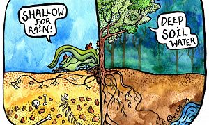
Hydrology • Geology/Chronology • Biology/Ecology • Climatology/Meteorology
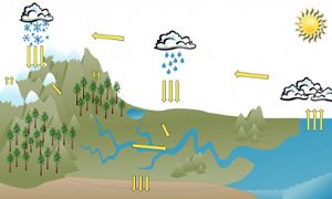
Understand how the Boulder Creek CZO's geology, hydrology, ecology, and climate interact to provide water in 3 learning modules: Foundations for Flow; Fire and Water; and Ice, Snow and H20.
Educational Objectives
Module 1: Foundations for Flow
Learners will be able to:
-
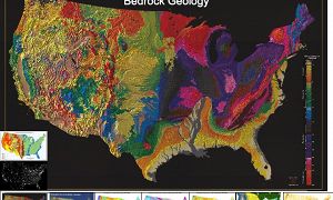
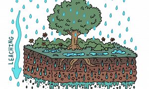
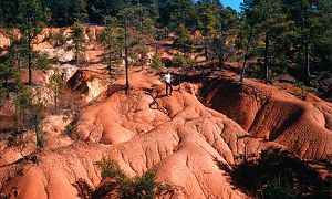
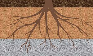
Describe and evaluate the impact of various geologic events and processes on the current structure of the Boulder Creek Watershed
-
Differentiate between constructive and destructive geologic forces impacting the Boulder Creek Watershed
-
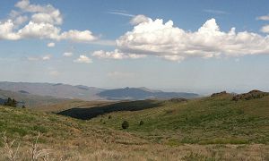
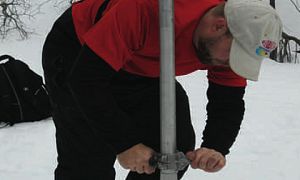
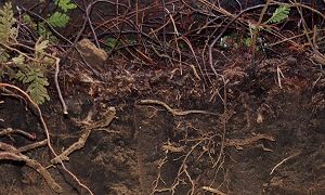
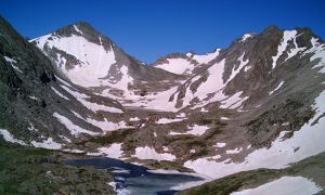
Describe the role of glacial and stream erosion in shaping the structure and hydrology in the Boulder Creek Watershed
-
Describe major events in Colorado’s climate over time and how they impacted the Boulder Creek Watershed
Module 2: Fire and Water
Learners will:
-
Relate changes to map-based images of Colorado over a large geologic time scale to major events in our geologic history
-
Describe relationships between existing geologic features and the processes and forces that created them
-
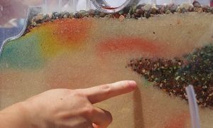
Will match rock samples to descriptions of the geologic processes/events that formed them
Module 3: Ice, Snow and H2O
Learners will:
-
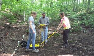
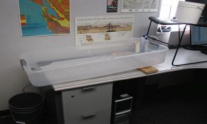
Simulate and describe the impacts of glacial erosion over time using a model
-
Identify characteristic features of glacial erosion in their model landscape
-
Describe the role of glaciers in shaping the Boulder Creek Watershed
NGSS Crosscutting Concepts:
Patterns •
Cause and Effect - Mechanism and Explanation •
Energy and Matter - Flows, Cycles, and Conservation •
Structure and Function
NGSS Science & Engineering Practices:
Asking Questions and Defining Problems •
Planning and Carrying Out Investigations •
Analyzing and Interpreting Data •
Developing and Using Models •
Engaging in Argument from Evidence
NGSS Disciplinary Core Ideas:
PS3 - Energy •
LS2 - Ecosystems: Interactions, Energy, and Dynamics •
ESS2 - Earth’s Systems •
ESS3 - Earth and Human Activity
Audience: K-12
Observatory:
Boulder CZO
Author: Eric Carpenter, Stacey Forsyth, Kristi Dahl, Laura Cecil, Melissa Foster, Rachel Gabor (INSTAAR)
Funding: Earth Systems Science: Exploring Change in the Critical Zone is a collaboration between the Boulder Creek Critical Zone Observatory Program, the Institute for Arctic and Alpine Research, and the University of Colorado Boulder – Science Discovery Program. This material is based upon work supported by the National Science Foundation under Grant No. 0724960.

_300_180_80auto_c1.jpg)
_300_180_80auto_c1.jpg)