Field Areas
Our CZO extends from the streams of the Christina River Basin to tidal and salt-water marshes in Delaware Bay.
This transition from Eastern Piedmont into Atlantic Coastal Plain is required for our whole watershed sapprolite to sea approach. Research Foci >
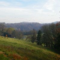
Europeans settled the region four centuries ago and current land covers include mature forest, agriculture, suburbia, urban, commercial and industrial. Christina River Basin >
The CRB-CZO provides an ideal natural laboratory to study the gradient of human impacts on critical zone processes. Infrastructure >
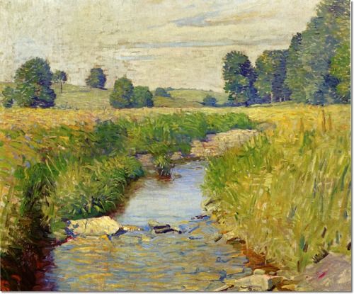
Brandywine Country 1930, N.C. Wyeth
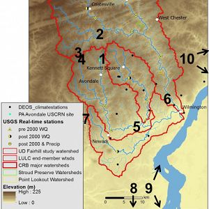
Christina River Basin
1440 km2, -0.75-329 m elevation, 12 °C, 1145 mm/yr
The 6th order Christina River Basin (CRB, 1440 km2), consists of 4 sub-watersheds: White Clay Creek (WCC, 277 km2); Red Clay Creek (RCC, 140 km2); Brandywine Creek (BC, 842 km2); and the tidal Christina River (CR, 202 km2) — that straddle southeastern Pennsylvania and northern Delaware and flow into the Delaware Estuary.
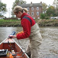
White Clay Creek @ SWRC
7.5 km2, 91-168 m elevation, 12 °C, 1145 mm/yr
Transect A
12 °C, 1145 mm/yr
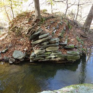
Boulton Run
0.2 km2, 109-146 m elevation, 12 °C, 1145 mm/yr
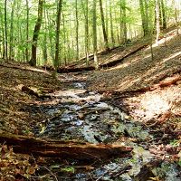
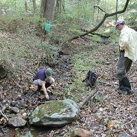
Forest Endmember: Spring Brook
0.096 km2, 80-154 m elevation, 12 °C, 1145 mm/yr
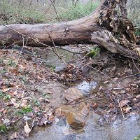
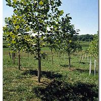
Agricultural Endmember: South Branch Doe Run
0.69 km2, 138-195 m elevation, 12 °C, 1145 mm/yr
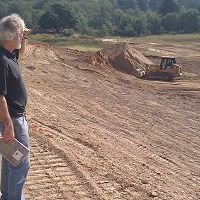
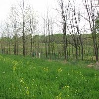
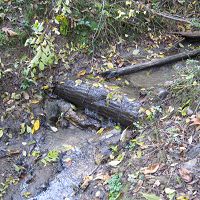
Construction Endmember: White Clay Creek below landfill
1.3 km2, 138-200 m elevation, 12 °C, 1145 mm/yr
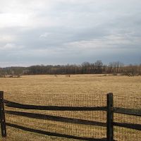
Lower White Clay Creek
12 °C, 1145 mm/yr
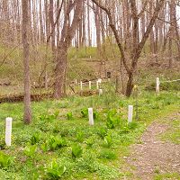
Riparian Buffer Experiment @ Stroud Preserve/Georgia Farm
12 °C, 1145 mm/yr
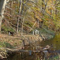
Halfway Run
0.145 km2, 87-127 m elevation, 12 °C, 1145 mm/yr
Morris Run
0.149 km2, 79-116 m elevation, 12 °C, 1145 mm/yr
Mine Hill Run
0.341 km2, 78-119 m elevation, 12 °C, 1145 mm/yr
Other Research Sites in CRB
12 °C, 1145 mm/yr
Satellite sites
The "sapprolite to sea" approach of the CRB-CZO requires inclusion of coastal and other sites outside of the Christina River Basin.
The Christina River Basin consists of 4 sub-watersheds:
- White Clay Creek (WCC, 277 km2);
- Red Clay Creek (RCC, 140 km2);
- Brandywine Creek (BC, 842 km2);
- Tidal Christina River (CR, 202 km2)
These sub-watersheds straddle southeastern Pennsylvania and northern Delaware and flow into the Delaware Estuary.
Six Intensive CZO Research Catchments
The impacts of three landuse end-members on hydrological, pedological and geomorphological processes will be studied intensively within three 1st order catchments: mature forest; row crop agriculture; continuous excavation (landfill).
In addition, the 3rd order east branch of White Clay Creek will integrate forest and agricultural landuses over a larger scale, and the floodplains and mouths of the two largest tributaries — Brandywine Creek and White Clay Creek — will be intensively studied as large-scale integrators.
Complementary Research Sites
The Christina River Basin and its four sub-basins may be one of the best studied watersheds of its size in the nation.
- There are 19 USGS stream/river gauging stations (6 in DE, 13 in PA) and 5 of the PA stations continuously monitor water quality properties (e.g. turbidity, pH, conductivity, dissolved oxygen).
- Stroud Water Research Center has historically maintained continuous discharge and other datasets at 3 stations.
- Non-continuous data collected by USGS and Stroud Water Research Center are available for 141 stations.
- Weather data has been continuously recorded by 5 USGS stations and a NOAA Climate Reference Network station.
Geology & Landuse
The Christina River Basin transitions from Piedmont into Atlantic Coastal Plain, the two most populated physiographic provinces in America.
The human footprint within the region spans centuries and current land covers include mature forest, agriculture, suburbia, urban, commercial and industrial, providing an ideal natural laboratory to study the gradient of human impacts on critical zone processes.
A diverse lithology — ranging from micaceous schist and gneiss to quartzite to marble — is overlaid by deep, unglaciatied soils of diverse chemical and physical characteristics—from Entisols to Ultisols to Histosols. Nearly all stream valleys are filled with 1-3+ m of “Legacy Sediment” eroded and deposited during intensive colonial deforestation, agriculture and mill damming.
A Wild & Scenic River
Less than 1/4 of 1% of rivers in the United States are protected under the National Wild & Scenic Rivers System. White Clay Creek is the only entire watershed designated within the Wild & Scenic Rivers System.
Explore Further
