INFRASTRUCTURE
CZOs build state-of-art research infrastructure for the greater CZ science community.
We then use that infrastructure to test our own hypotheses and conceptual models.
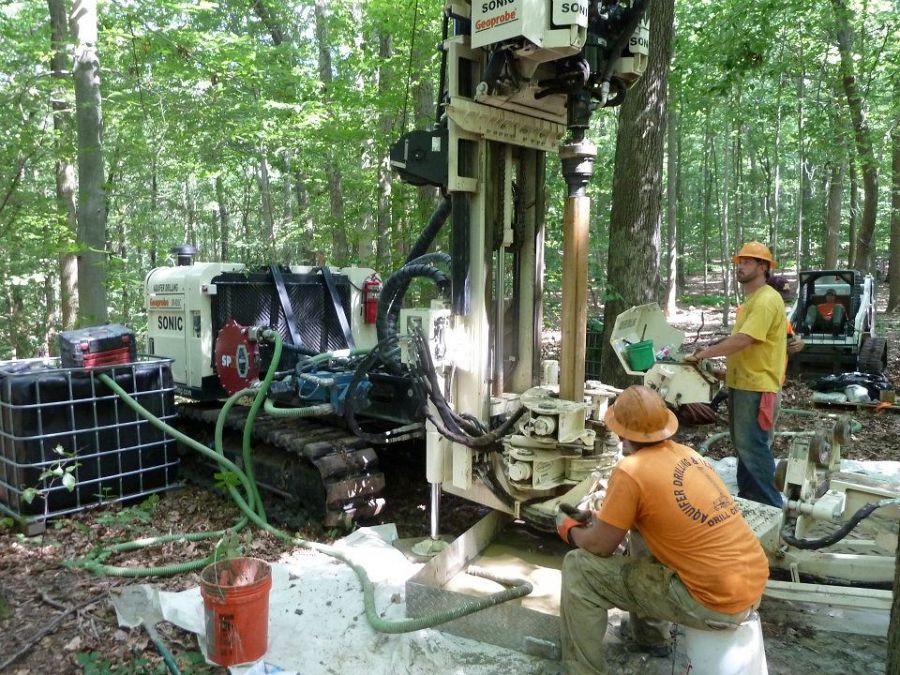
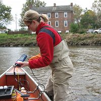
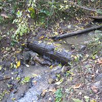
Drilling continous cores and wells in the Spring Brook Catchment. Photo: Beth Wenell.
Infrastructure News
FEATURED
CZ colleagues: Please contact us about proposals for NSF’s CZ Collaborative Network, due 02 Dec 2019
08 Jul 2019 - CZO will end Nov 2020, succeeded by the “CZ Collaborative Network”. Let’s explore how the CZ community can build upon the CZOs via new NSF proposals.
Water Resources Research Special Collection: Concentration-discharge relations in the critical zone
30 Oct 2017 - Water Resources Research published a new special collection in September 2017 featuring concentration-discharge research from multiple CZOs.
2017 CZO Webinar Series: Critical Zone and Society
06 Apr 2017 - 2017 CZO Webinar Series: Critical Zone and Society.
EOS: Taking the Pulse of the Earth’s Surface Systems
04 Dec 2015 - Taking the Pulse of the Earth's Surface Systems In September of 2014, Laurel Larsen (UC Berkley), Elizabeth Hajek (Penn State), and others...
Using a CZO network to explore the architecture, dynamics and evolution of the Critical Zone
03 Nov 2014 - The US CZO National Office has organized a webinar on December 8, 2014 at 11AM - 12:30 PM ET.
2014 CZOData Cyber-Seminar Spring Series
06 Mar 2014 - Presentations describing the Integrated CZO Data system and how to use it; for interested CZO investigators, students & staff.
Field Areas:
Christina River Basin
1440 km2, -0.75-329 m elevation, 12 °C, 1145 mm/yr
The 6th order Christina River Basin (CRB, 1440 km2), consists of 4 sub-watersheds: White Clay Creek (WCC, 277 km2); Red Clay Creek (RCC, 140 km2); Brandywine Creek (BC, 842 km2); and the tidal Christina River (CR, 202 km2) — that straddle southeastern Pennsylvania and northern Delaware and flow into the Delaware Estuary.
White Clay Creek @ SWRC
7.5 km2, 91-168 m elevation, 12 °C, 1145 mm/yr
Transect A
12 °C, 1145 mm/yr
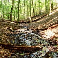
Boulton Run
0.2 km2, 109-146 m elevation, 12 °C, 1145 mm/yr
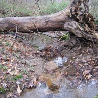
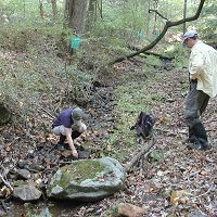
Forest Endmember: Spring Brook
0.096 km2, 80-154 m elevation, 12 °C, 1145 mm/yr
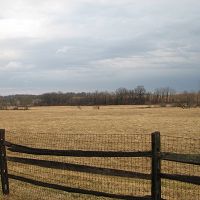
Agricultural Endmember: South Branch Doe Run
0.69 km2, 138-195 m elevation, 12 °C, 1145 mm/yr
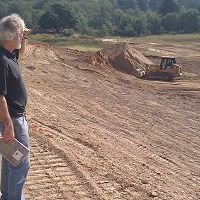
Construction Endmember: White Clay Creek below landfill
1.3 km2, 138-200 m elevation, 12 °C, 1145 mm/yr
Lower White Clay Creek
12 °C, 1145 mm/yr
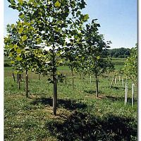
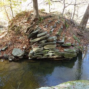
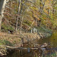
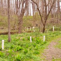
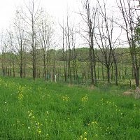
Riparian Buffer Experiment @ Stroud Preserve/Georgia Farm
12 °C, 1145 mm/yr
Halfway Run
0.145 km2, 87-127 m elevation, 12 °C, 1145 mm/yr
Morris Run
0.149 km2, 79-116 m elevation, 12 °C, 1145 mm/yr
Mine Hill Run
0.341 km2, 78-119 m elevation, 12 °C, 1145 mm/yr
Other Research Sites in CRB
12 °C, 1145 mm/yr
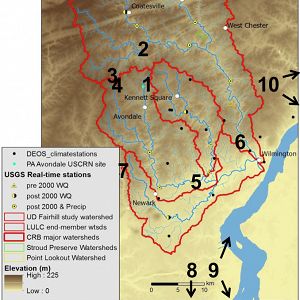
Satellite sites
The "sapprolite to sea" approach of the CRB-CZO requires inclusion of coastal and other sites outside of the Christina River Basin.
Explore Further
