Field Areas
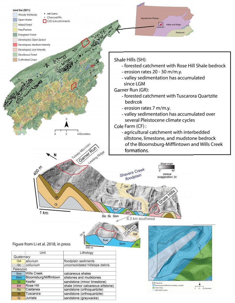
The Susquehanna Shale Hills Critical Zone Observatory has grown to include three targeted subcatchments within the Shaver's Creek Watershed and observations along the mainstem of Shaver’s Creek.
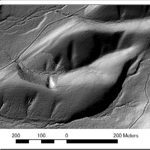
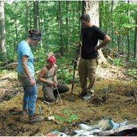
The initial research catchment, known as Shale Hills, is about 8 hectares in total area and located within the Penn State Forest, which is actively managed by the Penn State Forestland Management Office as renewable natural resources to provide timber, habitat for wildlife, opportunities for recreation & research, and protection of our water resources.
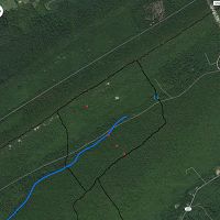
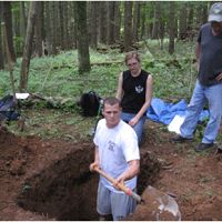
Garner Run (1.34 km2) is a headwater catchment with an intermittent stream flowing parallel to a syncline fold axis of the Tuscarora Formation, an erosion-resistant orthoquartzitic sandstone with minor interbedded shale units. This field site is located within the Rothrock State Forest which is funded and managed by the Pennsylvania Department of Conservation and Natural Resources, Bureau of Forestry.
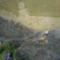
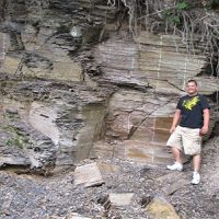
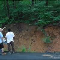
Cole Farm (0.65 km2) catchment is underlain by Wills Creek Formation, a calcareous shale containing interbedded siltstone, sandstone, shaly limestone, and dolomite. The farm is privately held and has utilized no-till practices for nearly a century.
At these sites, we emphasize quantitative prediction of Critical Zone evolution and structure, focusing on developing understanding of pathways and fluxes of water, energy, gas, solutes, and sediments. We particularly emphasize regolith structure and evolution including all relevant geochemical, hydrological, biological, and geomorphological processes operating in this temperate, forested landscape.
The Susquehanna Shale Hills Critical Zone Observatory (SSHCZO) consists of three instrumented subcatchments located in the mixed land use Shavers Creek Watershed, within the Valley and Ridge Physiographic Province of central Pennsylvania.
Susquehanna Shale Hills Critical Zone Observatory
0.08 km2, 256-310 m elevation, 9.5 °C, 1050 mm/yr
Our interdisciplinary team works collaboratively in one observatory to advance methods for characterizing regolith, to provide a theoretical basis for predicting the distribution and properties of regolith, and to theoretically and experimentally study the impacts of regolith on fluid pathways, flow rates, and residence times.
Cole Farm (Agricultural Site)
0.65 km2,
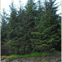
Garner Run - Sandstone Forested
![]()
Shale Transect
7-24 °C, 1000-2500 mm/yr
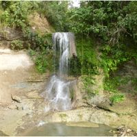
Sites with constant parent lithology (Silurian Rose Hill Formation) used to study the effects of climate on regolith formation, soil geochemistry, formation and erosion. The sites are operated in collaboration between Penn State and six partner institutions.
Wales, UK
7.2 °C, 2500 mm/yr
Colgate University NY
8.3 °C, 1000 mm/yr
Juniata College PA
10 °C, 1070 mm/yr
Washington and Lee VA
13 °C, 1400 mm/yr
Univ of Tennessee TN
14.2 °C, 1220 mm/yr
Alabama A&M AL
15.6 °C, 1370 mm/yr
U of Puerto Rico - Mayaguez
24.4 °C, 2100 mm/yr
Our interdisciplinary team works collaboratively in one observatory to advance methods for characterizing regolith, to provide a theoretical basis for predicting the distribution and properties of regolith, and to theoretically and experimentally study the impacts of regolith on fluid pathways, flow rates, and residence times.
The SSHO exists in a humid continental climate. Temperatures average 9.5°C with large seasonal differences: January temperature is –5.4°C, July is 19.0°C. The highest temperature recorded is 33.5°C (April 27, 2009) lowest –24.8°C (January 17, 2009). Annual average relative humidity is 70.2%. Atmospheric deposition in PA is still characterized by acidic (pH~4) precipitation. Water balance calculations for the last two years:
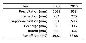
Water balance calculations for the calendar years 2009 and 2010.
Water balance calculations for the calendar years 2009 and 2010.
Explore Further
