ABOUT
Do not fill out this information.
On this particular page, the Initial Text and Image fields for this template are not used (inactive). A Carousel Slideshow is displayed instead.
To edit the Carousel Slideshow, Choose Edit Existing > Carousel Slides. Then navigate to your CZO's entry entitled "About"
The Christina River Basin Critical Zone Observatory (CRB-CZO) was established in 2009 as a community platform for research on critical-zone processes, and is based on a strategic partnership between the University of Delaware (UD), the Stroud Water Research Center (SWRC) and numerous other organizations.
The Christina River Basin Critical Zone Observatory (CRB-CZO) is one of six NSF-supported environmental observatories focusing on how water, atmosphere, ecosystems, and soils interact and shape the earth's surface.
The "Critical Zone" lies between rock and sky. It is essential to life — including human food production — and helps drive Earth's carbon cycle, climate change, stream runoff, and water quality.
Together with our counterpart observatories, we're helping determine how the Critical Zone operates and evolves — including a predictive ability for how it will respond to projected changes in climate and land use. We serve the international scientific community through research, infrastructure, data, and models.
A multidisciplinary team of scientists established CRB-CZO to integrate three major processes governing the critical zone: the water cycle, the mineral cycle, and the carbon cycle. Our holistic study of the entire 1440 km2 Christina River Basin watershed temporally integrates vertical and lateral carbon, mineral and water fluxes over a range of modern and historical land uses.
Unique Aspects of CRB-CZO:
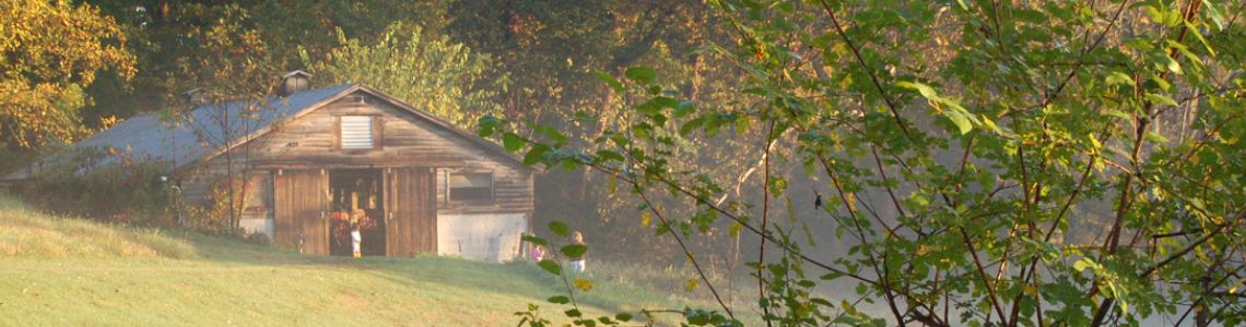
- Located in the Piedmont and Atlantic Coastal Plain physiographic provinces, and includes satellite coastal sites along the Delaware Estuary.
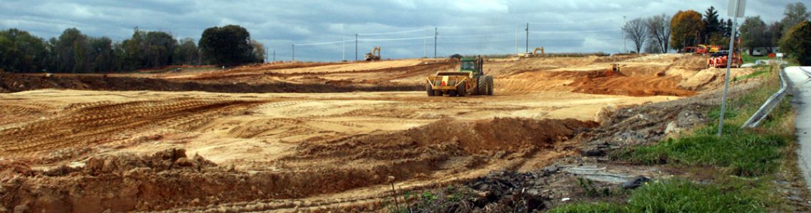
- Diverse human land use for centuries.
- Drinking water source to a million+ people in Northern Delaware and Southeastern Pennsylvania.
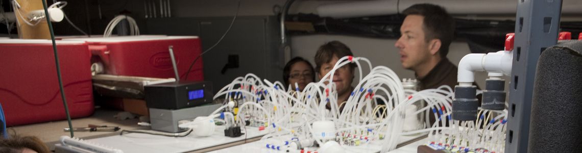
- Exceptionally well studied by USGS, SWRC, EPA and numerous local agencies Historical Datasets.
The Christina River Basin and its four sub-basins may be one of the best studied watersheds of its size in the nation. Studies include seminal fluvial geomorphology or the Brandywine Creek by Luna Leopold, more than 100 peer-reviewed publications by the Stroud Water Research Center, and extensive long-term monitoring efforts by EPA, USGS and others maintaining quality water supplies to one million people and developing Total Maximum Daily Load regulations. Within the CRB, there are 19 USGS stream/river gauging stations (6 in DE, 13 in PA) and 5 of the PA stations continuously monitor water quality properties (i.e. turbidity, pH, conductivity, dissolved oxygen). SWRC has historically maintained continuous discharge and other datasets at 3 stations. Non-continuous data collected by USGS and SWRC are available for 141 stations. Weather data has been continuously recorded by 5 USGS stations and a NOAA Climate Reference Network station.
Christina River Basin CZO
Delaware/Pennsylvania
Established 2009
"We integrate knowledge of water, mineral and carbon cycles to quantify human impact on Critical Zone carbon sequestration - from soils to sea."
Science Questions:
- Are mineral and carbon mixing processes rate-limiting to watershed-scale carbon sequestration, chemical weathering and soil production?
- Do humans accelerate carbon-mineral mixing rates, and is this significant to local, regional and global budgets?
Our CZO is located in the Piedmont and Atlantic Coastal Plain which provides drinking water to a million people in Delaware and Pennsylvania.
Our research focusses on water, carbon and mineral fluxes (temporal and spatial integration), including human impacts.
Explore Further
