Field Areas
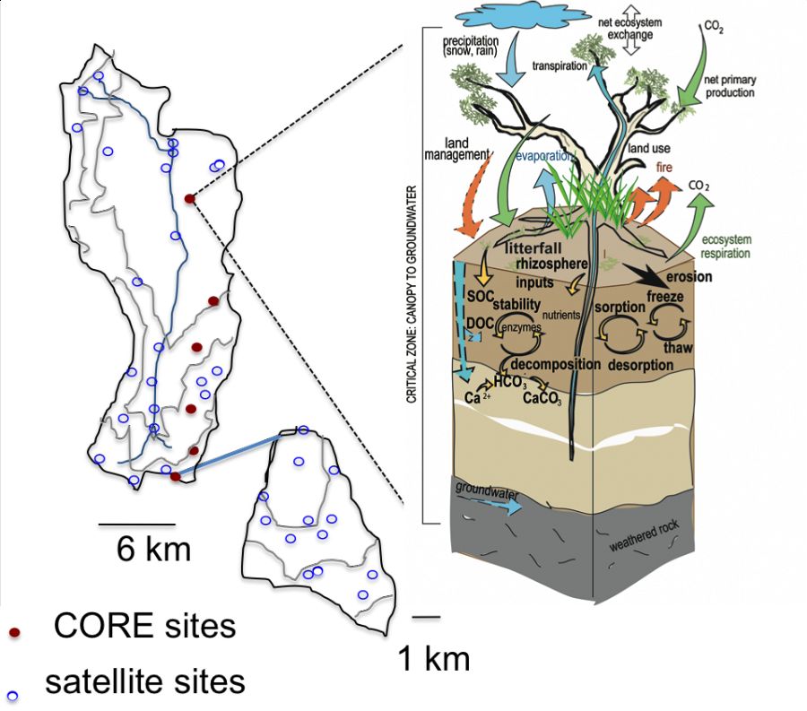
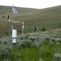
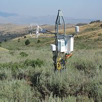
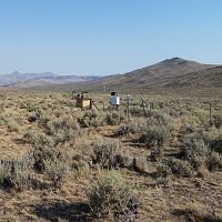
We will develop an integrated, watershed scale, instrumentation and monitoring network focused on soil carbon dynamics but of value across the hydrologic, ecologic, and geologic disciplines. We will focus on intensive measurements of soil carbon and aboveground and belowground processes within the vicinity of the 5 eddy covariance towers (to be redeployed as part of this research, and referred to the CORE sites hereafter) as well as collection of limited groundwater and stream samples.
Reynolds Creek Experimental Watershed
239 km2,
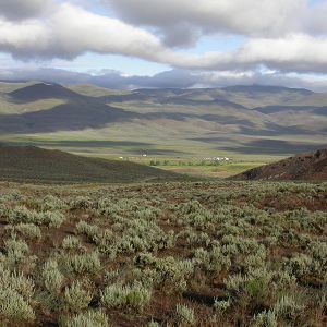
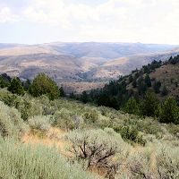
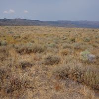
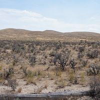
The Reynolds Creek CZO is located in the Reynolds Creek Experimental Watershed (RCEW) in the Owyhee Range in southwest Idaho. RCEW is 239 square km and encompasses a wide range of environments typical to the intermountain region of the western USA.
Murphy Creek
1.29 km2,
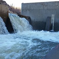
Tollgate Weir
Upper Sheep Creek
0.26 km2,
Johnston Draw
1.83 km2,
Mountain Big Sage
0.389 km2,
Lower Sheep Creek (Lower Sage)
0.131 km2,
Wyoming Big Sage
0.012 km2,
Flats
Reynolds Creek Experimental Watershed (RCEW) (239 km2)
Located in southwestern Idaho, the RCEW encompasses a wide range of ecohydrological environments typical of the intermountain region of the western USA. Most of the land in the watershed (77%) is owned by either the state or federal government, and, in this case, managed by the Bureau of Land Management (BLM). The remaining, privately held land is managed by local ranchers, primarily four families that live in or adjacent to the watershed and derive their livelihood from cattle ranching. The RCEW has four main instrumented subwatersheds, Reynolds Mountain East, Upper Sheep Creek, Johnston Draw, and Dobson Creek. Five CORE sites will be located with RCEW along an elevation gradient and co-located with long-term climate stations.
Reynolds Mountain East
- subwatershed with extensive snow surveys and studies
- 10 year of eddy covariance in aspen and sagebrush sites
- discharge and sediment since 1960's
- climate and precipitation gauges
- soil moisture and temperature sensors
Upper Sheep Creek
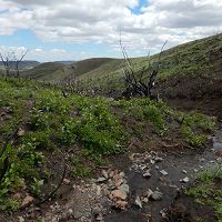
- subwatershed with previous intensive snow studies and aspen burn treatments
- 10 year of eddy covariance
- piezometers and groundwater wells
- discharge and sediment since 1960's
- climate and precipitation gauges
- soil moisture and temperature sensors
Dobson Creek
- subwatershed with aspen and conifer forest
Johnston Draw
- subwatershed with current topographic gradient study
- soil moisture and temperature sensors every 100 m in elevation.
- discharge and sediment since 2010
- slated for prescribed burn in 2015
New CORE sites
- Under selection
Map
Select the "Home" button to center map over the field area.
Larger Map (opens in new window/tab)
Explore Further
