White Clay Creek @ SWRC

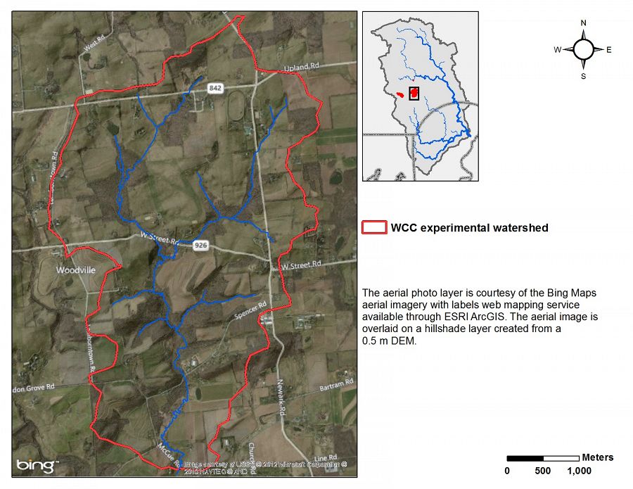
The 3rd order east fork of east branch of White Clay Creek above McCue Road is the long-term research watershed for the Stroud Water Research Center. It integrates forest and agricultural landuses over a large scale.
7.5 km2 Area
91 - 168 m Elev
12 °C Temp
1145 mm Precip
Parent Field Area:
Christina River Basin ▲
White Clay Creek near Stroud Water Research Center
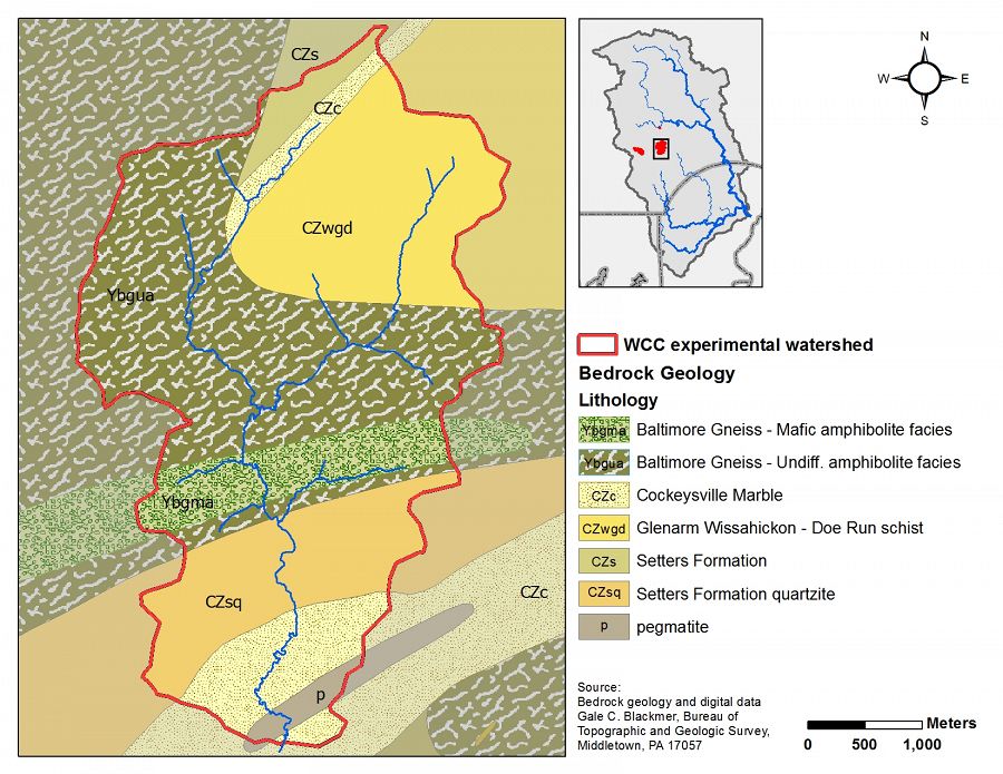
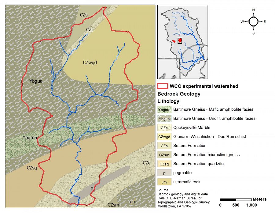
Lithology
metasediments
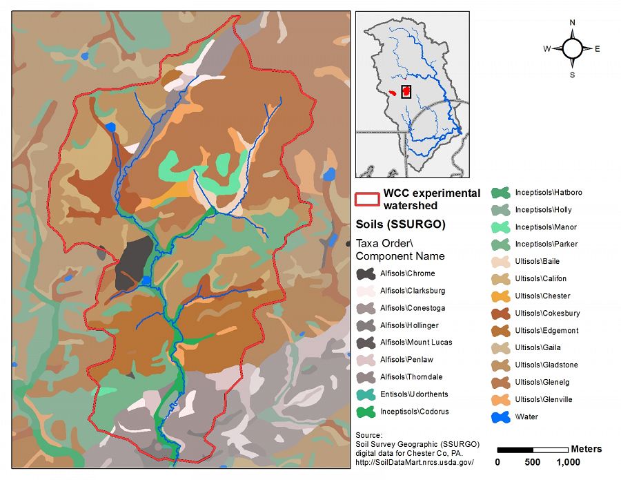
Soil Order
Alfisol, Entisol, Inceptisol, Ultisol
Biome
deciduous forest
Land Use
agricultural land, forest land, urban or built-up land
Areas within White Clay Creek @ SWRC
-
Setting & Research
Stroud Water Research Center has historically maintained continuous discharge and other datasets at three stations on White Clay Creek.
White Clay Creek Geology
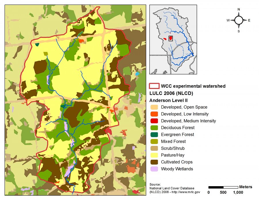
White Clay Creek Land Use/Land Cover
White Clay Creek Soils
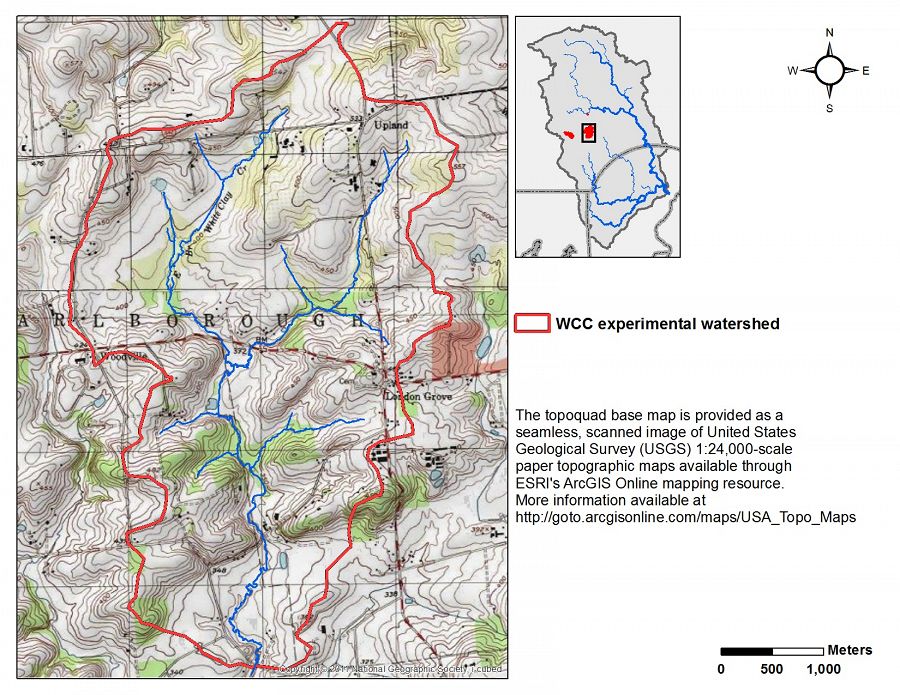
White Clay Creek USGS Topography
-
Overview Maps
Map Overlays
-
-
Dynamic Map
To fully zoom into a small area, you may need to visit the "Map" button and uncheck "Terrain" view.
-
Data
Christina River Basin - Stream Suspended Sediment (1993-2012)
20 components • Boulton Run, Christina River Basin, Forest Endmember: Spring Brook, White Clay Creek @ SWRC, Construction Endmember: White Clay Creek below landfill, Lower White Clay Creek, Agricultural Endmember: South Branch Doe Run • Water Chemistry, Geomorphology, Biogeochemistry, Hydrology, Geochemistry / Mineralogy • Aufdenkampe, A.K.; Newbold, J.D.; Anderson, B. A.; Richardson, D.; Damiano, S.G.Christina River Basin - Stream Water Chemistry (1977-2017)
25 components • White Clay Creek @ SWRC • Water Chemistry • Kaplan, L. A.; Newbold, J. D.; Aufdenkampe, A. K.; Anderson, B. A.; Damiano, S. G.Christina River Basin - Stream Water Temperatures (2007-2014)
8 components • Christina River Basin, Halfway Run, Mine Hill Run, Morris Run, White Clay Creek @ SWRC, Forest Endmember: Spring Brook, Riparian Buffer Experiment @ Stroud Preserve/Georgia Farm • Water Chemistry • Sweeney, B.; Funk, D.; Newbold, J. D.; Kaplan, L. A.; Damiano, S. G.; Kline, F.; West, H.PA Avondale 2N - Climate, Air Temperature, Meteorology, Precipitation - NOAA CRN (2006-2015)
19 components • Christina River Basin, White Clay Creek @ SWRC • Climatology / Meteorology, Hydrology • NOAA Climate Reference Network (CRN)PA Avondale 2N - Soil Moisture, Soil Temperature - NOAA CRN (2011-2015)
5 components • Christina River Basin, White Clay Creek @ SWRC • Hydrology, Climatology / Meteorology, Soil Science / Pedology • NOAA Climate Reference Network (CRN)Stroud Water Research Center - Precipitation, Meteorology (1996-2010)
1 components • White Clay Creek @ SWRC • Climatology / Meteorology, Hydrology • Tsang, Y-P; Newbold, J. D.; Damiano, S. G.Third-order White Clay Creek and Boulton Run - Climate, Stable Isotopes, Stream Water Chemistry (2011-2012)
1 components • White Clay Creek @ SWRC • Climatology / Meteorology, Geochemistry / Mineralogy, Hydrology, Water Chemistry • Diana L. KarwanWhite Clay Creek - Chlorophyll - Pheophytin (2001-2012)
12 components • White Clay Creek @ SWRC • Biology / Ecology • Newbold, J. D.; Damiano, S. G.White Clay Creek - Stage, Streamflow / Discharge (1968-2014)
55 components • White Clay Creek @ SWRC, Christina River Basin • Hydrology • Stroud Water Research CenterWhite Clay Creek - Well Water Levels (1988-2012)
5 components • White Clay Creek @ SWRC, Christina River Basin • Hydrology • Stroud Water Research Center -
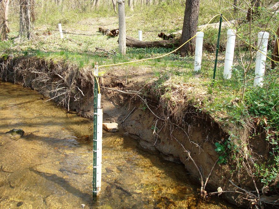
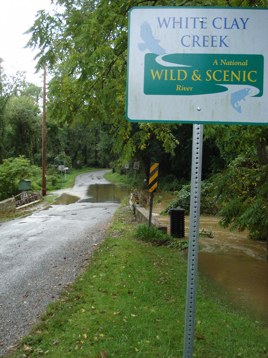
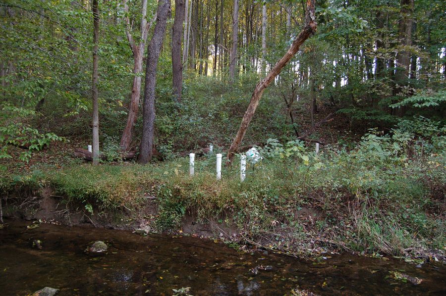
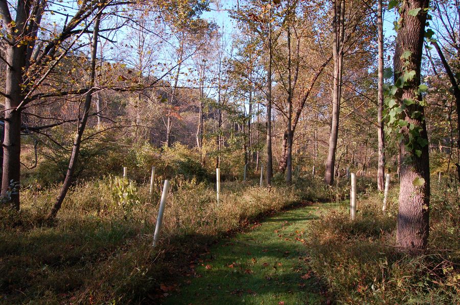
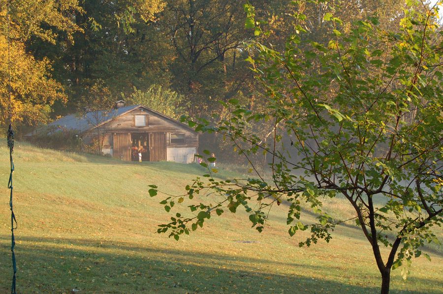
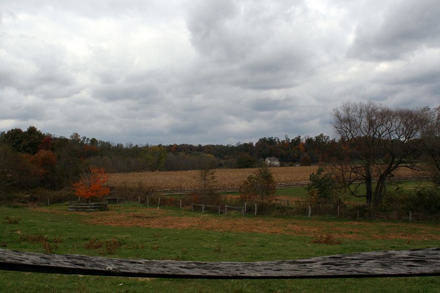
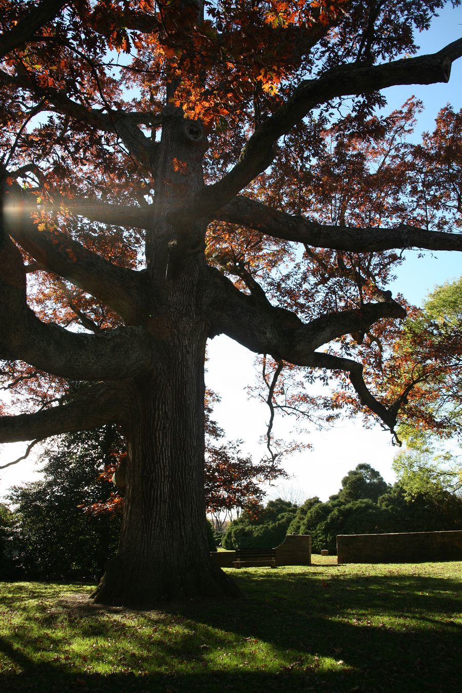
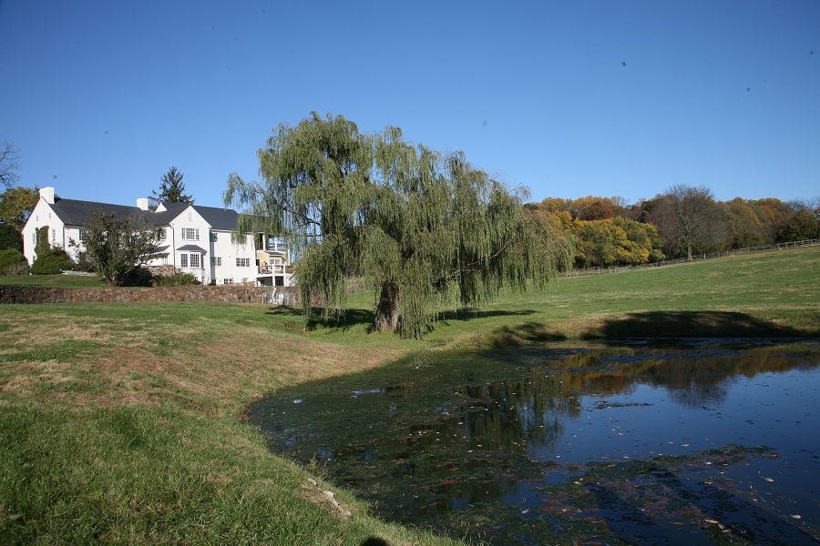
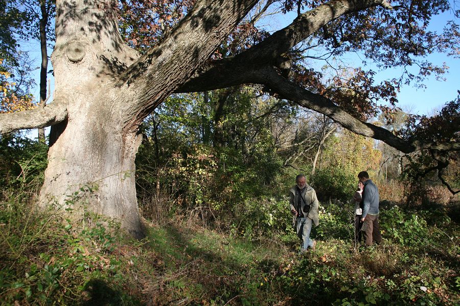
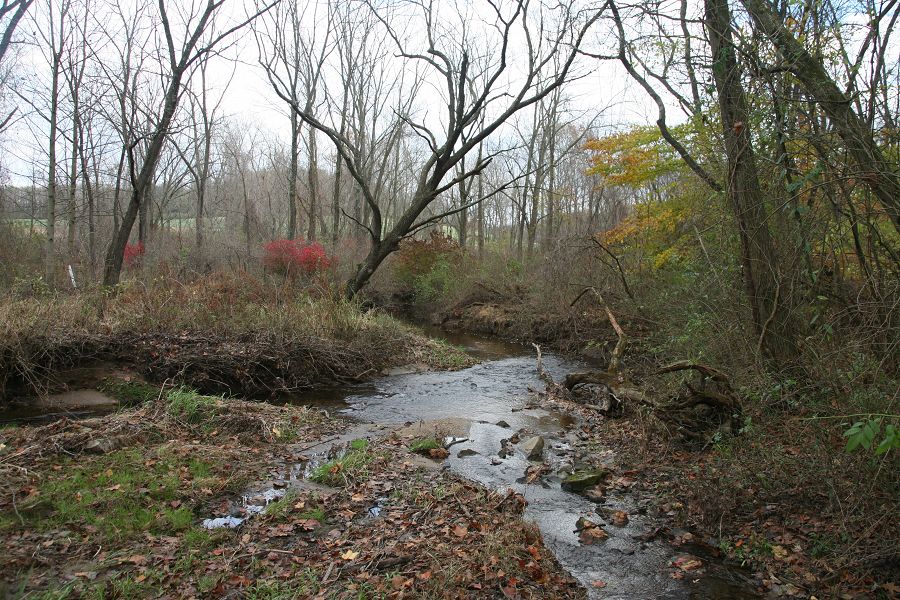
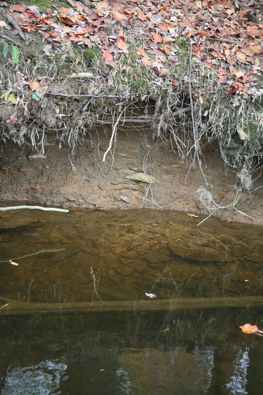
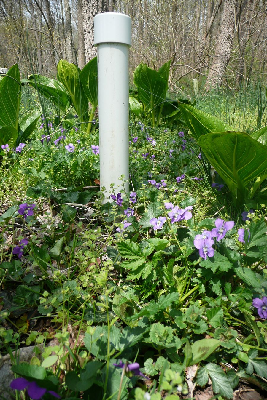
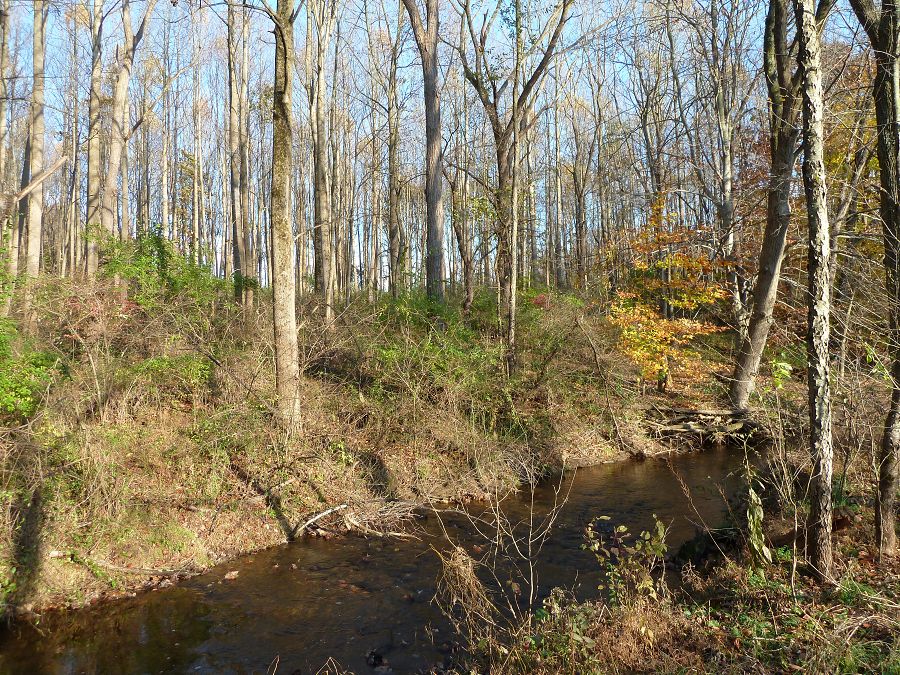
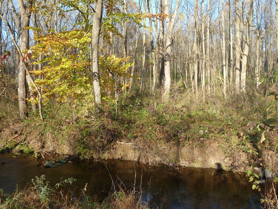
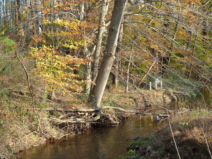
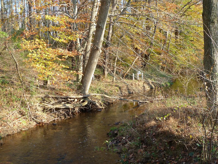
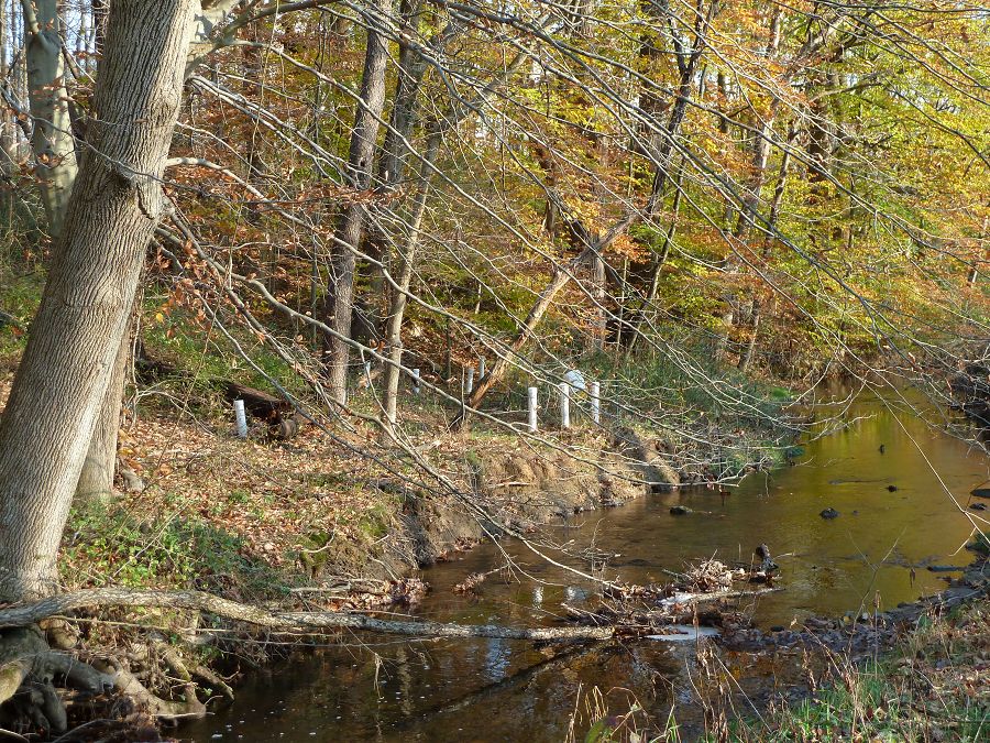
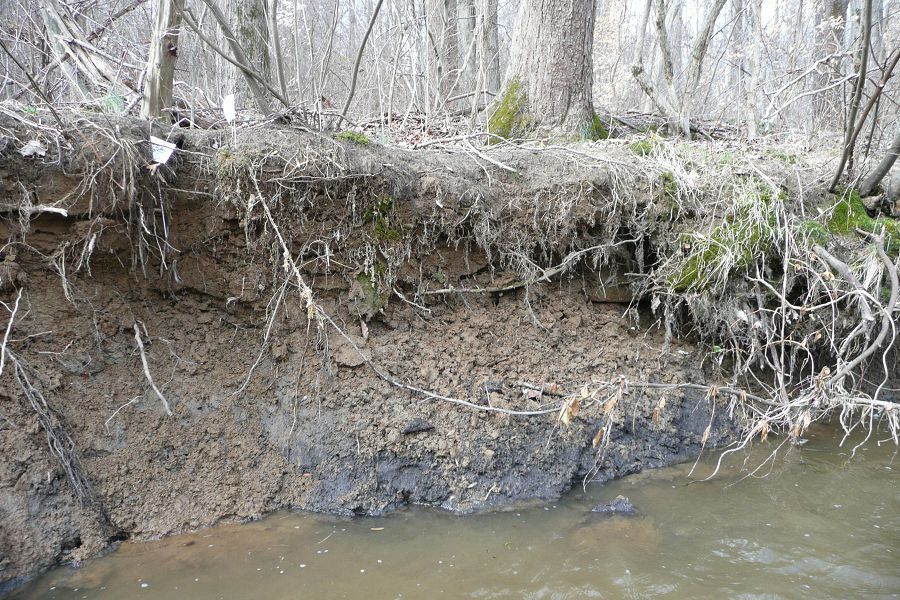
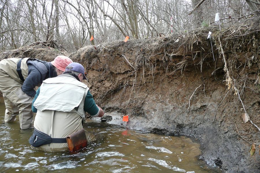
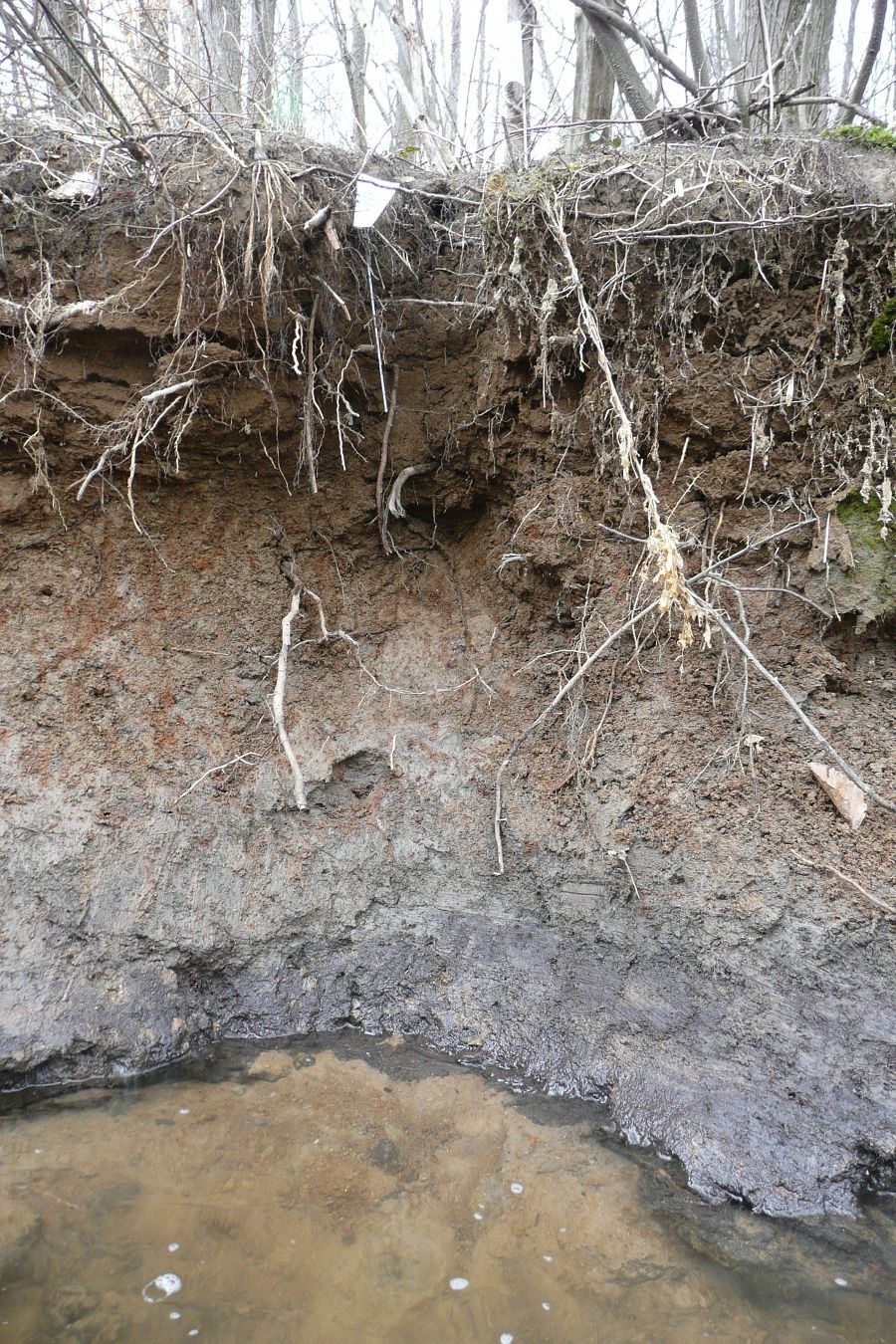
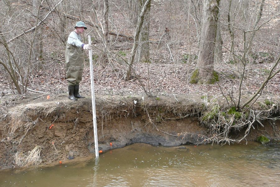
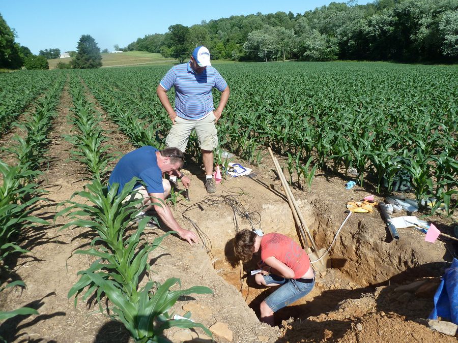
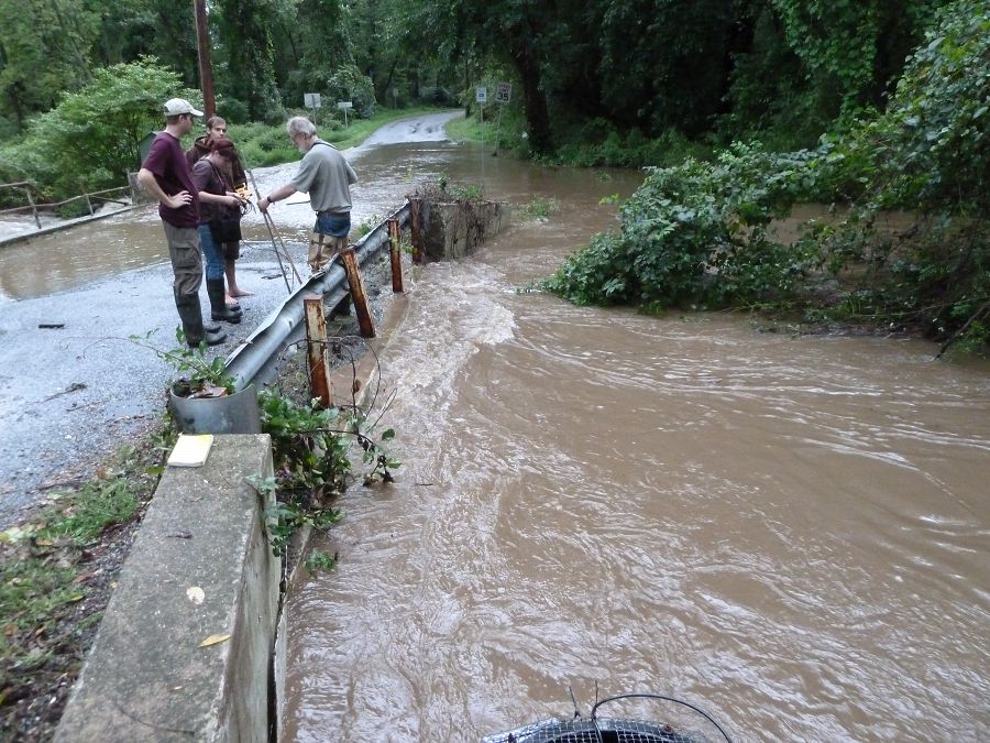
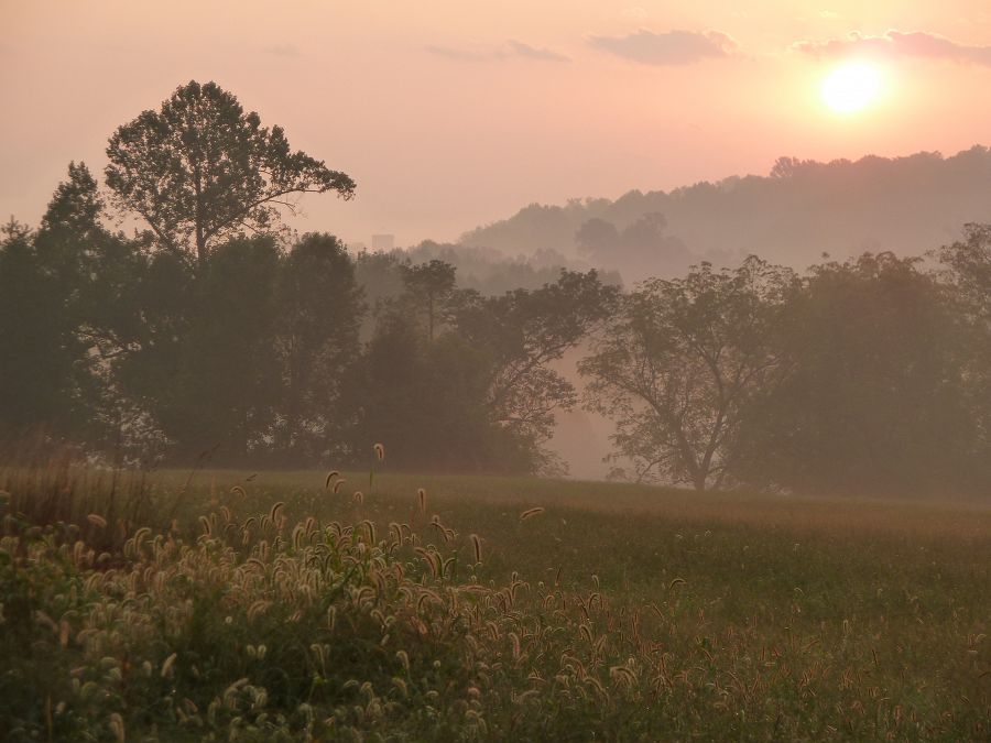
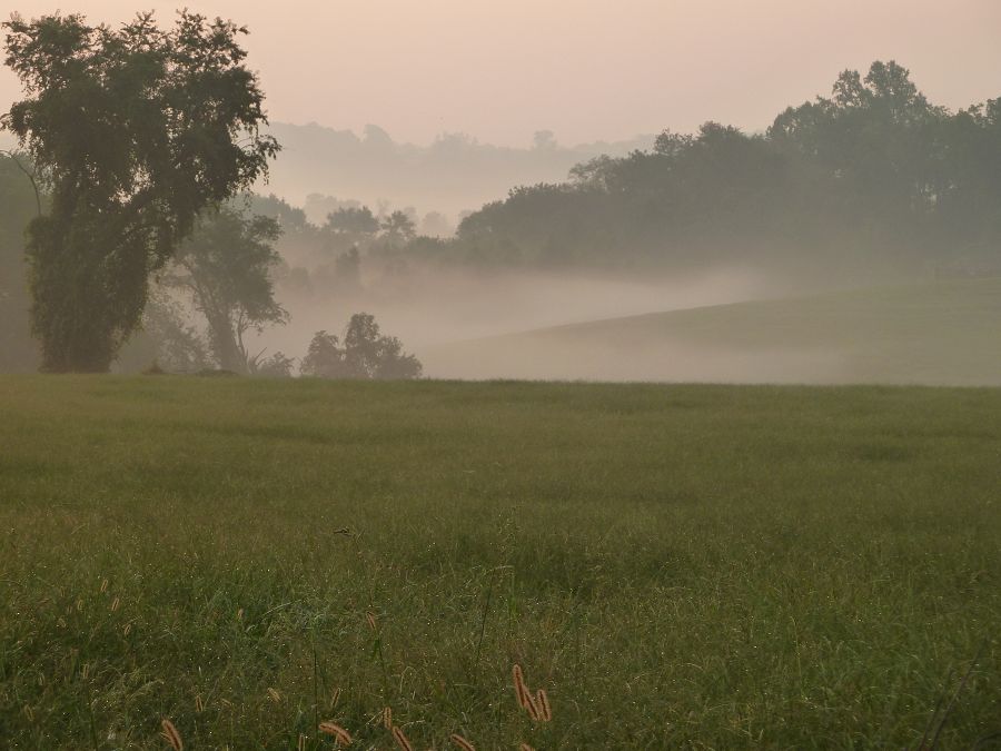
Photos
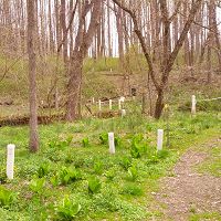
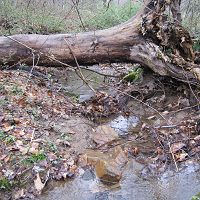
CRB-CZO Upper White Clay Creek @ SWRC field area

x

x

x

x

x

x

x

x

x

x

x

x

x

x

x

x

x

x

x

x

x

x

x

x

x

x

x
-
Partner Organizations


-
Geology
- metasediments
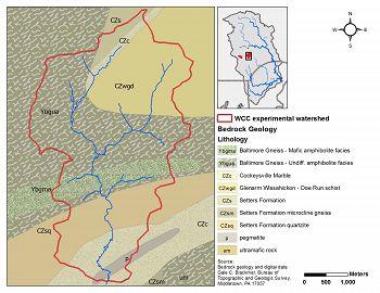
White Clay Creek Geology
-
Topography
91 - 168 m elevation (129 m mean)
Elevation data are based on 10m DEM data from USGS National Elevation Data.

White Clay Creek USGS Topography
-
Climate
12 °C Mean Annual Temp 1145 mm Mean Annual Precipitation There is an exceptionally long climate record for the Christina River Basin. Our figures are based on 115 years of NOAA data back to 1894 with at least one station per year having at least 360 days of non-missing records in the given year. Visit the climate tab for the entire Christina River Basin to view plots of climate data.
-
Soil
- Alfisol
- Entisol
- Inceptisol
- Ultisol
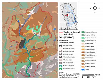
White Clay Creek Soils
-
Human Impacts
- agricultural land
- forest land
- urban or built-up land
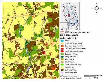
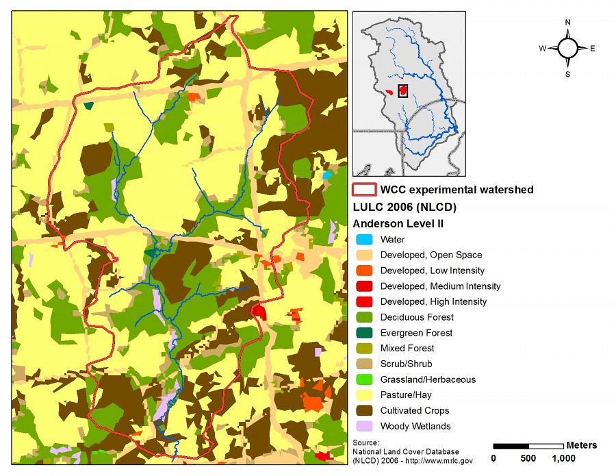
White Clay Creek Land Use/Land Cover
Land Use/ Land Cover Types (Level II) Category LULCID % Developed, Open Space 21 7.7 Developed, Low Intensity 22 0.3 Deciduous Forest 41 21.3 Evergreen Forest 42 0.2 Mixed Forest 43 0.4 Shrub/Scrub 52 2.9 Pasture/Hay 81 45.4 Cultivated Crops 82 20.7 Woody Wetlands 90 1.0 Land Use/ Land Cover Types (Level I) Category % Open Water 0.0 Developed, Open Space 7.7 Developed 0.3 Barren Land 0.0 Forest 21.9 Shrub/Scrub 2.9 Grassland/Herbaceous 0.0 Agriculture 66.1 Wetlands 1.0 Land use/cover data from the National Land Cover Dataset for 2006.
Explore Further
