Forest Endmember: Spring Brook
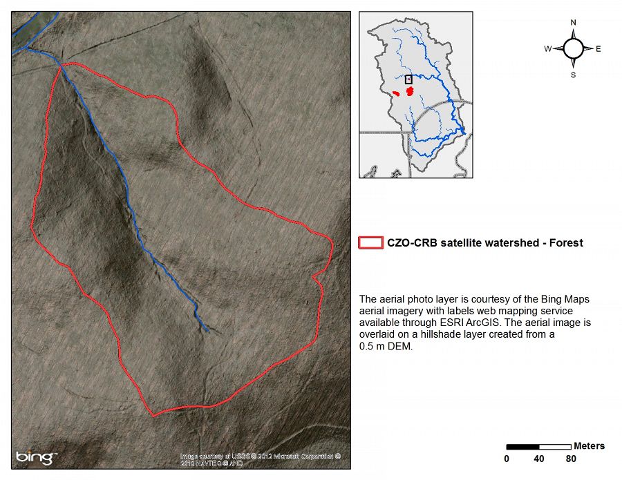
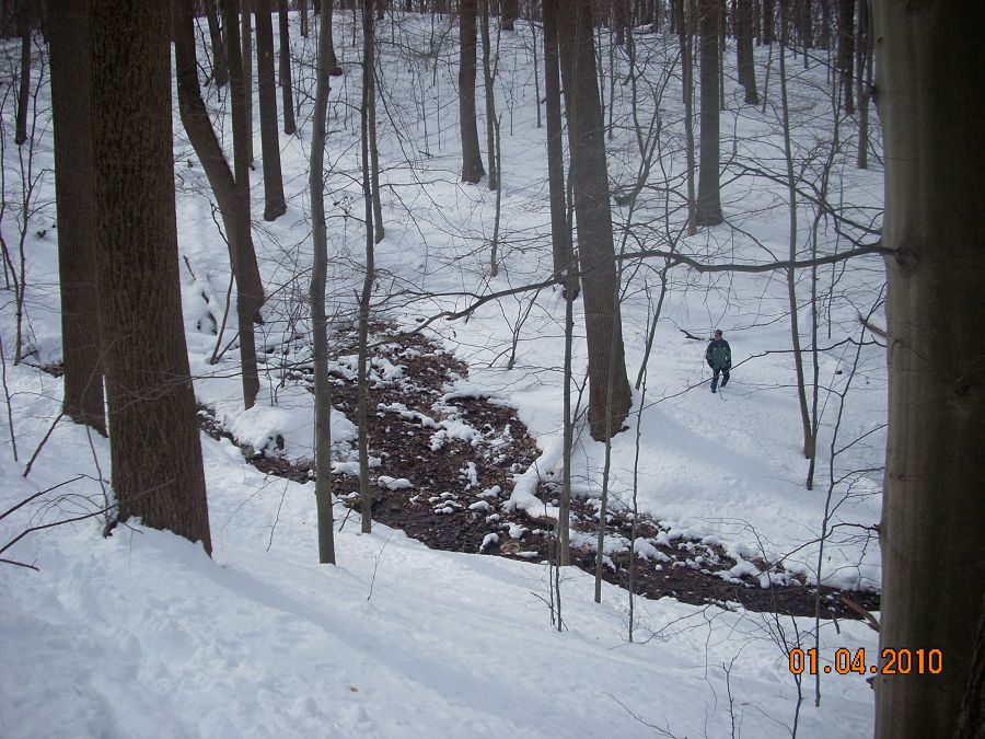
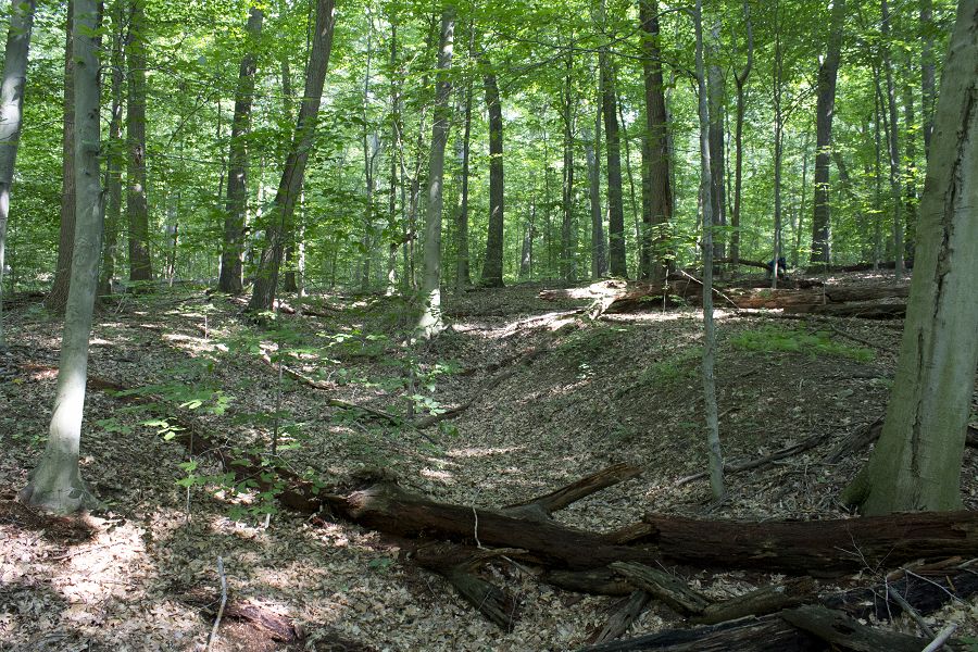
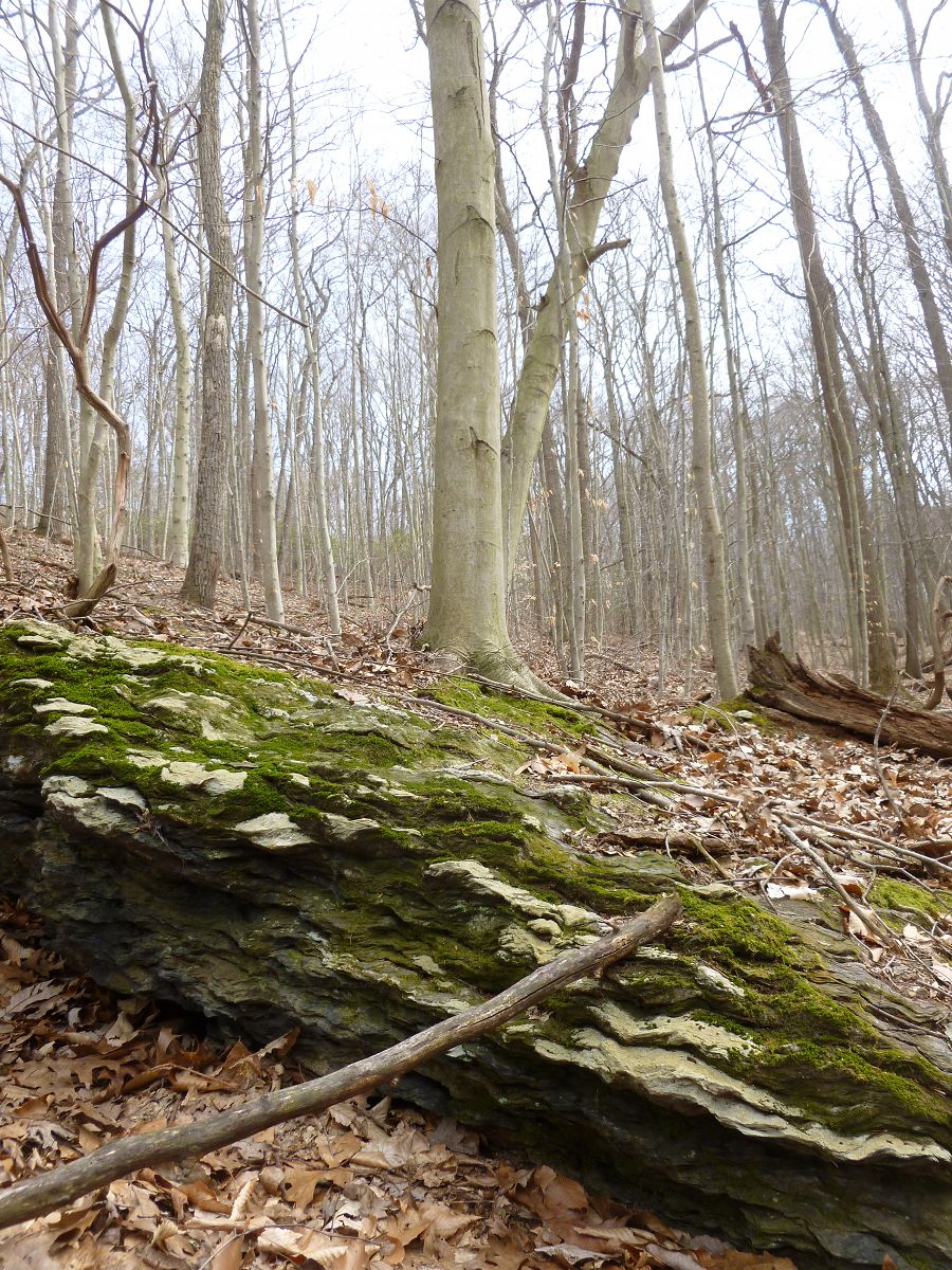
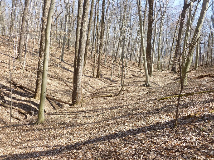
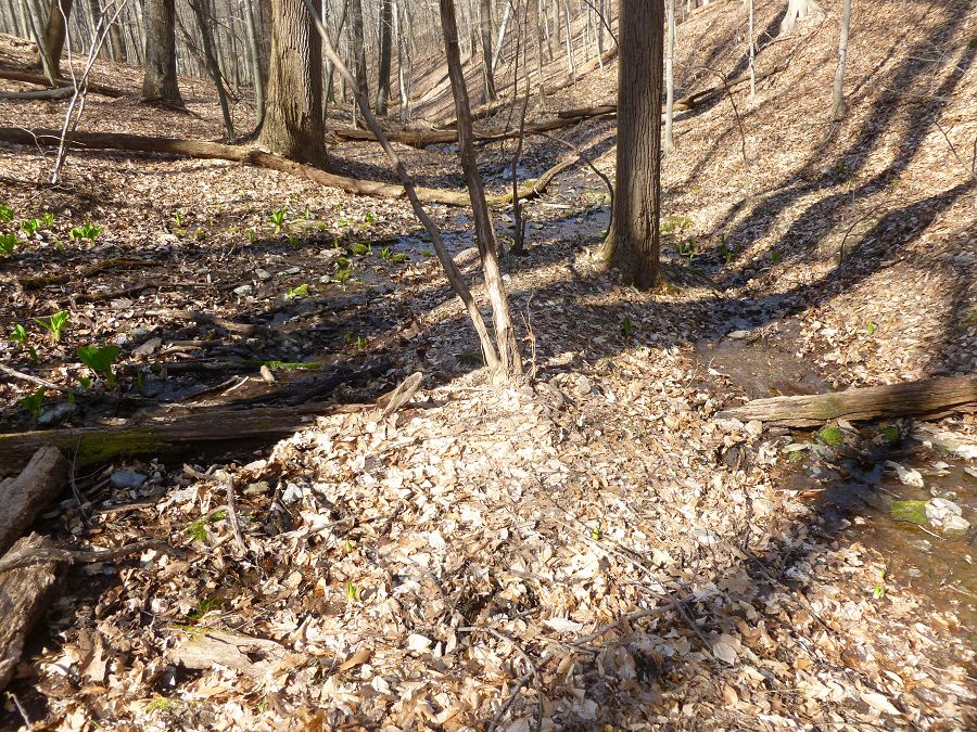
Spring Brook is in the Brandywine Conservancy's Laurels preserve and is the CRB-CZO's forest endmember. It is a ~8 ha 1st-order catchment that is 100% in mature forest.
0.096 km2 Area
80 - 154 m Elev
12 °C Temp
1145 mm Precip
Parent Field Area:
Christina River Basin ▲
Spring Brook, within the Brandywine Conservancy's Laurels Preserve.
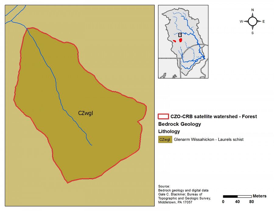
Lithology
metasediments
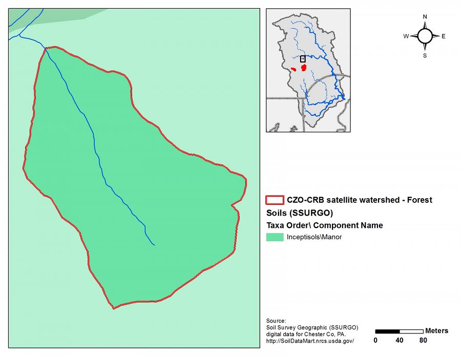
Soil Order
Inceptisol
Biome
deciduous forest
Land Use
forest land
-
Setting & Research
Spring Brook is in the Brandywine Conservancy's Laurels preserve and is the CRB-CZO's forest endmember. It is a ~8 ha 1st-order catchment that is 100% in mature forest.
During Hurricane Irene in August 2011, the catchment showed only a ~2 cm increase in stream stage during six inches of rain. Adjacent streams, with headwaters in pasture, all flooded overbank during Irene, leading CRB-CZO scientists to question whether geology or land cover is responsible for the tiny storm response in Spring Brook.
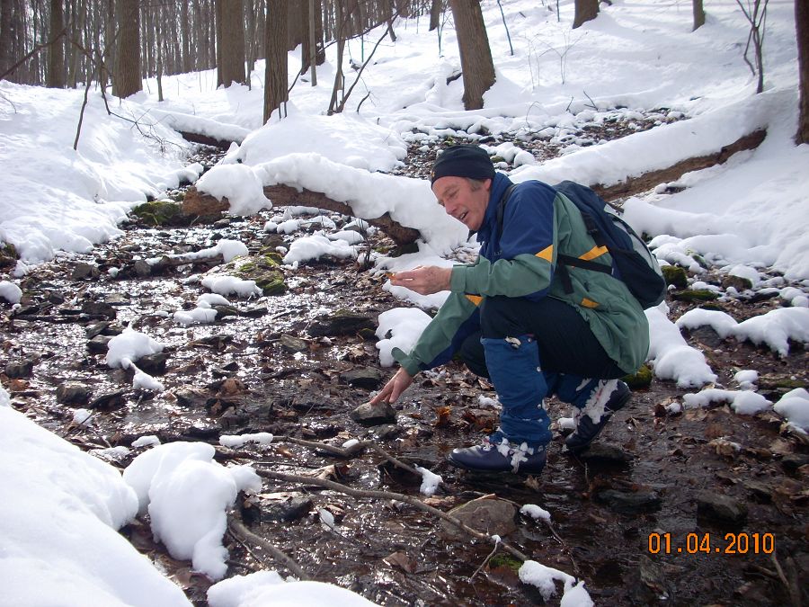
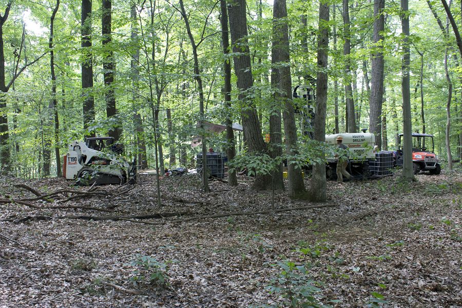
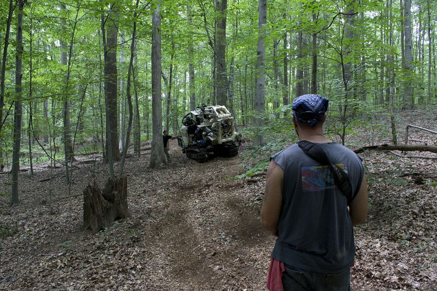
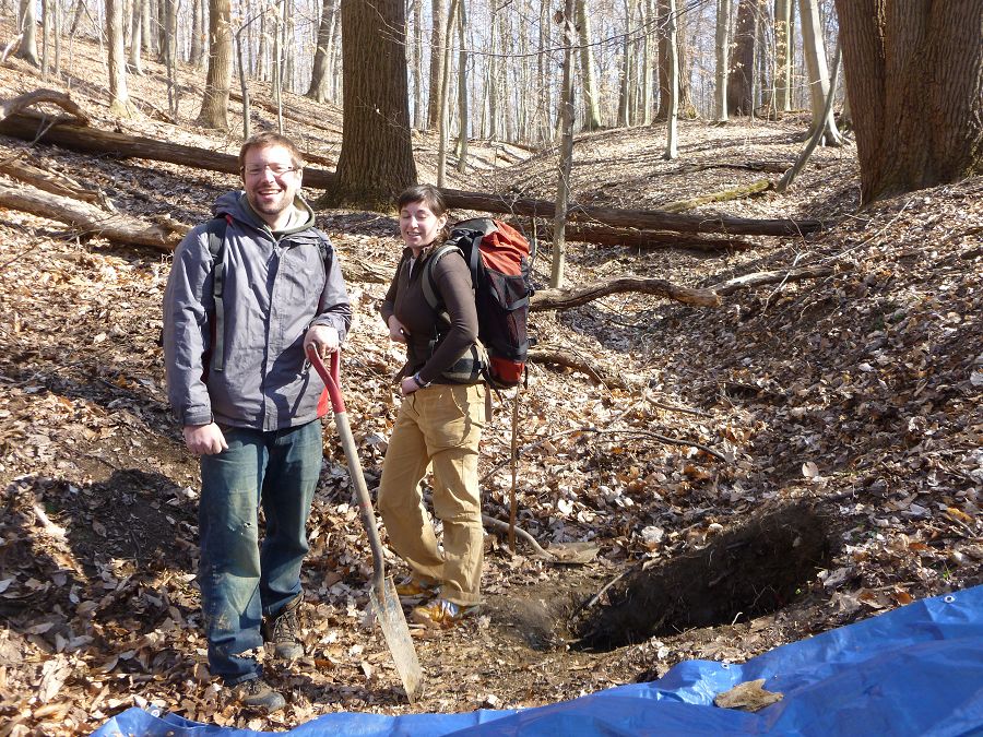
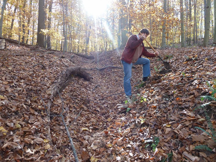
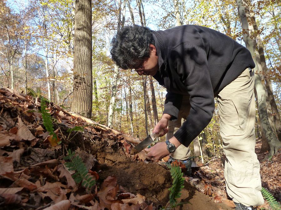
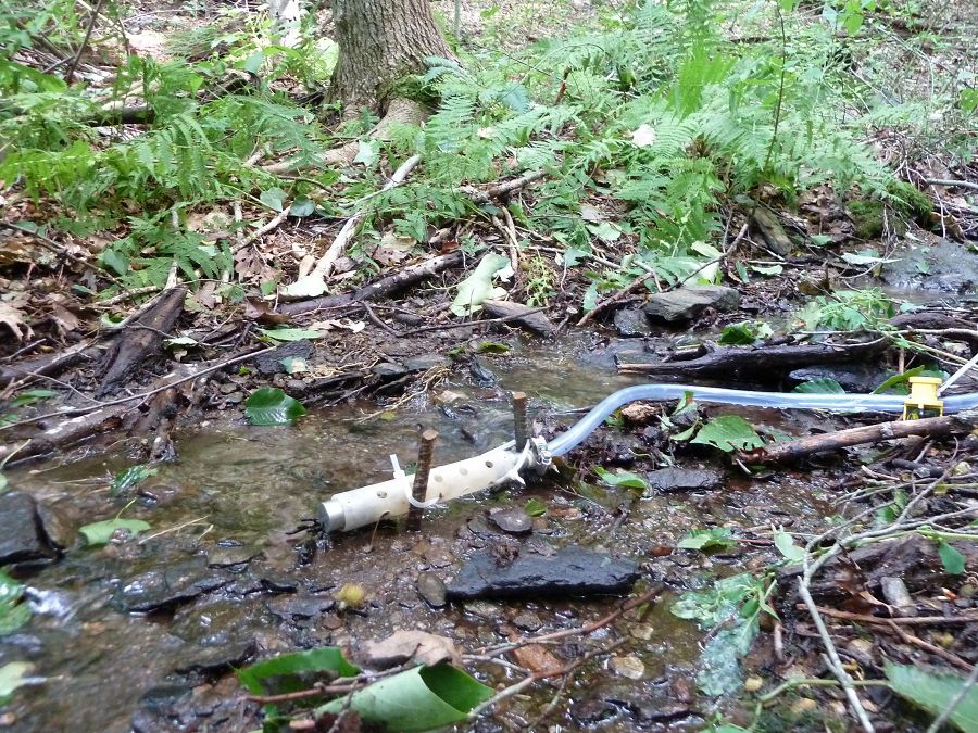
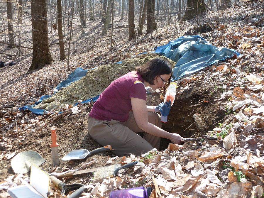
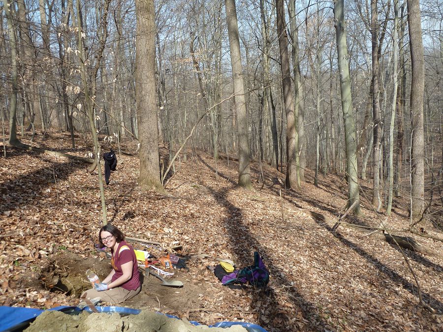
Four soil pits (~1.0-1.5 m deep) have been dug along a hillslope transect. CRB-CZO is planning on intensively instrumenting this watershed in the near future. Currently there is a minimum of hydrological infrastructure. However, in the next 12 months we hope to install an H-flume for stream discharge and shallow wells for riparian groundwater elevation.
Forest endmember geology
Forest endmember topography
Forest endmember soils
Forest endmember land use/land cover
-
Overview Maps
Map Overlays
-
-
Dynamic Map
To fully zoom into a small area, you may need to visit the "Map" button and uncheck "Terrain" view.
-
Data
Christina River Basin - Stream Suspended Sediment (1993-2012)
20 components • Boulton Run, Christina River Basin, Forest Endmember: Spring Brook, White Clay Creek @ SWRC, Construction Endmember: White Clay Creek below landfill, Lower White Clay Creek, Agricultural Endmember: South Branch Doe Run • Water Chemistry, Geomorphology, Biogeochemistry, Hydrology, Geochemistry / Mineralogy • Aufdenkampe, A.K.; Newbold, J.D.; Anderson, B. A.; Richardson, D.; Damiano, S.G.Christina River Basin - Stream Water Temperatures (2007-2014)
8 components • Christina River Basin, Halfway Run, Mine Hill Run, Morris Run, White Clay Creek @ SWRC, Forest Endmember: Spring Brook, Riparian Buffer Experiment @ Stroud Preserve/Georgia Farm • Water Chemistry • Sweeney, B.; Funk, D.; Newbold, J. D.; Kaplan, L. A.; Damiano, S. G.; Kline, F.; West, H. -
Photos
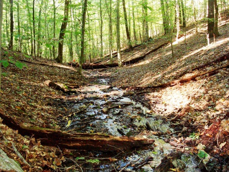
CRB-CZO Forest Endmember Field Area

x

x

x

x

x

x

x

x

x

x

x

x

x

x

x

x

x

x

x
Spring Brook is in the Brandywine Conservancy's Laurels preserve and is the CRB-CZO's forest endmember. It is a ~8 ha 1st-order catchment that is 100% in mature forest.
-
Partner Organizations


-
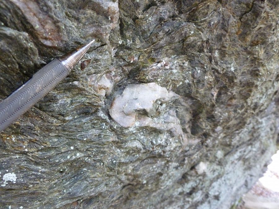
Geology
- metasediments
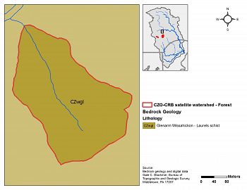
Forest endmember geology
The lithology of Spring Brook is mapped as uniform Laurels Schist, a silvery-gray-green quartz-plagioclase-muscovite-chlorite-garnet schist having minor biotite.
-
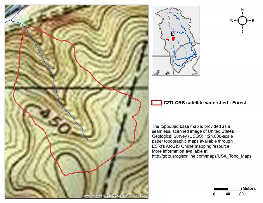
Topography
80 - 154 m elevation (131 m mean)
Elevation data are based on 10m DEM data from USGS National Elevation Data.

Forest endmember topography
-
Climate
12 °C Mean Annual Temp 1145 mm Mean Annual Precipitation There is an exceptionally long climate record for the Christina River Basin. Our figures are based on 115 years of NOAA data back to 1894 with at least one station per year having at least 360 days of non-missing records in the given year. View plots of climate data.
-
Soil
- Inceptisol
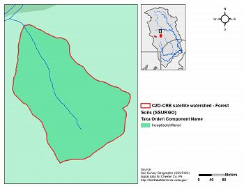
Forest endmember soils
The Manor loam is an Inceptisol that is coarse-loamy, micaceous, mesic Typic Dystrudepts.
-
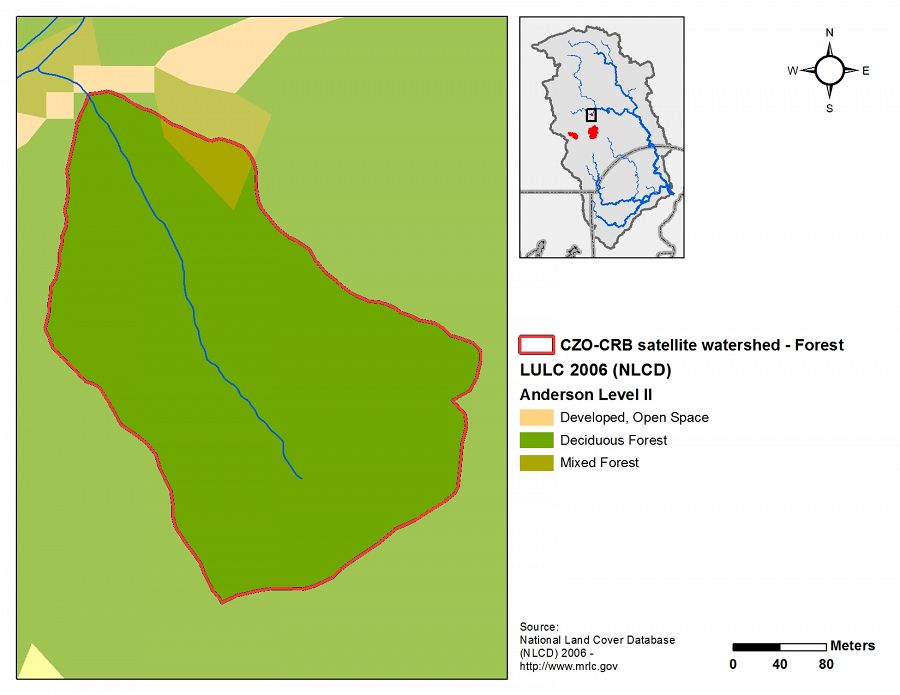
Human Impacts
- forest land
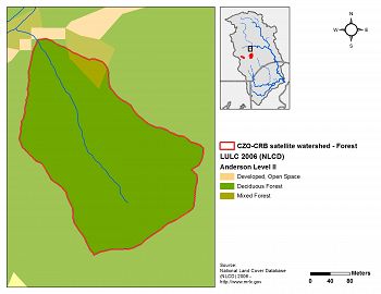
Forest endmember land use/land cover
Land Use/Land Cover Types (Level II) Category LULC ID % Developed, Open Space 21 0 Deciduous Forest 41 97.2 Mixed Forest 43 2.8 Land use/cover data from the National Land Cover Dataset for 2006.


Explore Further
