Christina River Basin
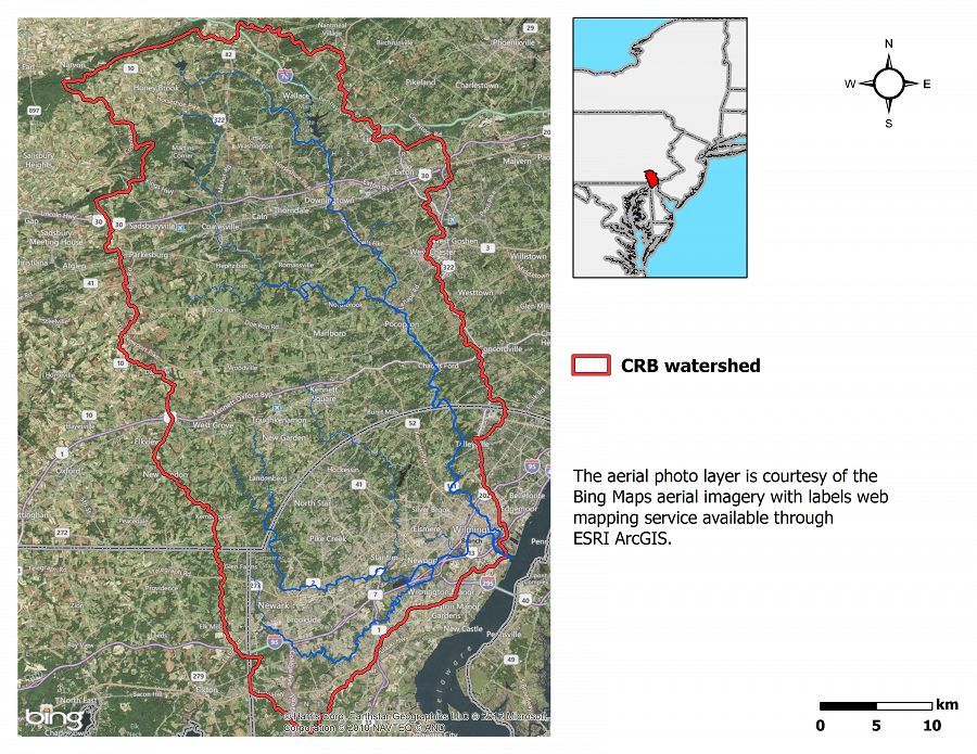
The 6th order Christina River Basin (CRB, 1440 km2), consists of 4 sub-watersheds: White Clay Creek (WCC, 277 km2); Red Clay Creek (RCC, 140 km2); Brandywine Creek (BC, 842 km2); and the tidal Christina River (CR, 202 km2) — that straddle southeastern Pennsylvania and northern Delaware and flow into the Delaware Estuary.
1440 km2 Area
-0.75 - 329 m Elev
12 °C Temp
1145 mm Precip
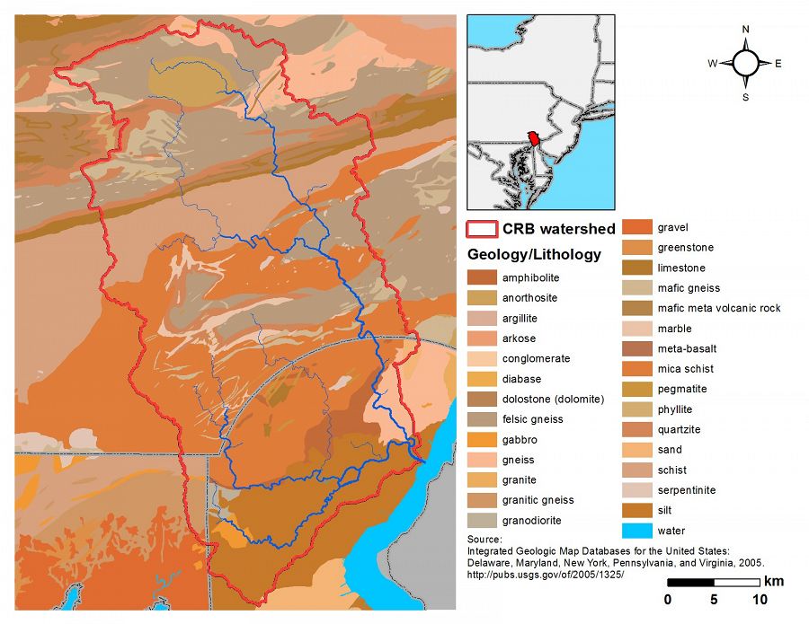
Lithology
metasediments
Soil Order
Alfisol, Entisol, Histosol, Inceptisol, Ultisol
Biome
deciduous forest
Land Use
agricultural land, forest land, rangeland, urban or built-up land
Areas within Christina River Basin
-
Setting & Research
The CRB may be one of the best studied watersheds of its size in the nation.
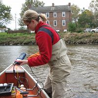
There are 19 USGS stream/river gauging stations (6 in DE, 13 in PA) and 5 of the PA stations continuously monitor water quality properties (i.e. turbidity, pH, conductivity, dissolved oxygen). Stroud Water Research Center has historically maintained continuous discharge and other datasets at 3 stations. Non-continuous data collected by USGS and Stroud Water Research Center are available for 141 stations. Weather data has been continuously recorded by 5 USGS stations and a NOAA Climate Reference Network station. Much of the real-time data is available on an interactive map-based visualization system at wikiwatershed-vs.org.
Six Intensive CZO Research Catchments
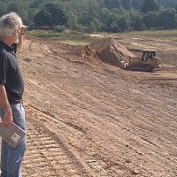
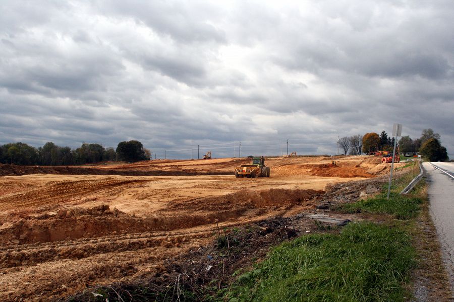
The impacts of three landuse end-members on hydrological, pedological and geomorphological processes will be studied intensively within three 1st order catchments: mature forest; row crop agriculture; continuous excavation (landfill). In addition, the 3rd order east branch of White Clay Creek will integrate forest and agricultural landuses over a larger scale, and the floodplains and mouths of the two largest tributaries—Brandywine Creek and White Clay Creek—will be intensively studied as large-scale integrators.
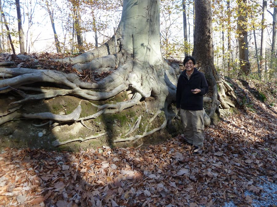
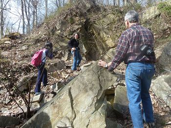
Soil pit (WCC_Pit_For2) in forest at Stroud Water Research Center. Photo: Kyungsoo Yoo (University of Delaware)
Christina River Basin Geology Overview
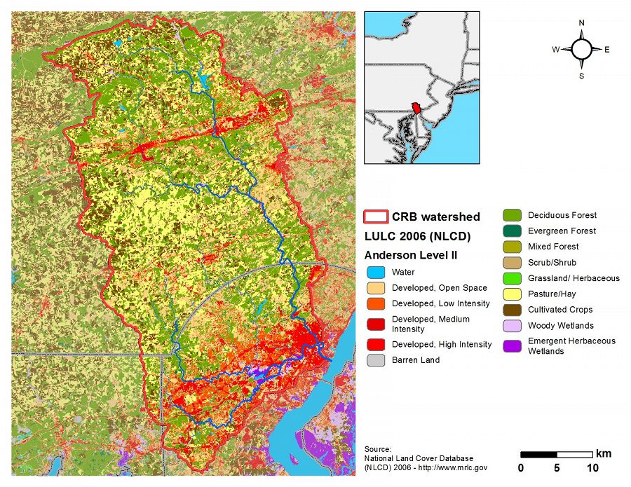
Christina River Basin Land Use/Land Cover
Christina River Basin Soils
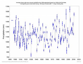
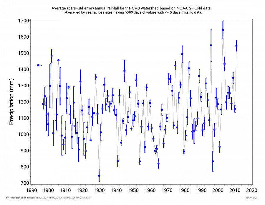
Average annual rainfall for Christina River Basin 1894-2011.
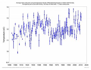
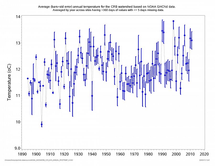
Average annual temperature for Christina River Basin 1894-2011.
x
x
x
-
Overview Maps
Map Overlays
-
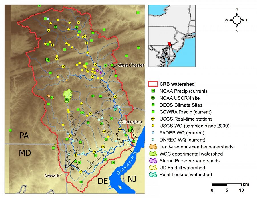
Active research sites with the Christina River Basin. Multiple federal, state and local agencies and numerous academic research groups have intensively studied the CRB for more than 50 years. Much of the real-time data is available on an interactive map-based visualization system at wikiwatershed-vs.org.
-
-
-
-

-
-
Dynamic Map
To fully zoom into a small area, you may need to visit the "Map" button and uncheck "Terrain" view.
-
Data
Chester County, PA - Stream Water Chemistry, Streamflow / Discharge, Climate, Stage, Stream Water Temperatures - USGS (2007-2015)
17 components • Christina River Basin • Climatology / Meteorology, Hydrology, Water Chemistry • USGS NWISChester County, PA - Stream Water Chemistry, Stream Ecology - USGS (1998-2013)
1 components • Christina River Basin • Biology / Ecology, Water Chemistry • USGS; Chester County Water Resources AuthorityChester County, PA - Groundwater Depth - USGS (1951-2015)
27 components • Christina River Basin • Hydrology • US Geological SurveyChristina River Basin - Air Temperature, Precipitation - NOAA NCDC (1920-2015)
4 components • Christina River Basin, Other Research Sites in CRB • Climatology / Meteorology • NOAA's National Climatic Data CenterChristina River Basin - Stream Suspended Sediment (1993-2012)
20 components • Boulton Run, Christina River Basin, Forest Endmember: Spring Brook, White Clay Creek @ SWRC, Construction Endmember: White Clay Creek below landfill, Lower White Clay Creek, Agricultural Endmember: South Branch Doe Run • Water Chemistry, Geomorphology, Biogeochemistry, Hydrology, Geochemistry / Mineralogy • Aufdenkampe, A.K.; Newbold, J.D.; Anderson, B. A.; Richardson, D.; Damiano, S.G.Christina River Basin - Stream Water Chemistry, Stream Suspended Sediment, Stream Water Temperatures, Groundwater Depth - USGS (1985-2007)
19 components • Christina River Basin • Water Chemistry, Hydrology, Geomorphology • US Geological SurveyChristina River Basin - Stream Water Temperatures (2007-2014)
8 components • Christina River Basin, Halfway Run, Mine Hill Run, Morris Run, White Clay Creek @ SWRC, Forest Endmember: Spring Brook, Riparian Buffer Experiment @ Stroud Preserve/Georgia Farm • Water Chemistry • Sweeney, B.; Funk, D.; Newbold, J. D.; Kaplan, L. A.; Damiano, S. G.; Kline, F.; West, H.Delaware and SE Pennsylvania - Climate, Air Temperature, Meteorology, Precipitation - DEOS (2004-2015)
1 components • Christina River Basin, Other Research Sites in CRB • Climatology / Meteorology, Hydrology, Water Chemistry • Delaware Environmental Observing System (DEOS)National - Climate, Flux Tower, Streamflow / Discharge - CUAHSI WDC web services (1968-2015)
7 components • Boulder Creek Watershed, Christina River Basin, Jemez River Basin, Santa Catalina Mountains, El Verde Field Station, Northeastern Puerto Rico and the Luquillo Mountains, Rio Blanco, Rio Mameyes, Susquehanna Shale Hills Critical Zone Observatory, Providence Creek Headwater Catchments (1660 - 2115 m elevation), Wolverton Basin (2230 - 2700 m elevation), Other instrumented sites • Climatology / Meteorology, Hydrology, Soil Science / Pedology • Boulder Creek Critical Zone Observatory; Catalina-Jemez Critical Zone Observatory; Luquillo Critical Zone Observatory; Shale Hills Critical Zone Observatory; Southern Sierra Critical Zone Observatory; Christina River Basin Critical Zone ObservatoryPA Avondale 2N - Climate, Air Temperature, Meteorology, Precipitation - NOAA CRN (2006-2015)
19 components • Christina River Basin, White Clay Creek @ SWRC • Climatology / Meteorology, Hydrology • NOAA Climate Reference Network (CRN)PA Avondale 2N - Soil Moisture, Soil Temperature - NOAA CRN (2011-2015)
5 components • Christina River Basin, White Clay Creek @ SWRC • Hydrology, Climatology / Meteorology, Soil Science / Pedology • NOAA Climate Reference Network (CRN)White Clay Creek - Stage, Streamflow / Discharge (1968-2014)
55 components • White Clay Creek @ SWRC, Christina River Basin • Hydrology • Stroud Water Research CenterWhite Clay Creek - Well Water Levels (1988-2012)
5 components • White Clay Creek @ SWRC, Christina River Basin • Hydrology • Stroud Water Research Center -
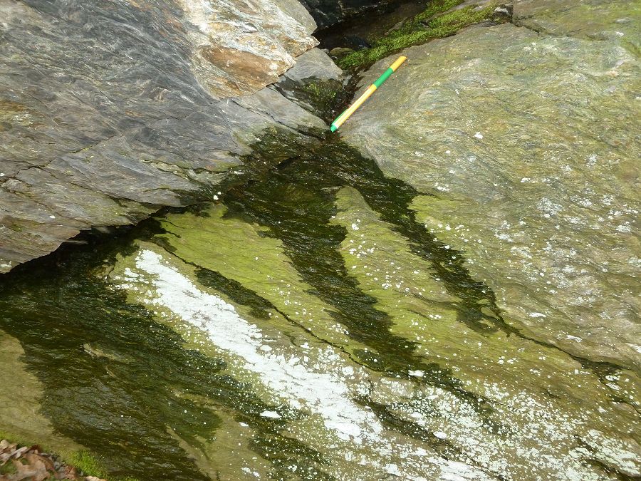
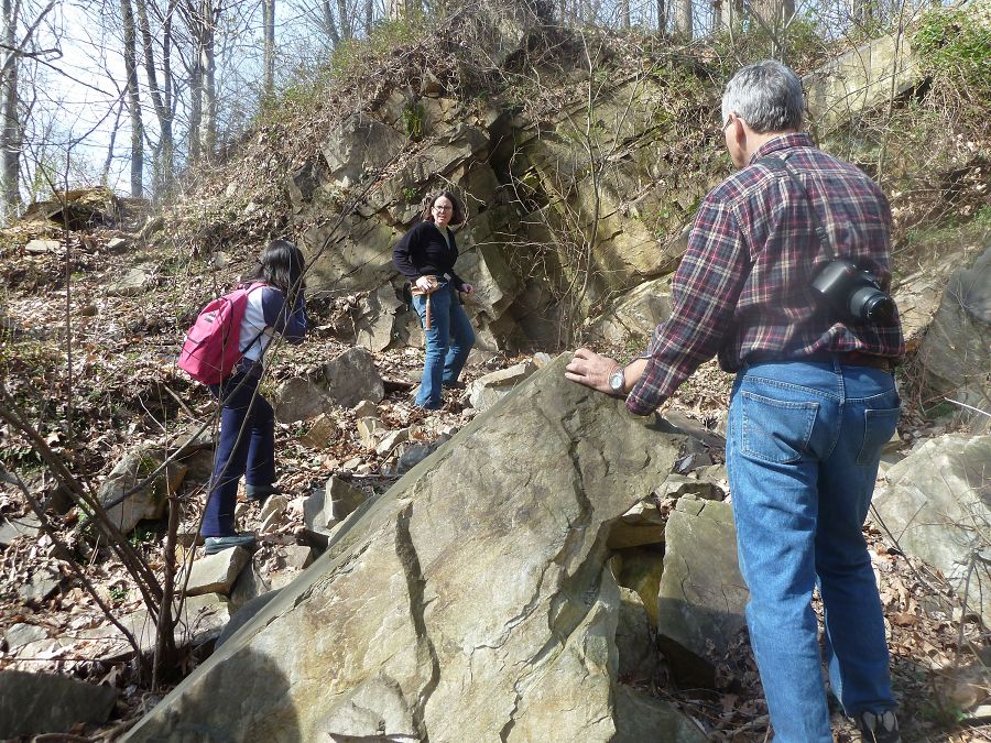
Photos
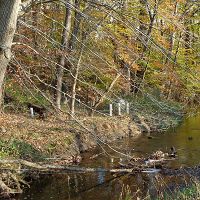
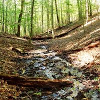
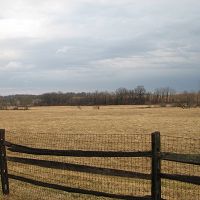
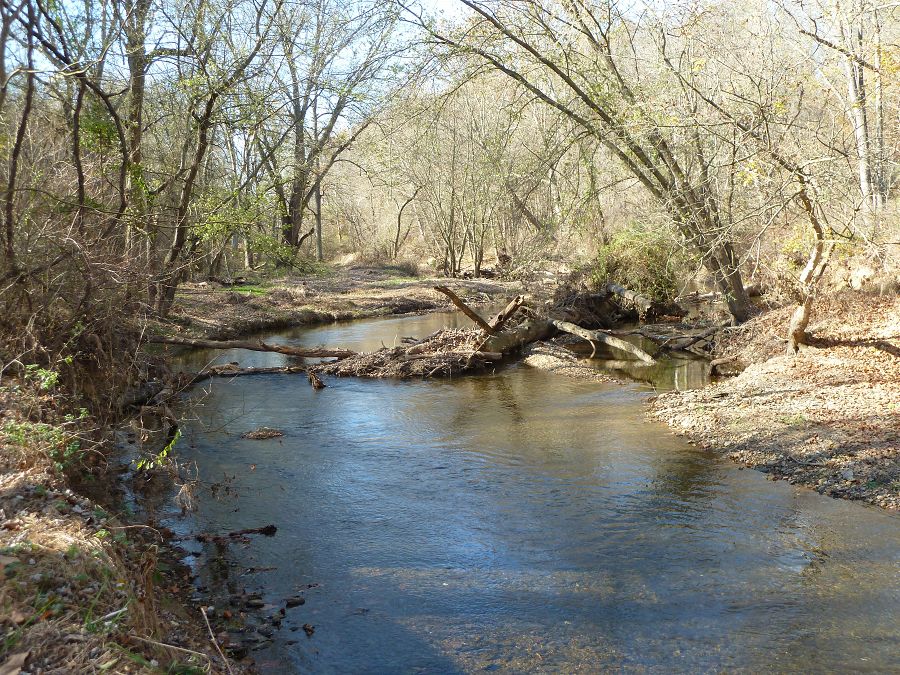
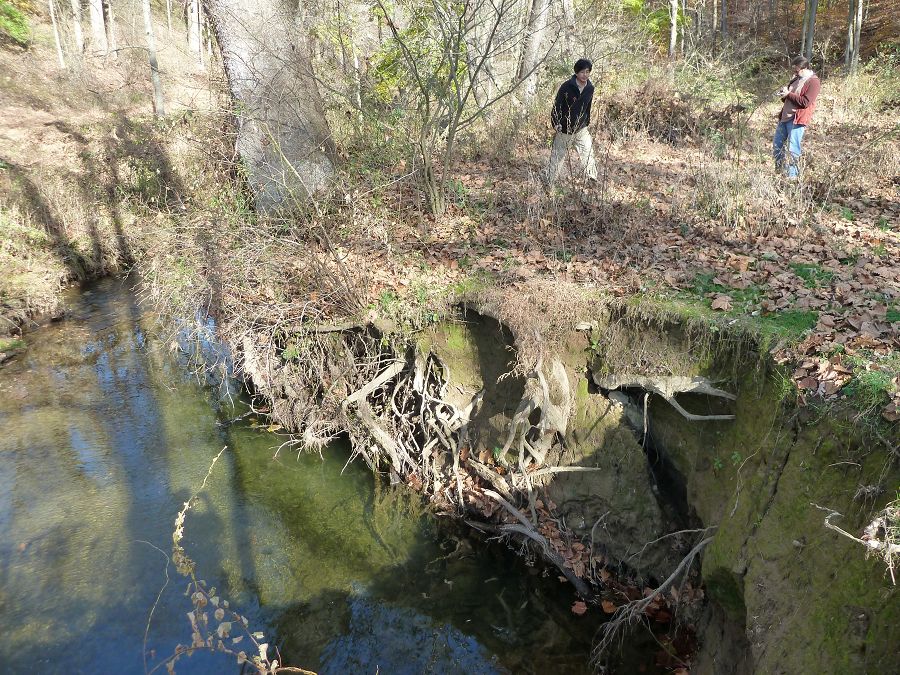
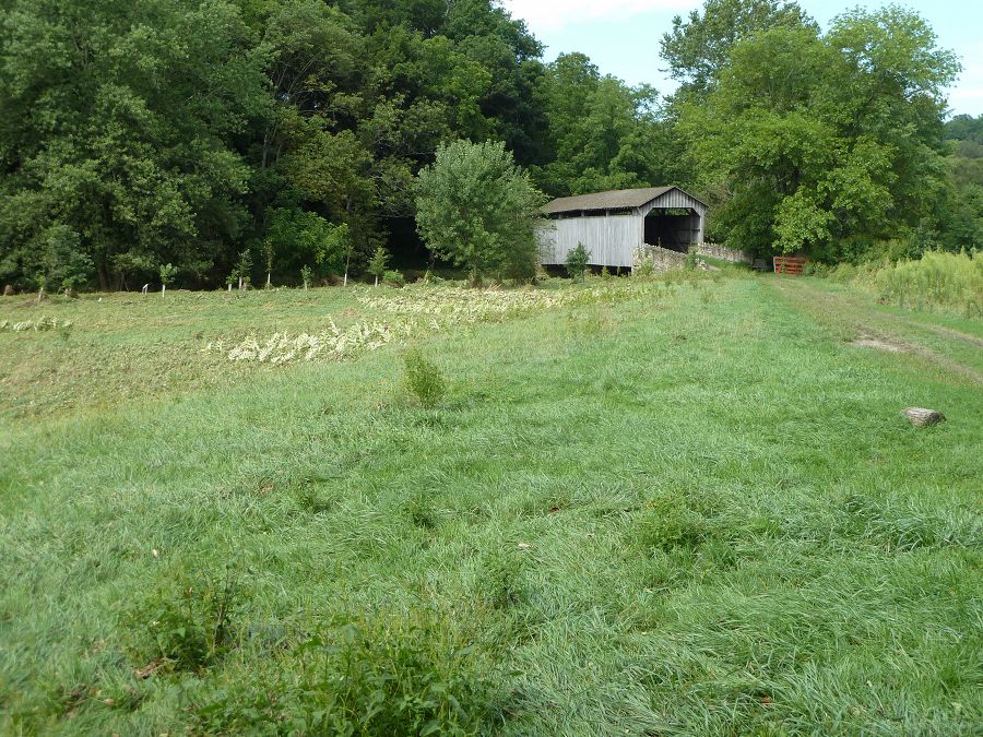
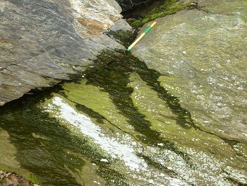
CRB-CZO Christina Basin field area

#1

#2

#3

#4

#5

#6

#7

#8
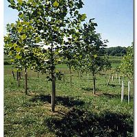
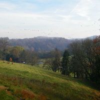
This is the parent field area for the CRB-CZO.
-
Partner Organizations
-
Associated Files
Blackmer Bedrock Map, Coatesville 2004
(4 MB pdf)
Bedrock Geologic Map of the Coatesville Quadrangle, Chester County, PennsylvaniaBlackmer Bedrock Map, Wilmington 2005
(4 MB pdf)
Preliminary Bedrock Geologic Map of a Portion of the Wilmington 30- by 60-Minute Quadrangel, Southeastern Pennsylvania


-
Geology
- metasediments

Christina River Basin Geology Overview
-
Topography
-0.75 - 329 m elevation (112 m mean)
Elevation data are based on 10m DEM data from USGS National Elevation Data.
-
Climate
12 °C Mean Annual Temp 1145 mm Mean Annual Precipitation There is an exceptionally long climate record for the Christina River Basin. Our figures are based on 115 years of NOAA data back to 1894 with at least one station per year having at least 360 days of non-missing records in the given year.
Average annual rainfall for Christina River Basin 1894-2011.
Average annual temperature for Christina River Basin 1894-2011.
-
Soil
- Alfisol
- Entisol
- Histosol
- Inceptisol
- Ultisol
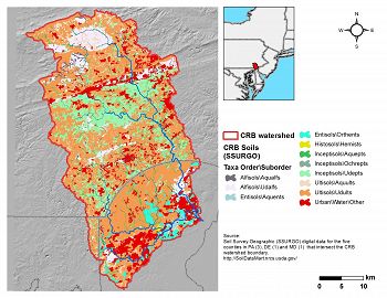
Christina River Basin Soils
Derived from diverse metasedimentary parent materials, the soils in the unglaciated Christina River basin range from Entisols to Ultisols to Histosols. Topography is often a deciding factor on the degree of soil development in uplands.
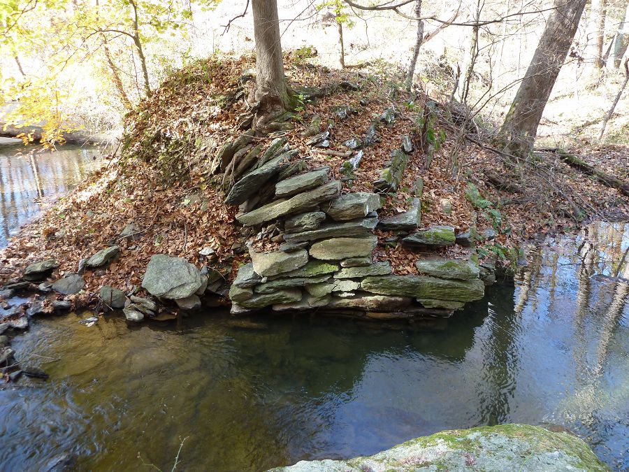
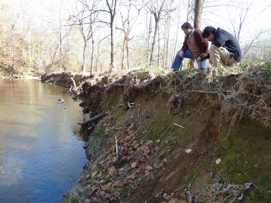
Nearly all stream valleys are filled with 1-3+ m of sediment that we currently consider as eroded and deposited during intensive colonial deforestation, agriculture and mill damming.
-
Human Impacts
- agricultural land
- forest land
- rangeland
- urban or built-up land
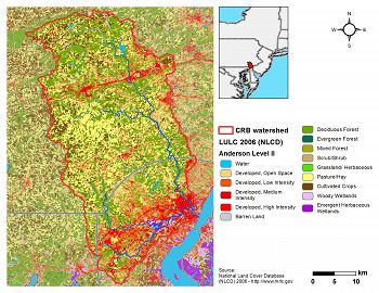
Christina River Basin Land Use/Land Cover
The Christina River Basin transitions from Piedmont into Atlantic Coastal Plain, the two most populated physiographic provinces in America. The human footprint within the region spans centuries and current land covers include mature forest, agriculture, suburbia, urban, commercial and industrial, providing an ideal natural laboratory to study the gradient of human impacts on critical zone processes.
A diverse lithology—ranging from micaceous schist and gneiss to quartzite to marble—is overlaid by deep, unglaciatied soils of diverse chemical and physical characteristics—from Entisols to Ultisols to Histosols. Nearly all stream valleys are filled with 1-3+ m of “Legacy Sediment” eroded and deposited during intensive colonial deforestation, agriculture and mill damming. White Clay Creek is the only entire watershed designated within the Wild and Scenic Rivers System.
Land use/cover data from the National Land Cover Dataset for 2006.
Land Use/ Land Cover Types (Level II) Category LULCID % Open Water 11 0.5 Developed, Open Space 21 18.7 Developed, Low Intensity 22 8.0 Developed, Medium Intensity 23 4.5 Developed, High Intensity 24 1.8 Barren Land (Rock/Sand/Clay) 31 0.1 Deciduous Forest 41 27.7 Evergreen Forest 42 0.6 Mixed Forest 43 0.9 Shrub/Scrub 52 5.4 Grassland/Herbaceous 71 0.3 Pasture/Hay 81 19.0 Cultivated Crops 82 10.1 Woody Wetlands 90 2.1 Emergent Herbaceous Wetlands 95 0.4 Land Use/ Land Cover Types (Level I) Category % Open Water 0.5 Developed, Open Space 18.7 Developed 14.2 Barren Land 0.1 Forest 29.2 Shrub/Scrub 5.4 Grassland/Herbaceous 0.3 Agriculture 29.1 Wetlands 2.6


Explore Further
