INFRASTRUCTURE

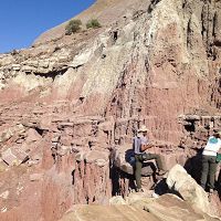
The USDA ARS Northwest Watershed Research Center's Reynolds Creek Experimental Watershed (RCEW) is the location for the Reynolds Creek CZO, located in the Owyhee Mountain Range southwest Idaho. The RC CZO is unique among current CZO’s in that it is a partnership between the NSF-funded CZO and the USDA ARS-funded Northwest Watershed Research Center that operates the RCEW.
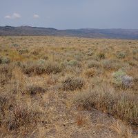
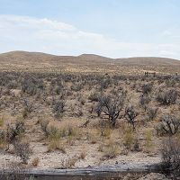
Existing infrastructure within the USDA ARS NWRC's Reynolds Creek Experimental Watershed -home of the NSF- and USDA ARS NWRC-funded RC CZO
Existing Infrastructure
Partnership between NSF-funded CZO Program and the USDA ARS-funded Northwest Watershed Research Center

Northwest Watershed Research Center
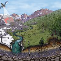
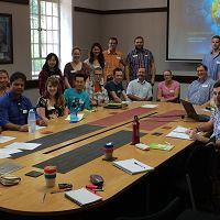
The RC CZO is unique among current CZO’s in that it is a partnership between the NSF-funded CZO and the USDA ARS-funded Northwest Watershed Research Center that operates Reynolds Creek Experimental Watershed (RCEW). The RC CZO is entirely co-located with the RCEW and virtually all CZO work is directly linked to the ARS NWRC research programs, existing infrastructure and personnel that service and maintain RCEW. This arrangement is mutually beneficial. The CZO benefits from integration with past and present ARS data, research and scientific expertise supplied by ARS personnel as well as logistic and infrastructure support. The ARS benefits from an infusion of NSF-funded research, elevated exposure to the larger community and opportunities to address broader scientific issues. Our data policy reflects this partnership status
Future Infrastructure
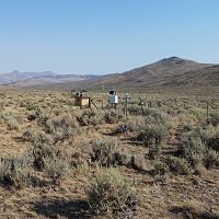
We are currently in the process of selecting our CORE study sites within the Reynolds Creek Experimental Watershed (RCEW).
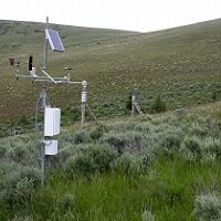
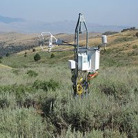
Potential CORE sites to include eddy covariance towers, net primary productivity, soil respiration and soil carbon dynamic measurements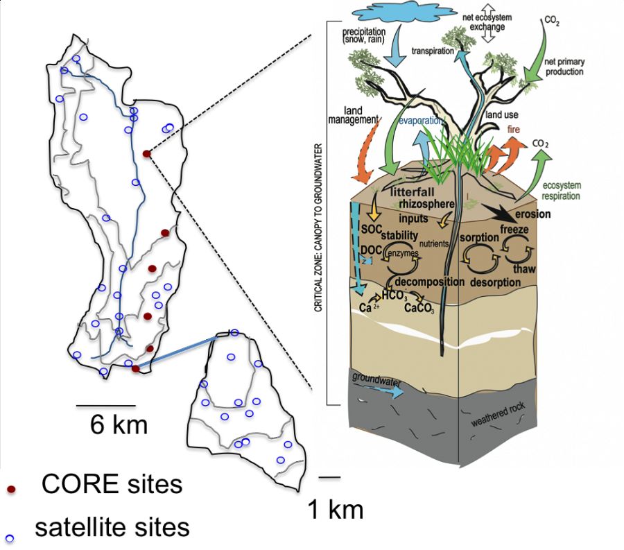
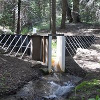
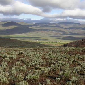
The Reynolds CZO is located in the USDA Agricultural Research Service (ARS) Reynolds Creek Experimental Watershed (RCEW). The USDA ARS established RCEW in 1960 to conduct long-term research in the areas of water supply, seasonal snow, soil freezing, water quality and rangeland hydrology.
Potential CORE sites to include eddy covariance towers, net primary productivity, soil respiration and soil carbon dynamic measurements
Northwest Watershed Research Center
Infrastructure News
FEATURED
CZ colleagues: Please contact us about proposals for NSF’s CZ Collaborative Network, due 02 Dec 2019
08 Jul 2019 - CZO will end Nov 2020, succeeded by the “CZ Collaborative Network”. Let’s explore how the CZ community can build upon the CZOs via new NSF proposals.
Water Resources Research Special Collection: Concentration-discharge relations in the critical zone
30 Oct 2017 - Water Resources Research published a new special collection in September 2017 featuring concentration-discharge research from multiple CZOs.
2017 CZO Webinar Series: Critical Zone and Society
06 Apr 2017 - 2017 CZO Webinar Series: Critical Zone and Society.
Critical Zone Q&A with researcher Adrian Harpold
19 Oct 2016 - University of Nevada Reno's Adrian Harpold reflects on his past and present time researching at Critical Zone Observatories.
EOS: Taking the Pulse of the Earth’s Surface Systems
04 Dec 2015 - Taking the Pulse of the Earth's Surface Systems In September of 2014, Laurel Larsen (UC Berkley), Elizabeth Hajek (Penn State), and others...
Video: CZ graduate students reflect on experience at University of Western Australia Summer School
13 May 2015 - Students from around the Worldwide Universities Network (WUN) gathered in Perth for two weeks in Feb. 2015 for the Inaugural WUN Summer School.
Field Areas:
Reynolds Creek Experimental Watershed
239 km2,
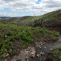
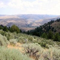
The Reynolds Creek CZO is located in the Reynolds Creek Experimental Watershed (RCEW) in the Owyhee Range in southwest Idaho. RCEW is 239 square km and encompasses a wide range of environments typical to the intermountain region of the western USA.
Murphy Creek
1.29 km2,
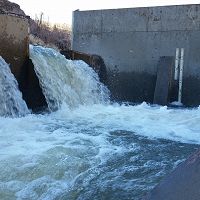
Tollgate Weir
Upper Sheep Creek
0.26 km2,
Johnston Draw
1.83 km2,
Mountain Big Sage
0.389 km2,
Lower Sheep Creek (Lower Sage)
0.131 km2,
Wyoming Big Sage
0.012 km2,
Flats
Explore Further
