INFRASTRUCTURE
The Eel River CZO is largely based in the Eel River watershed in Northern California and is composed of nested components, increasing in scale from an intensively instrumented hillslope to a region encompassing the Eel watershed.
The observatory component leverages the development and use of past infrastructure investments and historical research insights.
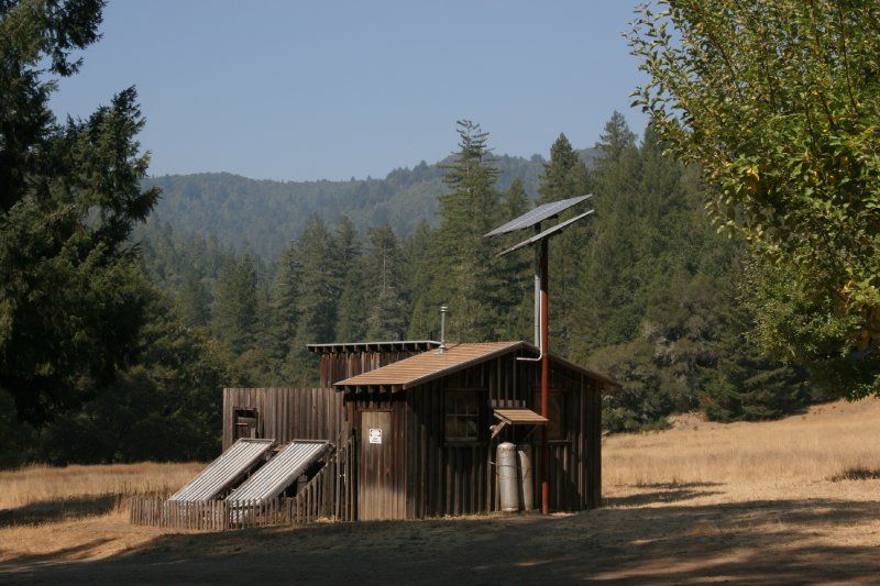
Fox creek lodge facitlities.
Infrastructure News
FEATURED
CZ colleagues: Please contact us about proposals for NSF’s CZ Collaborative Network, due 02 Dec 2019
08 Jul 2019 - CZO will end Nov 2020, succeeded by the “CZ Collaborative Network”. Let’s explore how the CZ community can build upon the CZOs via new NSF proposals.
FEATURED
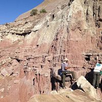
Reserve Preserved: Lodge Lightning Complex Wildfire Contained
25 Aug 2014 - Angelo Reserve, Eel River CZO's primary field site, partially burned by Lodge Lighting Complex fire.
Water Resources Research Special Collection: Concentration-discharge relations in the critical zone
30 Oct 2017 - Water Resources Research published a new special collection in September 2017 featuring concentration-discharge research from multiple CZOs.
2017 CZO Webinar Series: Critical Zone and Society
06 Apr 2017 - 2017 CZO Webinar Series: Critical Zone and Society.
EOS: Taking the Pulse of the Earth’s Surface Systems
04 Dec 2015 - Taking the Pulse of the Earth's Surface Systems In September of 2014, Laurel Larsen (UC Berkley), Elizabeth Hajek (Penn State), and others...
Using a CZO network to explore the architecture, dynamics and evolution of the Critical Zone
03 Nov 2014 - The US CZO National Office has organized a webinar on December 8, 2014 at 11AM - 12:30 PM ET.
2014 CZOData Cyber-Seminar Spring Series
06 Mar 2014 - Presentations describing the Integrated CZO Data system and how to use it; for interested CZO investigators, students & staff.
Field Areas:
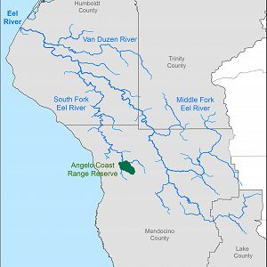
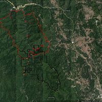
Eel River Watershed
9540.0 km2, 0-2464 m elevation,
The Eel River Watershed (9,540 km2) is a steep mostly undammed Northern California coastal river eroding rapidly through mechanically weak rock with active uplift. Both watershed-climate-ocean productivity investigations and education & outreach have occurred here (supported by prior NSF funds and in collaboration with Friends of the Eel River and the Eel River Recovery Project).
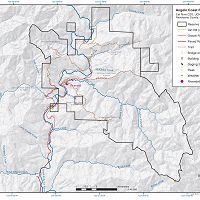
Angelo Coast Range Reserve
31 km2, 120-1260 m elevation, 10.1 °C,
Sagehorn-Russell Ranch
21 km2, 460-980 m elevation,
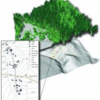
Rivendell
0.004 km2, 400-470 m elevation,
Explore Further
