ARCHIVED CONTENT: In December 2020, the CZO program was succeeded by the Critical Zone Collaborative Network (CZ Net)
×
Johnston Draw
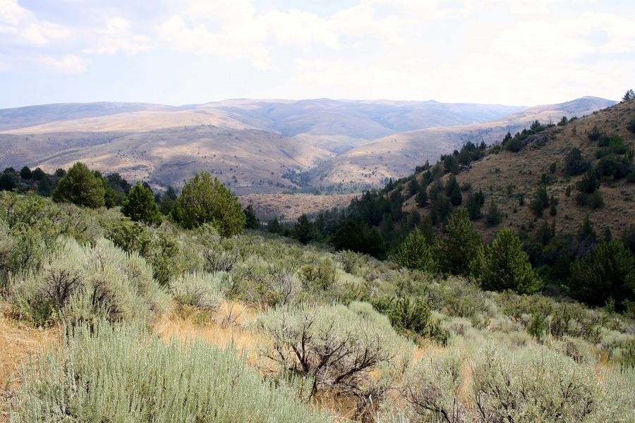
Johnston Draw sub watershed is extensively monitored, spanning the elevation and precipitation gradients associated with the rain-snow transition zone. Instrumentation there collects atmospheric, climatic, soil, and water chemistry measurements.
1.83 km2 Area
Parent Field Area:
Reynolds Creek Experimental Watershed ▲
Johnston Draw
Explore Further
