ARCHIVED CONTENT: In December 2020, the CZO program was succeeded by the Critical Zone Collaborative Network (CZ Net)
×
Tollgate Weir
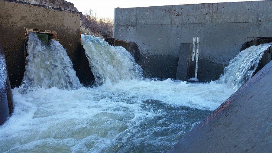
Tollgate Weir is the second largest installed on the Reynolds Creek watershed and has been collecting discharge and sediment data continuously since 1966.
Parent Field Area:
Reynolds Creek Experimental Watershed ▲
Tollgate Weir
Explore Further
