Sensors & Field Instruments
Multiple sites within the CZO are instrumented with eddy flux towers, meteorological stations, subsurface sensor and sampler arrays, and stream flumes in order to enable real-time quantification of energy, water, carbon and lithogenic element fluxes.
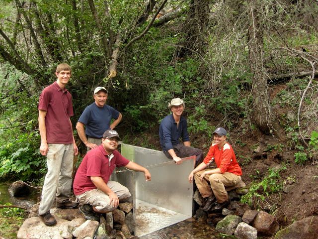
Stream flume installation in the Valles Caldera National Preserve.
To measure climatic forcing and Critical Zone (CZ) response simultaneously requires a sensor array that quantifies matter and energy flux into the open CZ system, in addition to internal fluxes and releases. Collection of the requisite data set - and establishment of correlations within it - involves designing an observatory whose infrastructure is tightly coordinated across team members focusing on EHP, SSB, SWD and LSE.
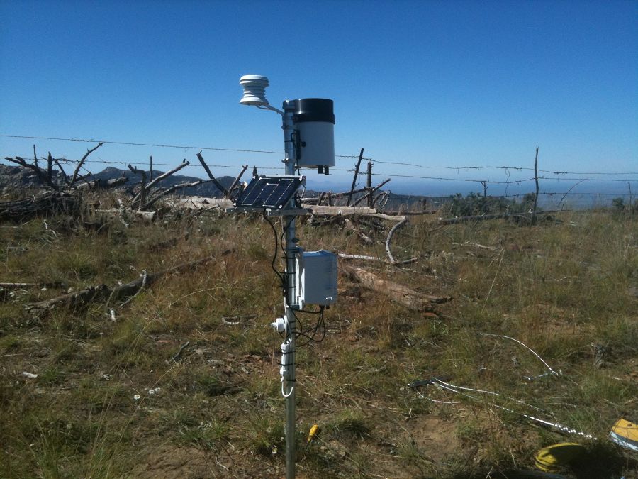
The Catalina-Jemez CZO uses eddy co-variance to quantify water and carbon fluxes across the upper CZ boundary. Eddy flux towers are installed and operated in mixed conifer and ponderosa pine forest in the Jemez (MC and PP towers in VCNP) and in mixed conifer forest in the Catalina (Bigelow Tower). These towers provide continuous measurements of precipitation, evapotranspiration, radiation, temperature, and net ecosystem exchange (NEE) across the surface denoted by the tower footprint.
Internal matter and energy processing within the CZ is measured using an array of sensors and samplers including: sap flow sensors, ground level meteorological instrumentation, soil moisture, soil water potential, and soil temperature probes, piezometers, and vadose and saturated zone pore water and gas samplers. These sensors and samplers are located nearby the eddy flux towers, and nested within small headwater catchments that we call “Zero Order Basins” or “ZOBs”, wherein water, solute and sediment mass balance relations are being established. Catchment water, solute and sediment fluxes are measured continuously or incrementally across the set of distributed catchment flumes, gages and weirs installed throughout the Jemez and Catalina.
In addition, internal CZ components (biomass, soil, bedrock, water) are collected within and beyond the instrumented ZOBs to conduct tests of hypotheses regarding controls over CZ compositional change (e.g., vegetation structure, weathering profiles, hillslope shape). To obtain those data we sample across transects in space and time that we postulate are CZ structure-controlling.
Oracle Ridge met satation, Santa Catalina Mt.
Explore Further
