Geology paper about Boulder flood on release picked up by the press.
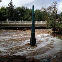
The Boulder Creek CZO and coauthors are highlighted in recent articles for their analysis of flooding and debris flows from the historic 2013 Boulder floods using LiDAR and radioactive soil dating techniques.
Phys.org LiDAR studies of the Sept. 2013 Colorado Front Range flooding and debris flows
Wired Lasers Map the Earth That Moved in Colorado’s Epic Floods
The Geology paper biblio Exhumation by debris flows in the 2013 Colorado Front Range storm
News Category:
RESEARCH |
DATA |
PUBLICATIONS |
PEOPLE |
EDUCATION/OUTREACH
People Involved
CZO
-

Boulder, INVESTIGATOR
-

Boulder, INVESTIGATOR
-

Boulder, GRAD STUDENT
Publications
2015
Exhumation by debris flows in the 2013 Colorado Front Range storm. Anderson, S.W., Anderson, S. P., and Anderson, R. S. (2015): Geology, Geological Society of America
Discipline Tags and CZOs
Geomorphology
Geology / Chronology
GIS / Remote Sensing
Hydrology
National
Boulder
Related News
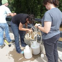
Boulder Creek CZO collecting samples after the flood
19 Sep 2013 - On Monday September 16 2013 Rachel Gabor assembles a small crew to take samples on Boulder creek.
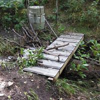
Boulder Creek CZO assessing flood in Upper Gordon Gulch
18 Sep 2013 - Assessing Gordon Gulch continues
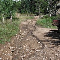
Boulder Creek CZO assessing flood in Lower Gordon Gulch
18 Sep 2013 - BcCZOII member, Nate Rock, was able to access Lower Gordon Gulch via Golden Gate on 17 September 2013 only to find that the GGL gauge had been...
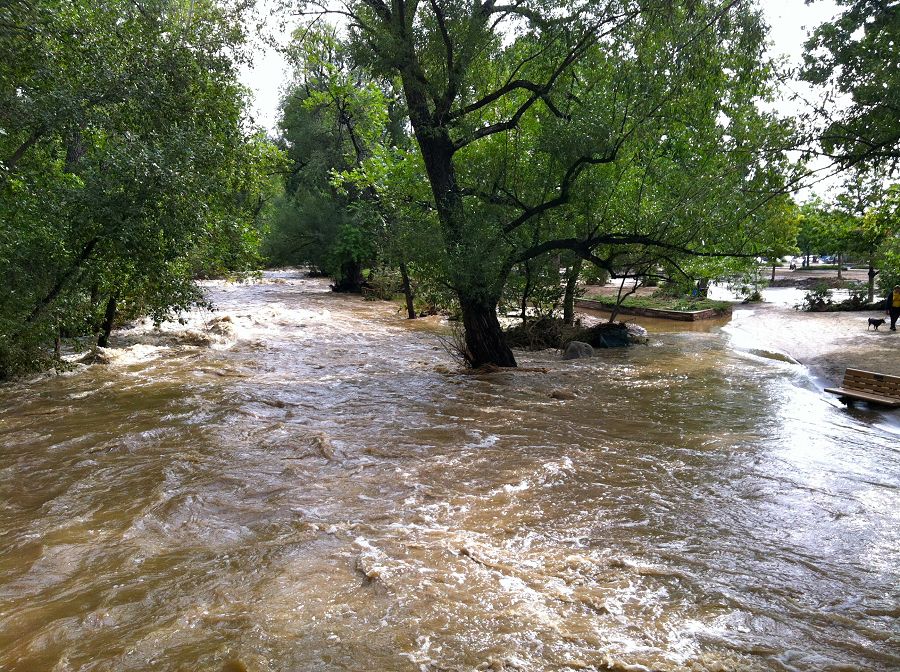
Boulder Creek CZO responds to record-breaking Colorado rainfall and flooding
13 Sep 2013 - Investigators and staff rush into action to collect samples and observe impacts
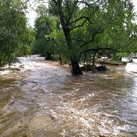
The Colorado Storm and Flood of 2013
25 Oct 2013 - Persistent, heavy rains in the Colorado Front Range broke several rainfall records and led to catastrophic flooding and geomorphic activity.
Explore Further
