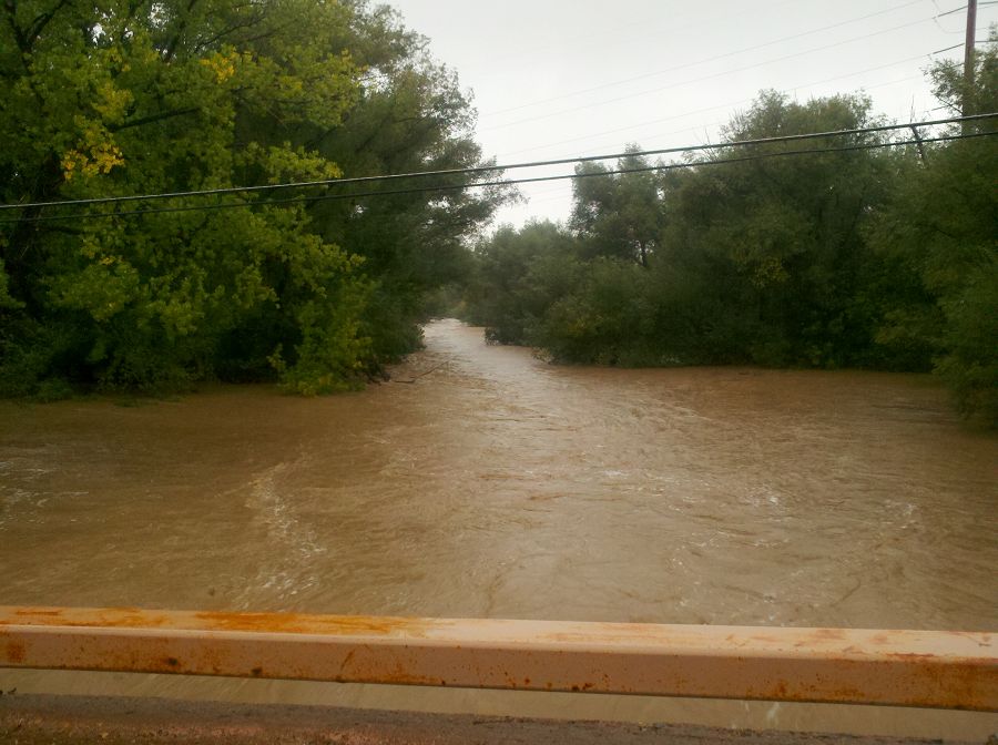
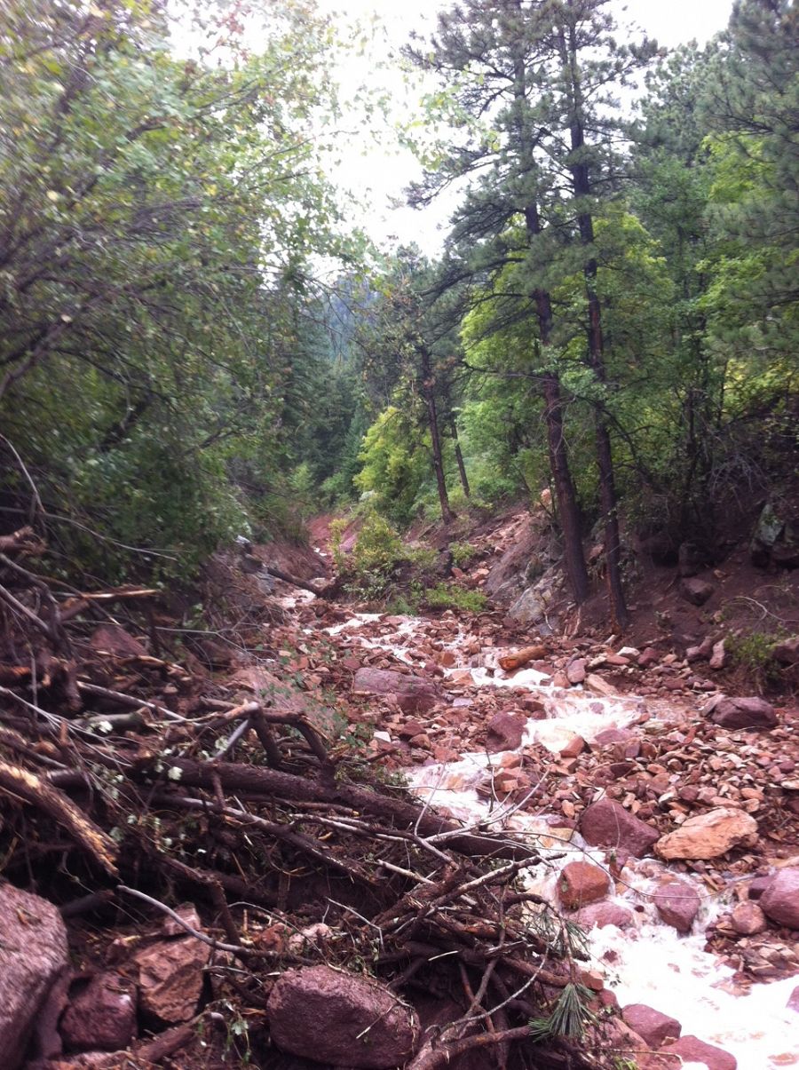
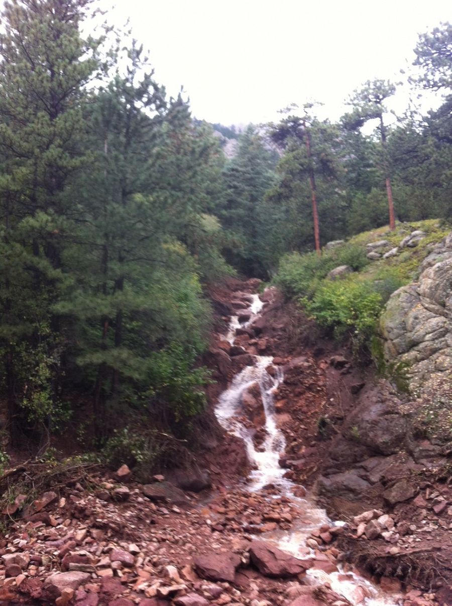
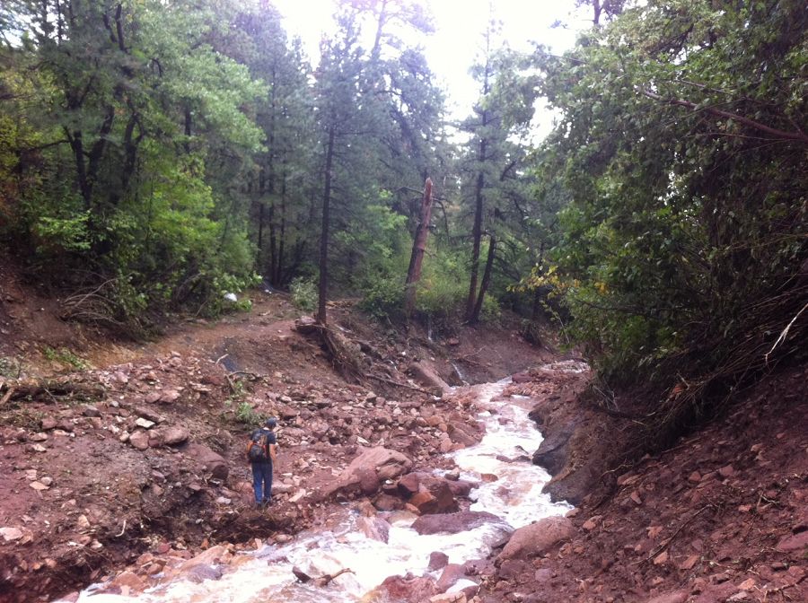
Boulder Creek CZO assessing flood in Upper Gordon Gulch
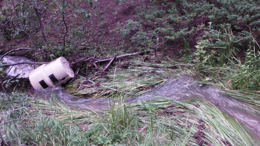
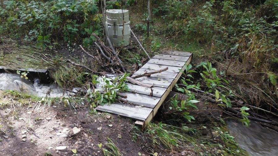
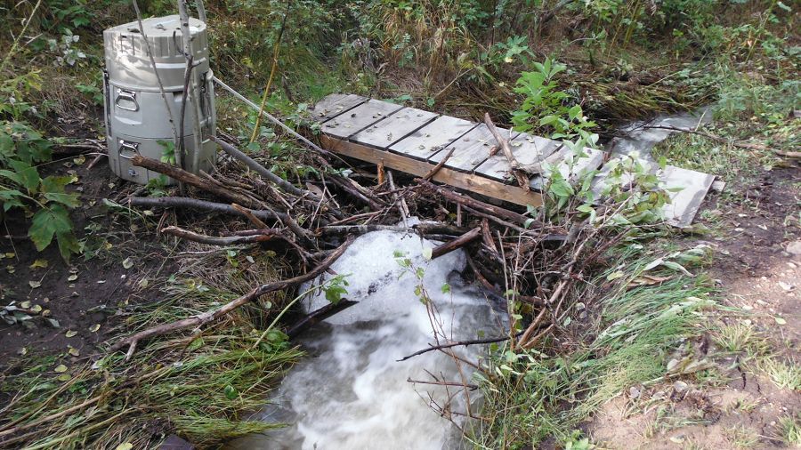
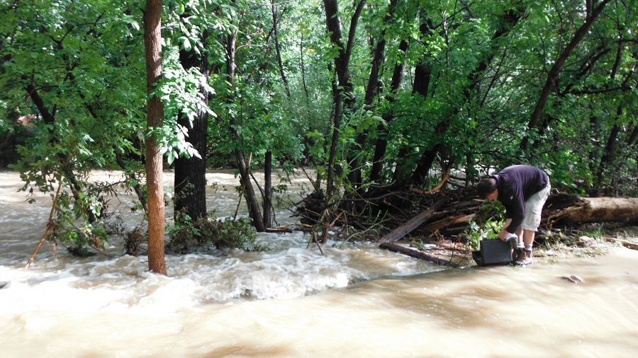
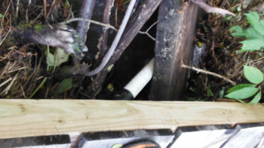
ISCO washed 15 m downstream
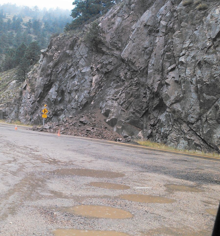
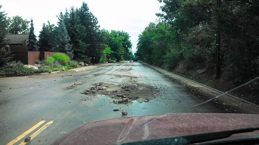
Nate was able to come back down Sunshine Canyon and he saw no signage indicating closed roads or roadblocks. However, he did note that local officials were checking IDs on the way up the canyon. The road up was not as heavily potholed and some repair has occurred but it is down to one lane in a few spots.
ISCO washed 15 m downstream
News Category:
RESEARCH |
INFRASTRUCTURE
Photos
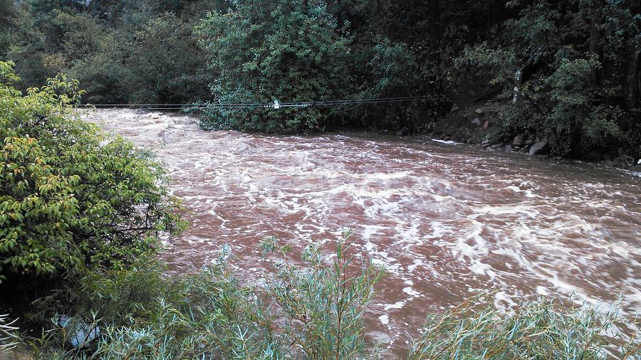
Boulder creek catastrophic flooding

Failure at about Forest St. from North Boulder Park (photo credit: Suzanne Anderson)
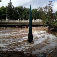
The Gilbert White Memorial Flood marker (top of the black base is the 50 year flood level). (photo credit: Suzanne Anderson)
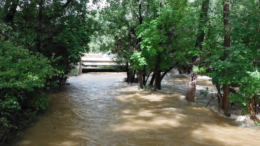
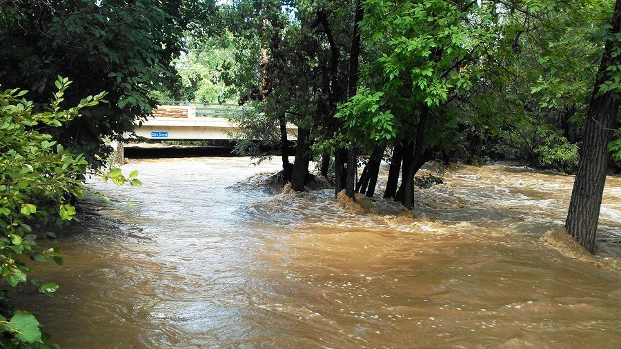
Pictures of the flow upstream and downstream of the bridge and the flooding on 75th east of the walden ponds. (photo credit: Harihar Rajaram)
Pictures of the flow upstream and downstream of the bridge and the flooding on 75th east of the walden ponds. (photo credit: Harihar Rajaram)
Pictures of the flow upstream and downstream of the bridge and the flooding on 75th east of the walden ponds. (photo credit: Harihar Rajaram)
Photos taken on a trail run this morning - base of Flatiron 1, above Chatauqua. Photo Noah Fierer
Photos taken on a trail run this morning - base of Flatiron 1, above Chatauqua. Photo Noah Fierer
Photos taken on a trail run this morning - base of Flatiron 1, above Chatauqua. Photo Noah Fierer
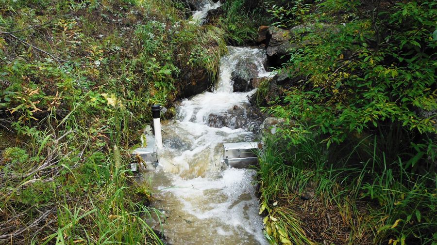
Stream gauge at Lower Gordon Gulch. Photo nate Rock
Stream gauge at Lower Gordon Gulch. Photo nate Rock
Stream gauge at Lower Gordon Gulch. Photo nate Rock
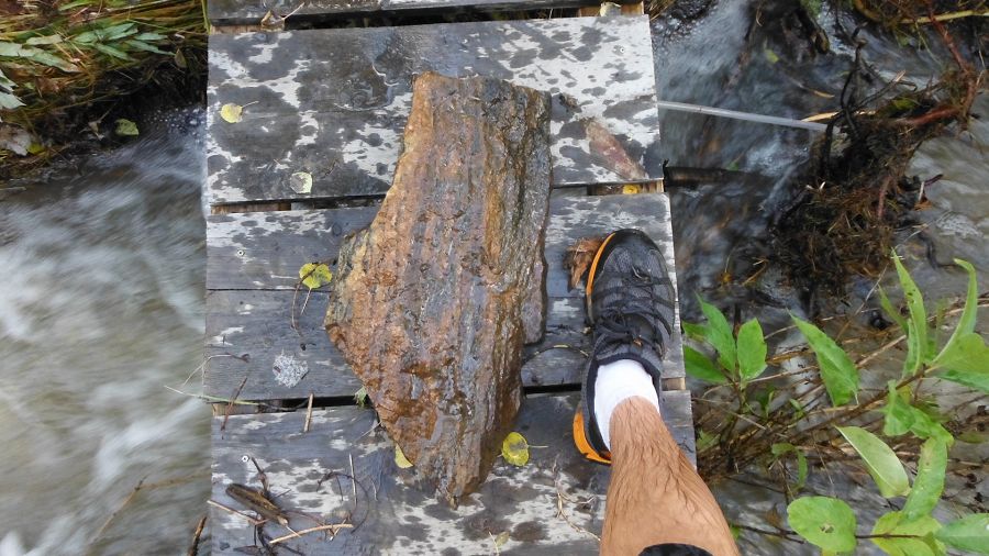
Large rock removed out of the debris stuck under the bridge! Photo nate Rock
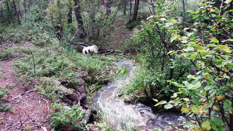
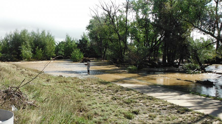
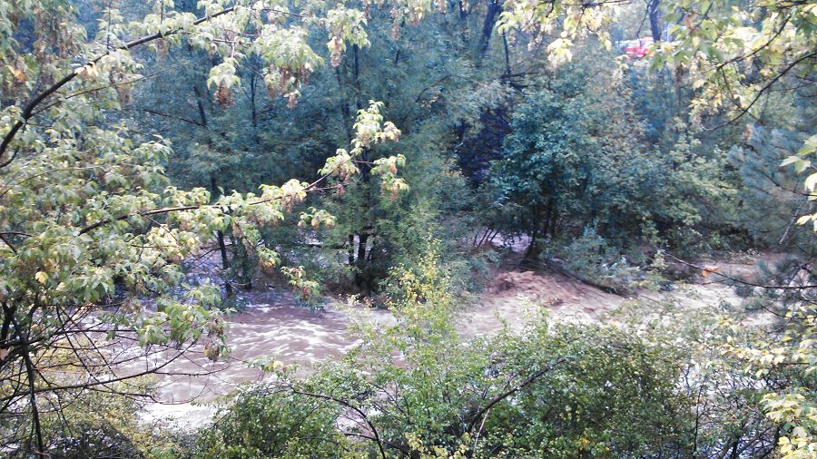
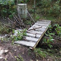
Post storm at Upper Gordon ISCO washed 15 m Upper Gordon Gulch. Photo Nate Rock
Post storm at Upper Gordon ISCO washed 15 m Upper Gordon Gulch. Photo Nate Rock
Post storm at Upper Gordon Gulch Stream Gauge
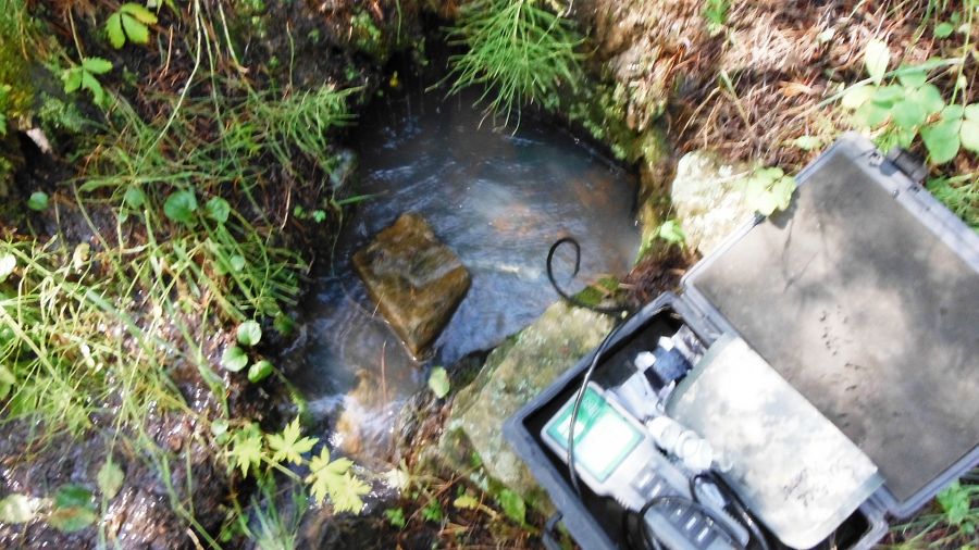
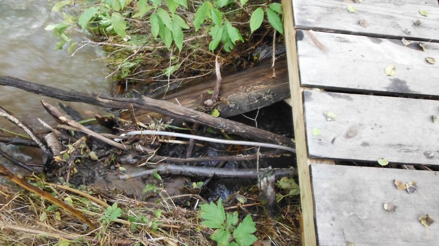
Sampling at Upper Gordon Gulch post storm (Need caption)
Upper Gordon post storm (Need caption)
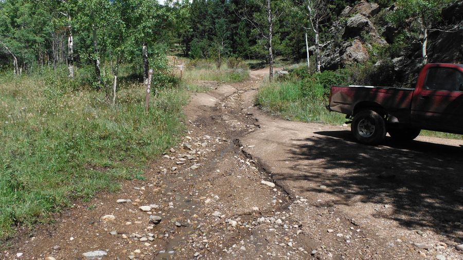
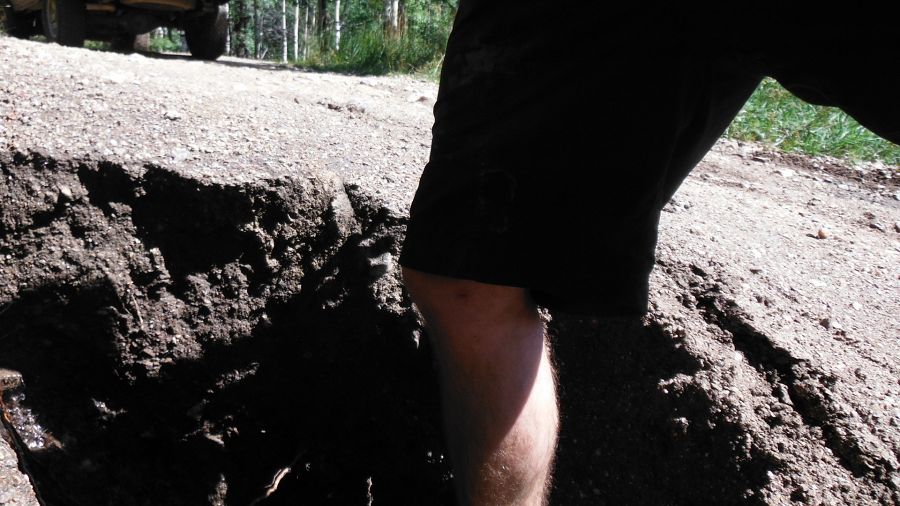
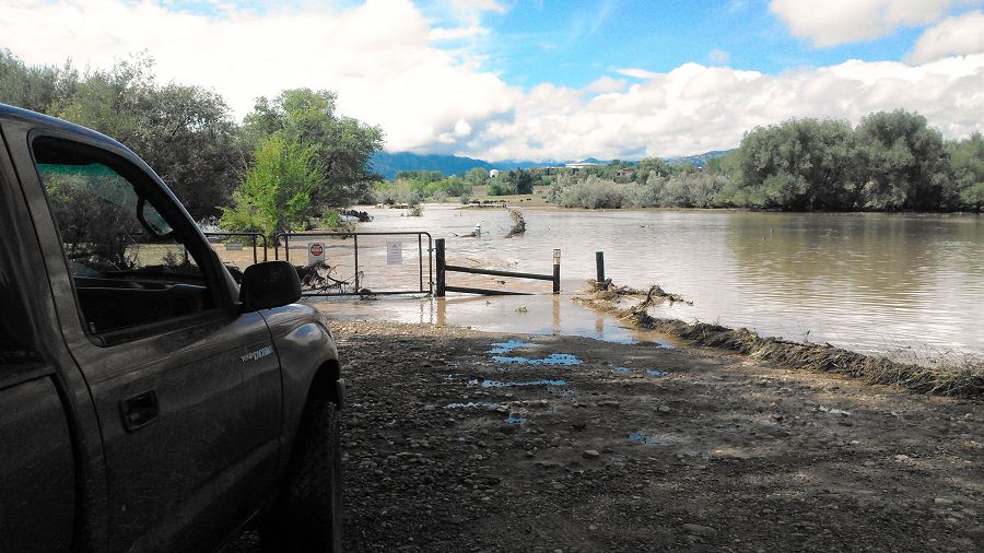
Erosion on the road at Upper Gordon Gulch
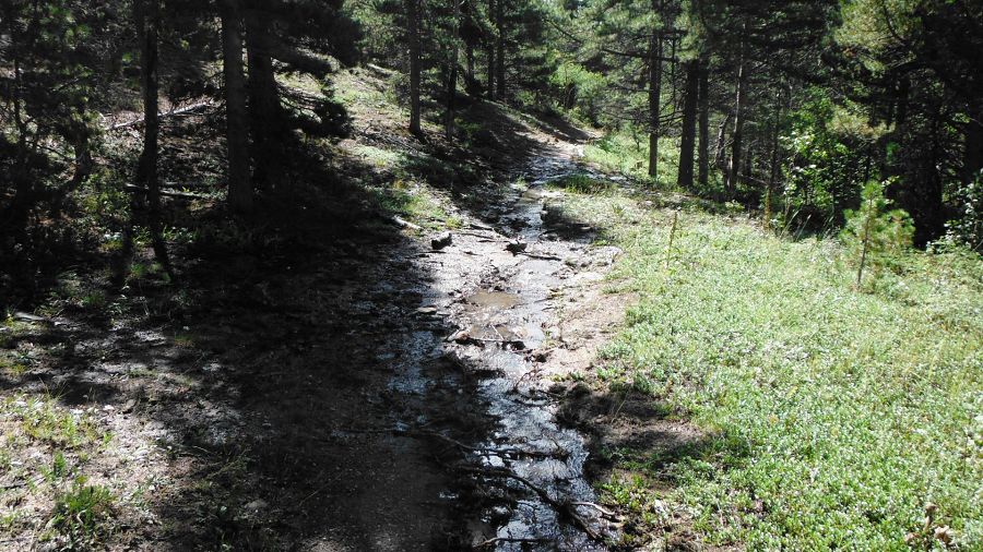
Water flowing at Upper Gordon Gulch
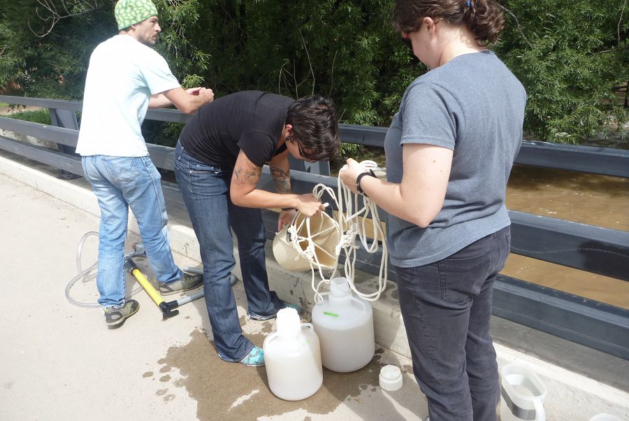
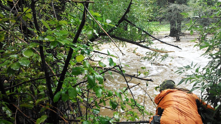
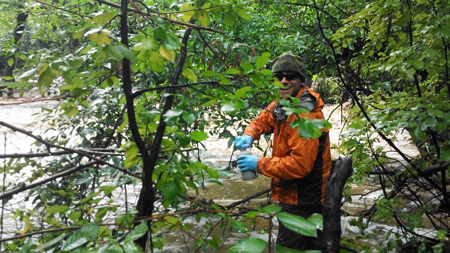
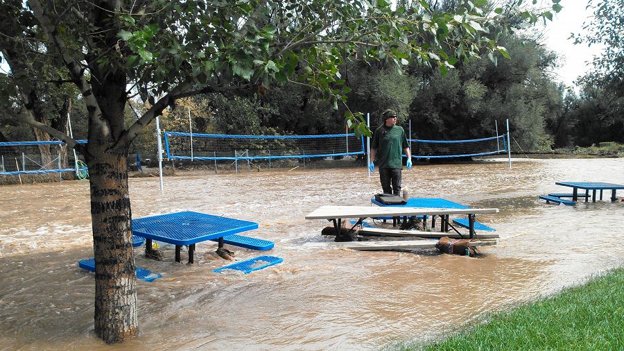
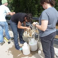
Rachel Gabor, Aneliya Sakaeva, and Chris Jaros helped collect samples of floodwater from Boulder Creek, Monday Sptember 16 2013
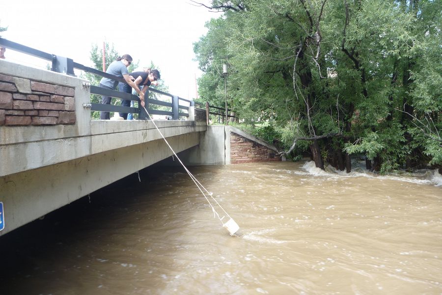
Sampling the Boulder Creek floodwater on Monday Sptember 16 2013 with a bucket method

Sampling the Boulder Creek floodwater on Monday Sptember 16 2013
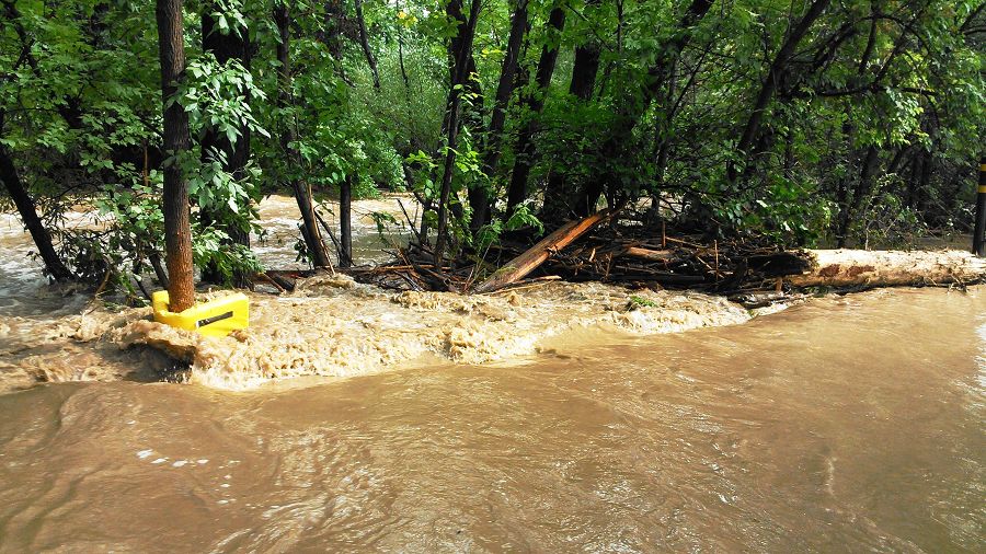
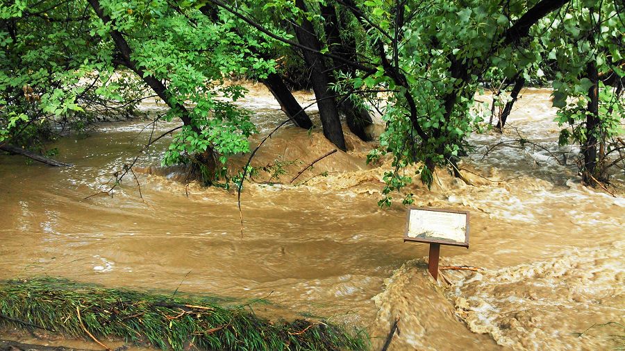
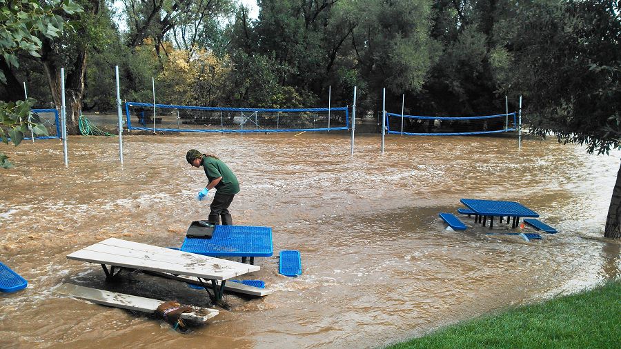
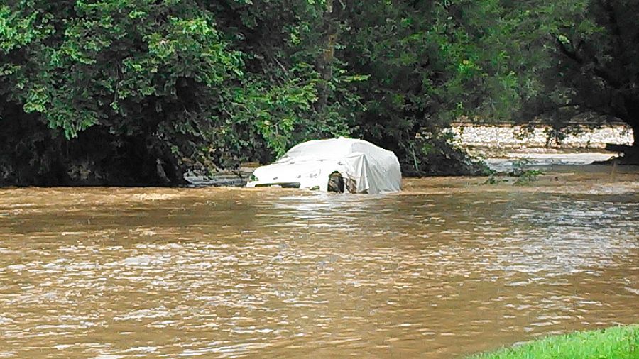
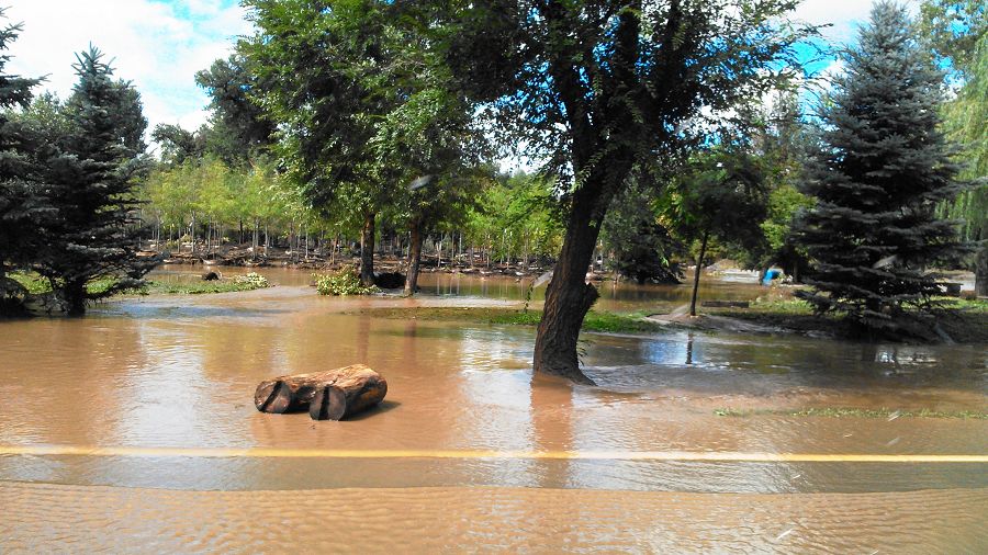
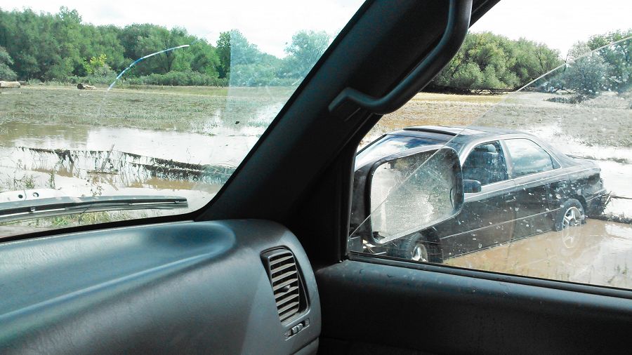
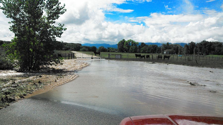
Boulder Flood 2013 (Photo Nate Rock)
Boulder Flood 2013 (Photo Nate Rock)
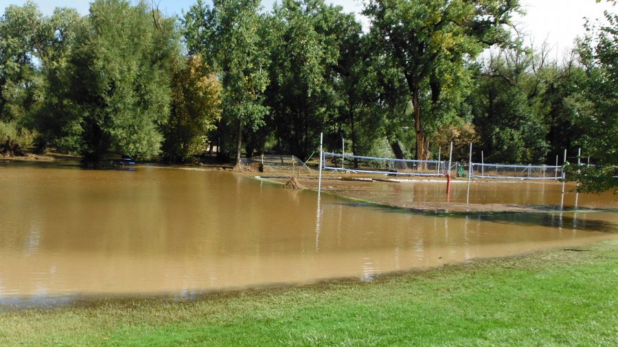
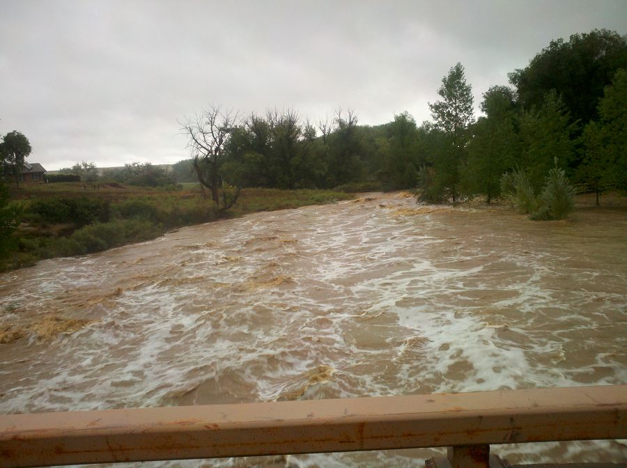
Boulder Flood 2013 (Photo Nate Rock)
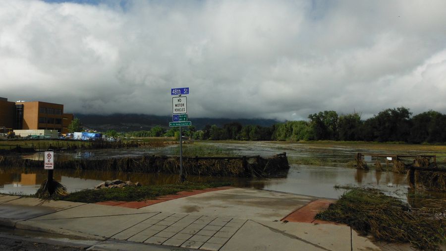
Boulder Flood 2013 (Photo Nate Rock)
Boulder Flood 2013 (Photo Nate Rock)
Boulder Flood 2013 (Photo Nate Rock) Lower Gorden Gulch
Boulder Flood 2013 (Photo Nate Rock)
Boulder Flood 2013 (Photo Nate Rock)
Boulder Flood 2013 (Photo Nate Rock)
Boulder Flood 2013 (Photo Nate Rock)
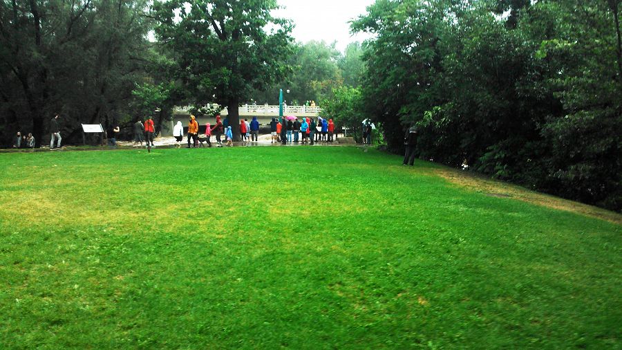
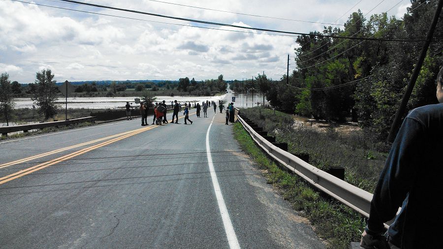
Boulder Flood 2013 (Photo Nate Rock) people watching flood waters
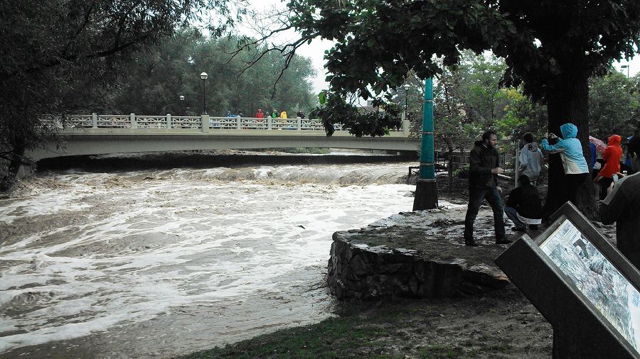
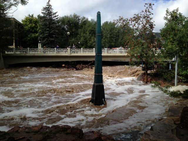
Boulder Flood 2013 (Photo Nate Rock) Boulder Creek in Boulder
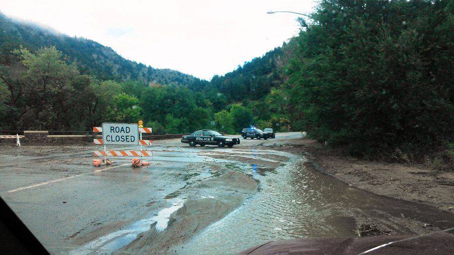
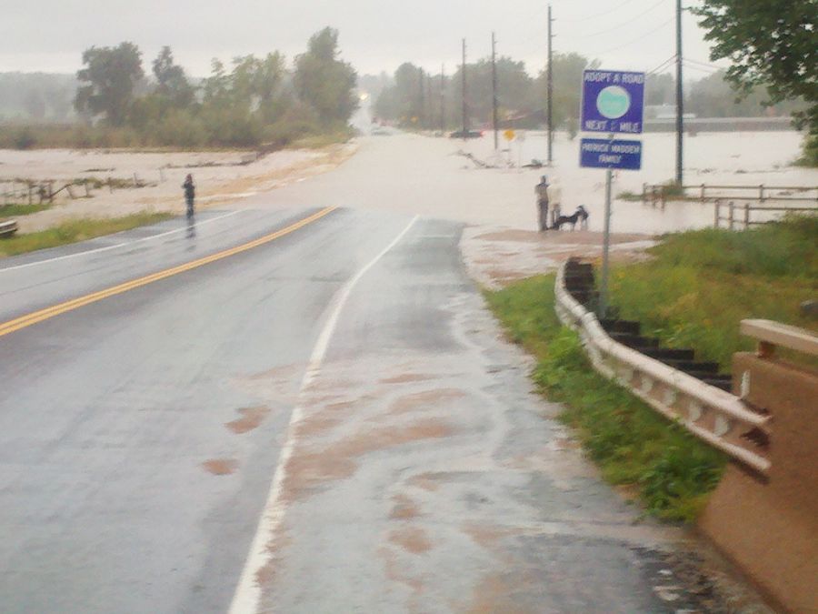
Boulder Flood 2013 (Photo Nate Rock) Road closure
Boulder Flood 2013 (Photo Nate Rock)
Boulder Flood 2013 (Photo Nate Rock) collecting samples
Boulder Flood 2013 (Photo Nate Rock) Debris in road
Boulder Flood 2013 (Photo Nate Rock)
Boulder Flood 2013 (Photo Nate Rock)
Boulder Flood 2013 (Photo Nate Rock)
Boulder Flood 2013 (Photo Nate Rock) Sampling
Boulder Flood 2013 (Photo Nate Rock) Sampling
Boulder Flood 2013 (Photo Nate Rock)
Boulder Flood 2013 (Photo Nate Rock)
Boulder Flood 2013 (Photo Nate Rock)
Boulder Flood 2013 (Photo Nate Rock)
Boulder Flood 2013 (Photo Nate Rock)
Boulder Flood 2013 (Photo Nate Rock)
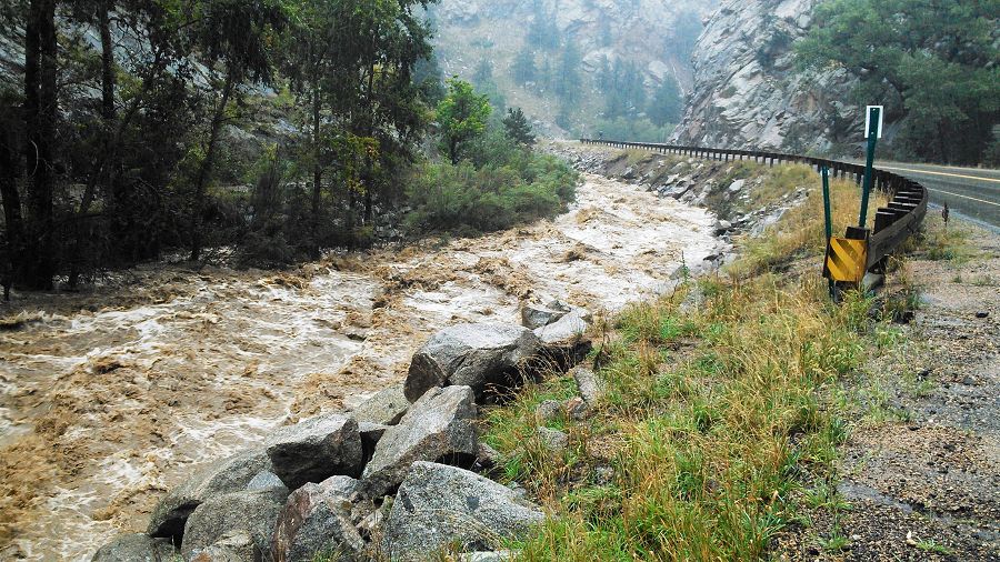
Boulder Flood 2013 (Photo Nate Rock) Flooded highway
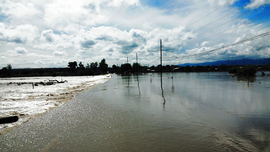
Boulder Flood 2013 (Photo Nate Rock) Flooded highway
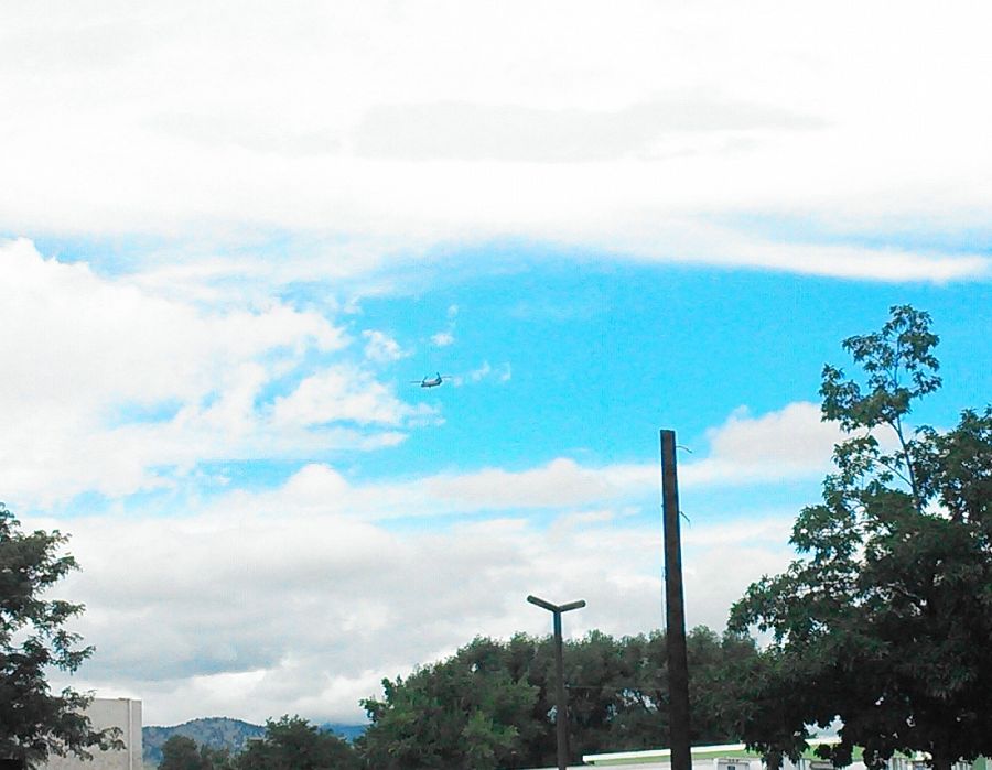
Boulder Flood 2013 (Photo Nate Rock) Rescue helicopter
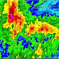
September 12th 2013. Wettest day on record.
Prior to Wednesday, the single wettest day on record was July 31, 1919, when 4.80 inches of rain were recorded, according to Bob Henson, a science writer at the National Center for Atmospheric Research. (Daily Camera POSTED: 09/12/2013 04:54:28 AM MDT)
Sept 17 pictures of Stream gauge at Lower Gordon Gulch added.
Sept 18 pictures of Stream gauge at Lower Gordon Gulch added.

Related News
Boulder Creek CZO assessing flood in Lower Gordon Gulch
18 Sep 2013 - BcCZOII member, Nate Rock, was able to access Lower Gordon Gulch via Golden Gate on 17 September 2013 only to find that the GGL gauge had been...
Boulder Creek CZO responds to record-breaking Colorado rainfall and flooding
13 Sep 2013 - Investigators and staff rush into action to collect samples and observe impacts
Boulder Creek CZO collecting samples after the flood
19 Sep 2013 - On Monday September 16 2013 Rachel Gabor assembles a small crew to take samples on Boulder creek.
Colorado’s Extreme Weather Event Smashes Records
26 Sep 2013 - Colorado rainfall records going back to 1893 were shattered by September's intense and persistent rainstorm.
Explore Further
