GIS, Remote Sensing & Geophysics
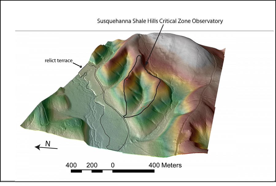
Geomorphology of the Shale Hills CZO. Credit:
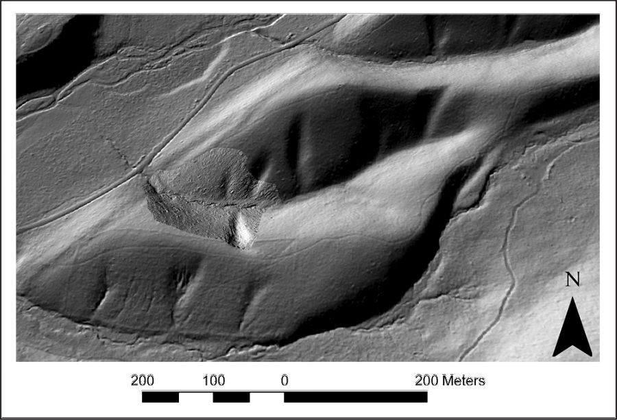
Hillshade of Shale Hills from aerial lidar survey (December 2010).
Measured geospatial data described above as well as data collected from public datasets (elevation, land cover, soils, geology) and derived products (slope, aspect, flow paths, watershed boundary) can be accessed through the SSHCZO data portal.
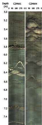
Optical televiewer log from CZMW 1 (left) and CZMW 4 (right).
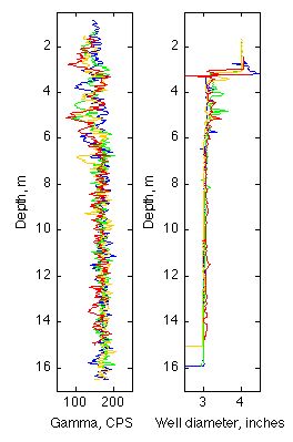
Gamma (left) and caliper (right) logs for the 4 valley floor wells, CZMW 1 (blue), CZMW 2 (green), CZMW 3 (yellow), and CZMW 4 (red).
Optical televiewer log from CZMW 1 (left) and CZMW 4 (right).
Gamma (left) and caliper (right) logs for the 4 valley floor wells, CZMW 1 (blue), CZMW 2 (green), CZMW 3 (yellow), and CZMW 4 (red).
Hillshade of Shale Hills from aerial lidar survey (December 2010).
Explore Further
