Cole Farm (Agricultural Site)
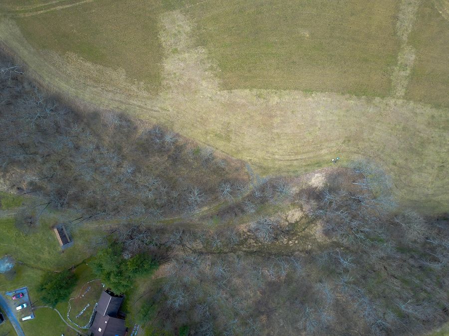
The Cole Farm catchment (0.65km2) is located ~ 4 km southwest of the Shale Hills site, draining orthogonally to a syncline axis of the Wills Creek Formation, a calcareous shale containing interbedded siltstone, sandstone, shaly limestone, and dolomite. Even though the farm adopted no-till practices in the 1970s, the axial channel of Cole Farm flows over a thick (>2.5 m) package of sediment in the valley floor. Soils range in texture from silty clay at the ridge top to sandy loam in the valley floor.
0.65 km2 Area
Parent Field Area:
Susquehanna Shale Hills Critical Zone Observatory ▲
-
Setting & Research
The Cole Farm catchment (0.65km2) is located ~ 4 km southwest of the Shale Hills site, draining orthogonally to a
syncline axis of the Wills Creek Formation, a calcareous shale containing interbedded siltstone, sandstone,
shaly limestone, and dolomite. Even though the farm adopted no-till practices in the 1970s, the axial channel of
Cole Farm flows over a thick (>2.5 m) package of sediment in the valley floor. Soils range in texture from silty
clay at the ridge top to sandy loam in the valley floor. -
Data
Cole Farm - Precipitation - Daily Precipitation (2017-2019)
2 components • Cole Farm (Agricultural Site) • Climatology / Meteorology, Hydrology • Li, Li; Xiao, DachengCole Farm - Seismic Refraction, Geophysics (2018)
1 components • Cole Farm (Agricultural Site) • Geophysics, Geomorphology • Hayes, JordenCole Farm - Soil Moisture, Soil Temperature (2017-2019)
4 components • Cole Farm (Agricultural Site) • Hydrology, Soil Science / Pedology • Eissenstat, David M.; Duncan, Jon; Tang, QichengCole Farm - Soil Moisture - COSMOS Probe (2018)
1 components • Cole Farm (Agricultural Site) • Soil Science / Pedology • Li, Li; Xiao, DachengCole Farm (Agricultural Site) - Meteorology (2017-2018)
1 components • Cole Farm (Agricultural Site) • Climatology / Meteorology • Kenneth J. DavisCole Farm (Agricultural Site) - Soil Moisture, Soil Temperature (2017-2019)
4 components • Cole Farm (Agricultural Site) • Hydrology, Soil Science / Pedology • Eissenstat, David M.; Duncan, Jon; Tang, QichengCole Farm (Agricultural Site) - Groundwater Depth, Groundwater Temperatures (2017-2019)
8 components • Cole Farm (Agricultural Site) • Hydrology • Brantley, Susan L.; Forsythe, BrandonCole Farm (Agricultural Site) - Solar Radiation (2018-2019)
1 components • Cole Farm (Agricultural Site) • Climatology / Meteorology • Kenneth J. DavisCole Farm East Mid-Slope - Electrical Conductivity (2017-2018)
1 components • Cole Farm (Agricultural Site) • Geophysics, Soil Science / Pedology, Hydrology • Brantley, Susan L.; Tang, QichengCole Farm Ridge Top - Electrical Conductivity (2017-2018)
1 components • Cole Farm (Agricultural Site) • Geophysics, Geology / Chronology • Brantley, Susan L.; Gu, XinCole Farm Valley Floor - Electrical Conductivity (2017-2018)
1 components • Cole Farm (Agricultural Site) • Geophysics, Geology / Chronology • Brantley, Susan L.; Gu, Xin
Explore Further
