Visiting the Water Source: A Tour of the Kings River Headwaters
By Michelle Gilmore and Leigh Bernacchi
Ever wonder how we know what we know about water? Twenty-five intrepid water and forest managers, political officials, and local landowners recently visited the headwaters of Kings River to find out.
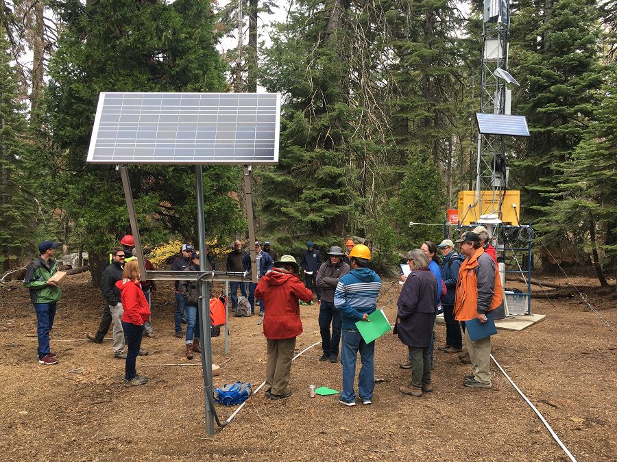
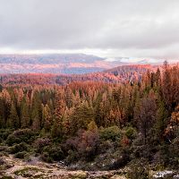
On October 20, a morning full of mist, the Southern Sierra Critical Zone Observatory, UC Water and USDA Forest Service hosted an in-depth tour of the instruments and ecosystems of the Providence Creek area in the Sierra National Forest.
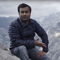
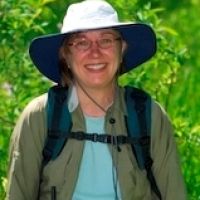
Led by University of California, Merced, faculty Dr. Martha Conklin and Dr. Mohammad Safeeq, along with Dr. Joe Wagenbrenner from the USDA Forest Service, the group toured an array of instruments measuring and monitoring the water cycle, from the weather to the streams, through soils, trees, and meadows.
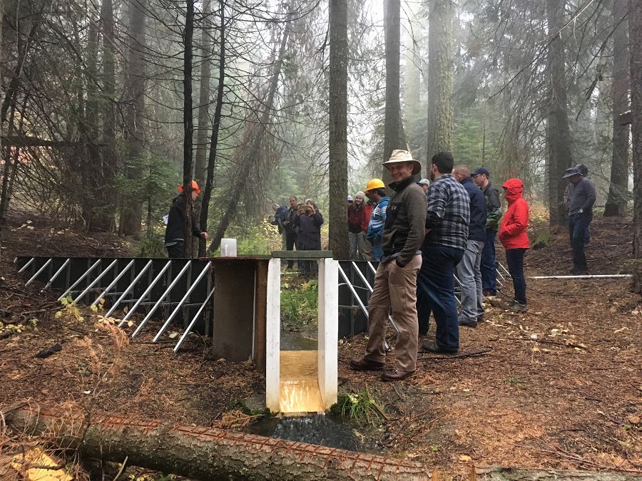
Discussion of streamflow and water quality at the P304 double-flume stream gage and sediment basin. Photo by Michelle Gilmore, October 2017
Site stops included a meteorological station and a transect of snowpack and soil moisture sensors that send information over wireless communications. We had lunch under the Critical Zone Tree, a now deceased White Fir. As Dr. Safeeq said, “I’m a scientist. It’s still interesting to monitor its sap flow and water use after it’s officially dead.”
We also visited the forest-scale gas flux tower, meadows brimming with Sierran treefrogs and wells, and a coupled streamgage flume and sediment basin. Many of these instruments are solar powered and collect data that are publicly accessible.
At each stop, tour guides told the story of the drought and most recent wet year through the locally-produced data. Important properties of the landscape along the tour were also discussed, including misconceptions about these landscape features. For instance, Dr. Conklin explained why meadows do not actually facilitate increased water storage, but rather change the timing of water flow into stream channels. Conklin also detailed the other positive impacts of meadows, including carbon storage, biodiversity, and lower evapotranspiration rates compared to forested areas of similar size.
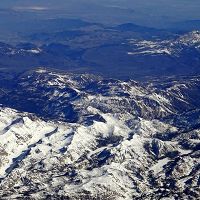
One of the best aspects of the tour was energizing conversations among all attendees about land management decisions and the important role that measurement and partnerships play. Measurements of water contained in the snow, soil, streams, and vegetation in the Sierra Nevada headwaters can provide critical information for water and forest management decisions across the state. As California’s largest water tower, understanding more about quantity and quality of the Sierra Nevada’s waters is vital to the prosperity of California's communities, economies, and ecosystems.
A graphical agenda made for this tour is available online.
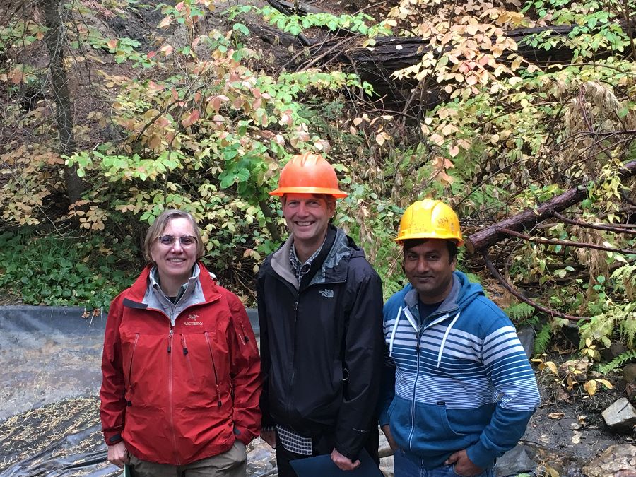
Tour leaders Drs. Martha Conklin, Joe Wagenbrenner, and Mohammad Safeeq (left to right).
Photo by Leigh Bernacchi, October 2017
Discussion of streamflow and water quality at the P304 double-flume stream gage and sediment basin. Photo by Michelle Gilmore, October 2017
Tour leaders Drs. Martha Conklin, Joe Wagenbrenner, and Mohammad Safeeq (left to right).
Photo by Leigh Bernacchi, October 2017
News Category:
RESEARCH |
INFRASTRUCTURE |
DATA |
PEOPLE |
EDUCATION/OUTREACH
Files
Graphical Agenda: Southern Sierra Headwaters Tour
(5 MB pdf)
Instruments and other information about stops along the October 20 tour.
Photos
SSCZO - Instruments
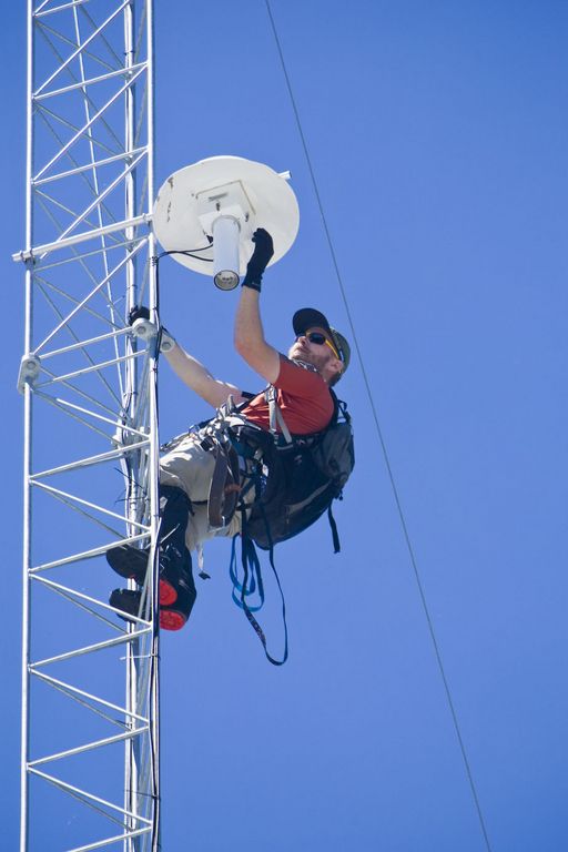
Matt Meadows (Field Manager, UC Merced) checks on an instrument on the P301 flux tower.
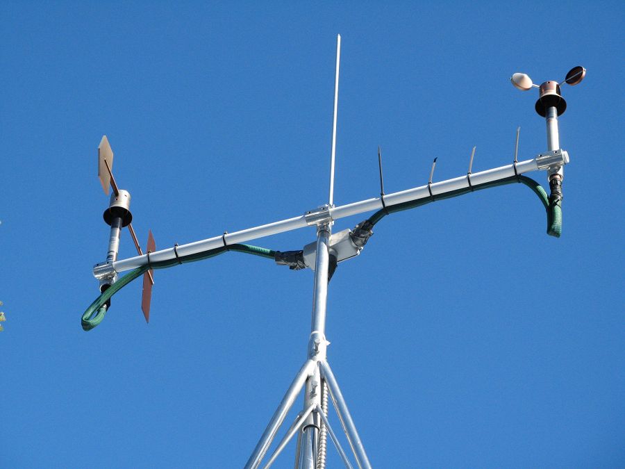
Anemometer measuring wind speed and direction.
Ultrasonic anemometer on the P301 flux tower measures wind speed and direction in 3 dimensions. Data is connected to gas samples taken every quarter second at the filters on the left (beige circles).
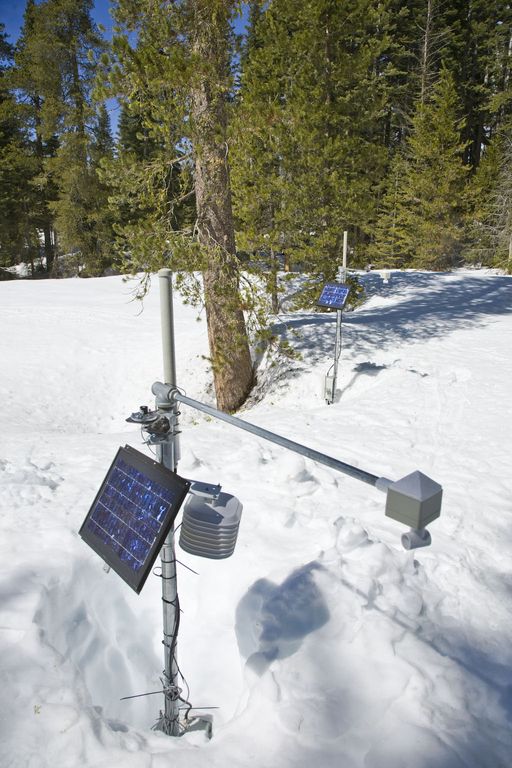
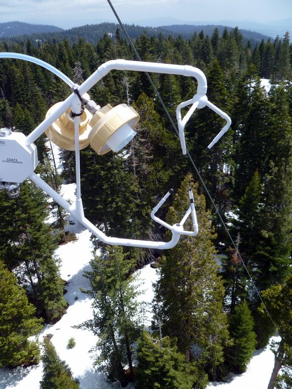
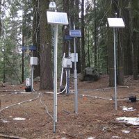
Instrument cluster featuring a relative humidity sensor, ultrasonic snow depth sensor, co-located soil moisture and temperature sensors at different depths, and a solar panel to power it all.
Instrument cluster at the P303 Upper Met site with ultrasonic snow depth sensor and co-located soil moisture and temperature sensors.
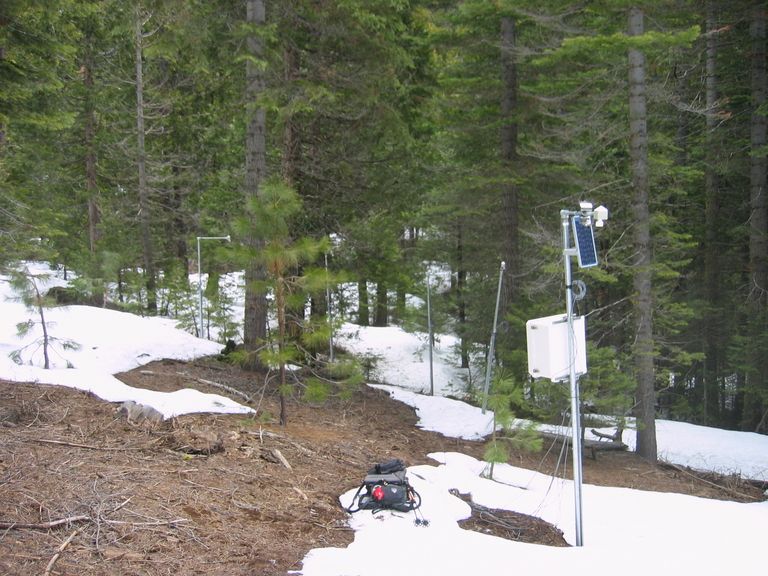
Instrument cluster at the P300 Lower Met site with ultrasonic snow depth sensor and co-located soil moisture and temperature sensors. The pole also psupports a solar panel, and an enclosure with a backup power supply and the data logger.
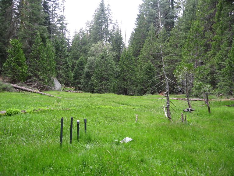
Instruments installed in the P301 meadows include wells and piezometers, at different locations to assess surface and groundwater flows.
Several clusters of instruments measure the water balance. These clusters each contain soil moisture and temperature sensors, an air temperature sensor, relative humidity sensor, and an ultrasonic snow depth sensor.
These water balance instruments are clustered at two different elevations, with north, flat, and south facing aspects. Conditions are measured under canopy, at drip edge, and at open canopy. Water balance measurements are also made in the wireless sensor network that stretches along the P301 meadow.
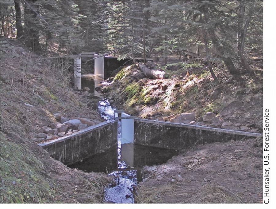
The eight subcatchments and two integrating catchments in the KREW project have flumes to measures discharge.
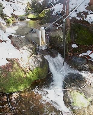
The large KREW flumes are complemented by small flumes for low flow.
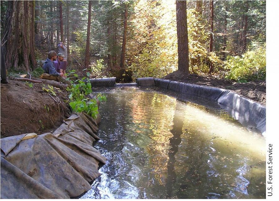
Each of those eight KREW subcatchments also has a plastic-lined settling basin to capture sediment.
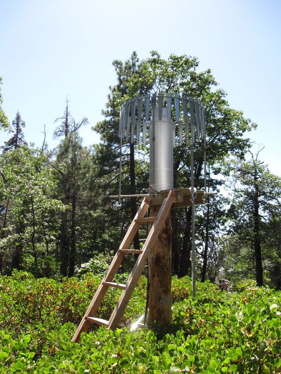
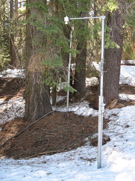
There are two meteorological stations in the Providence catchment - one at the lower elevation range and one near the crest. Each meteorological station has a rain gauge.
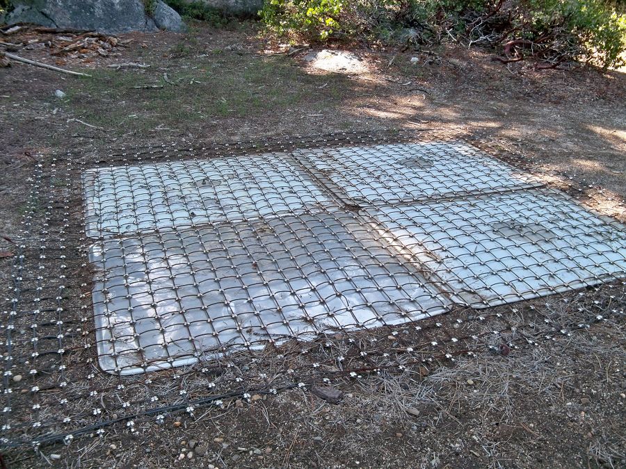
At the upper meteorological station, there is a snow pillow. This snow pillow tracks the weight of snow above it. Combined with the snow depth measurements, the two permit the calculation of amount of water in the snow pack.
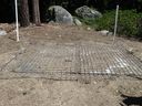
Another view of the snow pillow.
Hundreds of instruments and sensors have been deployed in the primary SSCZO research site of the Providence Creek watershed as well as in Wolverton basin. Additional SSCZO flux towers and instruments have also been installed at the San Joaquin Experimental Range, Soaproot Saddle, and Short Hair Creek.
Explore more photos of the intstuments and sensors used by SSCZO.
People Involved
CZO
-
Sierra, INVESTIGATOR
-
Sierra, INVESTIGATOR
-
Sierra, STAFF
-
Sierra, COLLABORATOR
Related News
UCSB graduate team working on collaborative forest restoration strategies in Sierra Nevada
03 Oct 2017 - Five master's students at the UCSB Bren School are incentivizing restoration strategies for private landholders with Sierra RCD.
Vegetation Matters: Type conversion could impact Sierra stream flow more than changing climate alone
02 Sep 2016 - This is an excerpt of a press release originally published on 30 August 2016 by James Badham, covering a new peer-reviewed article published by...
UCTV: Southern Sierra CZO researchers featured on Sustainable California channel
21 Jun 2017 - University of California Television (UCTV) features Bales, Conklin, Glaser, Safeeq, and others on the new Sustainable California channel
NY Times: Sierra Nevada Snow Won’t End California’s Thirst
11 Apr 2016 - New York Times reporter, Henry Fountain spoke with Southern Sierra CZO PIs Roger Bales and Martha Conklin and investigtor Mohammad Safeeq as they...
Data from a few Sierra Nevada white firs give clues to fate of species
13 Sep 2013 - A feature on the Critical Zone Tree-1, exploring climate change implications for white fir species
Wireless sensors to improve Sierra snowpack measurements
04 Mar 2011 - More than half of the water used in California for farming and drinking and other everyday uses comes by way of runoff from the Sierra Nevada, and...
Sierra’s rain-snow zone promises water insight
20 Mar 2011 - SHAVER LAKE -- In a pounding rain, scientist Matt Meadows skis toward a cluster of snow sensors. The temperature dips, rain turns to sleet, then snow....
Explore Further
