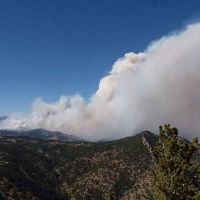
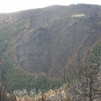
Cold Springs fire!
The Cold Springs fire is south of Gordon Gulch, and could threaten Gordon Gulch. The greater Nederland area is under an evacuation order, Most roads into Nederland are closed along with an area that stretches to Boulder Creek and up to the Peak-to-Peak highway. Please do not try to get into the field site while this is going on. We do not want to interfere with firefighters or evacuees.
This is a great time to thank Nate Rock for his work networking and radio-linking many of our dataloggers in Gordon Gulch (and Betasso, just this week), so we are currently receiving data!
If you want to watch the situation, the Boulder OEM has a few sites with the most up-to-date info:
For information-
http://www.boulderoem.com/emergency-status/
For a map-
http://boulder.maps.arcgis.com/apps/PublicInformation/index.html?appid=cd569c1a616f4b258681716bbe5418f0
#ColdSpringsFire
News Category:
RESEARCH |
INFRASTRUCTURE |
DATA |
PEOPLE
Related News

Sheila Murphy USGS press release “Storms after Wildfire Lead to Impaired Water Quality”
01 Oct 2015 - Fourmile Canyon fire September 2010, burned about 6,000 acres in Boulder County, CO. Storms after wildfire led to downstream water-quality impairment.
CZO scientist Sheila Murphy quoted in NY Times on wildfire impact on water quality.
12 Sep 2013 - With an enormous wildfire in the Sierra Nevada posing a potential threat to San Francisco’s water supply, city officials were busy planning...
Explore Further


