GIS, Remote Sensing & Geophysics
The Reynolds CZO has a rich collection of remote sensing and GIS data and data products for scientific study. The imagery includes multispectral, hyperspectral, and LiDAR (airborne and ground-based). Researchers have co-collected airborne and ground based remote sensing data with in situ biophysical data for numerous vegetation and snow-hydrology studies. For example, these datasets have been used to estimate shrub cover and biomass at a local scale, as well as throughout the watershed. The Reynolds CZO will leverage this rich data collection and derived products for critical zone observations and to help catalyze collaborations with related studies.
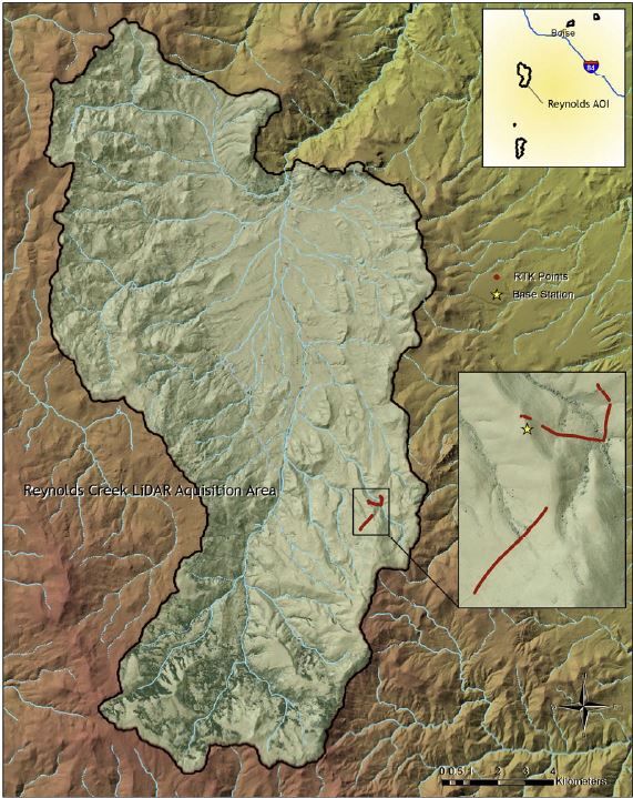
LiDAR data collected in fall of 2007 by Watershed Sciences
LiDAR
LiDAR data allows researchers to study the three dimensional complexity of vegetation and terrain, making it an important remote sensing dataset to investigate the critical zone. There have been two LiDAR collections at USDA-ARS RCEW. The first was a snow-off flight collected in November, 2007 covering the entire Reynolds Creek watershed. The second was a snow-on flight collected over the southern portion of the watershed in March, 2009. The Reynolds CZO will use these LiDAR datasets for numerous studies, including modeling soil carbon and further investigation of watershed-scale biomass.
Spectral Imagery
Multispectral imagery can be used to explore spectral changes overtime while hyperspectral imagery can be used to extract species level vegetation and geologic information. Hyperspectral data were collected by HyMap in August, 2010. The hyperspectral data will be used with the LiDAR data to improve vegetation cover estimates for modeling inputs. Time-series multispectral data will be used for net primary productivity estimates for the modeling.
GIS
The USDA-ARS already has a large collection of historical field data from 1950-present. These data consist of watershed scale base maps of geology, vegetation, elevation, etc, as well as point-series datasets from in situ instrumentation. These detailed datasets are all hosted within a GIS geodatabase, made available for Reynolds CZO studies.
Explore Further
