ARCHIVED CONTENT: In December 2020, the CZO program was succeeded by the Critical Zone Collaborative Network (CZ Net)
×
CZO Researchers Develop Hands-On Exercises for K-12 Teachers
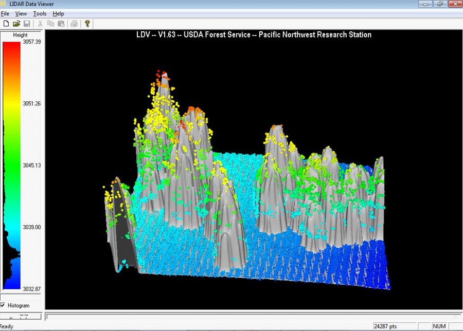
This is a 2-page handout given to high-school teachers through the Americal Geosciences Institute (AGI) to introduce their students to LiDAR technology and Critical Zone science. The second page has two computer-based exercises for student to explore real LiDAR datasets.
News Category:
EDUCATION/OUTREACH
People Involved
CZO
-

Boulder, Catalina-Jemez, INVESTIGATOR
-

National, Shale Hills, INVESTIGATOR, STAFF

Explore Further
