Critical Zone Profile - MELISSA FOSTER (geologist, PhD student)

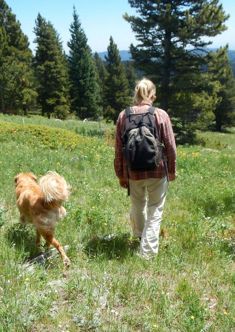
At the Colorado Front Range, the low-sloping western High Plains abut against the dramatic Rocky Mountains. Over time, hillslopes in the Front Range erode, moving material downhill, where it eventually enters stream systems. Rivers carry sediment out of the mountains and through the plains, aggrading at times and cutting into bedrock at other times. These cycles of aggradation and incision change the landscape over time.
Melissa Foster is a geologist studying how the Colorado Front Range landscape has evolved over time. The goal of Foster’s work is to quantify the rates at which this landscape is evolving. Some of the broad questions Foster is addressing include:
(1) How long does it take to create soil from rock?
(2) How quickly are hillslopes lowering in the Rocky Mountains?
(3) How have rivers eroded the western High Plains, shaping the topography of communities such as Boulder, Colorado?
“I first heard the term critical zone while pursuing my Master’s degree. I think it is the right term to use because this is the zone of the Earth that supports life, and it is critical to our survival.” – Melissa Foster
Growing up, I liked science but didn't consider it as a major until I reached college. I took my first geology classes at the College of Charleston, to fulfill my science requirement. I loved spending time in the field, and the people in the Geology Department were really engaging and excited about science. During my junior year, I went on a national student exchange program to Humboldt State University in Arcata, California. All of the classes there have a substantial field component, and this way of learning really got me hooked.
To prepare myself to pursue interdisciplinary science, I took biology, physics, chemistry, calculus, and statistics – in addition to geology courses. The focus of my work in Colorado is heavily quantitative, and I cannot stress enough the importance of calculus and statistics!
Too often the management of resources falls under one group’s jurisdiction or is seen as a single management issue. Because Critical Zone Observatories (CZOs) focus on interdisciplinary research, they can help improve the understanding and management of resources by elucidating the overlap and linkages between the biological, geological, physical, and chemical processes affecting our resources.
The science community has made many assumptions about how the Colorado Front Range landscape evolved. My work allows us to test those assumptions. This is important because it is necessary to understand how different landscapes behave similarly or individually to the same forcing, such as climate change.
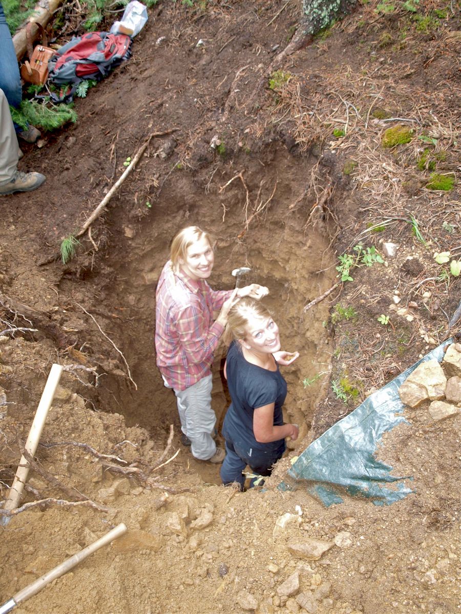
Soil pit sampling in the Gordon Gulch study basin of the Boulder Creek CZO with Juliane Huber, a graduate student from Germany
I study longer periods of time that help us understand how the systems work in general. My work provides the timeline for how the Colorado Front Range landscape has evolved in recent geologic time, and it could provide insight into how this landscape will respond to the current changing climate. I use cosmogenic radionuclide (CRN) dating to establish this timeline. CRNs are produced in the near-surface of the Earth, when sediment is naturally exposed to high-energy particles. By measuring the concentration of CRNs, I am able to put ages on various landforms and quantify the rates of sediment production.
Research indicates that river incision (downcutting or erosion) often occurs during interglacial, or “warm” time periods. Front Range rivers are in a period of vertical incision, which is what we would expect for a warm period. I am finding that many river basins respond quite individually to the same type of climatic forcing. So, although many rivers downcut and incise during warm periods of time, the rates at which they do so may vary quite dramatically.
To best predict how a particular landscape will respond, we need a better understanding of how the entire landscape functions together. For instance, many river flows are dominated by snowmelt. As the climate warms, these river flows will become more rainflow dominated. A river basin that is experiencing this type of change may respond much more dramatically than a basin that is already dominated by rainflow.
The CZO network has been invaluable to my research. I have been given the opportunity to collaborate with visiting researchers whose travel was supported by the CZO network. Through CZO functions I have met a number of top researchers in my field and interacted with other graduate students with whom I will likely collaborate in the future. I have also been afforded the opportunity to travel to other dating laboratories and compare techniques with other CZO researchers. One of the greatest challenges I’ve faced was learning how to process a number of particularly difficult dating samples in our laboratory. I overcame by this challenge by reaching out to fellow CZO laboratories and collaborators. These laboratory visits allowed me to learn the most up-to-date methods and techniques for cosmogenic radionuclide dating. Most importantly, I have received financial support from the CZO network that allows me to concentrate on my research and pursue various dating projects. Without this support, it would be difficult, if not impossible, for me to accomplish the same volume of research and pursue the same variety of projects as I do currently.
Teaching a group of high school students during a week-long Science Discovery Program.
Recently I was able to take participate in a summer school offered by CZO-affiliates in Australia. During this summer school, I met international CZO collaborators and conducted critical zone research in an entirely different climate and landscape. Observing how Australian farmers have adapted to drought and low-water growing conditions was one of the most interesting aspects of the summer school. Australian farmers are actively engaged in research focused toward reducing erosion, increasing water infiltration in their soils, and increasing productivity during drought without irrigation. This area of research seems especially relevant given the extreme drought conditions the American west is currently experiencing.
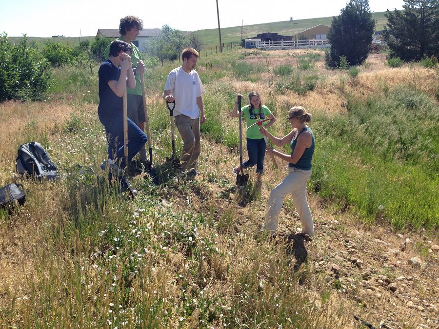
Throughout my time as a graduate student, I have mentored several undergraduate and high school students. I helped my student mentees learn laboratory methods and conduct small research projects. I also participated in the University of Colorado’s Science Discovery Program, which offers classes devoted to critical zone studies. I have spoken at local scientific communities and a retirement home about my research. Many older audiences have little to no background in geology, as Earth Science was not a core subject of study when they were attending school.
With both older and younger audiences, I really want them to understand how the scientific process works. In essence, we are testing ideas and drawing conclusions that most easily explain the data. We are often surprised by the results we receive and the interpretations they yield. Our pre-existing notions or beliefs do not drive these interpretations.
:: By Linda Copman, staff writer ::
Melissa Foster
Soil pit sampling in the Gordon Gulch study basin of the Boulder Creek CZO with Juliane Huber, a graduate student from Germany
Teaching a group of high school students during a week-long Science Discovery Program.
News Category:
RESEARCH |
PEOPLE |
EDUCATION/OUTREACH


Discipline Tags and CZOs
Geology / Chronology
Geomorphology
Soil Science / Pedology
National
Boulder
Related News
Explore Further
