Critical Zone Profile - CARLOS OROZA (systems engineer, PhD student)
Carlos Oroza designs and deploys wireless sensor networks to monitor real-time changes in the water supply. At the Southern Sierra CZO, Oroza – along with CZO staff and other researchers – maintains a 23-node wireless sensor network that provides spatially-distributed measurements of snow, soil moisture, solar radiation, temperature, and relative humidity. Data from the sensors is transferred through a wireless network and uplinked to provide researchers with real-time information.
One goal of Oroza’s research is to enable long-term, spatially dense measurements about how the natural regions that supply our water change over time. For instance, what is the cumulative effect of multiple years of drought on soil moisture, snow accumulation, and melt, and how is this going to affect stakeholders in the long run? A second goal is to provide accurate, real-time information to multiple stakeholders about what’s going on “upstream.” For example, a hydropower operator might want to track how much snow accumulation and melt there is upstream of the plant in order to optimize power generation and dam releases.
“Coming from a civil engineering perspective, I like to view the Sierra Nevada Mountains and downstream deltas as a giant ‘natural infrastructure’ for water storage and conveyance.” – Carlos Oroza
As I drive through the central valley to my field site at the Southern Sierra (SS) CZO, I see lots of fallowed orchards and dry reservoirs. To witness the impacts of the drought firsthand really drives home the urgency of the current situation in California. In semi-arid regions like California, we rely on snowpack in the mountains to store water all winter, then slowly release it as the snow melts in the spring and summer. Understanding how this natural water supply system will react as the climate warms is important to everyone who uses water in California.
I began working on water-related systems engineering for my undergraduate research. I worked on project to design and build a network of robotic sensors to provide real-time monitoring for the Sacramento-San Joaquin Delta. I got really interested in wireless sensor networks and algorithms during this project, so I decided to pursue a PhD and continue working on wireless sensor networks to monitor water.
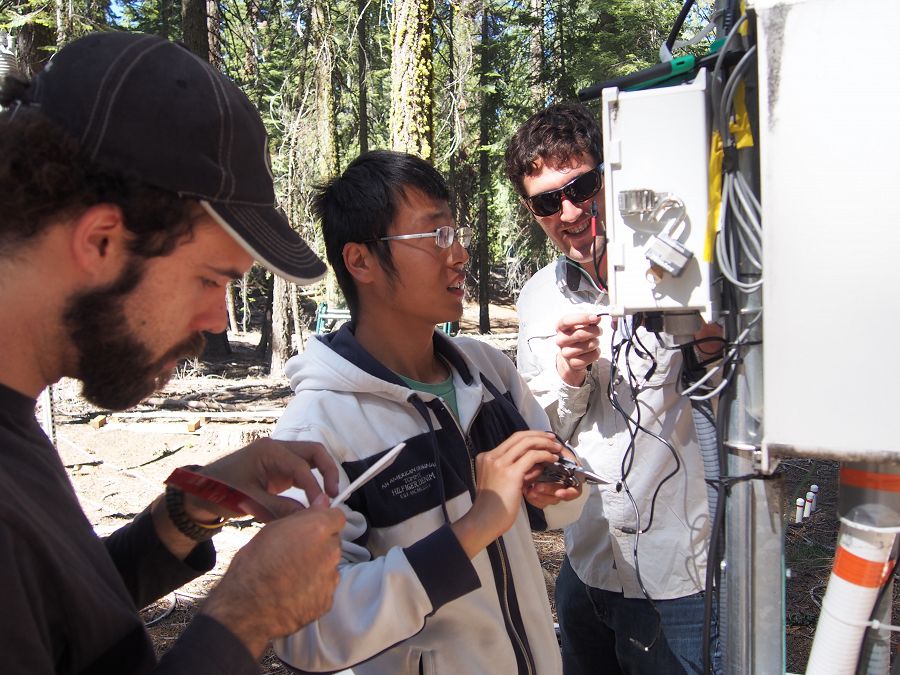
Josha Clegg, Zeshi Zheng, and Carlos Oroza install a new wireless data logger at the SSCZO.
Many of our existing water management practices are based on statistical regression from historical data. In other words, we look at how the system has behaved in the past and make plans using that data. This approach will be less useful if conditions change, as climate warming and the long-term historical record suggest they might. So we need to develop better tools, techniques, and models to understand what’s going and how changing conditions will affect our water supply in the future.
For complex, interconnected systems it is not sufficient to study one component in isolation. For example, if I want to be able to predict how runoff might change under future warming scenarios, I can’t simply speculate on how snow distribution and melt might change. I need to understand how changes in vegetation affect evapotranspiration, which is a large component of the water balance. I also need to understand how the soil structure and deep storage patterns might change. Finally, I need to understand the coupled effects of all of these components. How do changes in soil moisture and structure affect vegetation, and vice versa? To be able to address all of these components, we need experts in a diverse set of fields working together.
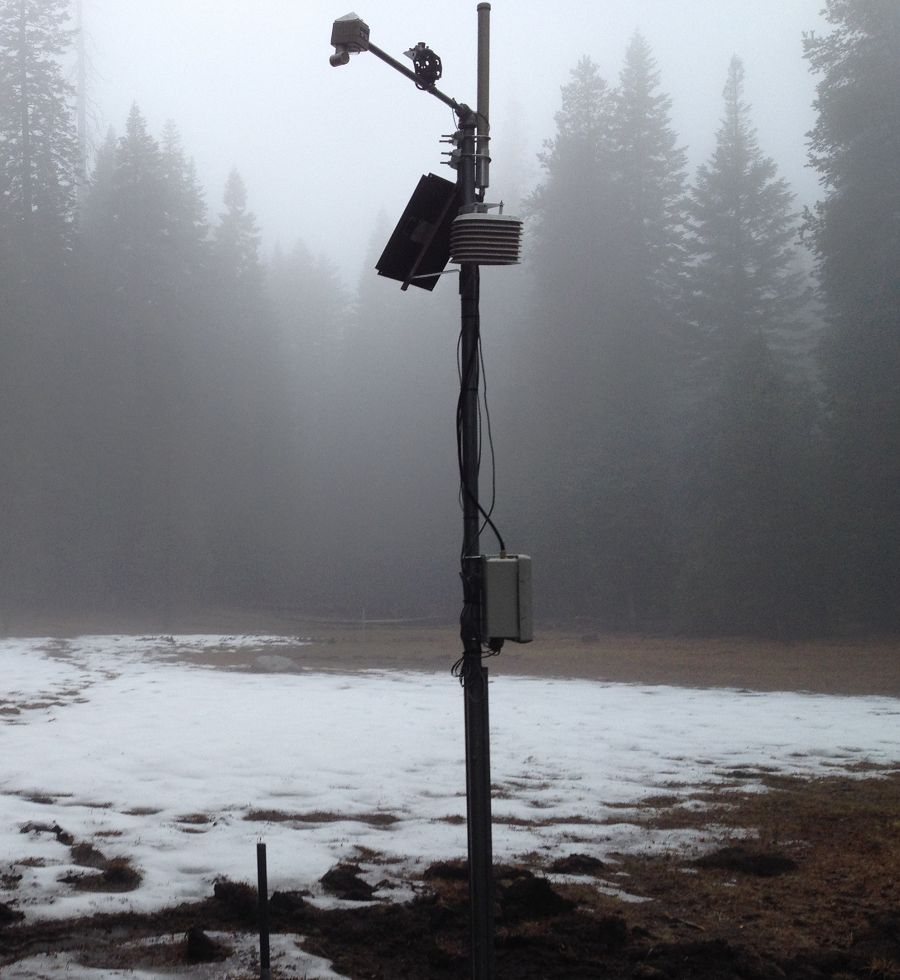
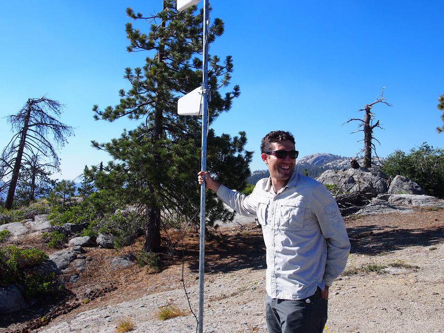
A complete wireless sensing node: snow depth is measured with an ultrasonic sensor, soil moisture sensors are buried below. Temperature and relative humidity are measured under the white solar radiation shield. Solar radiation is measured from the top of the mast.
In fact, my research relies on shared data and methods from other critical zone researchers. For example, I am currently publishing a paper in which we use others’ LiDAR data (in which the site is scanned with a laser attached to an airplane) to determine where we should place sensors to capture as much information as possible. The CZO network also gives me access to experts in other fields. For instance, I’m about to start a study on the long-term evolution of snow pack and soil moisture at the SSCZO. This is not my area of expertise, but through the CZO network I have access to top researchers who can help me understand my data.
The biggest challenges I face are those that come with working year-round in an unpredictable mountain environment. Imagine the issues people have setting up wireless networks in their home, multiply the number of wireless nodes by 50, and put them in the woods for a year! Tress fall on sensors, bears eat the cables, and snow does a really good job of absorbing signal strength. Fortunately, we have great field personnel who have years of experience maintaining equipment and who are willing to brave tough conditions to make sure things keep running year-round.
Before I started this research, I certainly was not aware of how much we depend on the natural environment for our resources and how sensitive natural environments are to change.
The SSCZO does a lot of community outreach (school groups, local stakeholders, etc.), which I think is really helpful. PersonalIy, I have many opportunities to share my work. The drought in California is really on people’s minds right now, so it often comes up in conversation. I really enjoy sharing some of the things I’ve learned at the SSCZO, such as the fact that climate change might result in trees moving to higher elevation, which could reduce runoff.
:: By Linda Copman, staff writer ::
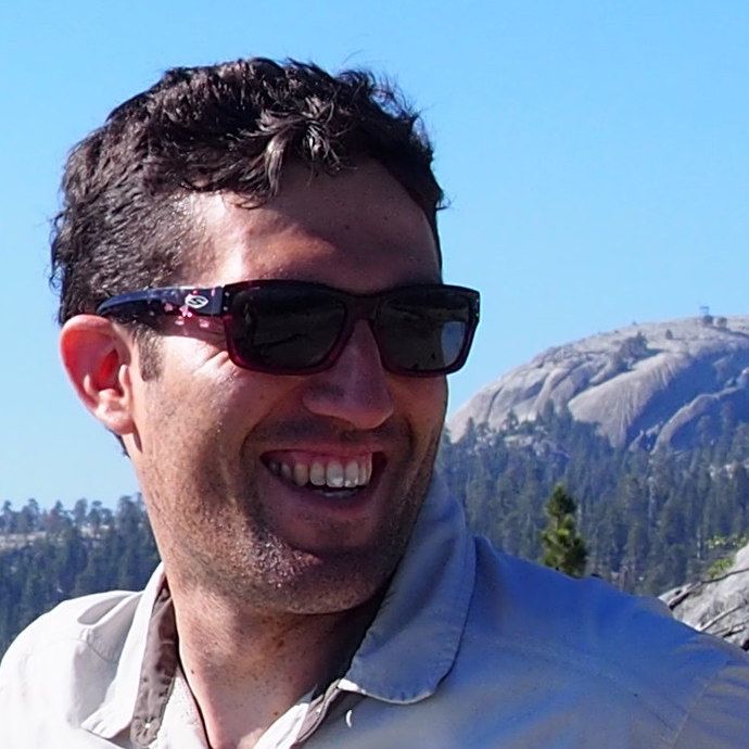
Carlos Oroza
Josha Clegg, Zeshi Zheng, and Carlos Oroza install a new wireless data logger at the SSCZO.
A complete wireless sensing node: snow depth is measured with an ultrasonic sensor, soil moisture sensors are buried below. Temperature and relative humidity are measured under the white solar radiation shield. Solar radiation is measured from the top of the mast.
News Category:
RESEARCH |
PEOPLE |
EDUCATION/OUTREACH


Discipline Tags and CZOs
Engineering / Method Development
Climatology / Meteorology
Hydrology
National
Sierra
Related News
Explore Further
