Critical Zone Profile - XAVIER ZAPATA-RIOS (hydrologist, PhD student)

The Critical Zone (CZ) is a very thin surficial layer of the planet that extends from the base of the weathered bedrock to the top of the vegetation canopy. The CZ is the place where atmosphere, water, solar energy, plants, and rocks interact and drive chemical, physical, biological, and geological processes. This is the layer of the planet that sustains life. As part of my PhD investigation, I have been studying how mineral weathering influences soil development and releases nutrients to the soil and water. This is one of the fundamental processes we are trying to understand as it involves the consumption of CO2 from the atmosphere and defines the chemical composition of natural waters.
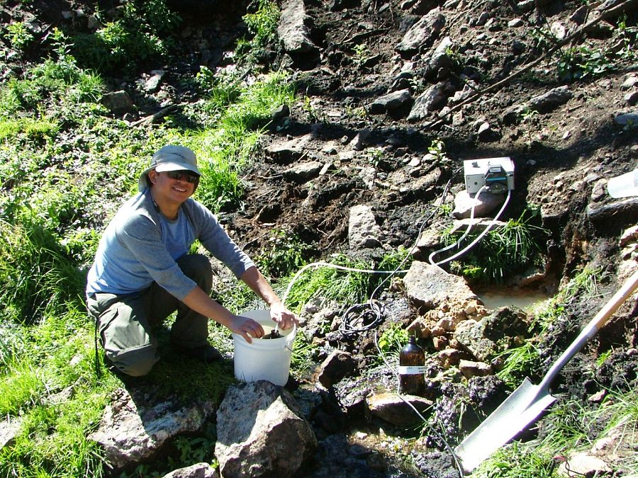
Sampling water from a spring at Redondo Peak in the Jemez Mountains in northern New Mexico
“Although we know that all the processes that take place within the critical zone are fundamental for life, scientists still don’t fully understand these processes. Therefore, it has become a priority to the Earth Science community to study them.”
– Xavier Zapata-Rios
The National Science Foundation (NSF) has funded Critical Zone Observatories (CZOs) across the country in different climatic regions – ranging from the tropics to the drier regions in the southwestern U.S. One of these observatories is the Santa Catalina Mountains and Jemez River Basin CZO (JRB-CZO) located in northern New Mexico, managed by the University of Arizona.
The critical zone network has been invaluable to me as a platform for knowledge and data exchange. The National CZO program has provided funds to support my research and enabled me to participate in research meetings and training workshops.
MY RESEARCH
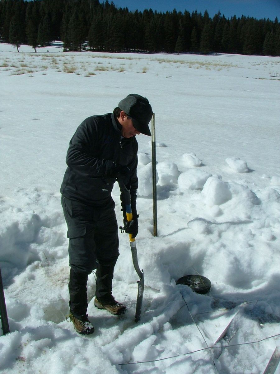
Cleaning a flume (an instrument to measure streamflow discharge) during the winter in the northern part of Redondo Peak.
In addition to mineral weathering, I have been investigating how water availability and vegetation affect critical zone structure. I investigate how water flows through the landscape and the amounts of water used by vegetation.
I am looking at how changes in climate during the last three decades (from 1984 to 2012) are affecting water availability and vegetation productivity in the western mountains of the U.S., where a lot of the water used by a growing population currently comes from.
So far, my research indicates decreasing water availability, a reduction in forest productivity, and increased vegetation water use efficiency. Overall, these changes point towards a hotter, drier, and less productive ecosystem. The results of my investigation will be published in scientific journals and they will be communicated in conferences. I firmly believe that the new knowledge and understanding of the critical zone that researchers like me produce should inform decisions about natural resources management.
:: By Linda Copman, staff writer ::
Sampling water from a spring at Redondo Peak in the Jemez Mountains in northern New Mexico
Cleaning a flume (an instrument to measure streamflow discharge) during the winter in the northern part of Redondo Peak.
News Category:
RESEARCH |
PEOPLE |
EDUCATION/OUTREACH


Discipline Tags and CZOs
Hydrology
Water Chemistry
Modeling / Computational Science
Biogeochemistry
GIS / Remote Sensing
National
Catalina-Jemez
Related News

Explore Further
