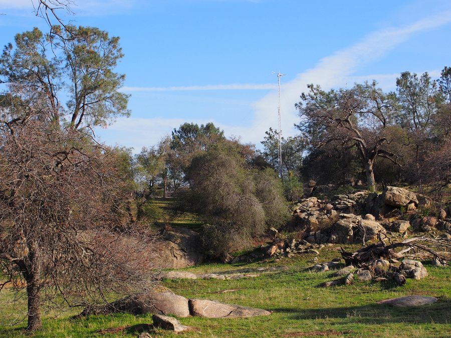
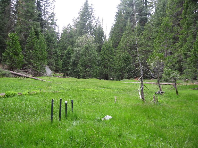
Soaproot Saddle (1000-1500 m elevation)
The Soaproot Saddle site is located within Ponderosa Pine forest at 1100 meters in elevation within the Sierra National Forest.
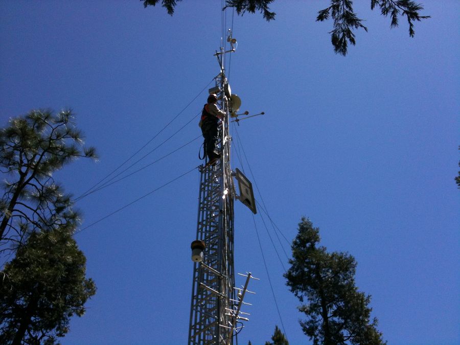
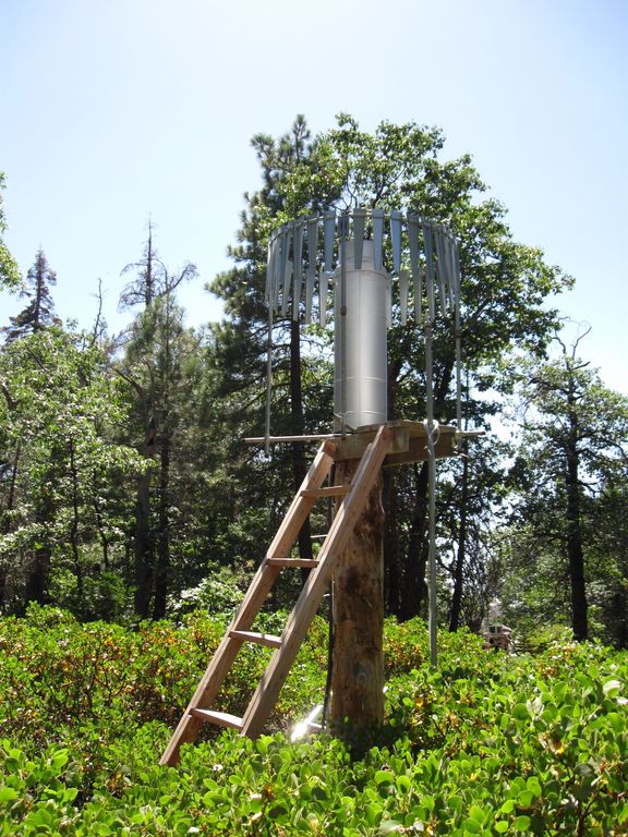
Soaproot Saddle flux tower. Photo by Erin Stacy.
-
Setting & Research
This site is part of an elevational transect that increases in altitude from west to east.
Sites include San Joaquin Experimental Range, Soaproot Saddle, Providence Creek Headwater Catchments, and Short Hair Creek, spanning a 2300-m elevation range that captures gradients in climate, regolith, soils, and vegetation. Along this transect, bedrock lithology is generally constant (intrusive felsic plutons). Ecosystems range from low-elevation oak savannah (rain-dominated) to high-elevation subalpine forest (snow-dominated). A series of eddy-covariance gas flux towers are installed at these sites (see below). Examples of transect-length work include soil and regolith depth, chemistry, and moisture characterizations; vegetation surveys; forest water-balance research; and wind-blown dust geochemistry and microbiology studies.
Climate, Landscape, Soils, Vegetation
From O'Geen et al., 2018:
The pine-oak forest site Soaproot Saddle is a 543-ha headwater catchment situated at the lower boundary of the rain–snow transition line. The site is representative of a midmontane, mixed-conifer ecosystem exhibiting high net primary productivity and strong seasonality with warm dry summers and cool wet winters. Mean Annual Temperature: 13.8°C. Mean Annual Precipitation: 805 mm yr−1.
Soils are mapped at the family level, consisting mainly of Holland (fine-loamy, mixed, semiactive, mesic Ultic Haploxeralfs) and Chaix (coarse-loamy, mixed, superactive, mesic Typic Dystroxerepts) series, which are representative of soils across a similar elevational band of the western Sierra Nevada. Holland has sandy loam surface texture and underlying Bt horizons with sandy clay loam textures. It is a highly weathered Ultic Halploxeralf. Red hues indicate abundance of hematite, which is indicative of a relatively intense degree of weathering. The Chaix series has sandy loam textures throughout the profile. This soil is found on landscape positions that shed water and sediment, thus erosion outpaces soil development.
Vegetation community comprises ponderosa pine (Pinus ponderosa Lawson & C. Lawson), California black oak (Quercus kelloggii Newberry), and incense cedar [Calocedrus decurrens (Torr.) Florin].
For additional information on climate and vegetation, see also Goulden et al., 2012.
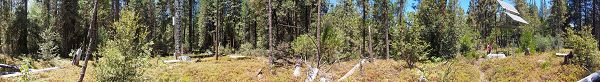
Panorama of Soaproot Saddle. July 2014, shortly before major mortality event. Photo by Erin Stacy.
A full size image is available at the Sierra Nevda / San Joaquin Hydrologic Observatory digital library (external link).
Flux Tower
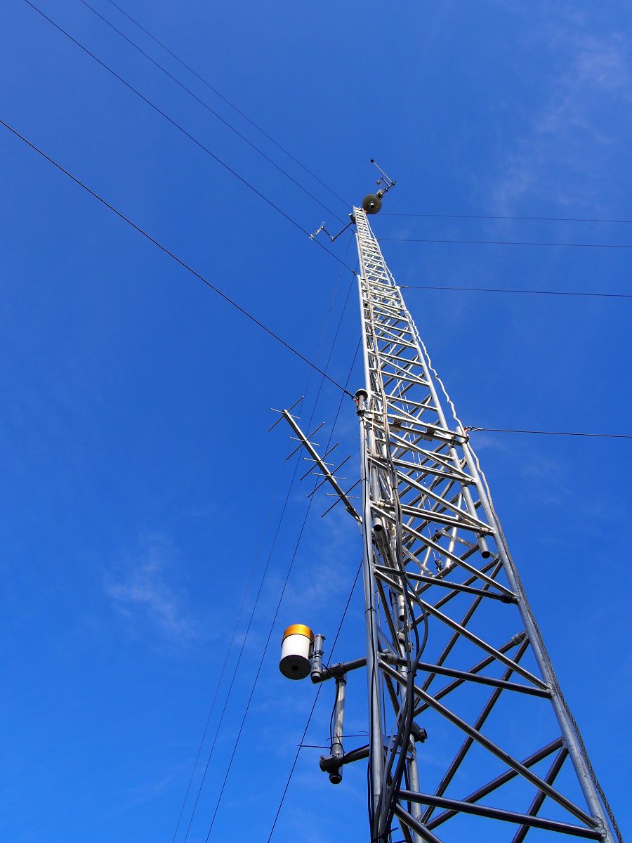
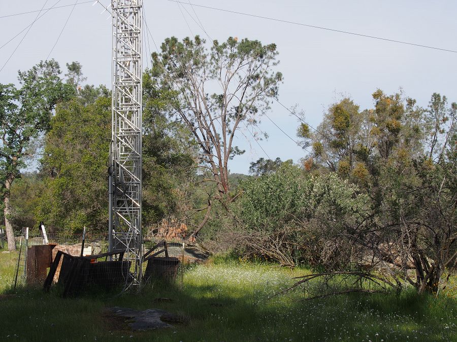
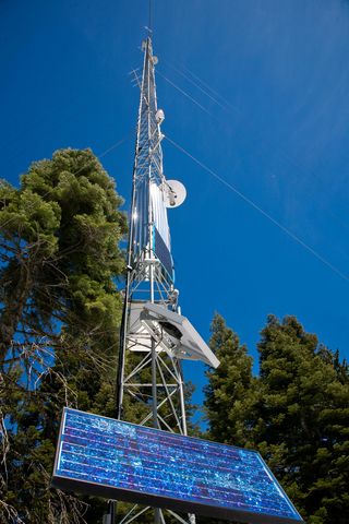
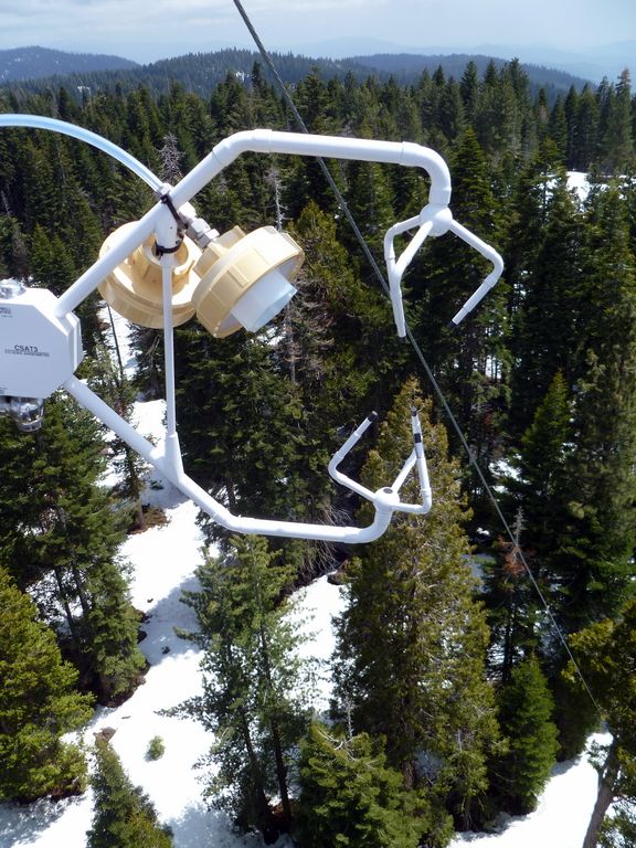
An eddy-covariance flux tower was installed at this site in September 2010. Elevation of the tower is 1160 m above sea level.
The flux tower is used to analyze the carbon and water balance of the surrounding forest. Instruments on the flux tower track changes in carbon dioxide, water vapor, air temperature, relative humidity, and other atmospheric properties.
Most of the hydrological monitoring infrastructure at Soaproot Saddle is located near the eddy flux tower.
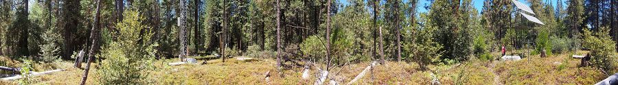
Panorama of Soaproot Saddle. July 2014, shortly before major mortality event. Photo by Erin Stacy.
A full size image is available at the Sierra Nevda / San Joaquin Hydrologic Observatory digital library (external link).
Quercus kelloggii. Photo by Erin Stacy.
-
Dynamic Map
To fully zoom into a small area, you may need to visit the "Map" button and uncheck "Terrain" view.
-
Data
Flux Tower Transect, Soaproot Saddle - Flux Tower, Meteorology (2009-2018)
10 components • Soaproot Saddle (1000-1500 m elevation) • Biology / Ecology, Climatology / Meteorology • Mike Goulden; Anne KellyNational - Flux Tower - AmeriFlux Network data (2007-2018)
14 components • Boulder Creek Watershed, Jemez River Basin, Reynolds Creek Experimental Watershed, Susquehanna Shale Hills Critical Zone Observatory, San Joaquin Experimental Range (210-520 m elevation), Soaproot Saddle (1000-1500 m elevation), Short Hair (2670 m elevation) • Climatology / Meteorology • Boulder Creek Critical Zone Observatory; Catalina-Jemez Critical Zone Observatory; Reynolds Creek Critical Zone Observatory; Shale Hills Critical Zone Observatory; Southern Sierra Critical Zone Observatory -
Photos
SSCZO - Flux Towers

At the San Joaquin Experimental Range (SJER), the SSCZO flux tower sits on a small rise in the oak-pine woodland. This is the lowest site of the flux-tower transect, with the tower installed at 405 m in elevation.

Fully erected, the SJER tower stands about 29 m tall (~95 ft).

However, the tower also telescopes down for maintenance.

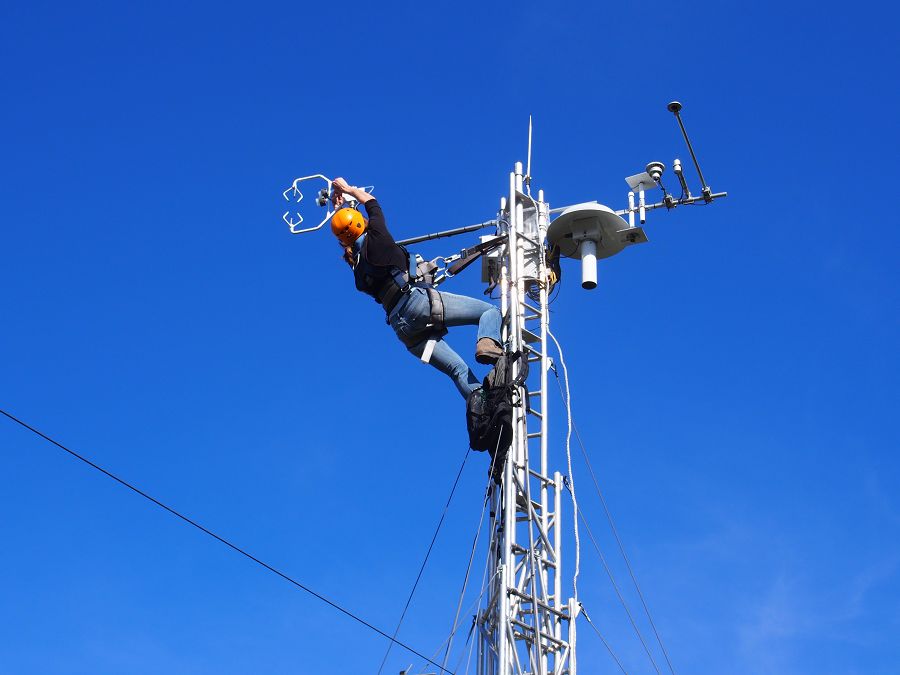
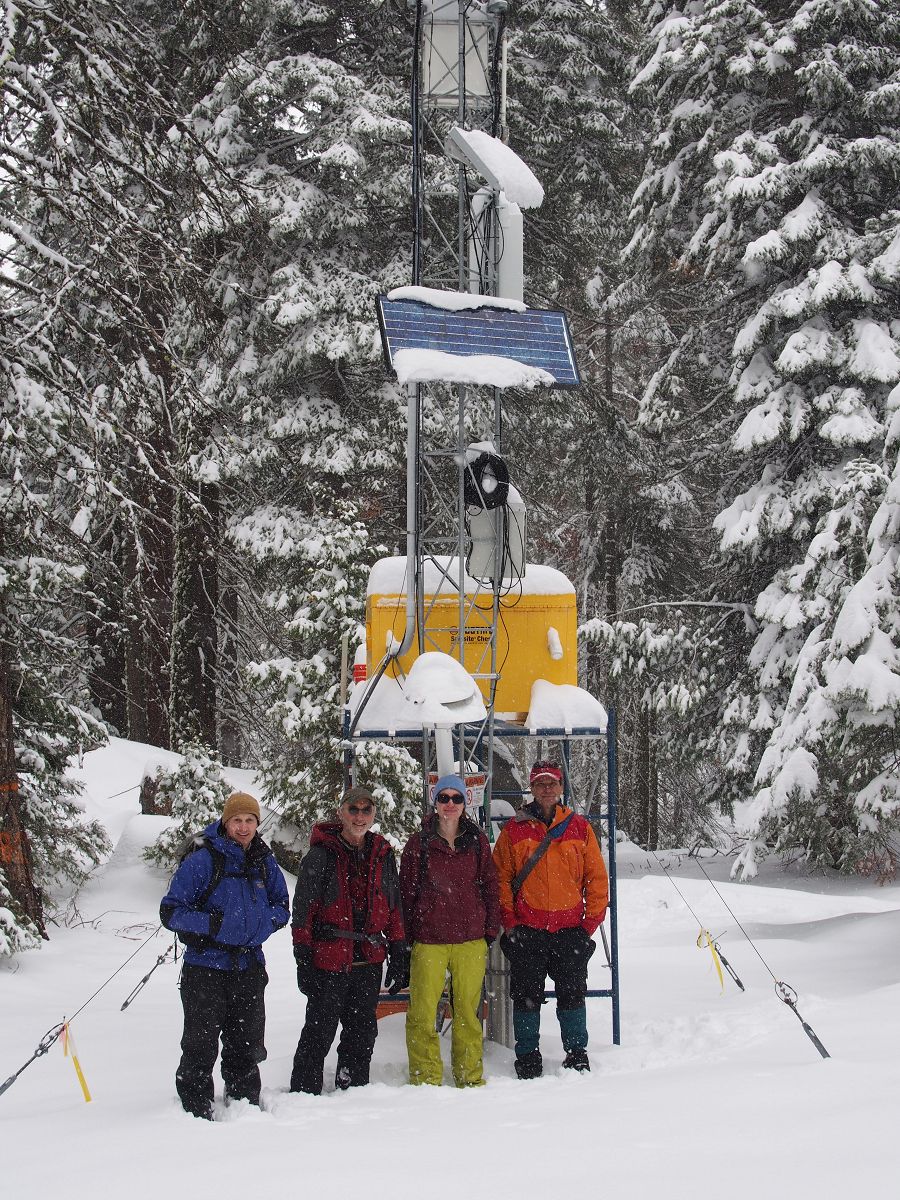
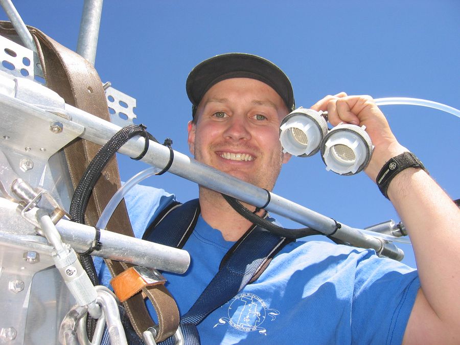
Erin Stacy (UC Merced) exchanges the filters on the gas intake.

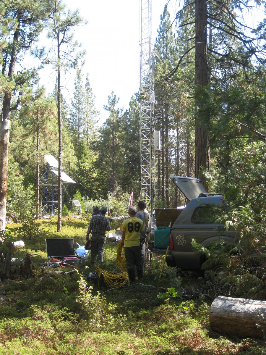
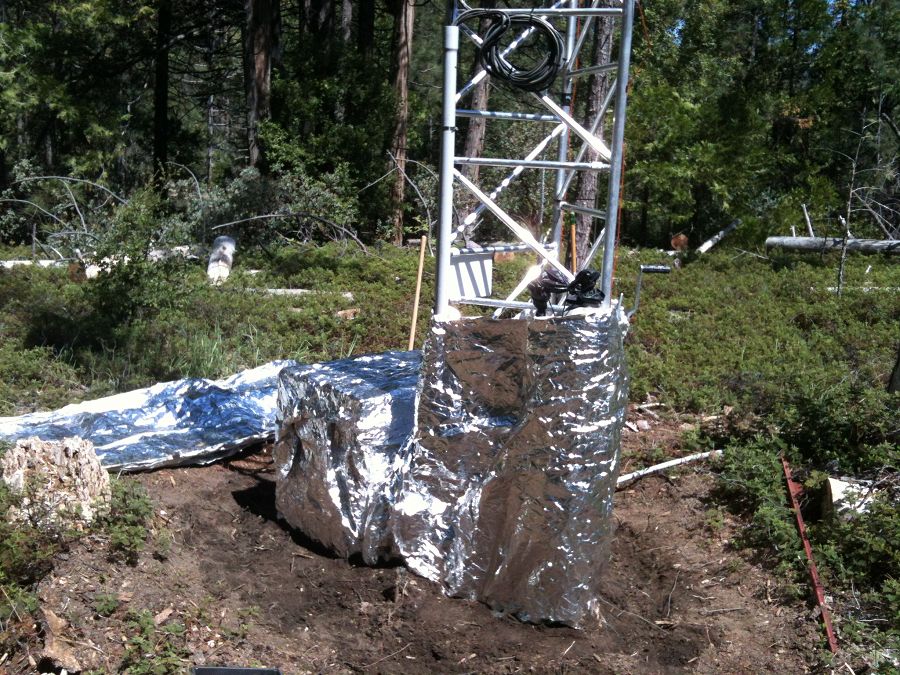
The flux tower at Soaproot Saddle stands in a small forest clearing. The tower, approximately 39 m tall (125-130 ft), is surrounded by a mix of Ponderosa pine and oak. Here the WyCEHG (Wyoming) sets out equipment to conduct geophysical surveys in the tower footprint.

Defensive measures were taken for the Soaproot Saddle tower in advance of a prescribed burn. The Clarence Burn burned up to a nearby firebreak in January 2014, but did not burn the area immediately around the tower

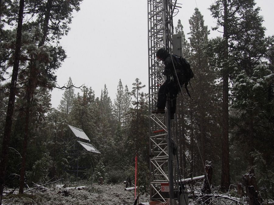
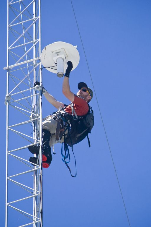
Matt Meadows (Field Manager, UC Merced) begins the climb for routine tower maintenance in a late January storm, 2014.

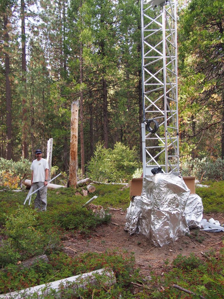
Pete Hartsough (collaborator, UC Davis) stands next to the Soaproot tower, September 2013, with core tubes in hand. A large drilling unit cored soil and saprolite to a depth of ~4 m on most attempts at this site.

The P301 tower is the tallest of the four towers at 50 m (160 ft), plus a lightning rod. It stands near the top of the Providence catchments at 2015 m in elevation.

The P301 tower near the end of the 2014 winter.

Matt Meadows (Field Manager, UC Merced) shows off the filter intakes at the top of the P301 tower.
An eddy covariance flux tower is located near the top of the P301 watershed. Instruments collect data on temperature, relative humidity, and fluxes of carbon dioxide and water vapor to determine the physiological responses of the site (for example, how photosynthesis increases with light) and summed over a year to determine the carbon balance of a site (how much carbon it is gaining or losing). Three other flux towers have been instrumented at different elevations with the Sierras including the San Joaquin River, Soaproot, and Short Hair Creek.
This west-east transect spans elevation gradient from 400 m to 2700 m. The change in elevation is accompanied by a slight increase in precipitation, but the main change is a shift from rain-dominated precipitation to snow-dominated precipitation. The climatic shift plays out in other ways as well. At lower elevations, high temperatures and low water availability limit evapotranspiration by vegetation. Meanwhile, forest activity (evapotranspiration) at higher elevations is limited by cold winter temperatures. There is a sweet spot at middle elevations of yera-round evapotranspiration and forest activity.
Photo galleries of each flux tower are available: San Joaquin Experimental Range; Soaproot Saddle; Providence subcatchment P301; and Short Hair Creek.
SSCZO - Instruments

Matt Meadows (Field Manager, UC Merced) checks on an instrument on the P301 flux tower.

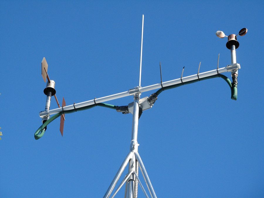
Anemometer measuring wind speed and direction.

Ultrasonic anemometer on the P301 flux tower measures wind speed and direction in 3 dimensions. Data is connected to gas samples taken every quarter second at the filters on the left (beige circles).

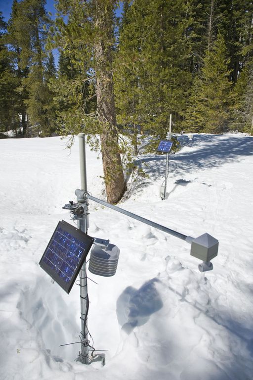
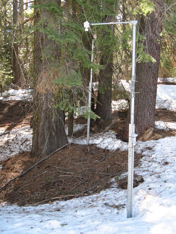
Instrument cluster featuring a relative humidity sensor, ultrasonic snow depth sensor, co-located soil moisture and temperature sensors at different depths, and a solar panel to power it all.

Instrument cluster at the P303 Upper Met site with ultrasonic snow depth sensor and co-located soil moisture and temperature sensors.

Instrument cluster at the P300 Lower Met site with ultrasonic snow depth sensor and co-located soil moisture and temperature sensors. The pole also psupports a solar panel, and an enclosure with a backup power supply and the data logger.

Instruments installed in the P301 meadows include wells and piezometers, at different locations to assess surface and groundwater flows.
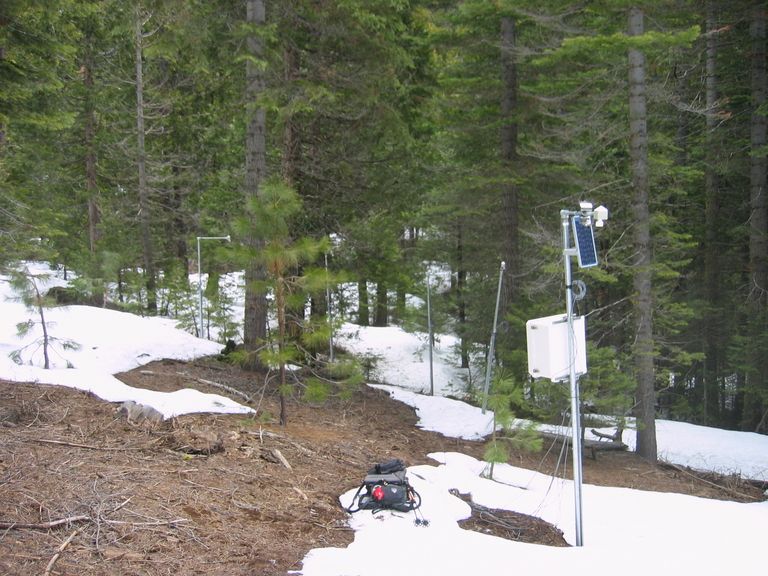
Several clusters of instruments measure the water balance. These clusters each contain soil moisture and temperature sensors, an air temperature sensor, relative humidity sensor, and an ultrasonic snow depth sensor.
These water balance instruments are clustered at two different elevations, with north, flat, and south facing aspects. Conditions are measured under canopy, at drip edge, and at open canopy. Water balance measurements are also made in the wireless sensor network that stretches along the P301 meadow.

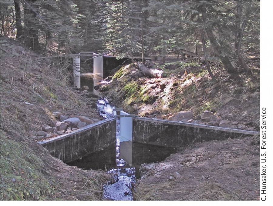
The eight subcatchments and two integrating catchments in the KREW project have flumes to measures discharge.

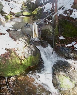
The large KREW flumes are complemented by small flumes for low flow.

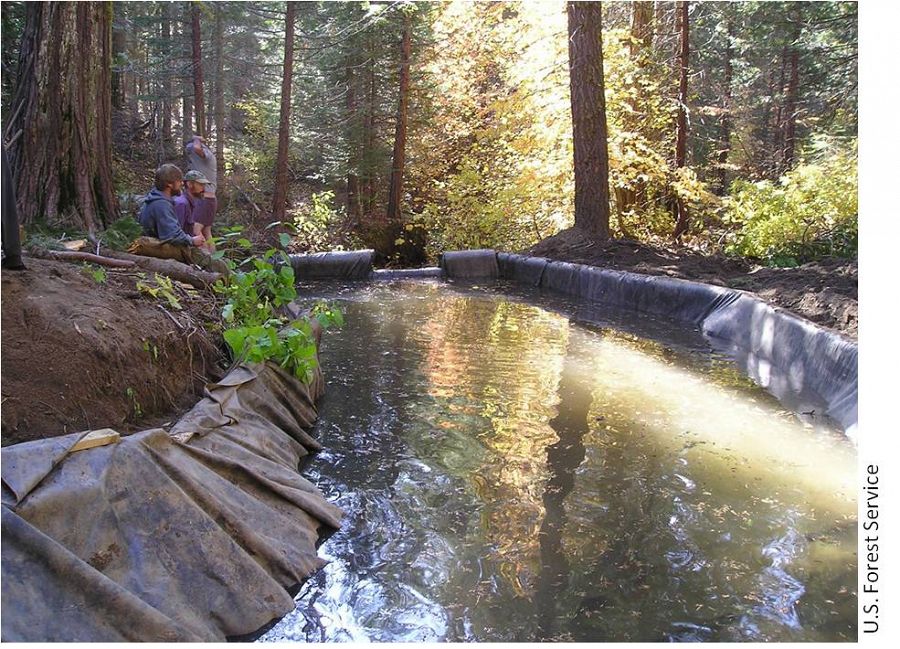
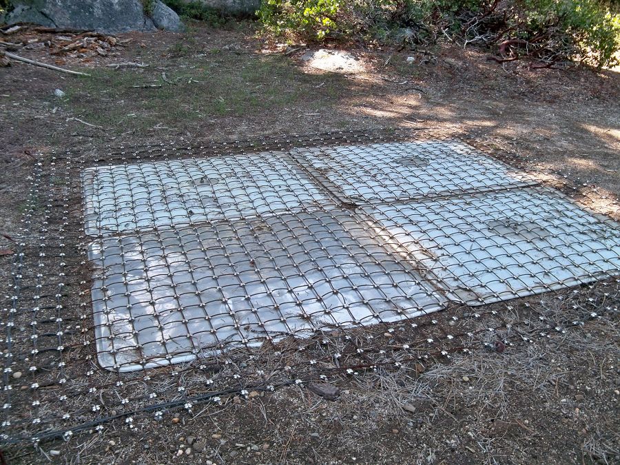
Each of those eight KREW subcatchments also has a plastic-lined settling basin to capture sediment.

There are two meteorological stations in the Providence catchment - one at the lower elevation range and one near the crest. Each meteorological station has a rain gauge.

At the upper meteorological station, there is a snow pillow. This snow pillow tracks the weight of snow above it. Combined with the snow depth measurements, the two permit the calculation of amount of water in the snow pack.

Another view of the snow pillow.
Hundreds of instruments and sensors have been deployed in the primary SSCZO research site of the Providence Creek watershed as well as in Wolverton basin. Additional SSCZO flux towers and instruments have also been installed at the San Joaquin Experimental Range, Soaproot Saddle, and Short Hair Creek.
Explore more photos of the intstuments and sensors used by SSCZO.
-
Geology
Soaproot Saddle, 1100 m elevation
Quad: Shaver LakeBass Lake Tonalite (Kbl, formerly Tonalite of Blue Canyon)
“Medium-grained biotite-hornblende tonalite facies characterized by large euhedral hornblende prisms” (Lockwood and Bateman 1976). “Typical Bass Lake Tonalite is medium-gray, medium-grained, equigranular tonalite with a conspicuous foliation that is shown both by the preferred orientation of minerals, chiefly hornblended and biotite, and by crudely lens-shaped mafic inclusions… The color index … for most samples is 10 to 30” (Bateman 1992).
SJER, 400 m elevation
Quad: Millerton Lake
Ward Mountain Trondhjemite (Kw) (formerly Leucotonalite of Ward Mountain)P301, 2000 m elevation
Quad: Huntington Lake
Dinkey Creek Granodiorite (Kdc, formerly Granodiorite of Dinkey Creek)Short Hair Creek, 2700 m elevation
Quad: Blackcap Mountain
Aplite and felsic quartz monzonite dikes (Kap)
Granodiorite of Dinkey Creek (Kdc, see description for P301)
Explore Further
