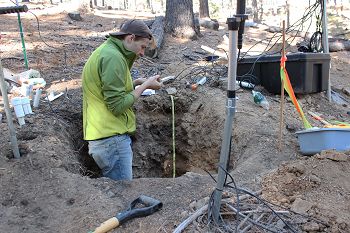
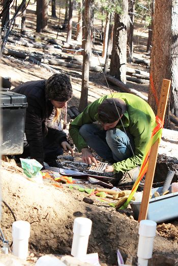
Critical Zone Profile - CHRISTOPHER SHEPARD (soil researcher, PhD student)
My research provides insights into how soil properties change across watersheds and at different depths. The primary goal of my research is to find new ways to map how soils change across a watershed using a technique called digital soil mapping, or DSM. We can apply DSM techniques and gain insights into how certain soil properties are distributed across a watershed or across an agricultural field. While we often think of agricultural fields as being relatively uniform, in reality, the soil properties from one yard to the next may be quite different. If a farmer had a better understanding of which nutrients were available across her field, she could use less fertilizer, potentially saving money as well as limiting pollution.
“It is incredibly difficult to understand how water moves through a watershed without knowing something about the soil, and it is very difficult to understand the distribution of soil properties without having an understanding of water movement.” – Christopher Shepard
My research is focused on a small watershed in the Santa Catalina Mountains, about 30 miles outside of Tucson, Arizona. The watershed consists of about 15 acres and is covered with Ponderosa Pine and Douglas Fir. The primary goal of my research is to find new ways to map how soils change across this small watershed. Digital soil mapping (DSM) is a technique that takes minimal information about a watershed to develop accurate high-resolution soil maps which include soil properties that have not actually been observed.
First, we describe a number of soil pits across the watershed. We look at soil properties like texture, or how much sand, silt, and clay are present in the soil, the depth of the soil, and the presence of elements, like calcium and potassium, and minerals in the soil. Then we collect other environmental information about the watershed, such as how the elevation and topography change and how much sunlight the watershed receives in the course of a year. By comparing how particular soil properties coincide with other environmental variables, we can calculate where particular soil properties will show up in the watershed.
DSM provides new insight into how the soil changes across the watershed. For example, it can tell us where clay might be present, and clay has a major influence on how much water can be stored in the soil of the watershed. By understanding where the greatest amount of clay exists, we can better predict how water might move through the soil in the watershed. DSM can also tell us where certain chemical elements might be most prevalent. Certain elements like calcium and magnesium are nutrients for plants, and their presence or absence can tell us about how nutrients cycle through the watershed. The same techniques could be applied to agricultural fields or to rangelands, especially in the American West.
Critical zone research is important because it can tell us how the different “spheres” of the Earth’s surface interact.
The critical zone occurs at the intersection of the biosphere, hydrosphere, and lithosphere: studying the critical zone allows us to connect these spheres that often appear separate and disparate on the Earth’s surface. As scientists we need an understanding of all of these spheres to understand how the Earth “works,” and studying the critical zone is how we gain such an understanding. The CZO program has given me the opportunity to work with researchers from very diverse fields, even within my own Jemez-Catalina CZO site.
My research requires me to use several computer programs at a very high level. Learning all these new programs has been a slow process. Sometimes this involves sitting at the computer for hours and trying to figure something out, and sometimes this process can take weeks. So patience is key to my work.
:: By Linda Copman, staff writer ::
Credit: Shipherd Reed, Flandrau Science Center, University of Arizona.
Credit: Shipherd Reed, Flandrau Science Center, University of Arizona.
News Category:
RESEARCH |
PEOPLE |
EDUCATION/OUTREACH
Related News
Explore Further


