Rutgers-Newark Geophysical Society visits for Christina River Basin CZO forest survey
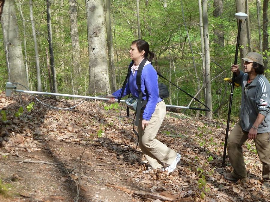
On April 18-19, 2012, colleagues from Rutgers University, Temple University, and City University of New York visited the Christina River Basin CZO study area along Spring Brook in the Brandywine Conservancy's Laurels Preserve. Spring Brook is the CRB-CZO's "forest" endmember, a 1st-order catchment that is 100% in mature forest. The visiting scientists performed electrical resistivity/induced polarization, ground penetrating radar, and nuclear magnetic resonance surveys.
News Category:
RESEARCH |
DATA |
EDUCATION/OUTREACH
Photos
CRB-CZO 2012-04-19 Geophysical Survey by Rutgers, Temple, CUNY
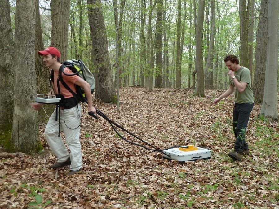
Temple undergraduate Derek Lichtner collects ground penetrating radar data. Temple graduate student Andrew Bentley assists.
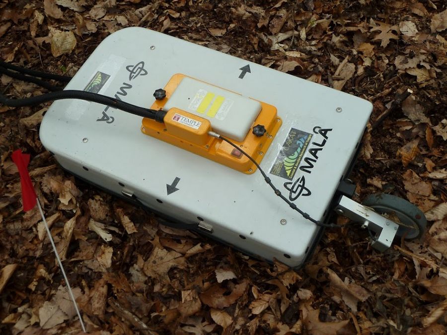
250 MHz radar antenna
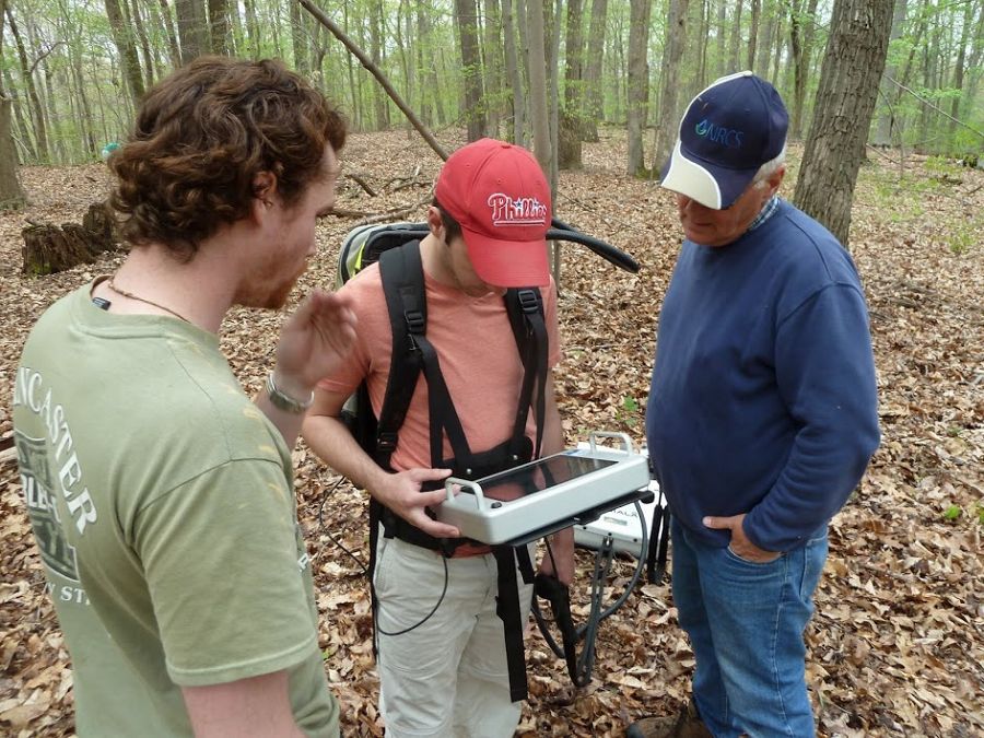
Left to right: Temple students Andrew Bentley and Derek Lichtner examine radar data with Dr. Jim Doolittle of the USDA-NRCS
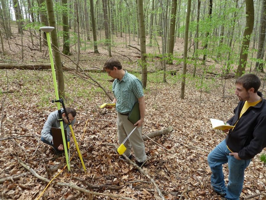
Dr. Nyquist (Temple) collecting GPS data with Temple undergraduate Andrew Fedetz and graduate student Justin Roth (with field notebook).
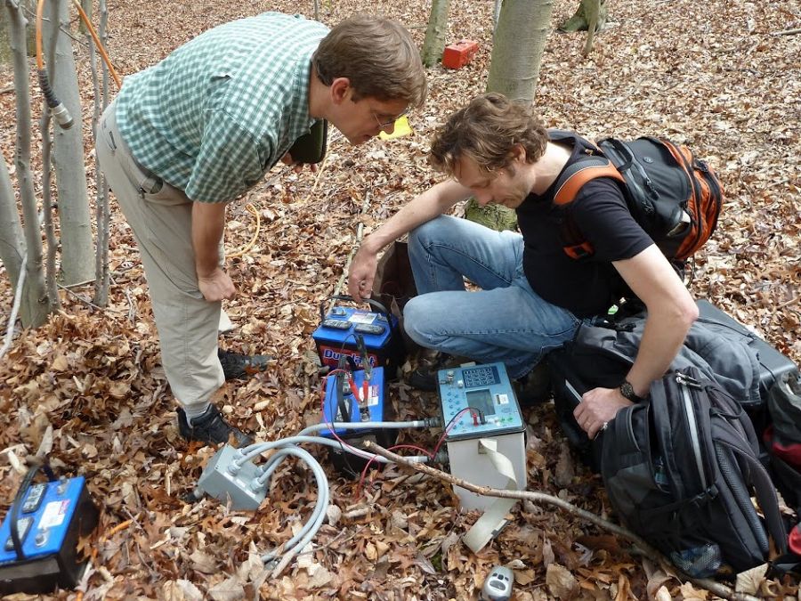
Dr. Jonathan Nyquist from Temple (standing) and Dr. Lee Slater (Rutgers).
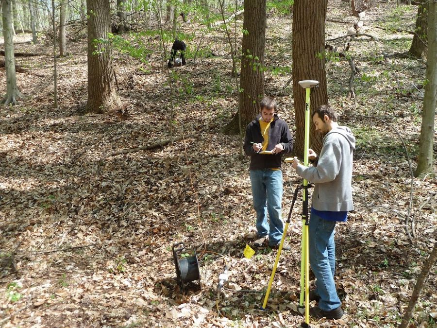
Temple students Justin Roth and Andrew Fedetz collecting GPS data.
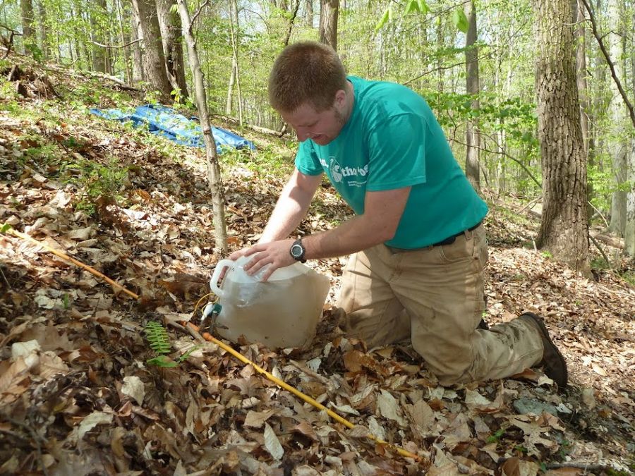
Temple graduate student Logan Wiest waters the ground near the electrodes to improve electrical contact for resistivity soundings.
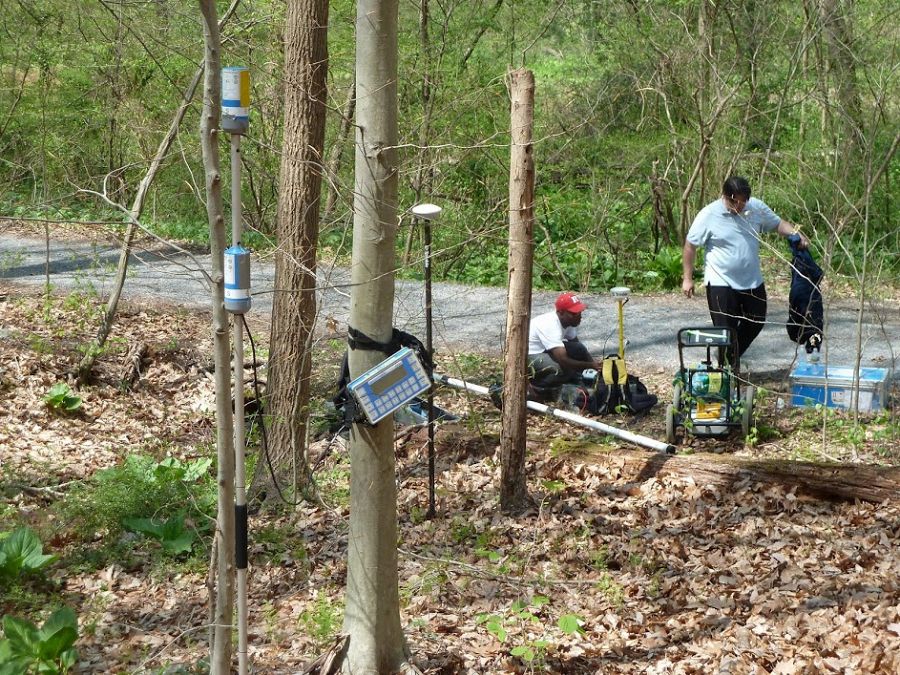
Magnetic base station
Rutgers' Dr. Kristina Keating and Dr. Dimitris Ntarlagiannis collecting magnetic data with GPS positioning.
On April 18-19, 2012, visiting scientists and students from Rutgers University, Temple University, and City University of New York visited the Christina River Basin CZO to perform geophysical surveys of the Spring Brook field area in the Brandywine Conservancy's Laurels Preserve. Photos: Anthony Aufdenkampe (Stroud)
People Involved
CZO
-

Christina, INVESTIGATOR
-
Christina, COLLABORATOR
-

Christina, Shale Hills, COLLABORATOR
-
Christina, INVESTIGATOR

Explore Further
