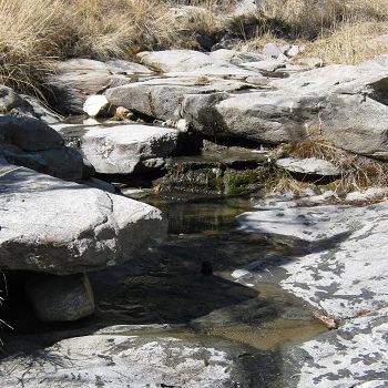
Oracle Ridge (Mid-Elevation)
The Oracle Ridge field site was chosen as a mid-elevation field site for the Santa Catalina Mountains to complement the high elevation Marshall Gulch site and low-elevation desert site.
1.09 km2 Area
2064 - 2388 m Elev
11.9 °C Temp
840 mm Precip
Parent Field Area:
Santa Catalina Mountains ▲
Oracle Ridge Creek.
Land Use
forest land
-
Setting & Research
The Oracle Ridge field site was chosen as a mid-elevation field site for the Santa Catalina Mountains to complement the high elevation Marshall Gulch field site at 2400 meters and the lower elevation Biosphere 2 Desert field site at 1100 meters. The site consists of an upper, middle, and lower sub-site which range from 2000 - 2300 meters. The catchment drainage area is 1.09 km2. The catchment is east oriented with slopes between 7 and 44 degrees. The vegetation transitions seen across this site is ponderosa pine to pinyon-juniper-oak transition.
-
Overview Maps
Map Overlays
-
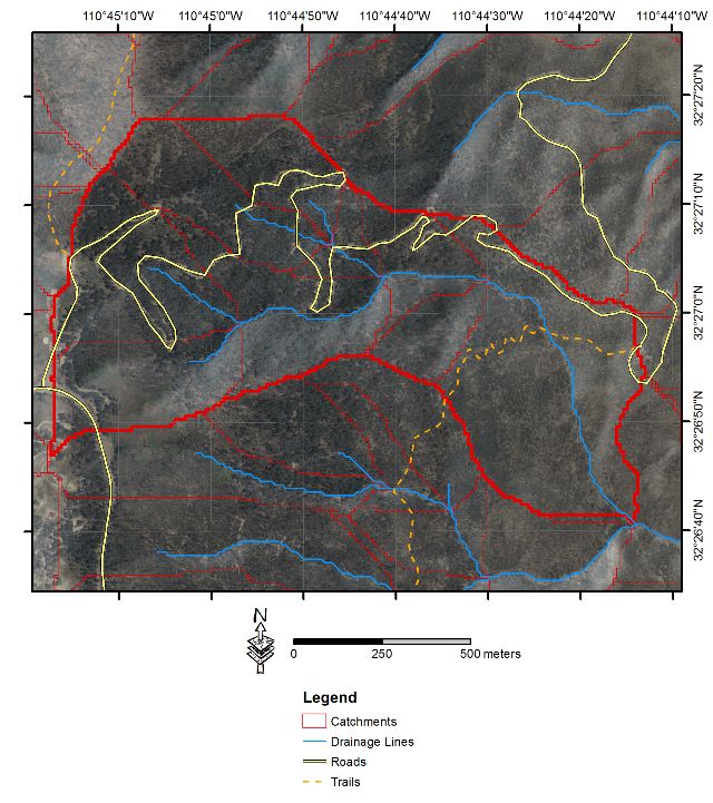
Oracle Ridge satellite view.
-
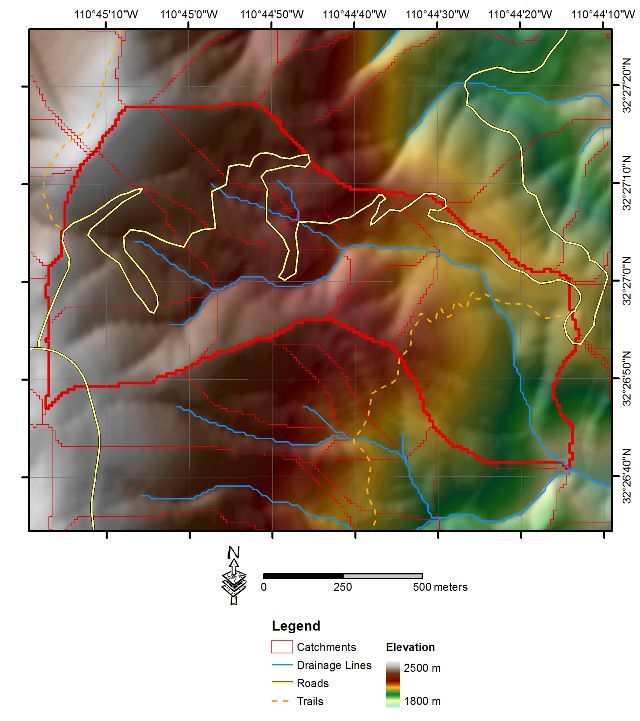
Oracle Ridge elevation map.
-
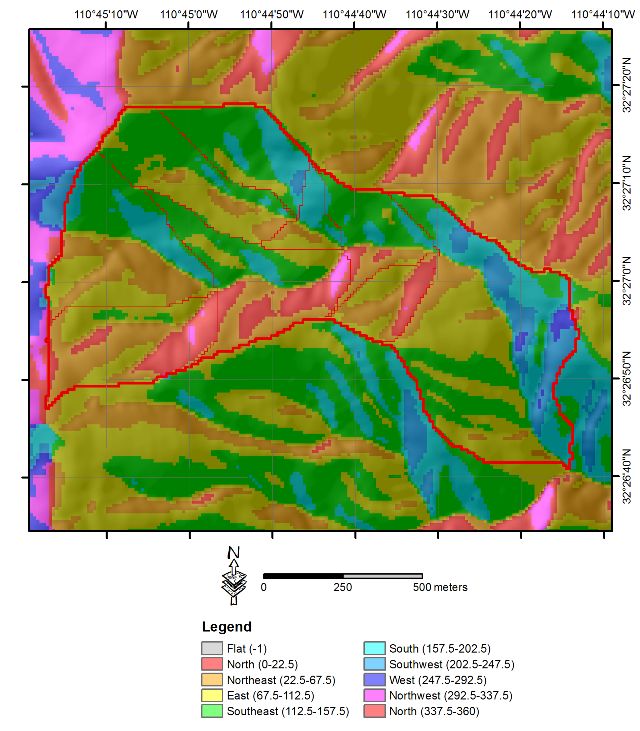
Oracle Ridge aspect map.
-
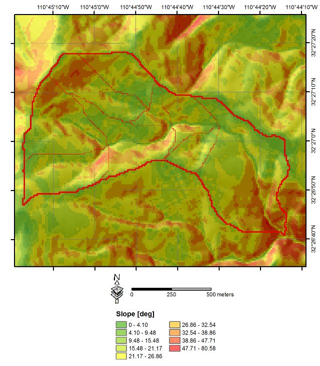
Oracle Ridge slope map.
-
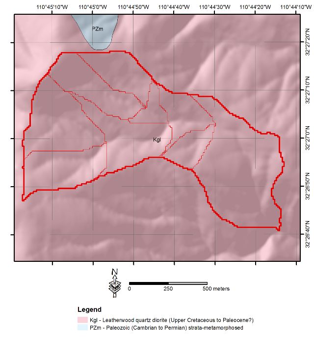
Oracle Ridge geology map.
-
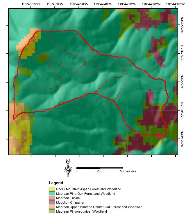
Oracle Ridge vegetation map.
-
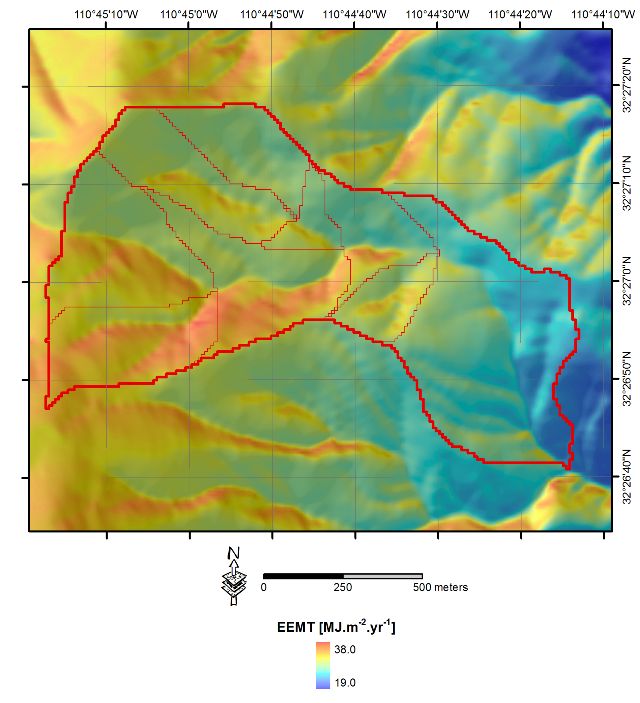
Oracle Ridge EEMT map.
-
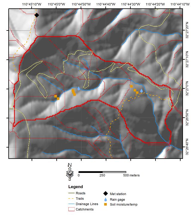
Oracle Ridge instrumentation map.
-
-
Dynamic Map
To fully zoom into a small area, you may need to visit the "Map" button and uncheck "Terrain" view.
-
Data
Oracle Ridge - Meteorology (2010-2019)
11 components • Oracle Ridge (Mid-Elevation) • Climatology / Meteorology • Peter Troch; Nate AbramsonOracle Ridge - Precipitation (2010-2019)
12 components • Oracle Ridge (Mid-Elevation) • Climatology / Meteorology • Peter Troch; Nate AbramsonOracle Ridge - Soil Moisture, Soil Temperature (2010-2019)
21 components • Oracle Ridge (Mid-Elevation) • Soil Science / Pedology • Peter Troch; Nate AbramsonOracle Ridge - Streamflow / Discharge (2011-2018)
17 components • Oracle Ridge (Mid-Elevation) • Hydrology • Peter Troch; Nate Abramson
Explore Further
