Stakeholders & Resource Managers
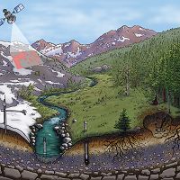
Boulder Creek CZO works with federal and local agencies to enable science that can serve resource management decision-making.
Our field sites in the Colorado Front Range lie within lands managed by Boulder County Parks and Open Space, the City of Boulder, and the US Forest Service. Research on water quality, wildfire impacts, and slope stability has implications for land managers.
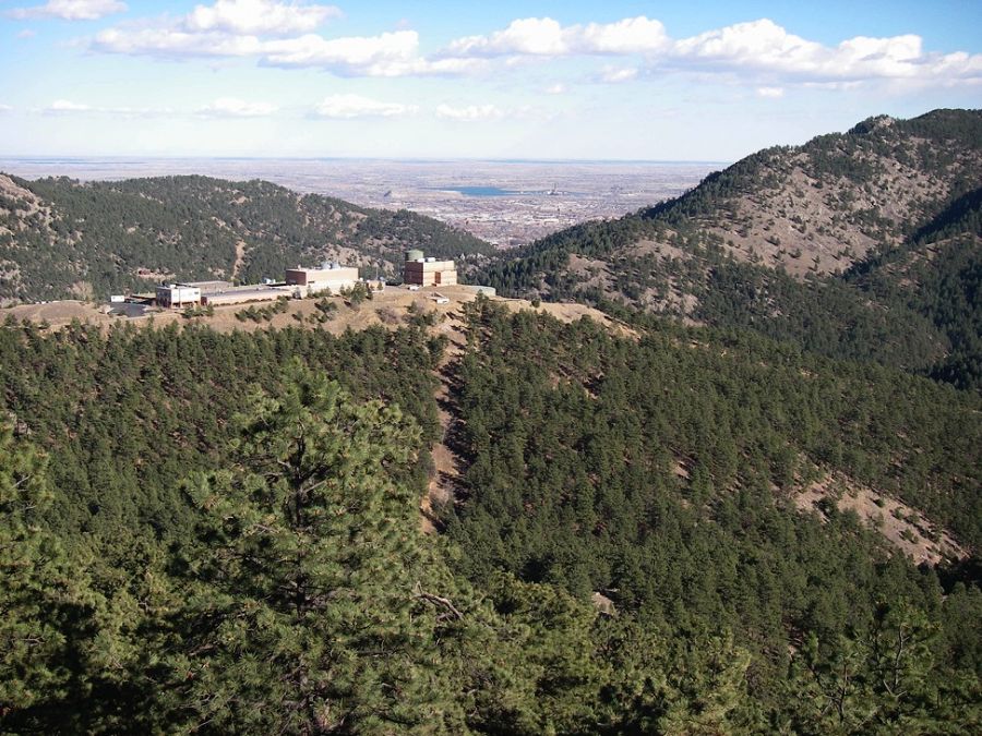
Betasso Treatment Plant
News:
Sheila Murphy’s research on water quality following the Fourmile Canyon wildfire led to recognition of storms in affecting water quality for years after a fire. Murphy, SF, Writer, JH, McClesky, RB, and Martin, DA (2015): The role of precipitation type, intensity, and spatial distribution in source water quality after wildfire. Environmental Research Letters 10: 1-13, doi: 10.1088/1748-9326/10/8/084007.
Suzanne Anderson spoke in the Boulder County Flood Seminar Series on Sept 15, 2014, at Lyons Middle/Senior High School. Her presentation was titled “Flood landscape: The physical geography of the Front Range and the 2013 storm”.
Suzanne Anderson gave a presentation to rangers and managers at Boulder County Parks and Open Space on March 12, 2013. Her presentation was titled “Boulder Creek CZO: Project goals and work in Betasso Open Space”.
Gallery
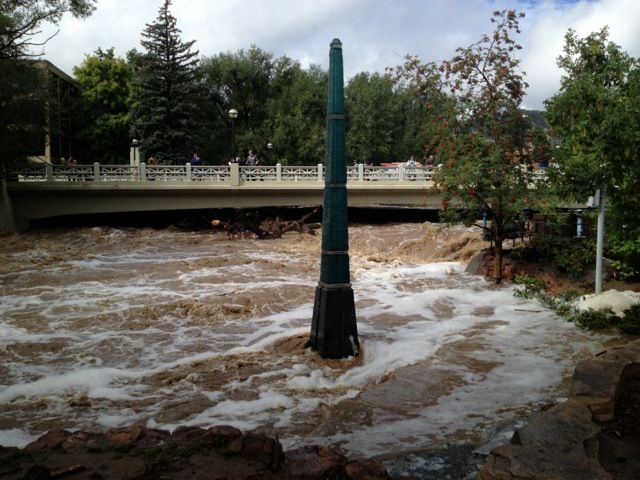
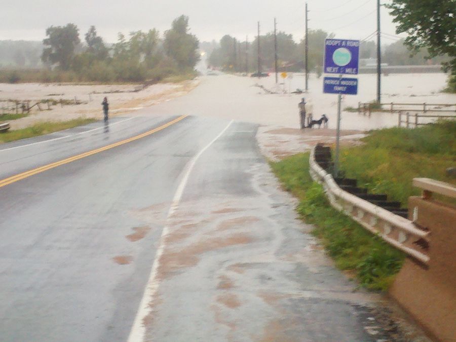
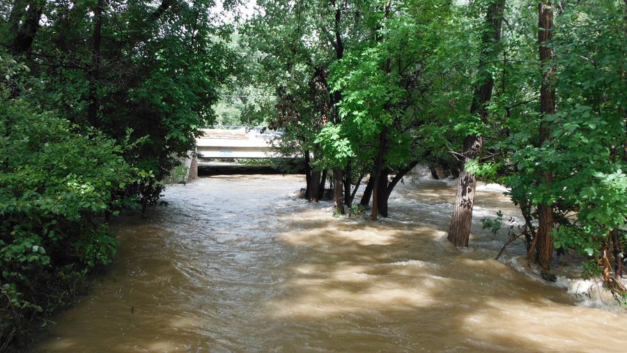
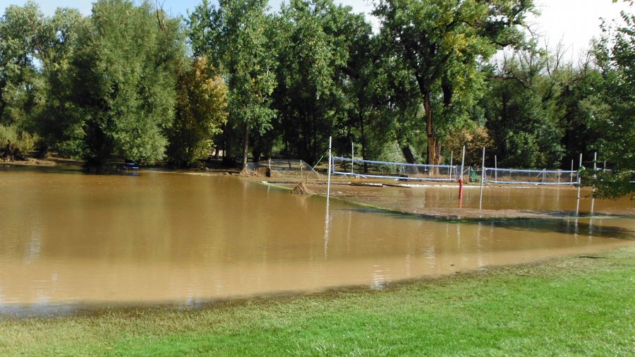
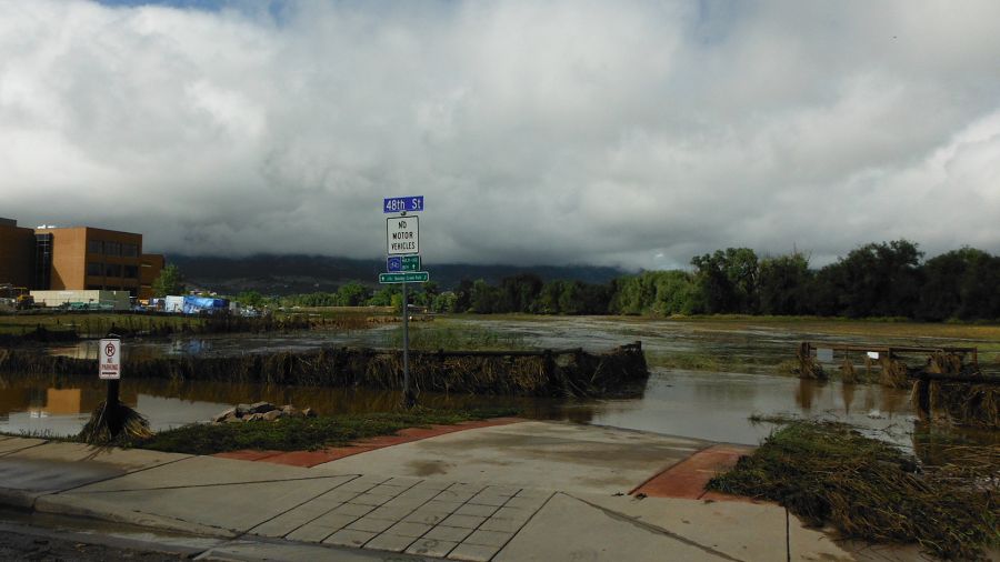
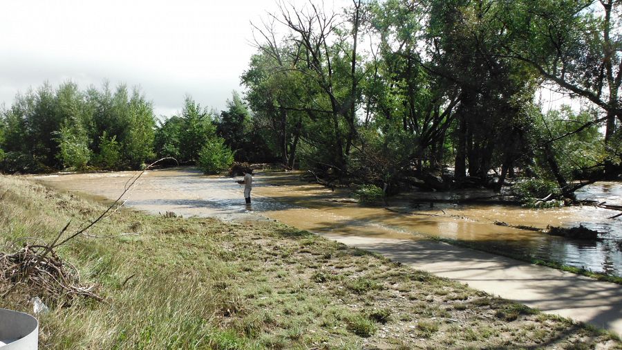
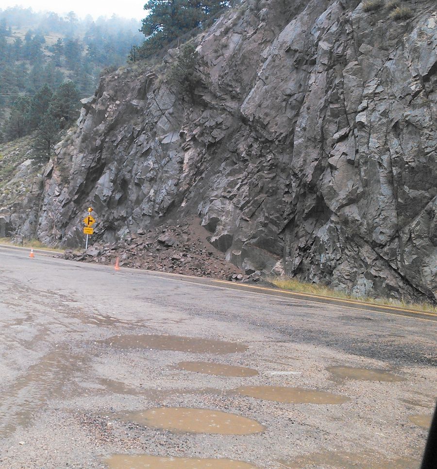
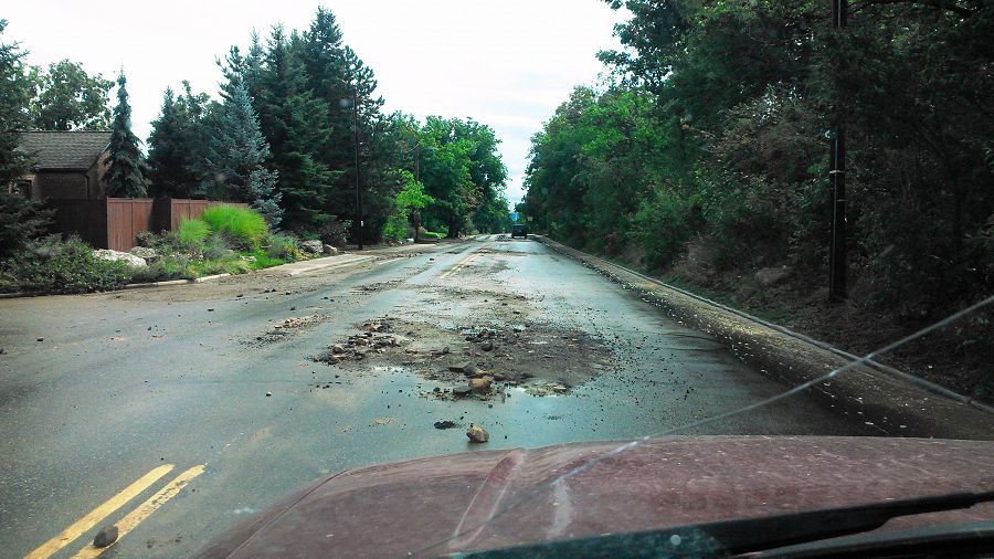
Boulder creek catastrophic flooding

Failure at about Forest St. from North Boulder Park (photo credit: Suzanne Anderson)
The Gilbert White Memorial Flood marker (top of the black base is the 50 year flood level). (photo credit: Suzanne Anderson)
Pictures of the flow upstream and downstream of the bridge and the flooding on 75th east of the walden ponds. (photo credit: Harihar Rajaram)
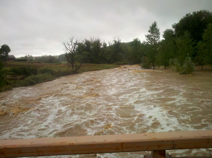
Pictures of the flow upstream and downstream of the bridge and the flooding on 75th east of the walden ponds. (photo credit: Harihar Rajaram)
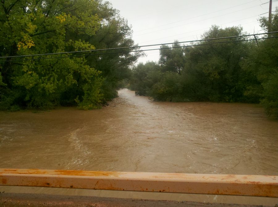
Pictures of the flow upstream and downstream of the bridge and the flooding on 75th east of the walden ponds. (photo credit: Harihar Rajaram)
Photos taken on a trail run this morning - base of Flatiron 1, above Chatauqua. Photo Noah Fierer
Photos taken on a trail run this morning - base of Flatiron 1, above Chatauqua. Photo Noah Fierer
Photos taken on a trail run this morning - base of Flatiron 1, above Chatauqua. Photo Noah Fierer
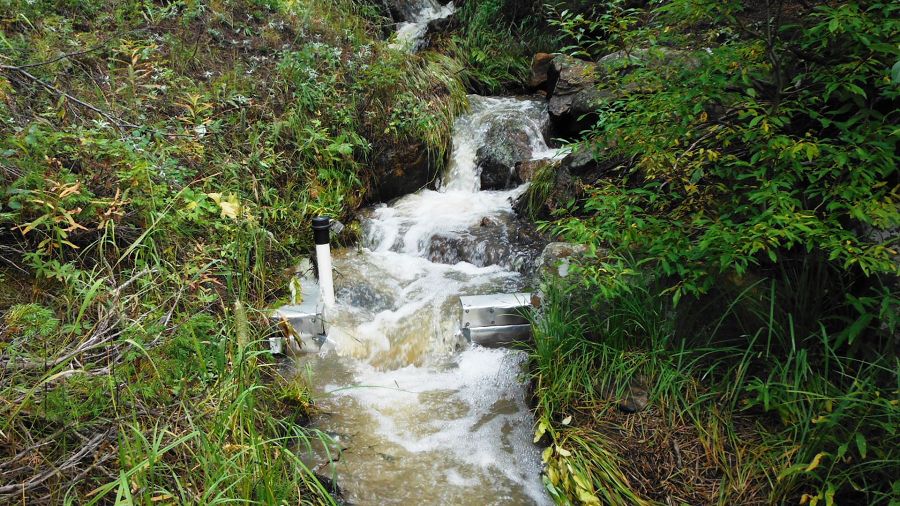
Stream gauge at Lower Gordon Gulch. Photo nate Rock
Stream gauge at Lower Gordon Gulch. Photo nate Rock
Stream gauge at Lower Gordon Gulch. Photo nate Rock
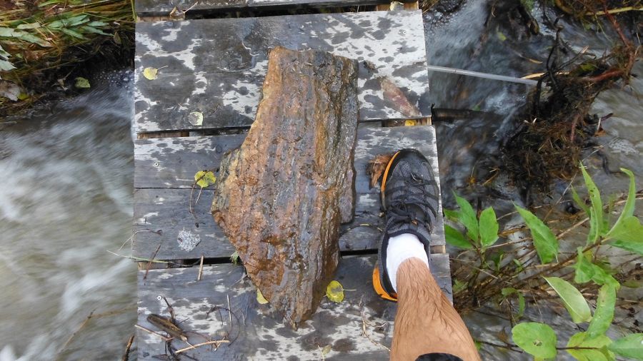
Large rock removed out of the debris stuck under the bridge! Photo nate Rock
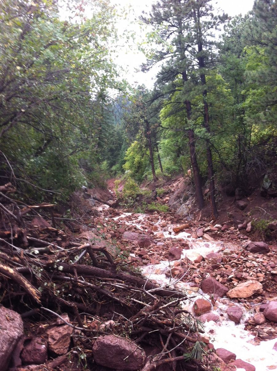
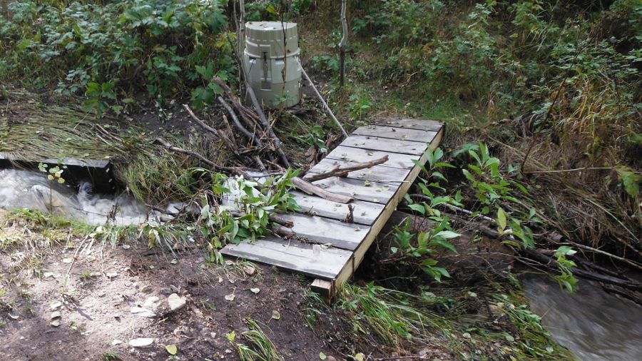
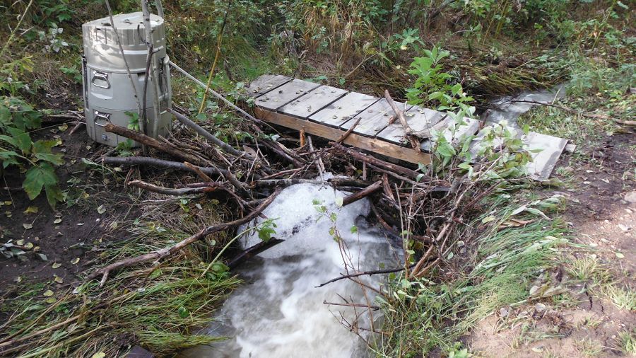
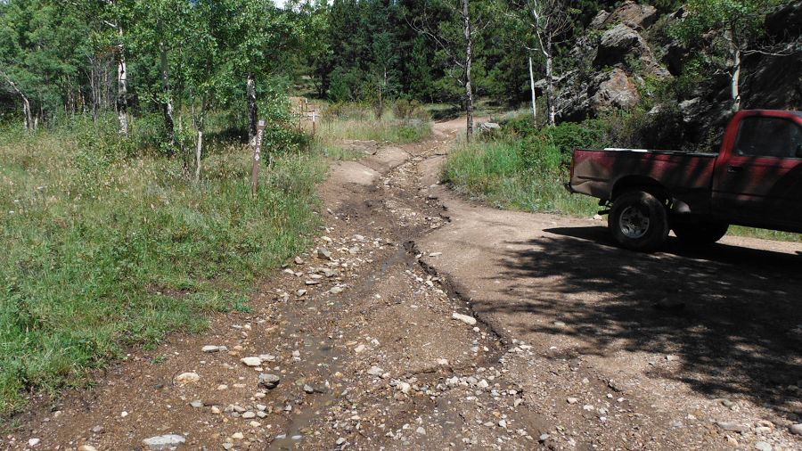
Post storm at Upper Gordon ISCO washed 15 m Upper Gordon Gulch. Photo Nate Rock
Post storm at Upper Gordon ISCO washed 15 m Upper Gordon Gulch. Photo Nate Rock
Post storm at Upper Gordon Gulch Stream Gauge
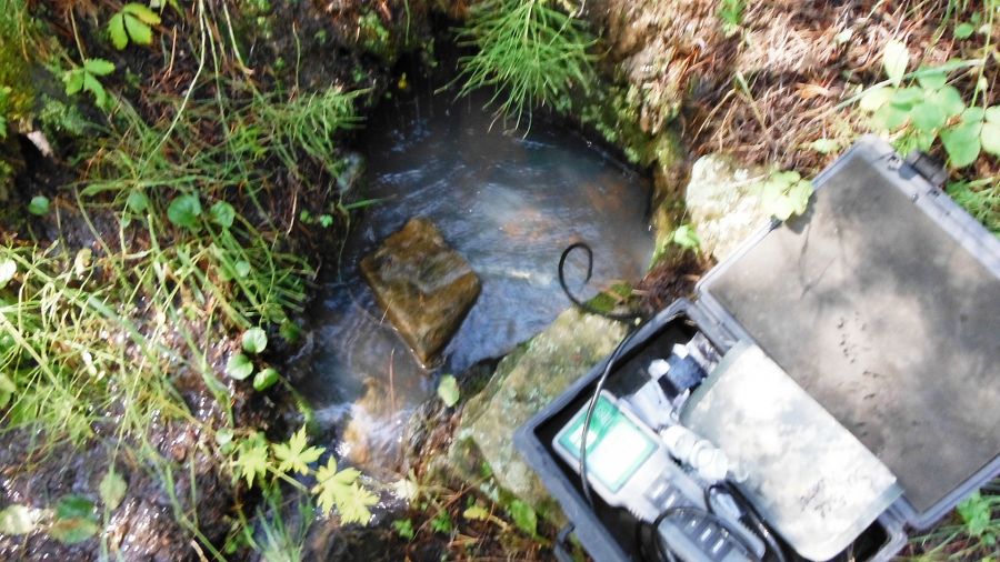
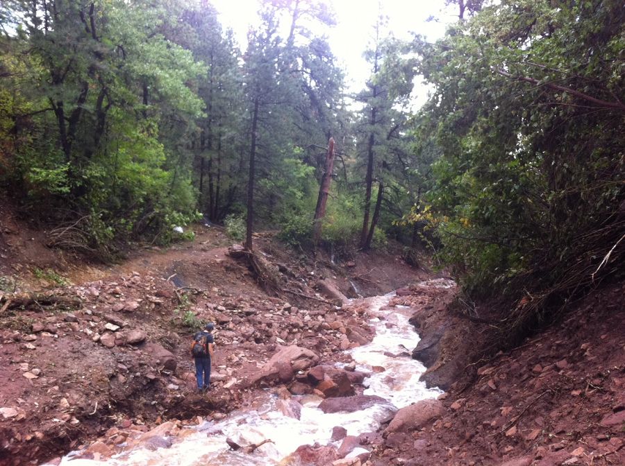
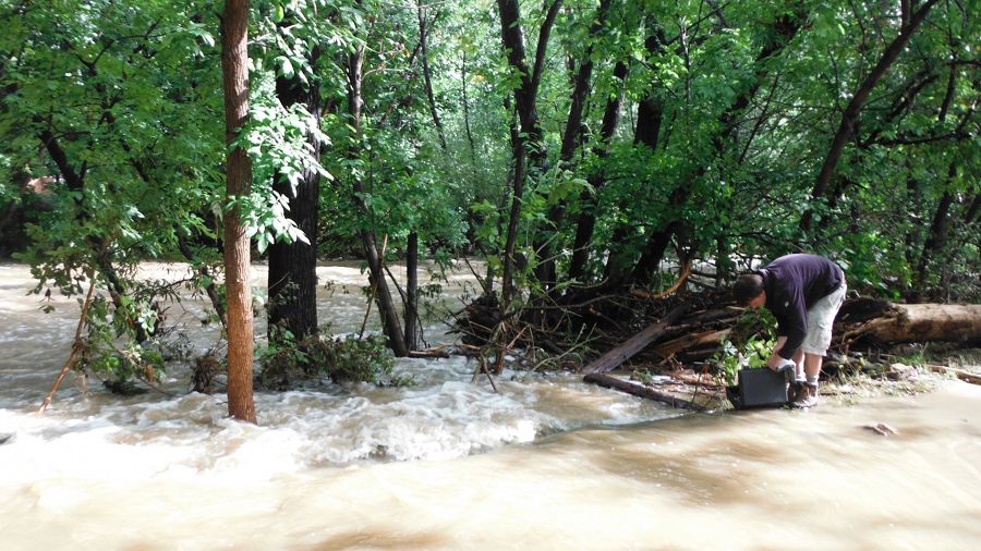
Sampling at Upper Gordon Gulch post storm (Need caption)
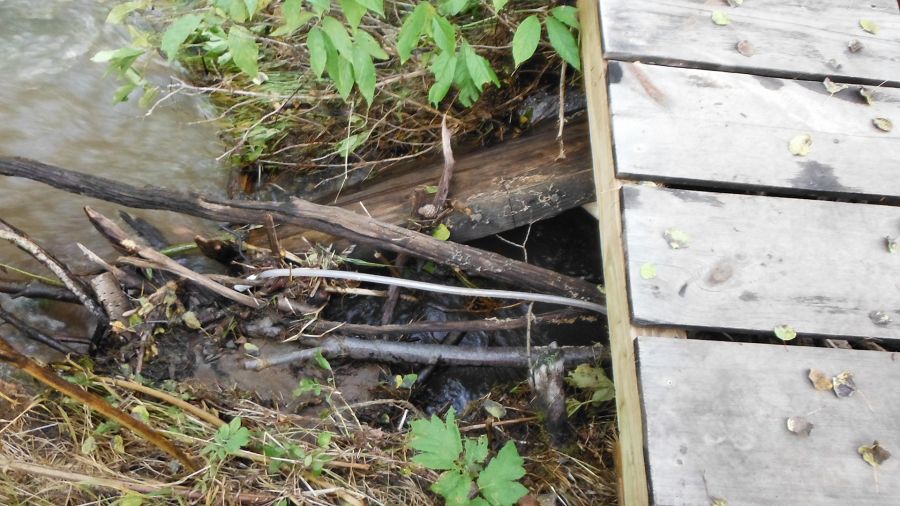
Upper Gordon post storm (Need caption)
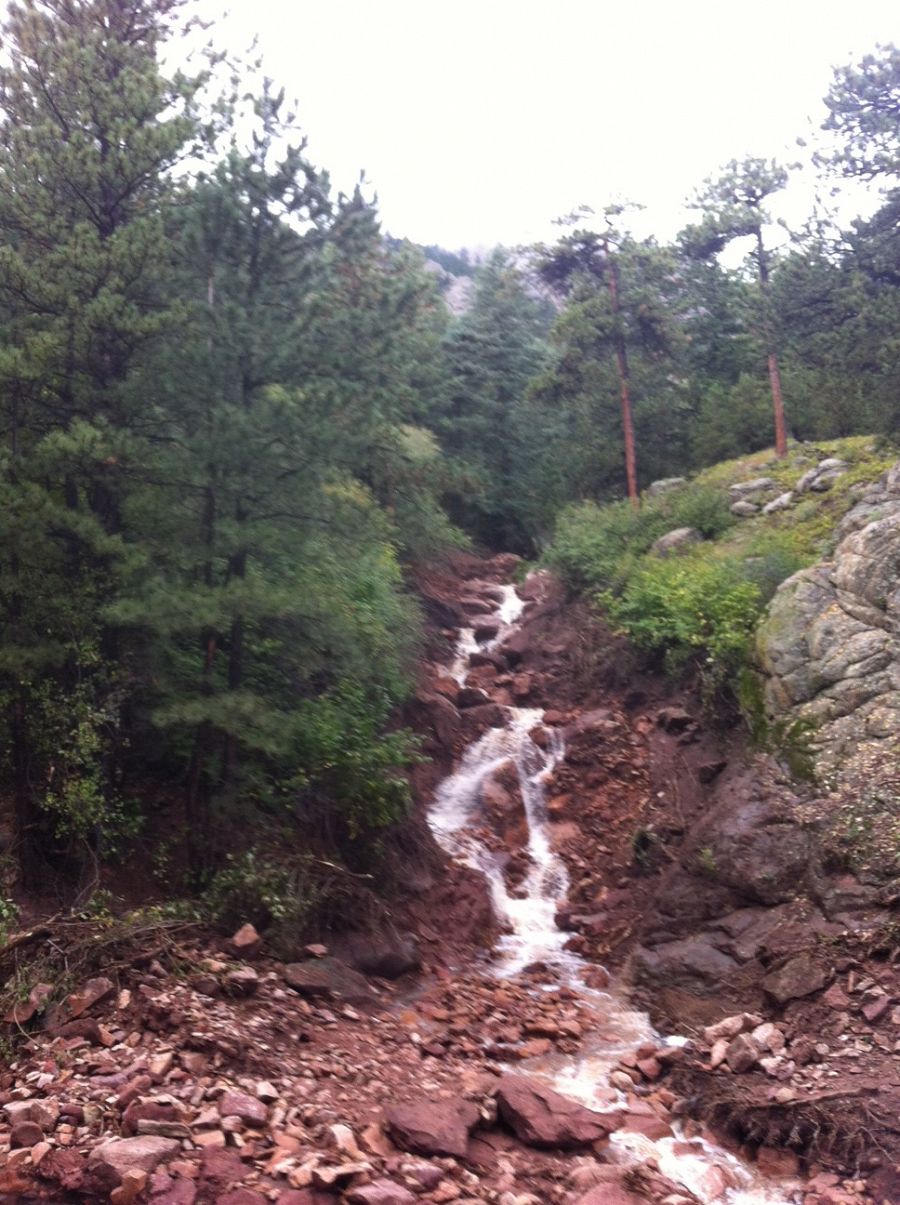
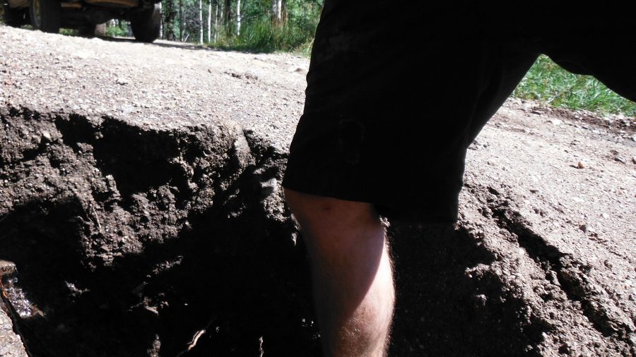
Erosion on the road at Upper Gordon Gulch
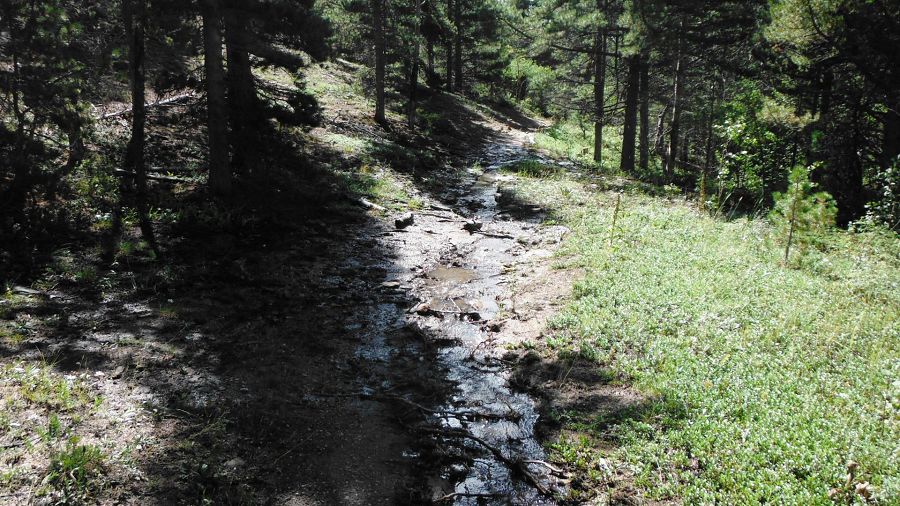
Water flowing at Upper Gordon Gulch
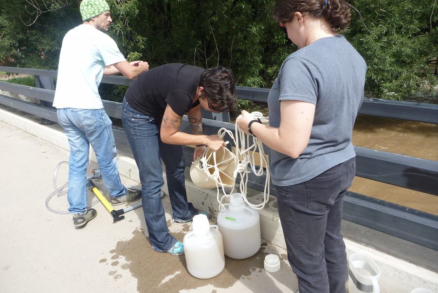
Rachel Gabor, Aneliya Sakaeva, and Chris Jaros helped collect samples of floodwater from Boulder Creek, Monday Sptember 16 2013
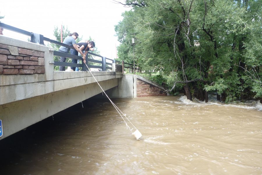
Sampling the Boulder Creek floodwater on Monday Sptember 16 2013 with a bucket method

Sampling the Boulder Creek floodwater on Monday Sptember 16 2013
Boulder Flood 2013 (Photo Nate Rock)
Boulder Flood 2013 (Photo Nate Rock)
Boulder Flood 2013 (Photo Nate Rock)
Boulder Flood 2013 (Photo Nate Rock)
Boulder Flood 2013 (Photo Nate Rock)
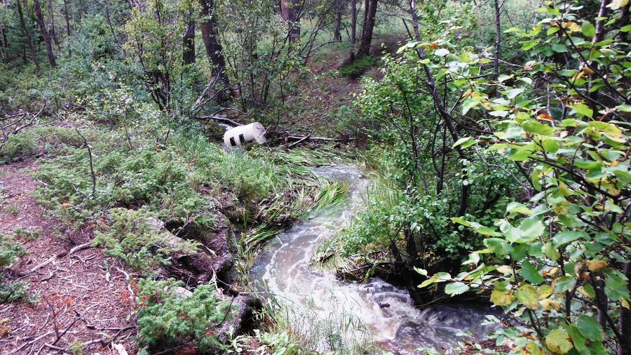
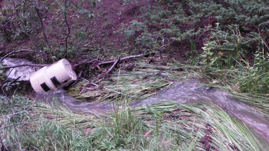
Boulder Flood 2013 (Photo Nate Rock) Lower Gorden Gulch
Boulder Flood 2013 (Photo Nate Rock)
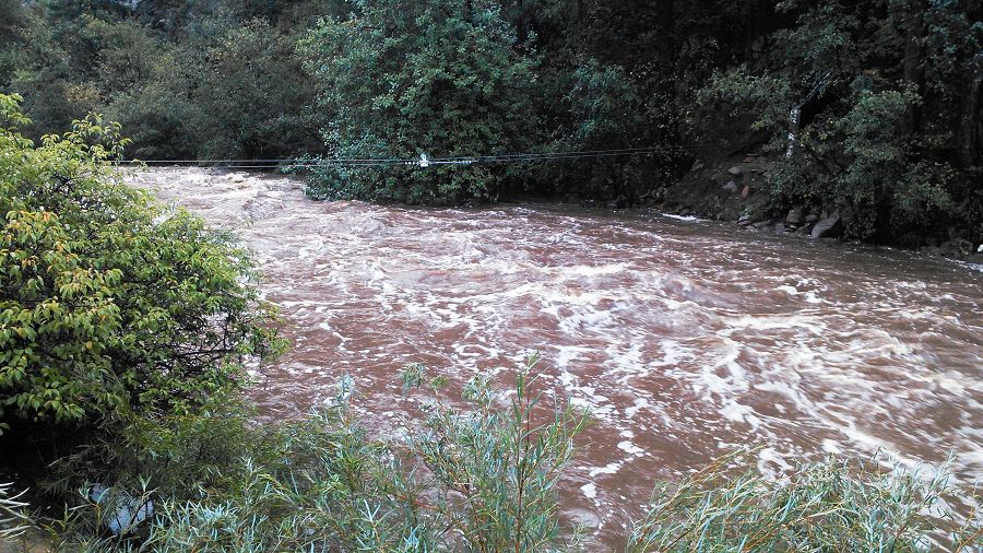
Boulder Flood 2013 (Photo Nate Rock)
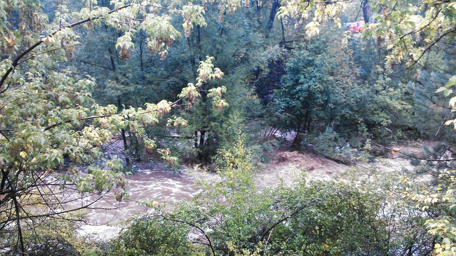
Boulder Flood 2013 (Photo Nate Rock)
Boulder Flood 2013 (Photo Nate Rock)
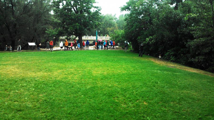
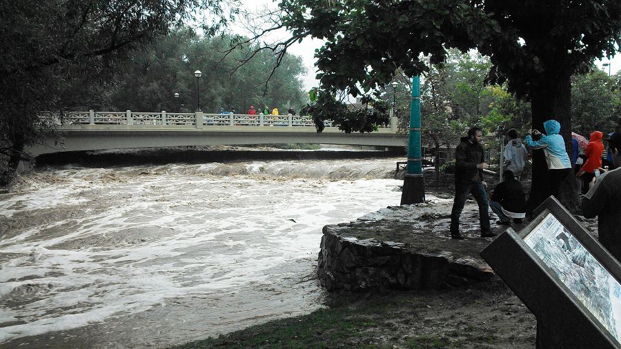
Boulder Flood 2013 (Photo Nate Rock) people watching flood waters
Boulder Flood 2013 (Photo Nate Rock) Boulder Creek in Boulder
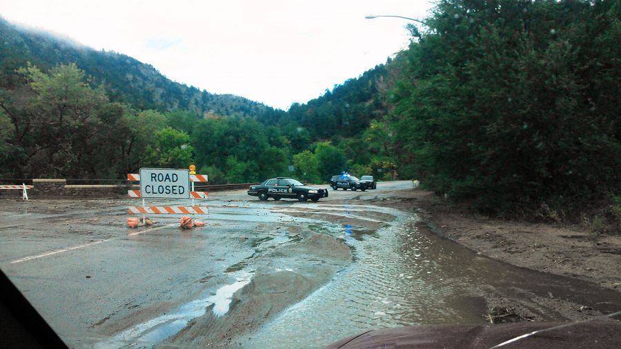
Boulder Flood 2013 (Photo Nate Rock) Road closure
Boulder Flood 2013 (Photo Nate Rock)
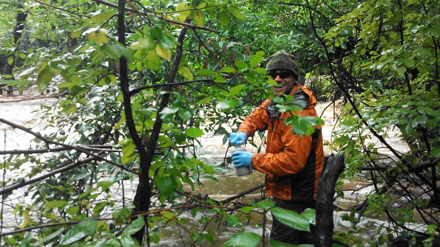
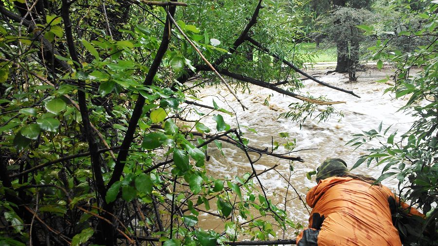
Boulder Flood 2013 (Photo Nate Rock) collecting samples
Boulder Flood 2013 (Photo Nate Rock) Debris in road
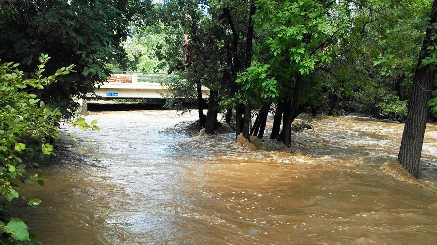
Boulder Flood 2013 (Photo Nate Rock)
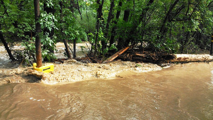
Boulder Flood 2013 (Photo Nate Rock)
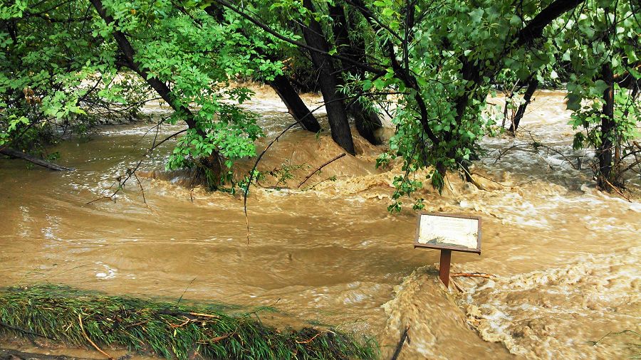
Boulder Flood 2013 (Photo Nate Rock)
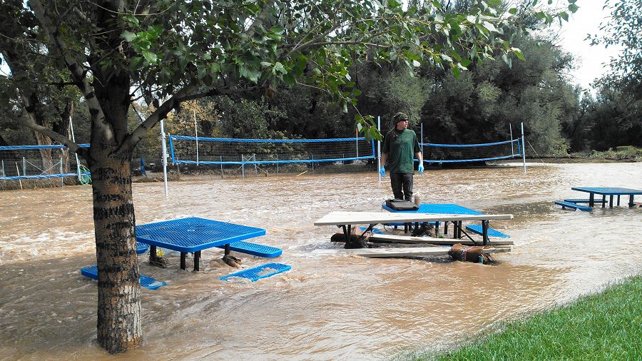
Boulder Flood 2013 (Photo Nate Rock) Sampling
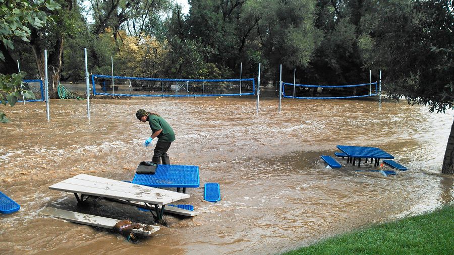
Boulder Flood 2013 (Photo Nate Rock) Sampling
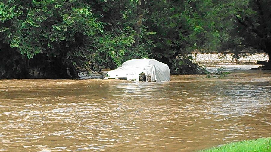
Boulder Flood 2013 (Photo Nate Rock)
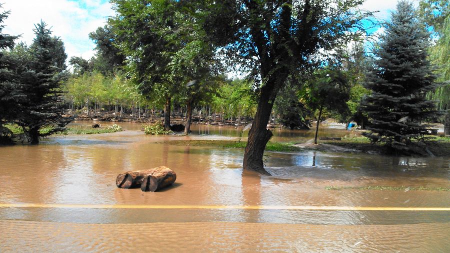
Boulder Flood 2013 (Photo Nate Rock)
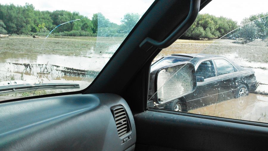
Boulder Flood 2013 (Photo Nate Rock)
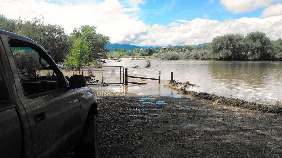
Boulder Flood 2013 (Photo Nate Rock)
Boulder Flood 2013 (Photo Nate Rock)
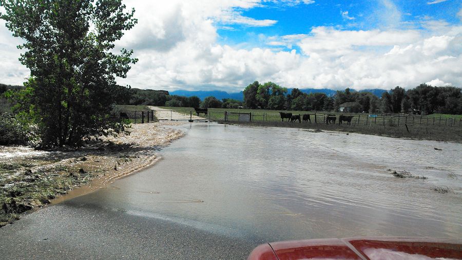
Boulder Flood 2013 (Photo Nate Rock)
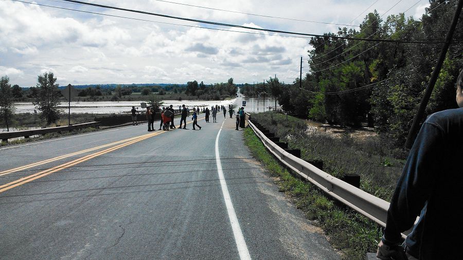
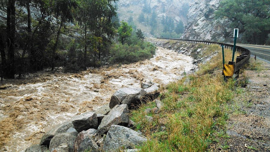
Boulder Flood 2013 (Photo Nate Rock) Flooded highway
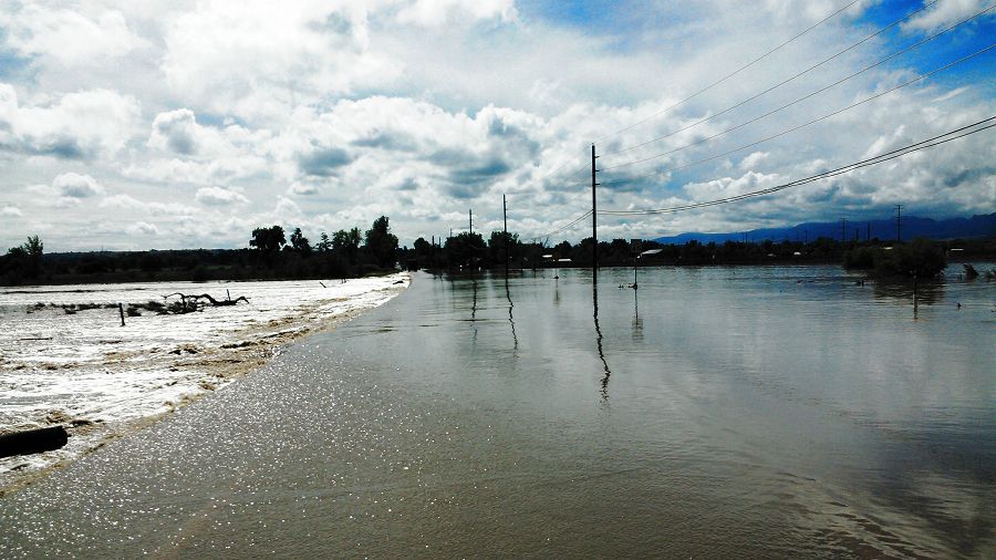
Boulder Flood 2013 (Photo Nate Rock) Flooded highway
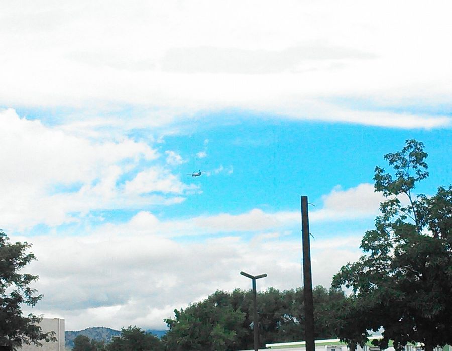
Boulder Flood 2013 (Photo Nate Rock) Rescue helicopter
September 12th 2013. Wettest day on record.
Prior to Wednesday, the single wettest day on record was July 31, 1919, when 4.80 inches of rain were recorded, according to Bob Henson, a science writer at the National Center for Atmospheric Research. (Daily Camera POSTED: 09/12/2013 04:54:28 AM MDT)
Sept 17 pictures of Stream gauge at Lower Gordon Gulch added.
Sept 18 pictures of Stream gauge at Lower Gordon Gulch added.
News
FEATURED
Sheila Murphy USGS press release “Storms after Wildfire Lead to Impaired Water Quality”
01 Oct 2015 - Fourmile Canyon fire September 2010, burned about 6,000 acres in Boulder County, CO. Storms after wildfire led to downstream water-quality impairment.
Water Resources Research Special Collection: Concentration-discharge relations in the critical zone
30 Oct 2017 - Water Resources Research published a new special collection in September 2017 featuring concentration-discharge research from multiple CZOs.
2017 CZO Webinar Series: Critical Zone and Society
06 Apr 2017 - 2017 CZO Webinar Series: Critical Zone and Society.
Boulder Creek CZO has the honor of a visit from a South Korean CZO!
25 Jan 2016 - We are very excited to announce that a group of 8 scientists from Kangwon University, South Korea, will visit us this week to learn about how our...
Explore Further
