Hurricane Irene: Scientists Collect Water Quality and Climate Change Data from Huge Storm
29 Aug 2011
News Source: National Science Foundation
While Hurricane Irene had officials along the East Coast preparing for mass evacuations, scientists at the Stroud Water Research Center and the University of Delaware were grabbing their best data collection tools and heading straight for the storm's path. It was a rare opportunity for the scientists to learn more about climate change and water quality, as Irene threatened to be the biggest hurricane to hit the Northeastern United States since 1985. Center scientist Anthony Aufdenkampe explains, "It rains on average once per week, or 15 percent of the year, but streams and rivers move most of their annual loads on those days. "The bigger the storm, the greater the disproportionate load, so you might have a single 100-year storm event move 25 percent of the material for an entire decade," says Aufdenkampe. "This is important because fresh waters and the carbon they transport play a major role in the global cycling of greenhouse gases." Irene could reveal much about how soil erosion into rivers might eventually bury carbon and sequester it from acting as a greenhouse gas in the atmosphere. That's a primary goal of the Christina River Basin Critical Zone Observatory (CRB-CZO), funded by a grant from the National Science Foundation (NSF). The Stroud Water Research Center and University of Delaware scientists are affiliated with the CRB-CZO.
News Source:
READ MORE from National Science Foundation >>
News Category:
RESEARCH
Photos
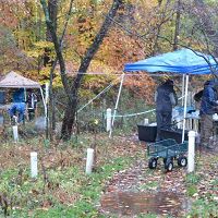
CRB-CZO Sampling Hurricane Irene
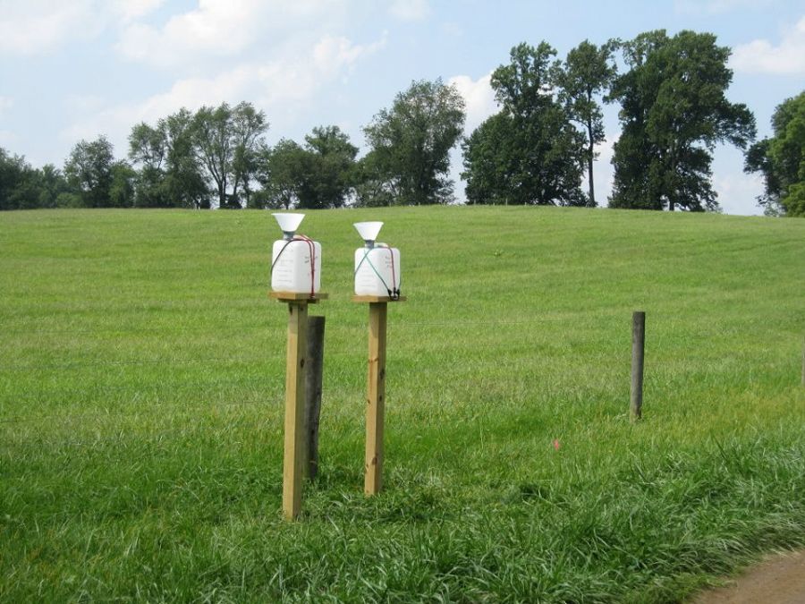
Pre-storm: Rainwater collectors on Stroud Water Research Center property.

Pre-storm: Diana Karwan assembles equipment to collect rainwater that runs down trees.
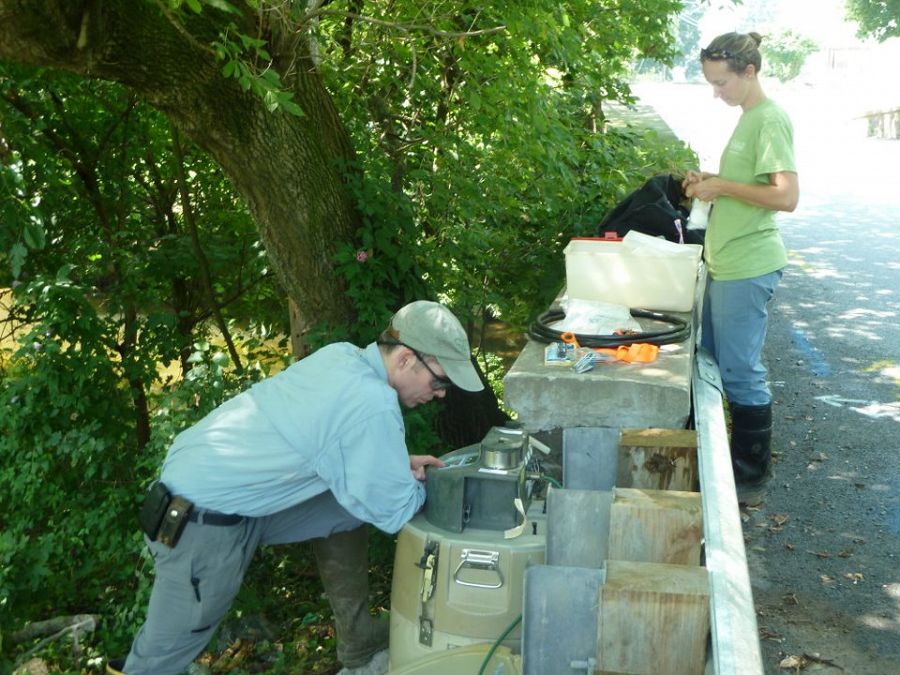
Pre-storm: readying automatic water samplers for deployment. Photo: Anthony Aufdenkampe
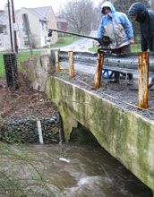
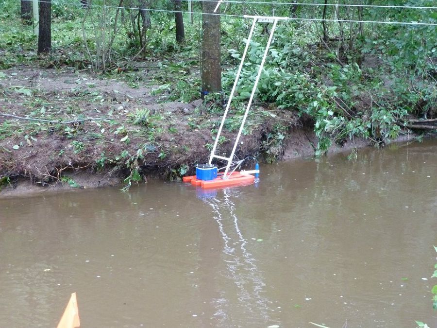
Pre-storm: placing a streamwater sampler in White Clay Creek near Newark, Delaware.
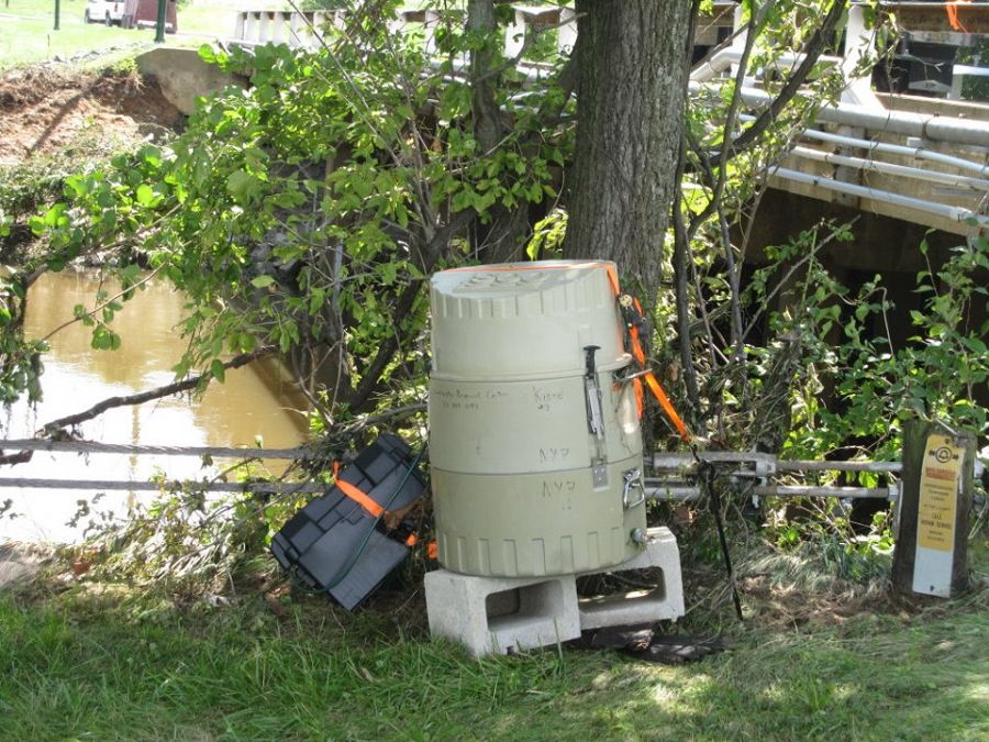
Pre-storm: automated water sampling equipment on White Clay Creek.
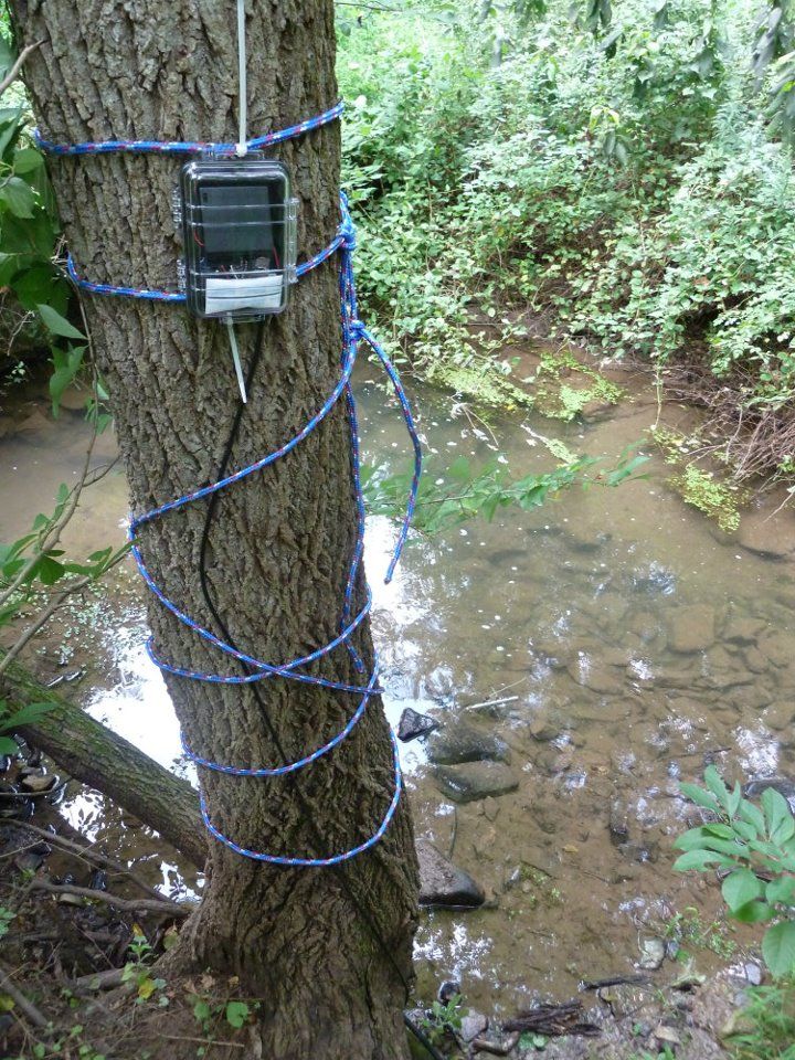
Pre-storm: this data logger is connected to a probe in the stream that measures stream flow. Photo: Anthony Aufdenkampe
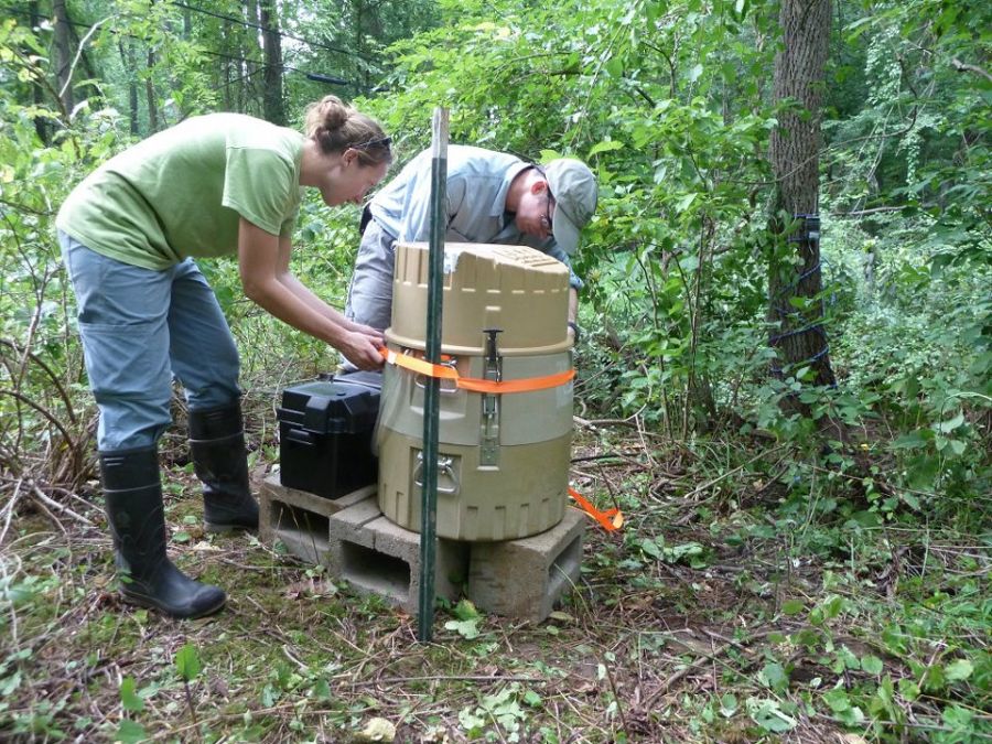
Pre-storm: deploying an automatic water sampler near Avondale, Pennsylvania. Photo: Anthony Aufdenkampe
Pre-storm: securing an automatic sampler at construction endmember field area near the landfill. Photo: Anthony Aufdenkampe
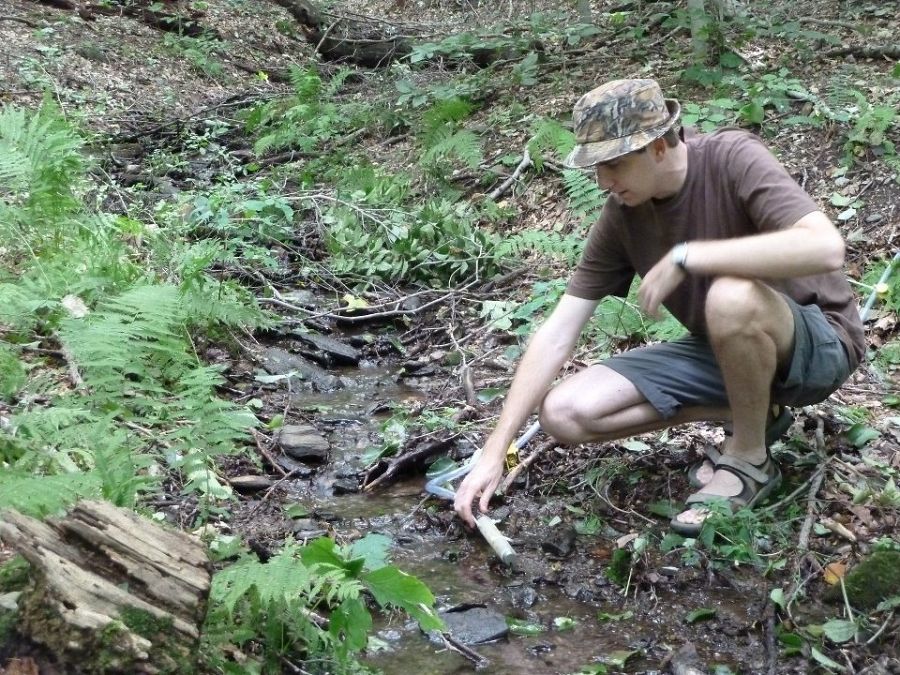
Pre-storm: Steve Hicks inserting a probe in a small headwater stream in the forest endmember field area. Photo: Anthony Aufdenkampe
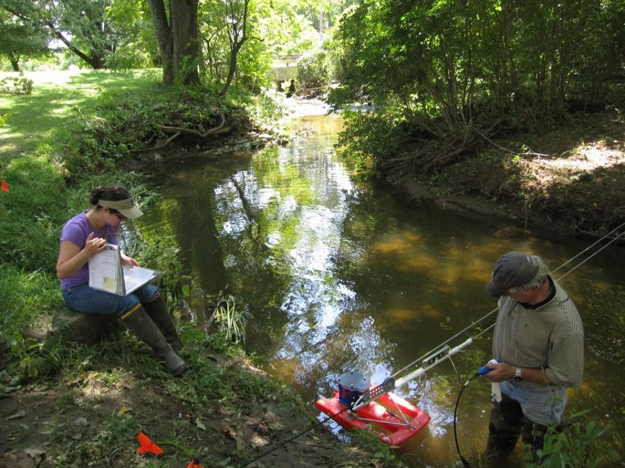
Sara Geleskie and Bill Anderson measuring pre-storm streamflow on White Clay Creek using an acoustic doppler current profiler.
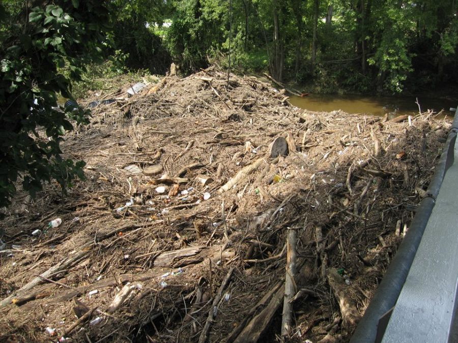
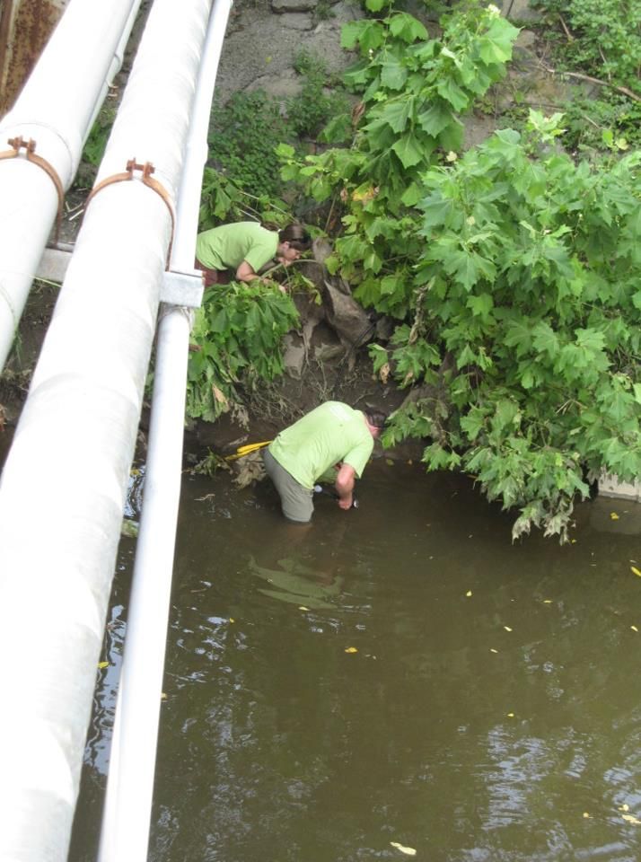
Post-storm: debris left behind by the hurricane in White Clay Creek near Newark, Delaware

Post-storm: water sampler flooded with water and sediment from the storm.
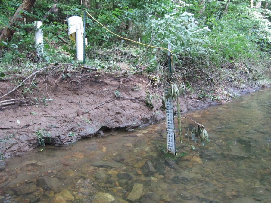
Evidence that White Clay Creek flooded over its banks during Irene.
Measuring post-storm stream flow. The stream bank beyond the current profiler shows the extent of flooding. Photo: Lily Aufdenkampe
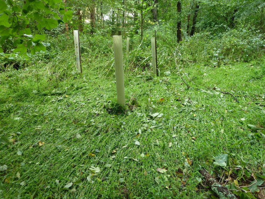
More evidence of flooding. These are tree tubes protecting saplings planted to reforest the stream bank. Photo: Anthony Aufdenkampe
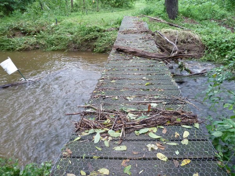
Evidence that the water flowed OVER the footbridge. Photo: Anthony Aufdenkampe
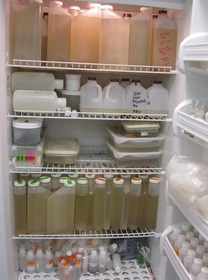
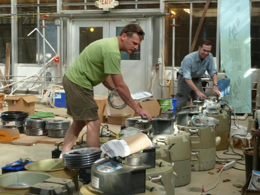
Lab full of samples collected during the storm.
Stroud Water Research Center's scientists and staff mobilized to take advantage of a rare opportunity: to collect water quality and climate change data from Hurricane Irene.
These photos show the pre-storm preparations and the post-storm conditions. Because the point of deploying autosamplers was to keep the staff out of the worst of the storm, and because Irene passed over us during the night of August 27, 2011, we don't have any photos taken during the height of the storm.
People Involved
CZO
-

Christina, INVESTIGATOR
-

Christina, STAFF
-

Christina, Shale Hills, INVESTIGATOR
-

Christina, STAFF
-
Christina, VOLUNTEER
-

National, Christina, STAFF

Discipline Tags and CZOs
Climatology / Meteorology
Hydrology
Soil Science / Pedology
Biogeochemistry
Christina
Explore Further
