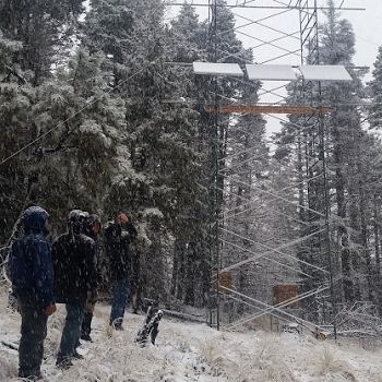
Jemez Unburned Site
Jemez River Basin Unburned Site is located on the south slopes of the San Antonio Mountain close to the Sulfur Spring.
0.01 km2 Area
2751 - 2753 m Elev
Parent Field Area:
Jemez River Basin ▲
Biome
coniferous forest
Land Use
forest land
-
Setting & Research
Unburned site is the newest addition and was established in the fall 2015. The site has instrumented flux tower and three pedons located 20 m from the tower. It is located on the south slopes of the San Antonio Mountain close to the Sulfur Spring. More than 80% of the slope around the flux tower is less than 8 % and slightly increase in elevation at the north most end. Vegetation is mostly mixed conifer forest with the small grass areas around the tower. Canopy heights range from 10-31 m around the tower footprint.
-
Overview Maps
Map Overlays
-
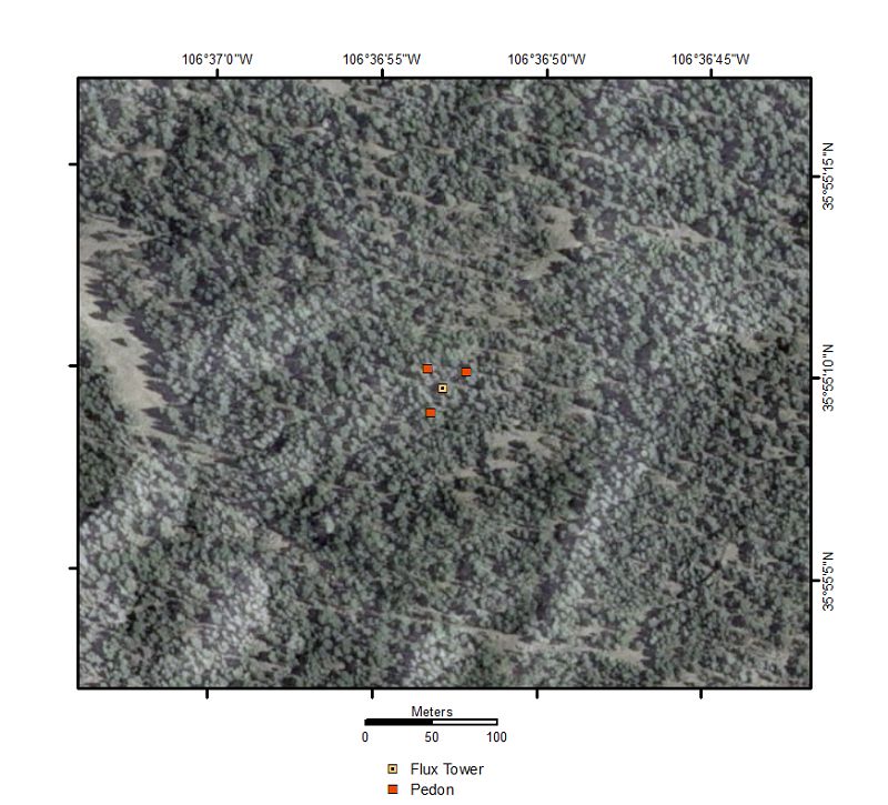
Unburned Site Satellite Map
-
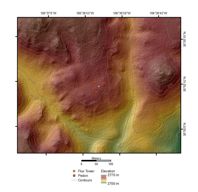
Unburned Site Elevation Map
-
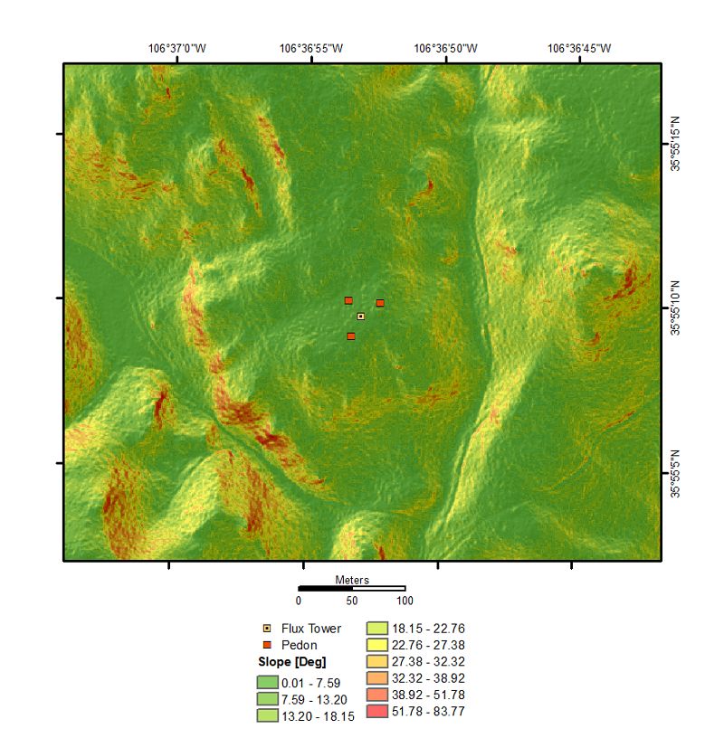
Unburned Site Slope Map
-
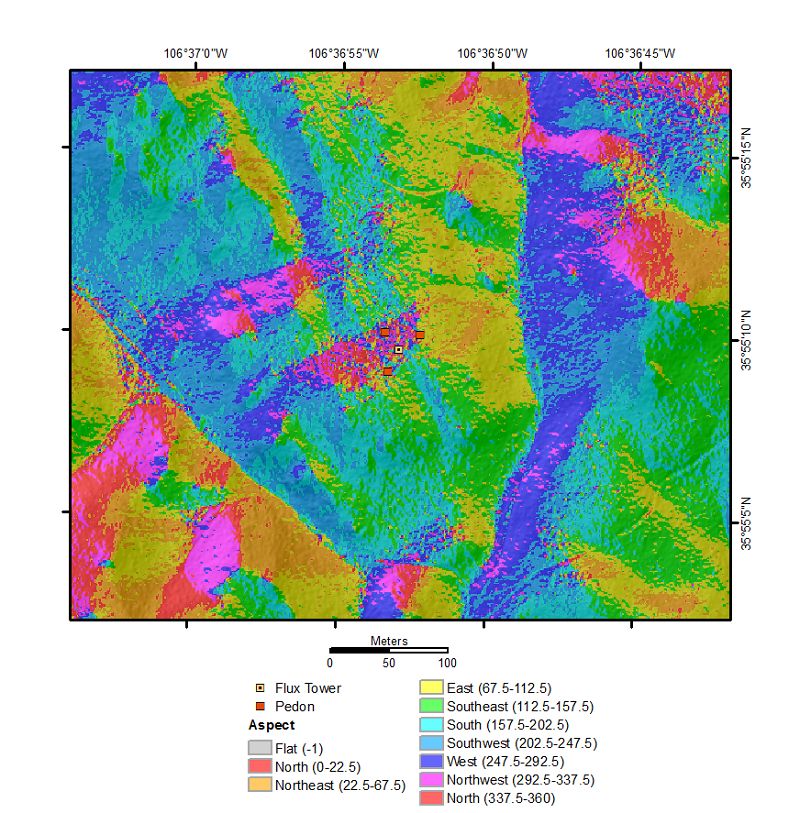
Unburned Site Aspect Map
-
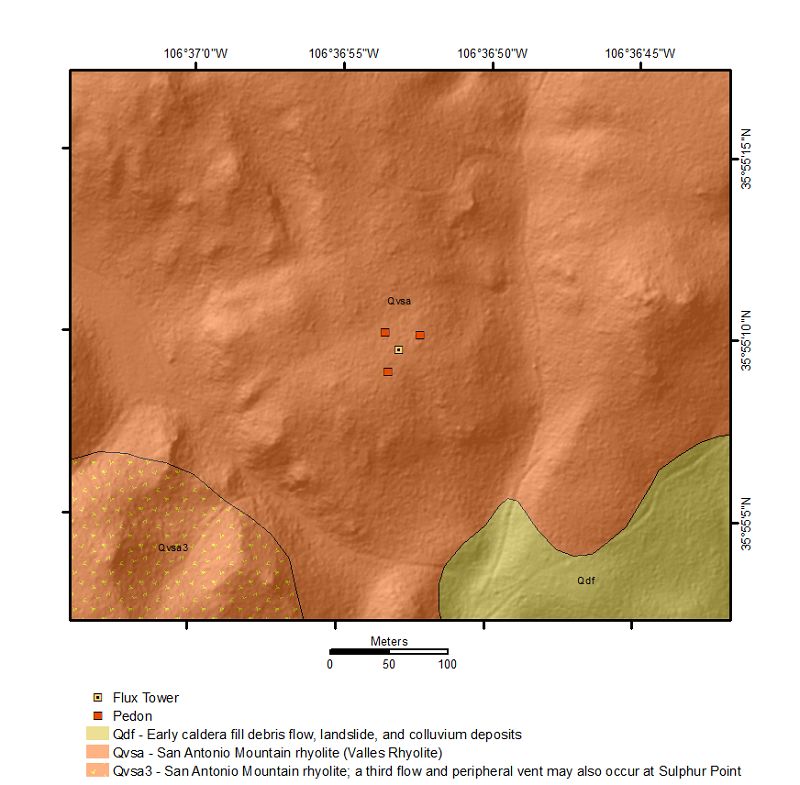
Unburned Site Geology Map
-
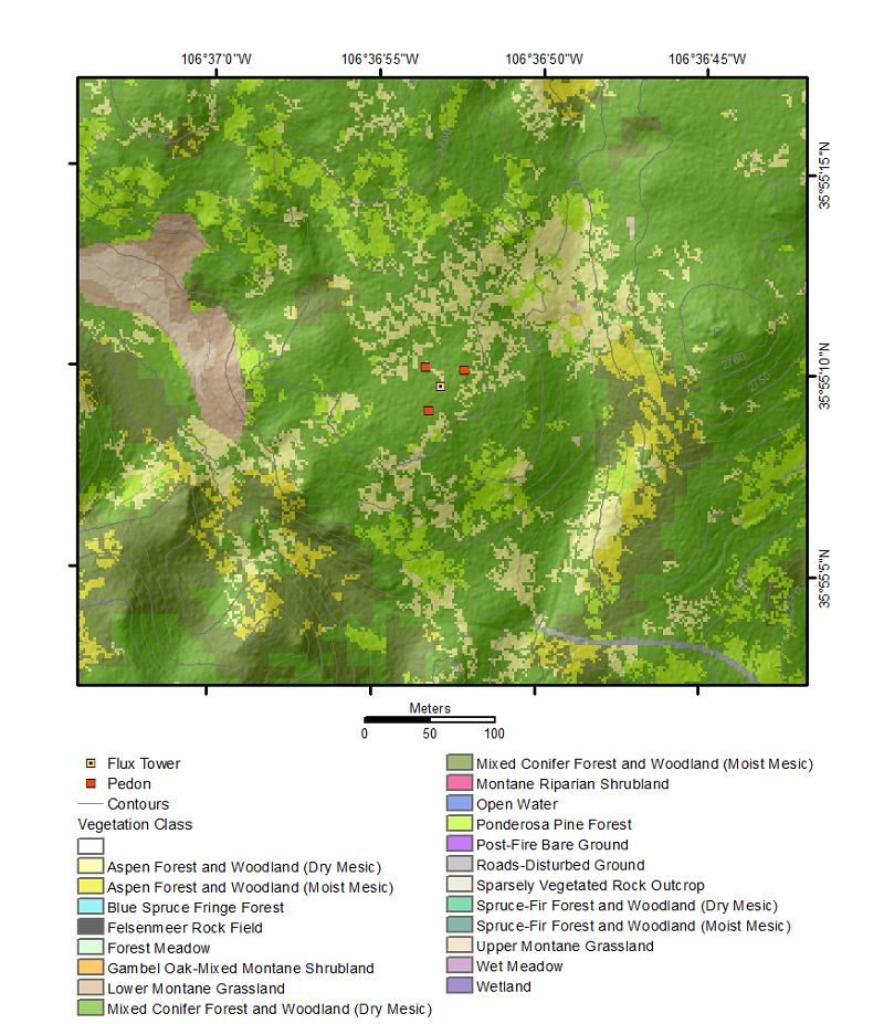
Unburned Site Vegetation Map
-
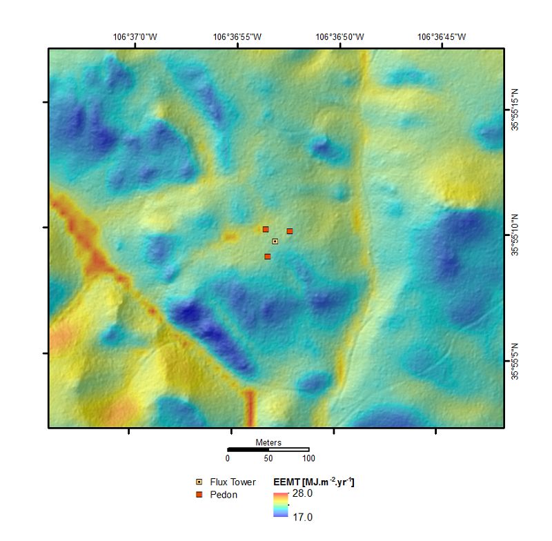
Unburned Site EEMT Map
-
-
Dynamic Map
To fully zoom into a small area, you may need to visit the "Map" button and uncheck "Terrain" view.
-
Data
Jemez Unburned Site - Soil Gas - CO2 and O2 (2015-2019)
16 components • Jemez Unburned Site • Soil Science / Pedology, Biogeochemistry, Climatology / Meteorology • Jon Chorover; Greg Barron-Gafford; Mark LoslebenJemez Unburned Site - Soil Moisture, Soil Temperature, Electrical Conductivity, Water Potential (2015-2019)
16 components • Jemez Unburned Site • Hydrology, Soil Science / Pedology • Jon Chorover; Mark LoslebenNational - Soil Gas - CO2 and O2 (2014-2017)
2 components • Bigelow Site (High-Elevation), Jemez 2013 Burned ZOB, Jemez Unburned Site, Calhoun CZO Research Area 1, Garner Run - Sandstone Forested, Northeastern Puerto Rico and the Luquillo Mountains • Biogeochemistry, Climatology / Meteorology, Soil Science / Pedology, Biology / Ecology • Brecheisen, Zachary; Chorover, Jon; Kaye, Jason; Silver, Whendee; Abramson, Nate; Barron-Gafford, Greg; Condon, Katherine E.; Cook, Charles W.; Hill, Lillian; Losleben, Mark; Minor, Rebecca; O'Connell, Christine; Richter, Daniel deB.; Durcik, Matej -
Partner Organizations
Explore Further
