Sample Collection Resources

The Critical Zone is often best studied by bringing samples back to the lab for detailed analysis.
Collecting those samples from the right place and at the right moment often presents a substantial challenge for CZ scientists.
The CRB-CZO maintains a fleet of sampling devices -- automated water pumps, rain collectors, wells, lysimeters, piezometers, etc. -- and a large archive of previously collected soil, sediment, rock, water and vegetation samples. All are available to the broader research community.
SWRC maintains a fleet of ten automated ISCO water samplers that can be deployed throughout the CRB for large storm events such as Hurricane Sandy. Photo: Anthony Aufdenkampe.
Gallery
CRB-CZO Sampling Resources
x
x
x
x
x
x
x
x

x
x
x

x
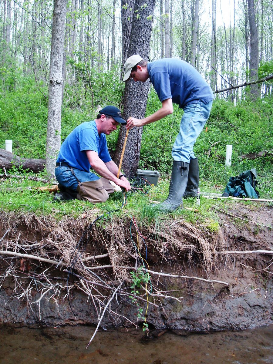
CRB-CZO Sampling Hurricane Irene
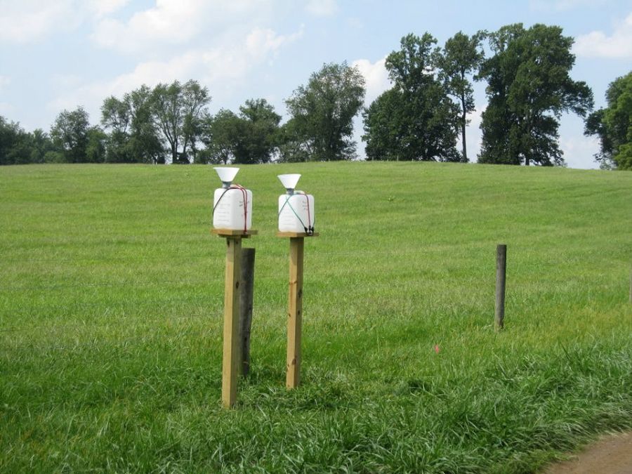
Pre-storm: Rainwater collectors on Stroud Water Research Center property.

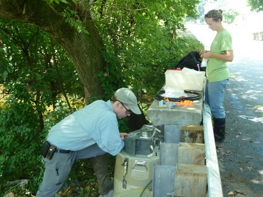
Pre-storm: Diana Karwan assembles equipment to collect rainwater that runs down trees.
Pre-storm: readying automatic water samplers for deployment. Photo: Anthony Aufdenkampe
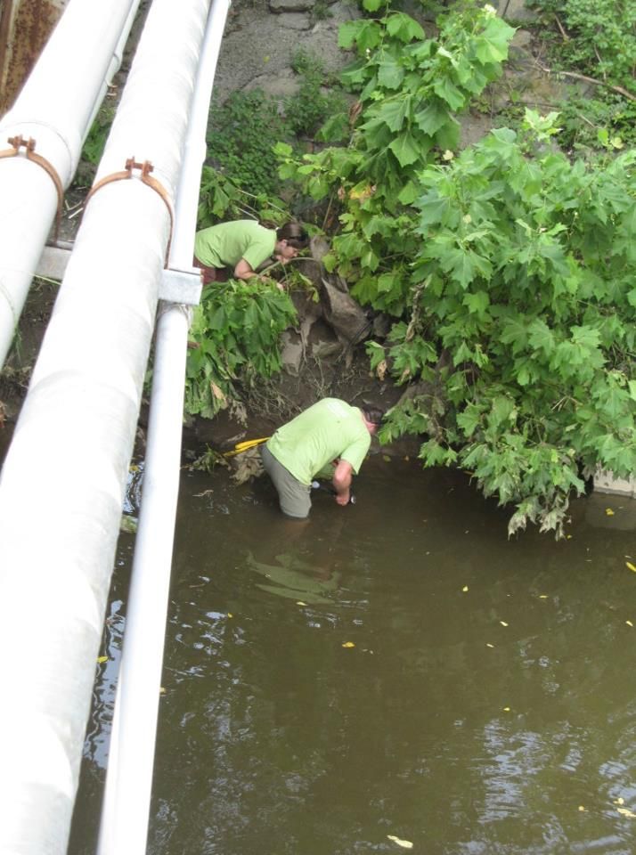
Pre-storm: placing a streamwater sampler in White Clay Creek near Newark, Delaware.
Pre-storm: automated water sampling equipment on White Clay Creek.
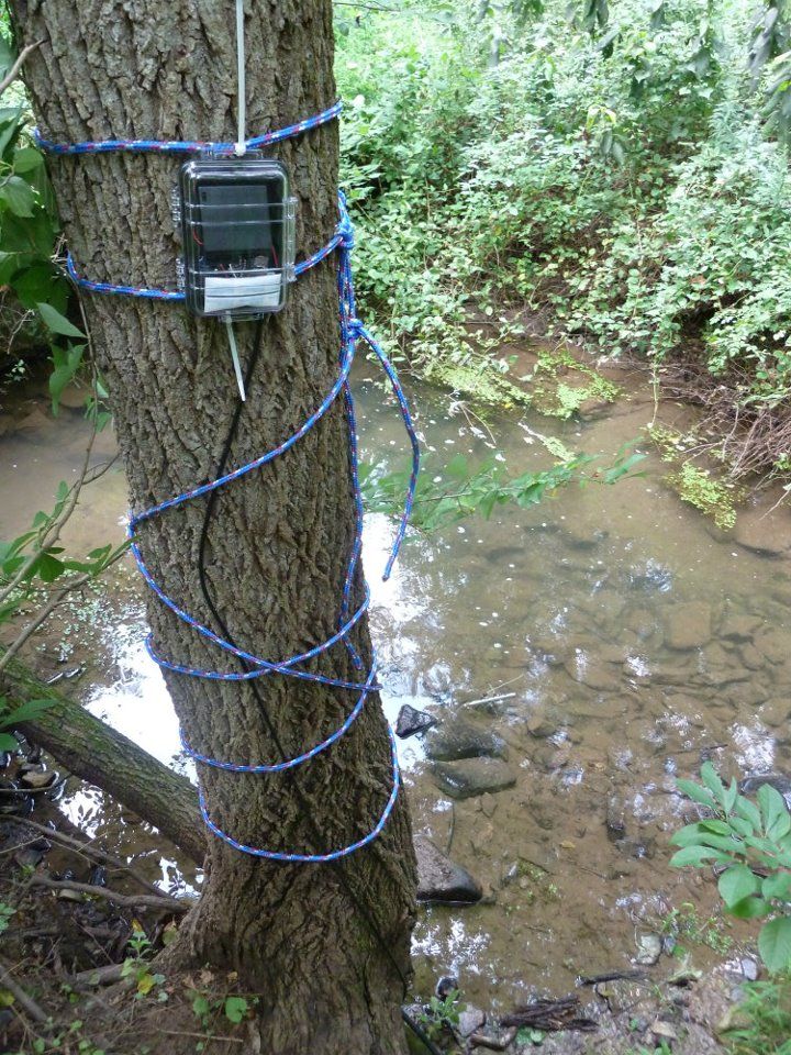
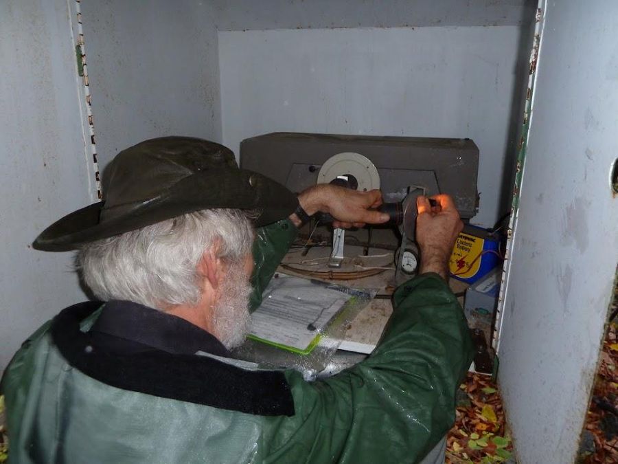
Pre-storm: this data logger is connected to a probe in the stream that measures stream flow. Photo: Anthony Aufdenkampe
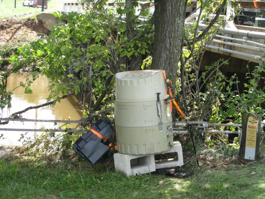
Pre-storm: deploying an automatic water sampler near Avondale, Pennsylvania. Photo: Anthony Aufdenkampe
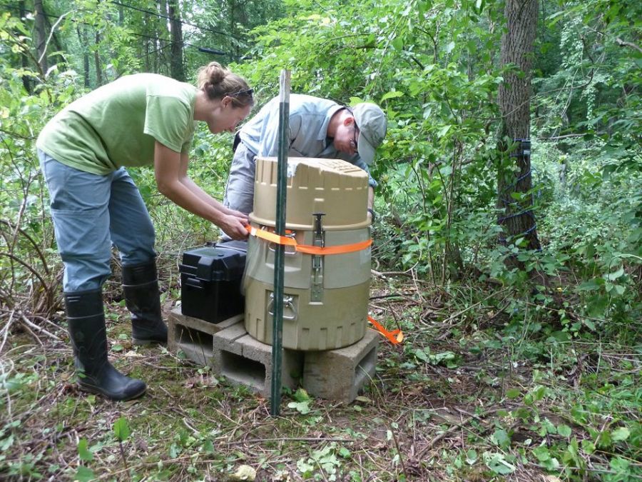
Pre-storm: securing an automatic sampler at construction endmember field area near the landfill. Photo: Anthony Aufdenkampe
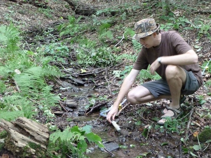
Pre-storm: Steve Hicks inserting a probe in a small headwater stream in the forest endmember field area. Photo: Anthony Aufdenkampe
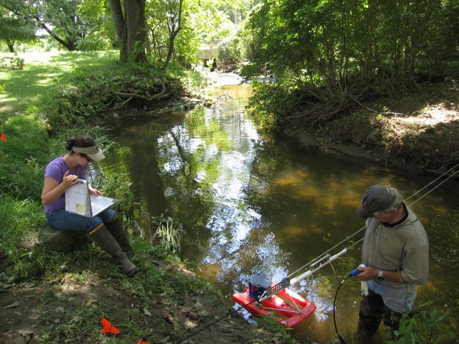
Sara Geleskie and Bill Anderson measuring pre-storm streamflow on White Clay Creek using an acoustic doppler current profiler.
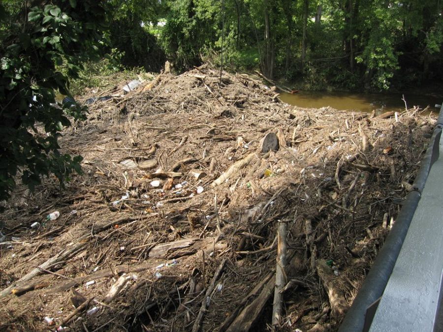
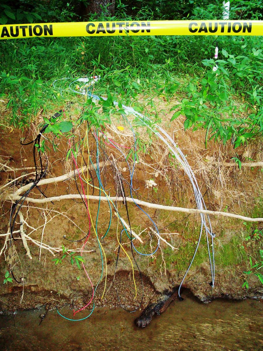
Post-storm: debris left behind by the hurricane in White Clay Creek near Newark, Delaware

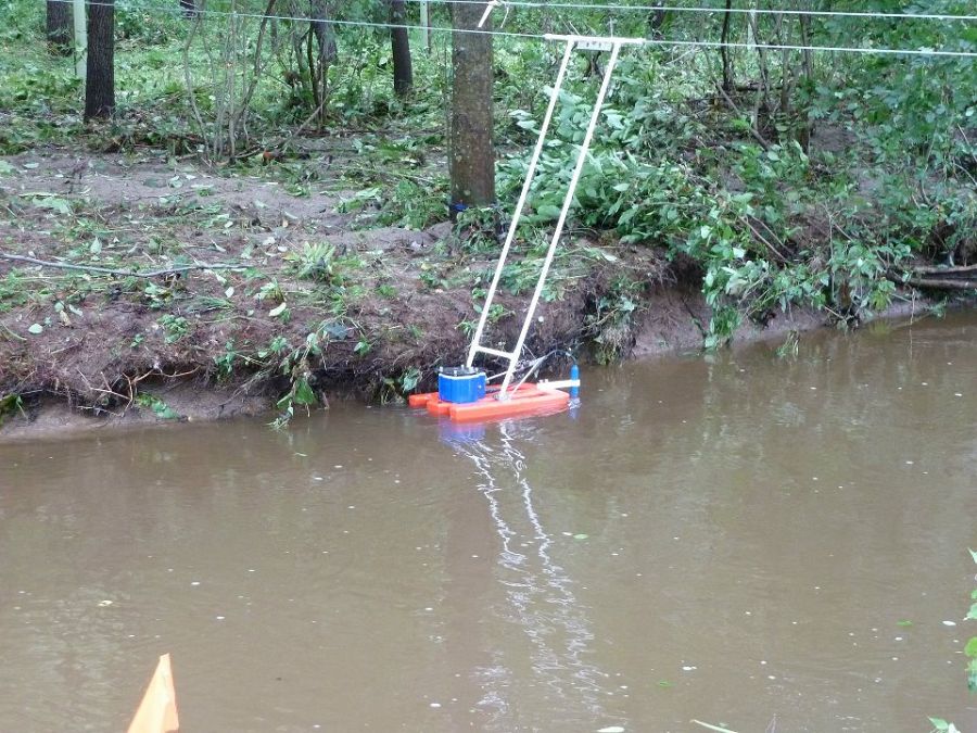
Post-storm: water sampler flooded with water and sediment from the storm.
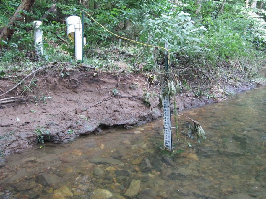
Evidence that White Clay Creek flooded over its banks during Irene.
Measuring post-storm stream flow. The stream bank beyond the current profiler shows the extent of flooding. Photo: Lily Aufdenkampe
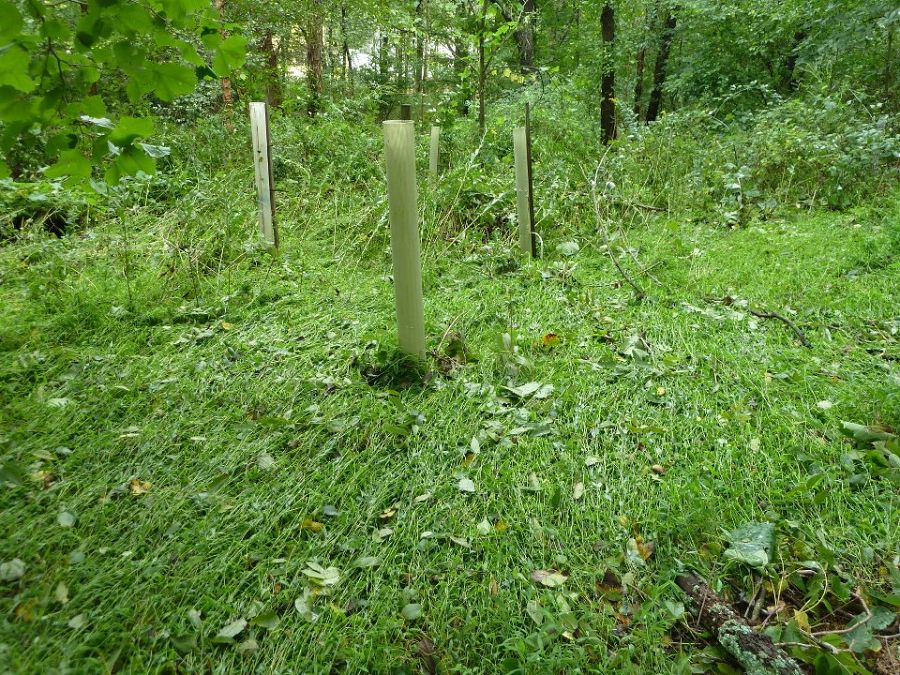
More evidence of flooding. These are tree tubes protecting saplings planted to reforest the stream bank. Photo: Anthony Aufdenkampe
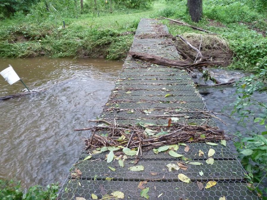
Evidence that the water flowed OVER the footbridge. Photo: Anthony Aufdenkampe
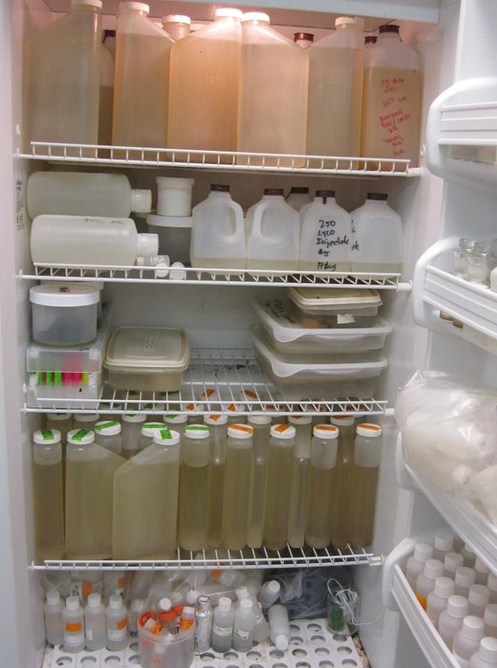
Lab full of samples collected during the storm.
Stroud Water Research Center's scientists and staff mobilized to take advantage of a rare opportunity: to collect water quality and climate change data from Hurricane Irene.
These photos show the pre-storm preparations and the post-storm conditions. Because the point of deploying autosamplers was to keep the staff out of the worst of the storm, and because Irene passed over us during the night of August 27, 2011, we don't have any photos taken during the height of the storm.
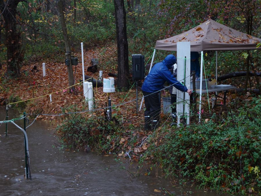
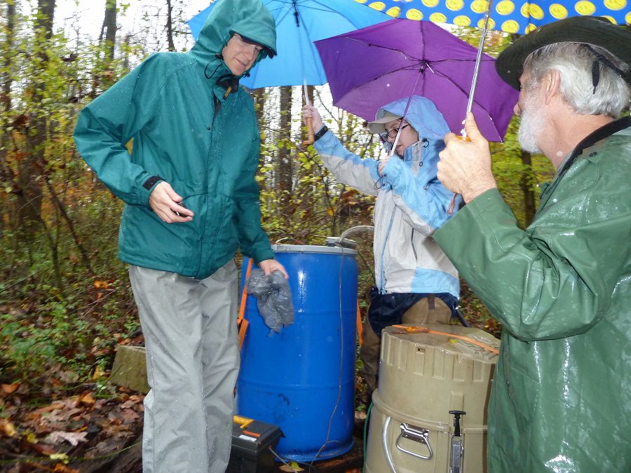
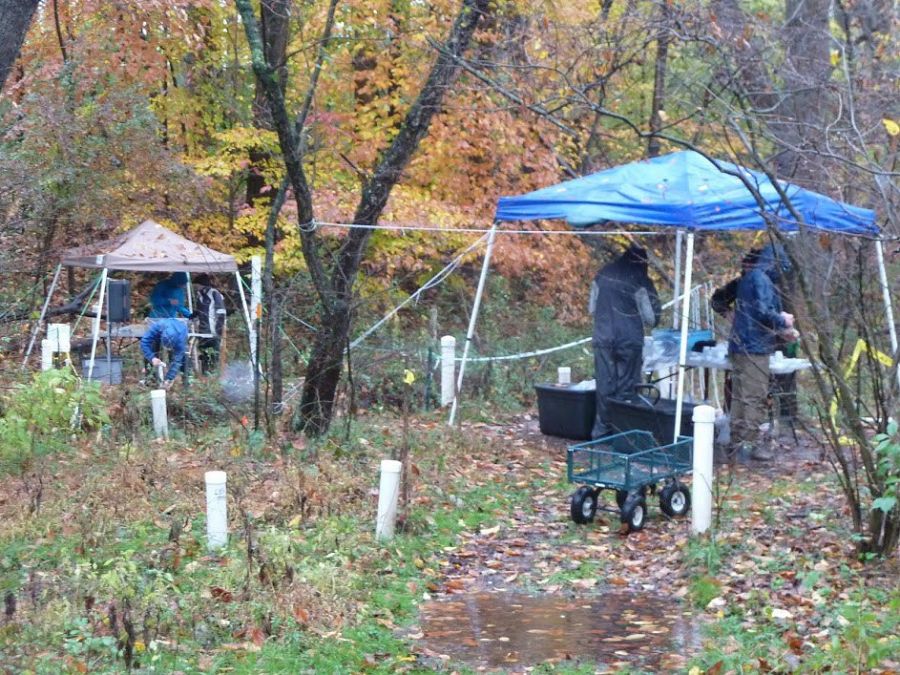
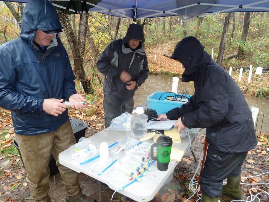
CRB-CZO Scientists Sample Stormwater in Eye of Hurricane Sandy
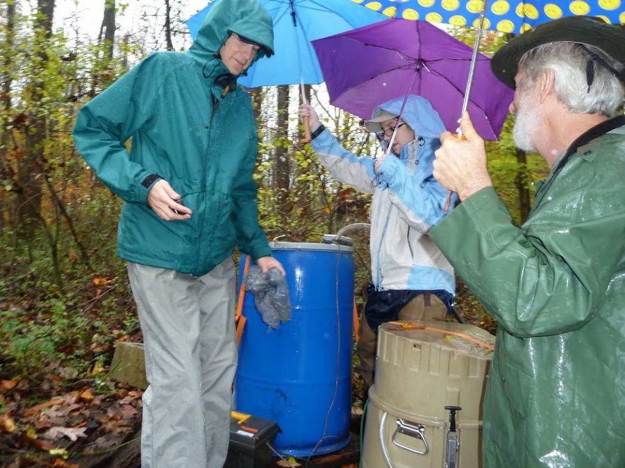
Steve Hicks, Sara Damiano, and Denis Newbold make the final adjustments on an ISCO automated sampler and the Center's very own invention, the Dial-A-Pump, which fills a barrel from a cell phone trigger. Together they sampled stream waters during the most intense moments of the storm. Such systems were placed at nine stream and river sites throughout the Christina River Basin. Photo: Anthony Aufdenkampe (Stroud)
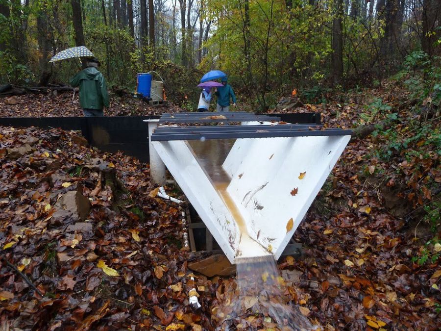
The newly installed trapezoidal flume at Boulton Run, an ephemeral tributary to White Clay Creek near the Center. Precisely engineered structures such as this are the the only means to accurately measure flow rates in small streams during storms. Photo: Anthony Aufdenkampe (Stroud)
Stroud Water Research Center's team sampling shallow groundwaters in the floodplains at Transect A on White Clay Creek. Photo: Anthony Aufdenkampe (Stroud)
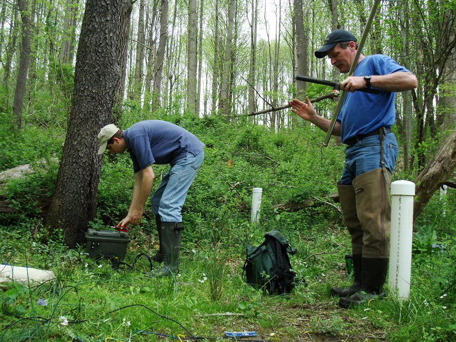
David Montgomery, Sherman Roberts, and Mike Gentile drawing and filtering samples during the first downpour from Sandy. Photo: Anthony Aufdenkampe (Stroud)
Denis Newbold making a precise electrical tape measurement of White Clay Creek water height at the stilling well on Spencer Road, for reference to our 40 year record at that location and for comparison to new methods. Photo: Anthony Aufdenkampe (Stroud)

Bill Anderson and Sara Damiano deploying an Acoustic Doppler Current Profiler, the now recommended method of measuring stream flows, to compare with our 40-year record. Photo: Anthony Aufdenkampe (Stroud)
For scientists at Stroud Water Research Center, the University of Delaware, and the University of Exeter, Hurricane Sandy was another golden opportunity to collect stormwater data that will be pivotal in addressing issues related to climate change.
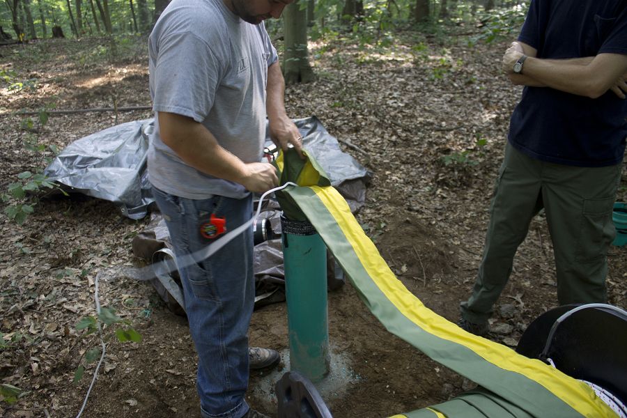
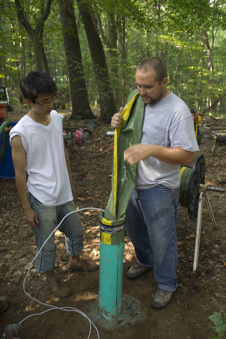
CRB-CZO 2012-07-31 New wells to provide critical zone data
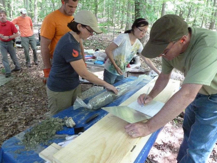
Working with a soil core from the drilling. Photo: Anthony Aufdenkampe (Stroud)
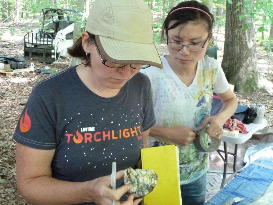
Examining a rock sample from the drilling. Photo: Anthony Aufdenkampe (Stroud)
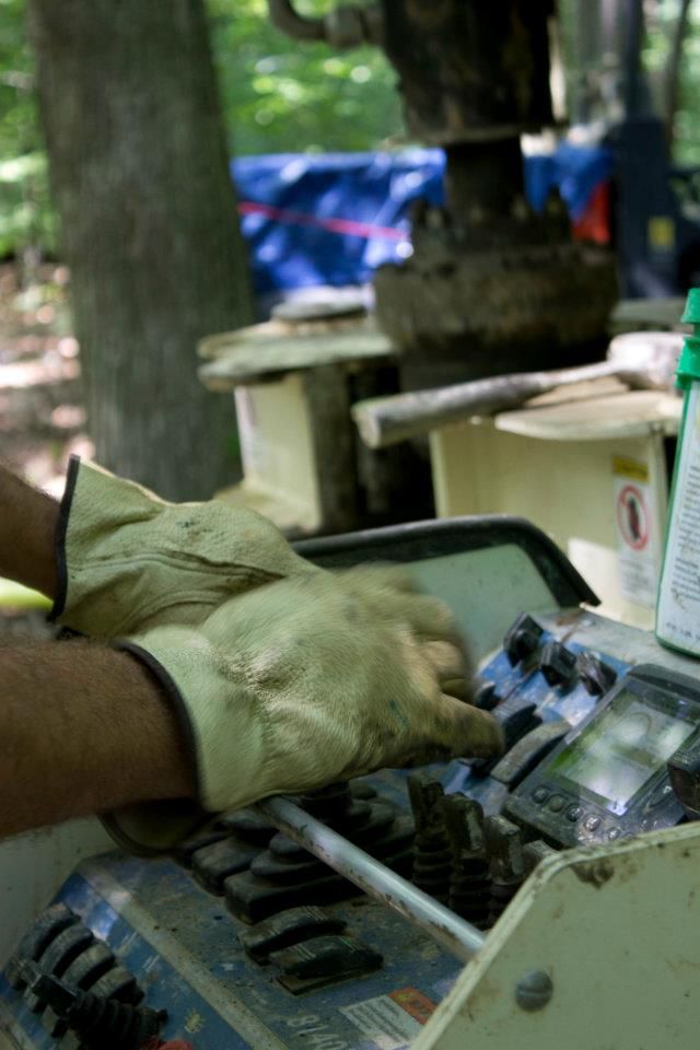
At the drilling controls. Photo: Beth Wenell (University of Minnesota)
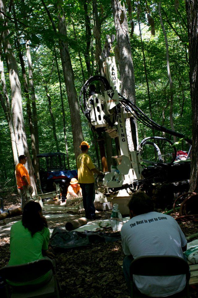
Drilling started at 10:45 on July 30, lasted until around 4 p.m. and resumed the next day. Photo: Beth Wenell (University of Minnesota)
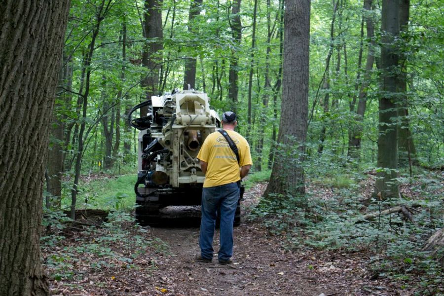
The operator drives the geoprobe using a wireless remote. Photo: Beth Wenell (University of Minnesota)
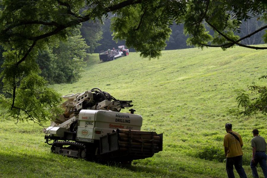
The geoprobe crossing the pasture on the way to the forested research location. Photo: Beth Wenell (University of Minnesota)
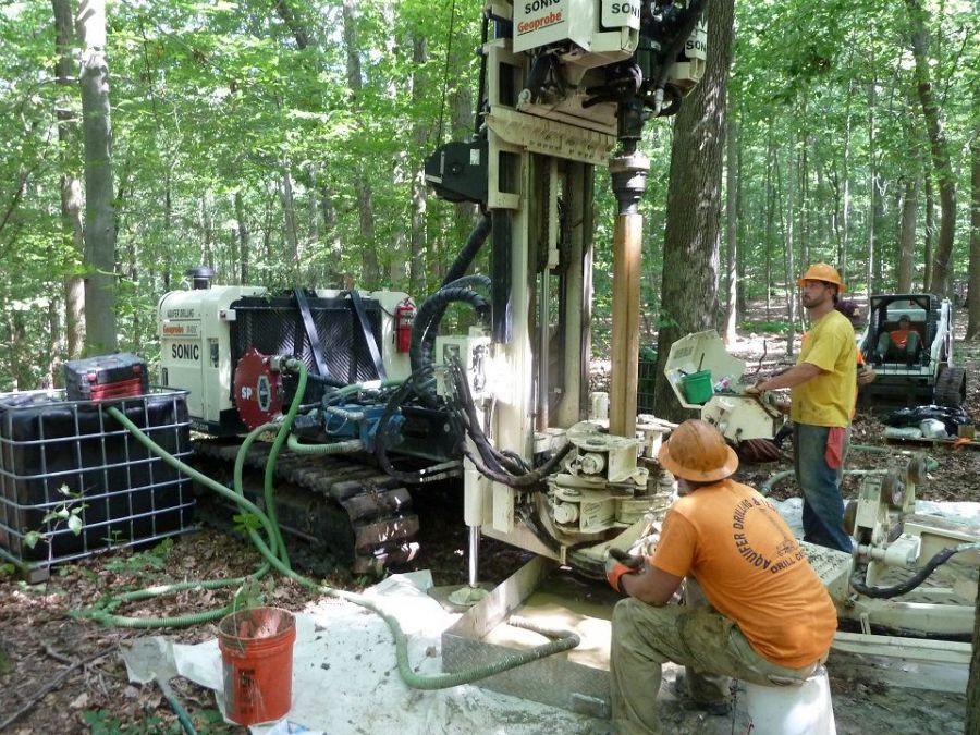
The drilling rig. Photo: Anthony Aufdenkampe (Stroud)
Wells were drilled to for sample groundwater, soils, and rock sampling to a depth of 70-90 feet in a 100% forested area at the Brandywine Conservancy's Laurels Preserve. A number of new technologies were piloted including a mini-sonic Geoprobe drill rig and a multi-port flute liner.
Explore Further
