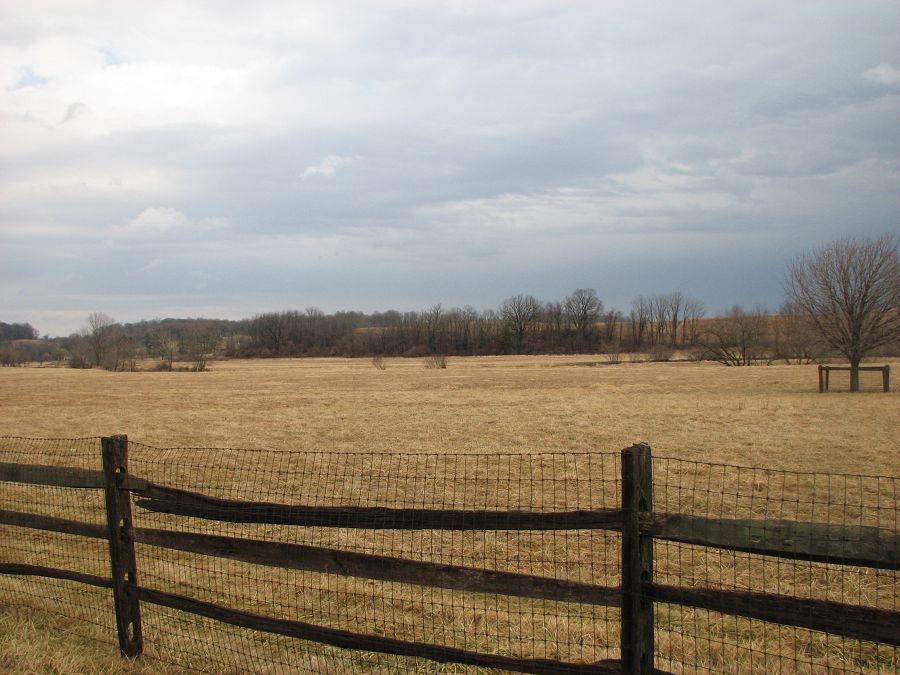
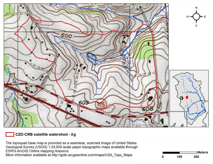
Agricultural Endmember: South Branch Doe Run
.
0.69 km2 Area
138 - 195 m Elev
12 °C Temp
1145 mm Precip
Parent Field Area:
Christina River Basin ▲
Lithology
metasediments
Soil Order
Inceptisol, Ultisol
Biome
deciduous forest
Land Use
agricultural land
-
Setting & Research
.
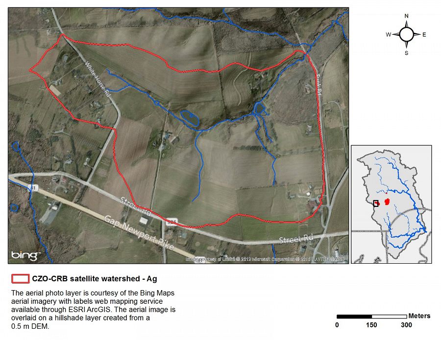
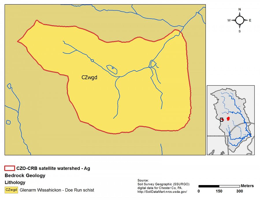
Agricultural endmember geology
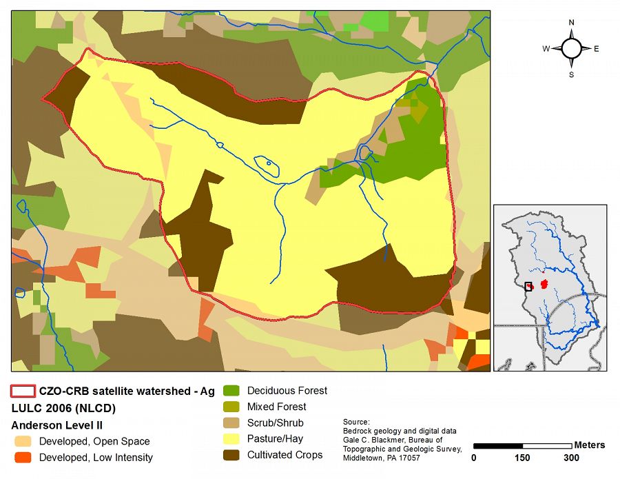
Agricultural endmember land use/land cover
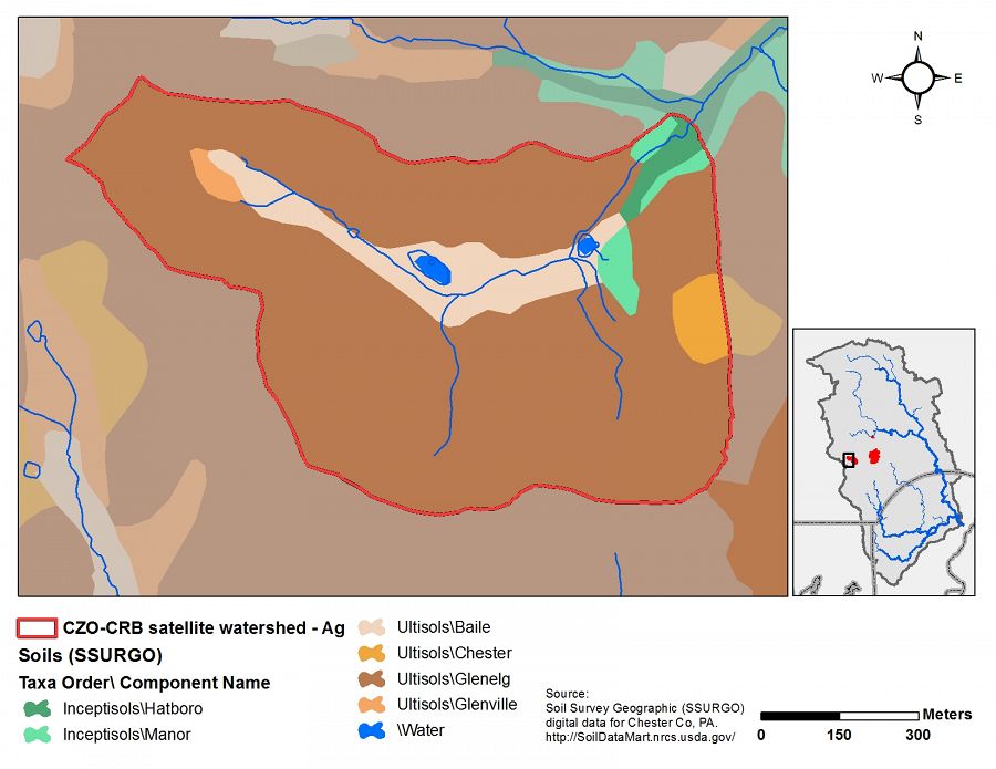
Agricultural endmember soils
Agricultural endmember topography
-
Overview Maps
Map Overlays
-
-
Dynamic Map
To fully zoom into a small area, you may need to visit the "Map" button and uncheck "Terrain" view.
-
Data
Christina River Basin - Stream Suspended Sediment (1993-2012)
20 components • Boulton Run, Christina River Basin, Forest Endmember: Spring Brook, White Clay Creek @ SWRC, Construction Endmember: White Clay Creek below landfill, Lower White Clay Creek, Agricultural Endmember: South Branch Doe Run • Water Chemistry, Geomorphology, Biogeochemistry, Hydrology, Geochemistry / Mineralogy • Aufdenkampe, A.K.; Newbold, J.D.; Anderson, B. A.; Richardson, D.; Damiano, S.G.White Clay Creek Transect A floodplain, Transect C - Climate, Stable Isotopes, Well Water Levels (2012)
1 components • Agricultural Endmember: South Branch Doe Run, Boulton Run, Transect A • Biogeochemistry, Climatology / Meteorology, Geochemistry / Mineralogy, Hydrology, Soil Science / Pedology • Karwan, Diana L.; Lazareva, Olesya -
Partner Organizations


-
Geology
- metasediments
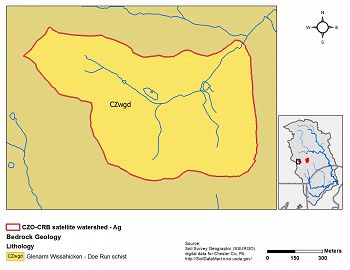
Agricultural endmember geology
-
Topography
138 - 195 m elevation (176 m mean)
Elevation data are based on 10m DEM data from USGS National Elevation Data.
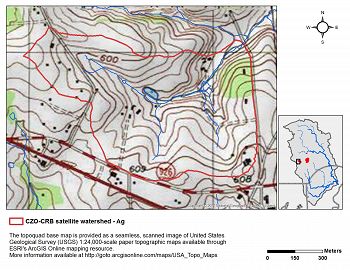
Agricultural endmember topography
-
Climate
12 °C Mean Annual Temp 1145 mm Mean Annual Precipitation There is an exceptionally long climate record for the Christina River Basin. Our figures are based on 115 years of NOAA data back to 1894 with at least one station per year having at least 360 days of non-missing records in the given year. Visit the climate tab for the entire Christina River Basin to view plots of climate data.
-
Soil
- Inceptisol
- Ultisol
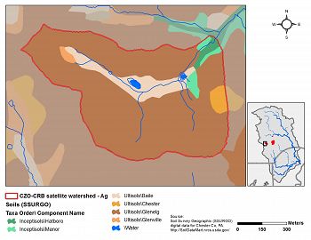
Agricultural endmember soils
-
Human Impacts
- agricultural land

Agricultural endmember land use/land cover
Land Use/ Land Cover Types (Level II) Category LULCID % Developed, Open Space 21 3.2 Deciduous Forest 41 7.5 Mixed Forest 43 0.5 Shrub/Scrub 52 3.0 Pasture/Hay 81 66.1 Cultivated Crops 82 19.7 Land Use/ Land Cover Types (Level I) Category % Open Water 0.0 Developed, Open Space 3.2 Developed 0.0 Barren Land 0.0 Forest 8.0 Shrub/Scrub 3.0 Grassland/Herbaceous 0.0 Agriculture 85.8 Wetlands 0.0 Land use/cover data from the National Land Cover Dataset for 2006.


Explore Further
