ARCHIVED CONTENT: In December 2020, the CZO program was succeeded by the Critical Zone Collaborative Network (CZ Net) ×

1933 Aerial photo data

One of several hundred aerial photos, currently being scanned, from the 1933 acquisition flight over the Sumter National Forest.

08 Sep 2014

Image: One of several hundred aerial photos, currently being scanned, from the 1933 acquisition flight over the Sumter National Forest. [Click image to enlarge]

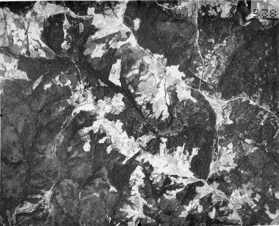
High resolution black and white aerial photos have been scanned to be digitized to produce information about land use change, hydrology, energy flux, erosion rates, and biogeochemistry.


News Category:
DATA


Partner Organizations

Explore Further

NEWS | 2020 | 2019 | 2018 | 2017 | 2016 | 2015 | 2014