Field Areas
◀Prev Next►
+ More
Under Construction
0.012 km2 Area
Parent Field Area:Reynolds Creek Experimental Watershed ▲
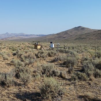
Nancy Gulch
Jump down
Location: 523321.08 E, 4779585.49 N
Elevation: 1400 m
MAT: 9.2 C
MAP: 298 mm
Vegetation: Artemisia tridentate ssp. wyomingensis
No datasets for this field area have been entered yet
Jump Up
infrastructure | Field Areas | Sensors & Field Instruments | Sample Collection Resources | GIS, Remote Sensing & Geophysics | Logistical Infrastructure
▲TOP
About | News | Events | Opportunities