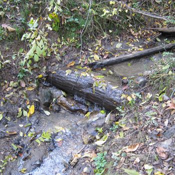
Mine Hill Run
Mine Hill Run is one of three CRB-CZO field areas used as long-term reference watersheds in the Stroud Preserve Reforested Riparian Buffer Project
0.341 km2 Area
78 - 119 m Elev
12 °C Temp
1145 mm Precip
Parent Field Area:
Riparian Buffer Experiment @ Stroud Preserve/Georgia Farm ▲
Lithology
metasediments
Soil Order
Inceptisol, Ultisol
Biome
deciduous forest
Land Use
agricultural land, forest land, urban or built-up land
-
Setting & Research
Mine Hill Run watershed was unaltered and maintained in agricultural production comparable to that of Morris Run, as a long-term reference watershed.
-
Dynamic Map
To fully zoom into a small area, you may need to visit the "Map" button and uncheck "Terrain" view.
-
Data
Christina River Basin - Stream Water Temperatures (2007-2014)
8 components • Christina River Basin, Halfway Run, Mine Hill Run, Morris Run, White Clay Creek @ SWRC, Forest Endmember: Spring Brook, Riparian Buffer Experiment @ Stroud Preserve/Georgia Farm • Water Chemistry • Sweeney, B.; Funk, D.; Newbold, J. D.; Kaplan, L. A.; Damiano, S. G.; Kline, F.; West, H. -
Partner Organizations
-
Associated Files
Mitigation of Nonpoint Pollution by a Riparian Forest Buffer in an Agricultural Watershed of the Mid-Atlantic Piedmont
(2 MB pdf)
Stroud Preserve Watersheds National Monitoring Project Final Report
Explore Further


