CHILD
CHILD Model
The CHILD model is widely used for the simulation of landscape evolution.
Model Category: Numerical
Image: The Channel-Hillslope Integrated Landscape Development (CHILD) model.
-

Calhoun, Luquillo, INVESTIGATOR
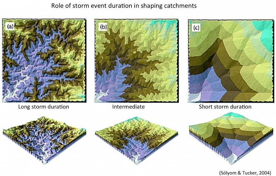
CHILD (Tucker and Bras, 1998; Tucker et al., 2001a,b) computes the evolution of topography and stratigraphy in response to a wide range of processes closely related to landscape evolution such as various representations of runoff, erosion and sediment transport by gravitational, fluvial, regolith production, and tectonic perturbation. Based on an adaptive irregular mesh, CHILD is capable of simulating detachment and transport limited sedimentation mechanisms, meandering and flood plain deposition. The model accounts for the interaction between vegetation and water erosion using a vegetation growth and damage algorithm.
References
Tucker, G. E., & Bras, R. L. (1998). Hillslope processes, drainage density, and landscape morphology. Water Resources Research, 34(10), 2751-2764.
Tucker, G.E., Lancaster, S.T., Gasparini, N.M., and Bras, R.L. (2001a). The Channel-Hillslope Integrated Landscape Development (CHILD) Model, in Landscape Erosion and Evolution Modeling, edited by R.S. Harmon and W.W. Doe III, Kluwer Academic/Plenum Publishers, pp. 349-388.
Tucker, G. E., Lancaster, S. T., Gasparini, N. M., Bras, R. L., & Rybarczyk, S. M. (2001b). An object-oriented framework for distributed hydrologic and geomorphic modeling using triangulated irregular networks. Computers & Geosciences,27(8), 959-973.
Explore Further
