Cole Farm - Agricultural (Deprecated)
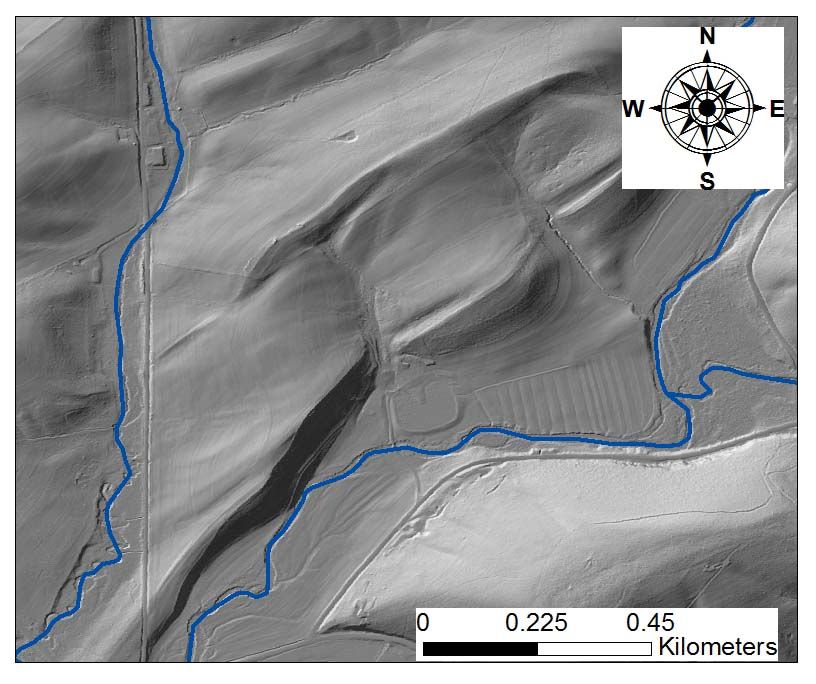
The Cole Farm catchment (0.65km2) is located ~ 4 km southwest of the Shale Hills site, draining orthogonally to a syncline axis of the Wills Creek Formation, a calcareous shale containing interbedded siltstone, sandstone, shaly limestone, and dolomite. Even though the farm adopted no-till practices in the 1970s, the axial channel of Cole Farm flows over a thick (>2.5 m) package of sediment in the valley floor. Soils range in texture from silty clay at the ridge top to sandy loam in the valley floor.
0.65 km2 Area
Bare earth Digital Elevetion Model from Lidar Survey
Lithology
shale
Land Use
agricultural land
-
Setting & Research
Cole Farm is a 159 acre functioning crop farm since 1810 located in the southwestern region of the Shavers Creek Watershed. Crops consist of alfalfa, mixed grasses, and corn. Shavers Creek flows through the property to the east and south. A spring flows into a man-made pond. There three deep wells drilled in 2002.
-
Data
No datasets for this field area have been entered yet
Explore Further
