Critical Zone Profile – JEN PIERCE (geomorphologist, Associate Professor)
Jennifer Pierce grew up in Colorado. She received her undergraduate degree from Colorado College, a master's degree from the University of Oregon, and a Ph.D. from the University of New Mexico. She is currently an Assistant Professor at Boise State University in the Geosciences Department, where she directs the Earth, Wind and Fire lab.
"Quantifying inorganic carbon storage in soils, the world’s third largest reservoir of carbon is important for ongoing and future management of soils in a warmer future." — Jen Pierce
The primary goals of my work in the Reynolds Creek Experimental Watershed (RCEW) are twofold: 1) to quantify the amount of soil inorganic carbon in the watershed and examine controls on its formation, and 2) examine post-fire erosion by wind and water within the watershed.
Soil inorganic carbon: Soil inorganic carbon (SIC) comprises ~40% of soil carbon storage--understanding the amount of inorganic carbon, and whether it is accumulating or disappearing from soil storage is essential for global carbon budgets. The Reynolds Creek watershed in southwestern Idaho is an ideal location to study factors influencing SIC, as the carbon pool transitions from predominately inorganic carbon in the lower elevations to organic carbon exclusively at higher elevations. Quantifying inorganic carbon storage in soils, the world’s third largest reservoir of carbon, is important for ongoing and future management of soils in a warmer future. Climate projections show that soils in xeric climates, such as the RCEW, will be more heavily impacted by the changing climate. Future research, model creation, and land management require data and knowledge of the processes governing the carbon cycle.
Post-fire erosion by wind and water: The size and severity of wildfires increases throughout a range of ecosystems as summers become warmer and dryer within the western U.S. in response to global climate change. In 2015, the Soda Fire burned over 280,000 acres of rangelands along the Oregon-Idaho border, including ~25% of the watershed in the Reynolds Creek Critical Zone Observatory (RCCZO). Fires increase erosion of soil and carbon from landscapes via post-fire wind and water erosion. In addition to sometimes deadly debris flows, the wind erosion from fires can be dangerous to human health by contributing a significant, but poorly understood, quantity of dust and ash to the atmosphere. Poor air quality due to fine particle pollution contributes to >3.5 million cardiopulmonary and lung cancer mortalities a year. This work is a highly collaborative project among researchers from the RCCZO, RCEW, the USGS, and the Reynolds Creek Agricultural Research Station. Together, these synergistic studies provide a unique opportunity to examine the dual roles of wind and water in generating post-fire erosion from the hillslope to the regional scale.
The primary goals of this project are to answer the following questions:
- What is the interplay between wind and water erosion in a small basin? What is the relative importance of different erosion mechanisms (wind, water) post-fire? What is the role of wind ‘pre-loading’ of channels in post-fire pulses of suspended sediment and the production of post-fire debris flows?
- How do rates and characteristics of dust deposition change with increasing distance from a recently burned area?
- What minimum proportion of aeolian material can be ascribed directly to fire? (charred particles)?
- How much carbon and nitrogen is being transported via wind and water erosion? How does this change with distance from fire, elevation, aspect and dominant wind direction?
Studying the critical zone is important because it is precisely
this zone that is essential to life on our planet.
The CZO network has been essential to my work. It has set the framework for the mission within the RCEW, which is to examine the storage and movement of soil carbon. We can place what we learn in the CZO about soil carbon, aspect, climate-driven changes in soil depth and weathering, and interactions among vegetation, climate, topography, within a much broader context by comparing our results to soil and climate data obtained from other CZO’s. For example, the methods we use to collect dust samples are modeled from the Southern Sierra CZO. This will allow us to compare dust ‘DNA’ between CZO sites for future work.
CZO’s are also a way to collect and provide with needed data for natural resource managers. Many agencies tasked with management of natural resources (e.g. BLM, USFS, and state agencies) lack the funds, time, and personnel needed to collect data and conduct rigorous studies that examine how changes in climate and land use are influencing our natural resources. For example, the partnership between RCEW scientists and Agricultural Research Station scientists has resulted in major advancements in the field of soil sciences, and interactions among environmental factors (e.g. precipitation) and soil carbon storage. The Agricultural Research Station scientists can then transfer these results to land management agencies. In the case of my work, this will improve our ability to predict and mitigate post-fire erosion in the future.
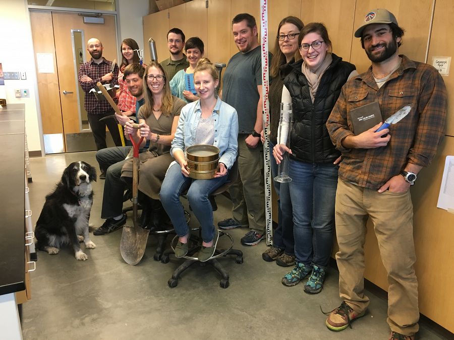
Jen Pierce and the Earth, Wind and Fire lab.
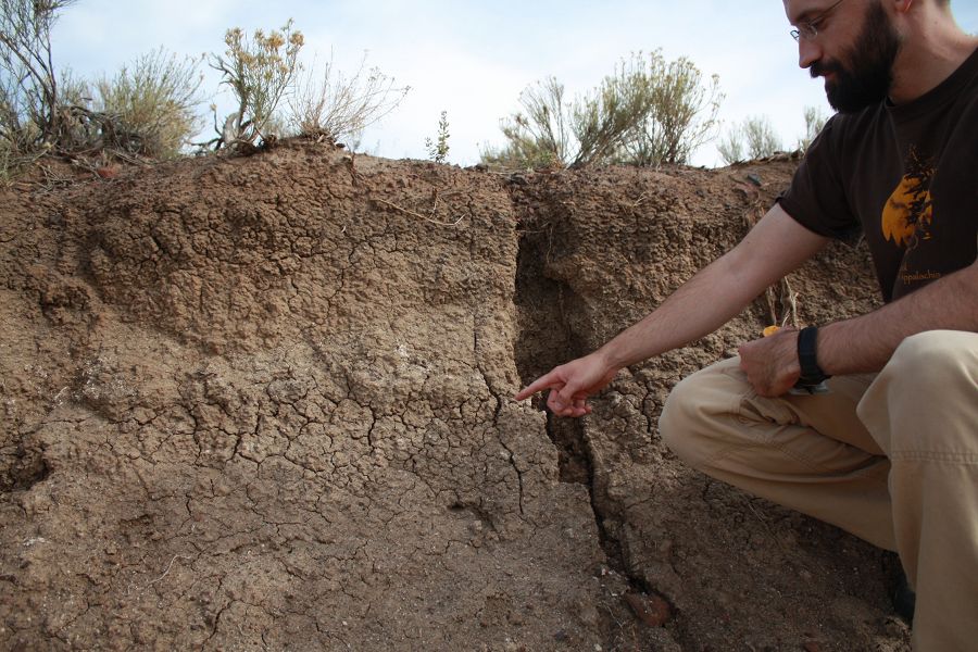
Soil profile at the RCCZO.
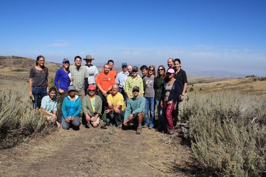
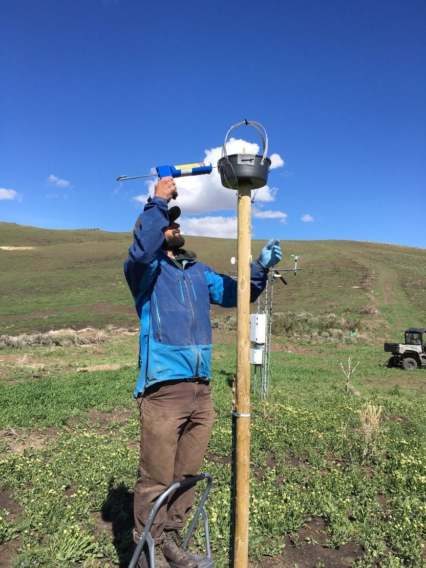
Field crew in the Reynolds Creek Experimental Watershed.
RCCZO
News Category:
PEOPLE

Related News

Explore Further
