Critical Zone Profile – TRAVIS NIELSON (geophysicist, graduate student)

Travis Nielson, originally from Utah, grew up in Salt Lake City and completed a B.S. in Physics at the University of Utah. During his time as an undergrad, he worked as a GIS tech for a small geologic consulting firm, which led to an interest in the geosciences and geophysical imaging methods. Nielson is currently a geophysics Master’s student at Boise State University working with Dr. John Bradford, where he uses geophysical methods to investigate hydrogeological properties in the Critical Zone (CZ).
“By characterizing the CZ on a broad scale we gain insight into how heterogeneous forcing factors lead to a heterogeneous critical zone.” – Travis Nielson
I work on two distinct projects; the first uses seismic refraction tomography to map CZ architecture within a catchment, and the second uses electrical resistivity tomography (ERT) to image the change in soil moisture in response to seasonal changes and precipitation events. Both projects share the common goal of imaging the properties of the CZ (weathering degree and soil moisture) across a broad physical scale to better understand CZ processes.
These projects complement existing direct sampling methods, e.g. soil moisture probes or soil pits, with geophysical methods to create a multidimensional perspective of CZ properties. Geophysics is uniquely suited for this as it can provide a spatially broad image of the subsurface, thus elucidating lateral and vertical heterogeneity. For example, in situ soil moisture measurements are usually taken using a sensor that infers volumetric water content from a soil property at a point. Using soil moisture probes in conjunction with ERT, as we have done at the Reynolds Creek CZO, a time lapse 3D image of soil moisture can be created. These tomograms express the spatial heterogeneity of the soil’s response to rainfall and seasonal changes in soil moisture not visible with the moisture probes alone. This is, in essence, the goal of my research, to use geophysical methods to image hydrologic phenomena so that spatially variable processes can be better understood.
By characterizing the CZ on a broad scale we gain insight into how heterogeneous forcing factors lead to a heterogeneous critical zone. For example, studying CZ structure at a catchment scale can reveal how various factors such as elevation, aspect, and precipitation affect weathering extent. We can then compare the controls and architecture of the critical zones at other sites to gain a fuller understanding of CZ processes as a whole.
The Critical Zone is a vital player in soil production, water storage, atmospheric gas buffering, hillslope stability, and so on. However, the critical zone is also one of, if not the most, heterogeneous portions of the crust making it difficult to model or generalize. This heterogeneity is, in part, why it is such an interesting field of study.
The CZO network provides collaboration across disciplines and field sites that is vital to my work.
The focus of many scientists on a single study site has allowed me to compare my results with those using different methods. We all approach these problems from different directions. As a geophysicist, I think of soils and saprolites in terms of seismic velocity, while a geochemist might think in terms of elemental depletion, and by comparing results we can often come to unexpected discoveries.
Greater understanding of the Critical Zone is important for our natural resources for a wide variety of reasons; just pick a resource and the CZ will be involved. Examples include 1) the need to understand soil generation and nutrient production in agriculture, 2) mountain water storage and groundwater inputs for water availability, 3) a sink and source of carbon relating to climate change, and 4) disasters, such as fire. The last of these examples being especially relevant to Idaho in terms of post-fire slope stability, soil recovery and species rebound. Better understanding the Critical Zone enables more informed decisions about how we manage our natural resources that depend on this layer.
Travis Nielson
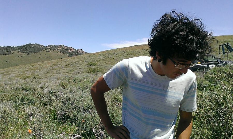
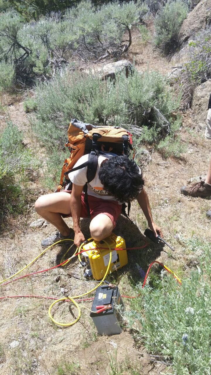
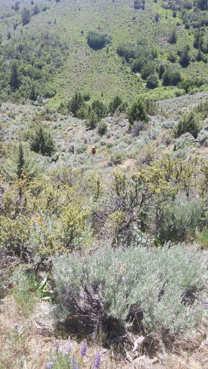
Nielson during field work.
Reynolds Creek CZO
News Category:
PEOPLE
Related News


Explore Further
