Large scale 3D seismic survey explores the deep CZ of Shale Hills
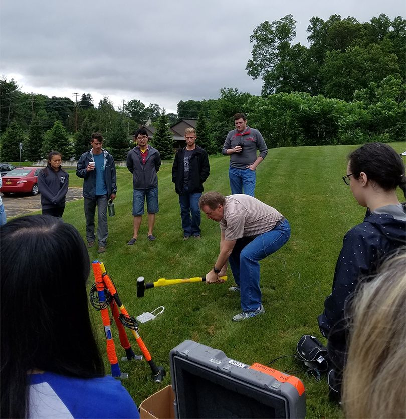
One of the first ever academically-led large scale 3D seismic refraction survey uses the Shale Hills watershed to capture high-resolution imaging of water pathways and regolith distribution in the deep critical zone. For this study, geophones were placed in 4200 locations (approximately 2m apart), sledge hammer strikes were collected in 2100 locations, and 50 shots from a betsy-gun. Measuring the travel times of the seismic waves generated by the hammer strikes provides information to create a shallow subsurface model. The study aims to answer fundamental questions concerning how the critical zone forms and evolves. Check out a betsy-gun demonstration here: https://youtu.be/wOPIs6F0evI
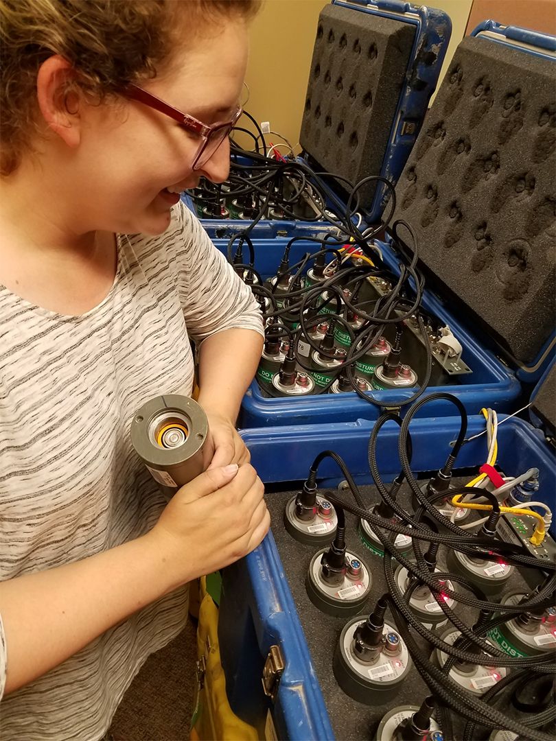
Natalie Accardo leads the programming of dataloggers.
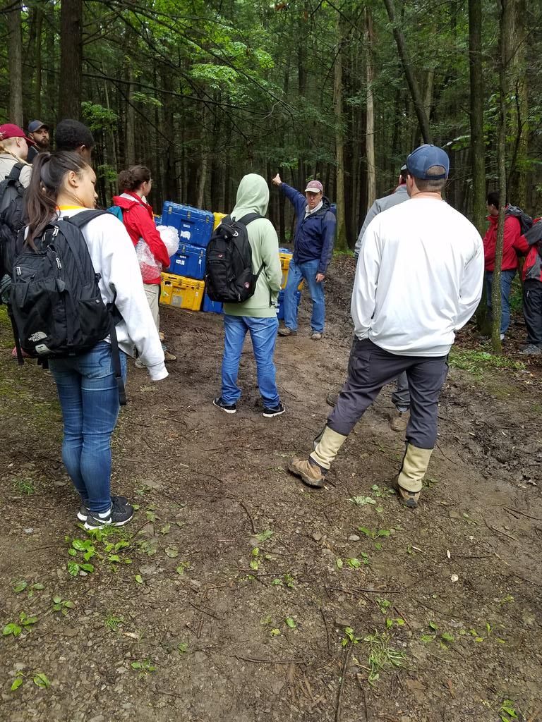
Andy Nyblade provides instruction prior to instrument deployment.
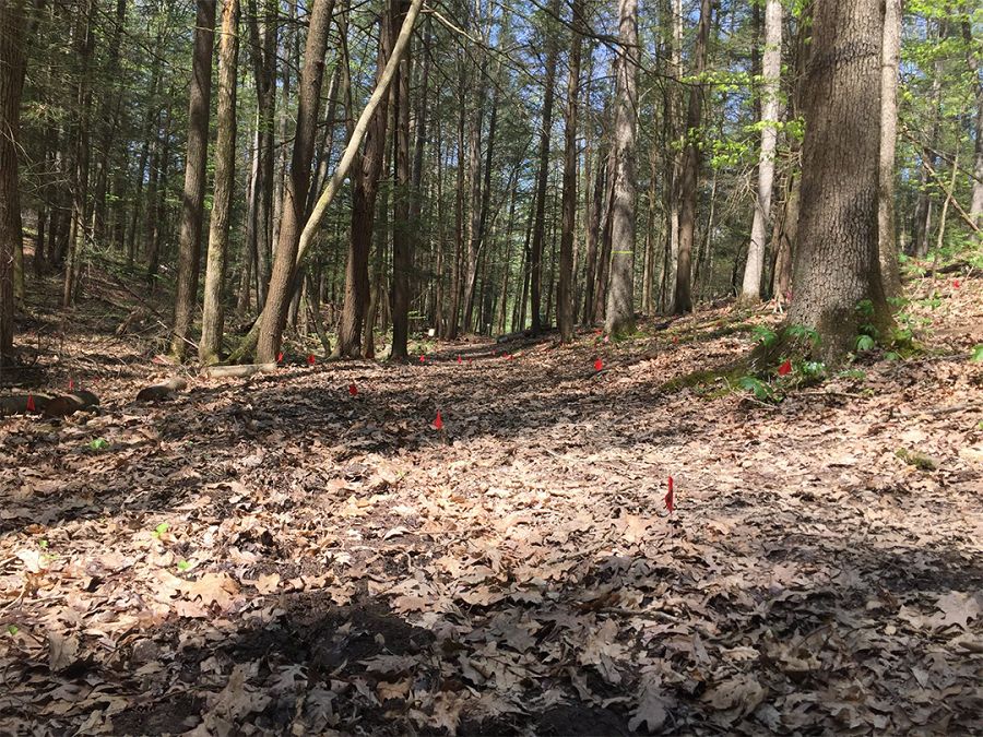
Just a subset of the 4200 red flags marking the placement of the geophones. Photo credit: Austin White-Gaynor
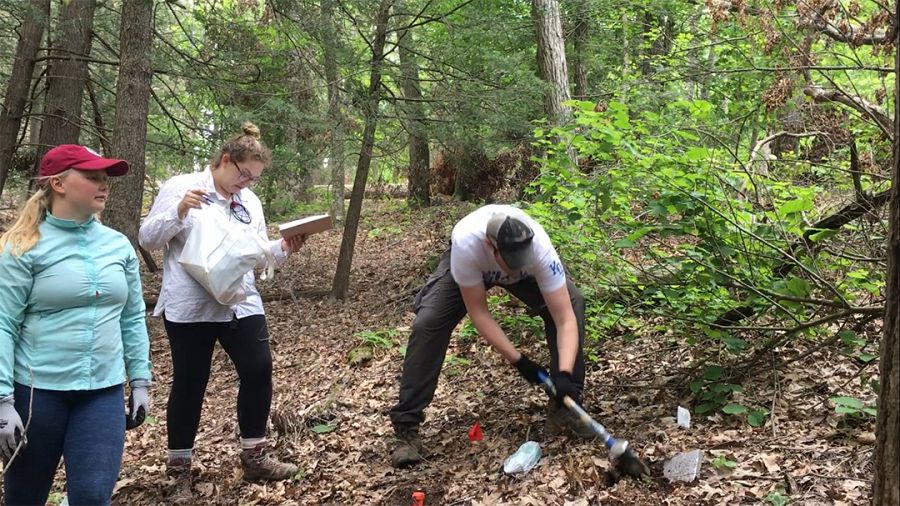
Team making hammer strikes and recording timing.
Natalie Accardo leads the programming of dataloggers.
Andy Nyblade provides instruction prior to instrument deployment.
Just a subset of the 4200 red flags marking the placement of the geophones. Photo credit: Austin White-Gaynor
Team making hammer strikes and recording timing.
News Category:
RESEARCH |
EDUCATION/OUTREACH

Explore Further
