| Name | Last modified | Size | Description | |
|---|---|---|---|---|
| Parent Directory | - | |||
| CZO_geology-simple.png | 2012-07-16 14:52 | 229K | ||
| SSHCZO_soil.jpg | 2012-12-13 12:09 | 121K | ||
| SSHCZO_geology_13022..> | 2013-02-21 15:13 | 143K | ||
| SSHCZO_landcover_130..> | 2013-02-21 15:14 | 145K | ||
| SSHCZO_elev_130221.jpg | 2013-02-21 15:14 | 274K | ||
| SSHCZO_orthophoto_13..> | 2013-02-21 15:14 | 295K | ||
| SSHCZO_overview_3.jpg | 2013-02-22 15:24 | 316K | ||
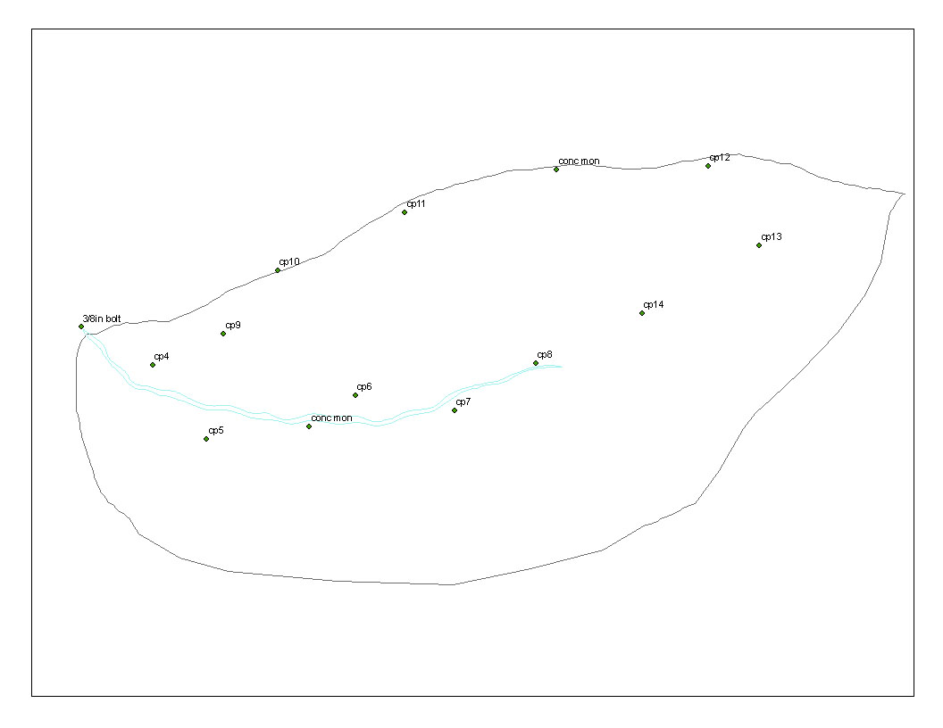
| ControlPointsMap.bmp | 2013-05-20 15:44 | 2.5M | ||
| automated_TDR_lin.png | 2013-05-22 14:26 | 142K | ||
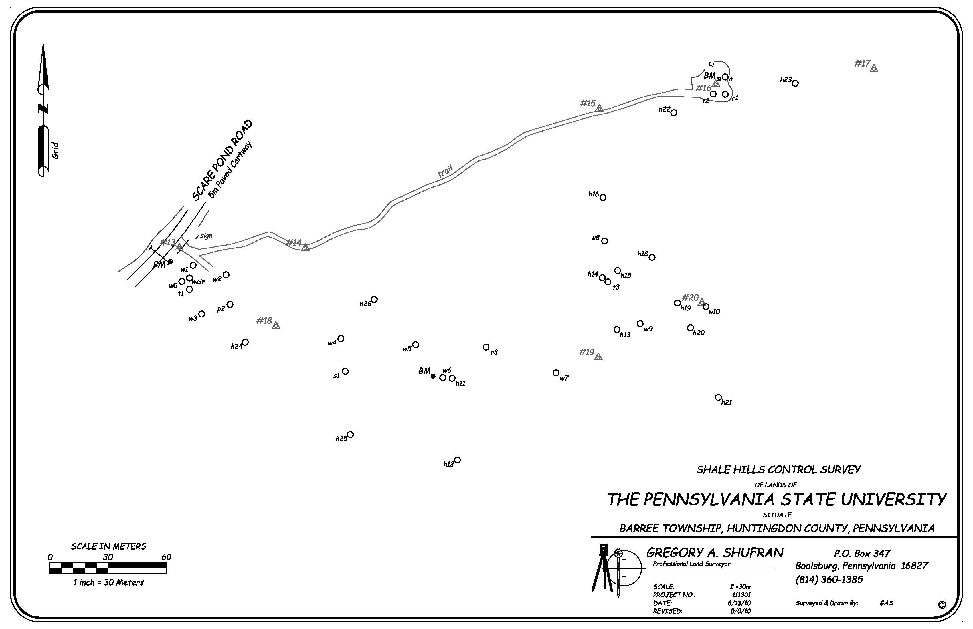
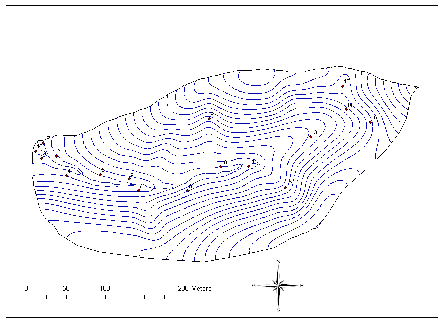
| ShaleHills_Map.jpg | 2013-05-24 10:44 | 427K | ||
| ControlPointsMap.jpg | 2013-05-24 10:49 | 65K | ||
| gw_wells_large.png | 2013-05-30 08:47 | 14K | ||
| transect_image.png | 2013-06-05 13:05 | 158K | ||
| _thumbs/ | 2023-07-28 11:43 | - | ||